Ashby cum Fenby

Civil Parish in Lincolnshire

England

Ashby cum Fenby

Equestrian facility near Ashby-cum-Fenby: aerial 2021
Equestrian facility near Ashby-cum-Fenby: aerial 2021 Credit: Simon Tomson

Ashby cum Fenby is a civil parish located in the East Lindsey district of Lincolnshire, England. Situated approximately 6 miles north of the town of Grimsby, the parish covers an area of around 5 square miles. The settlement is primarily agricultural, with a population of about 200 residents.

The village of Ashby cum Fenby is characterized by its serene and picturesque rural setting. It features a mix of traditional brick and stone houses, surrounded by lush green fields and farmland. The landscape is dotted with small patches of woodland, adding to the natural beauty of the area.

The parish is home to St. Peter's Church, a historic Anglican church that dates back to the 12th century. The church is known for its striking architecture and beautiful stained glass windows, attracting visitors and historians alike.

While Ashby cum Fenby is a small village, it offers a close-knit community atmosphere. Residents enjoy a peaceful and tranquil lifestyle, away from the hustle and bustle of larger towns and cities. The village has a strong sense of community spirit, with various local events and activities organized throughout the year.

Despite its rural location, Ashby cum Fenby benefits from its proximity to nearby amenities. The town of Grimsby provides access to a range of shops, restaurants, and leisure facilities, ensuring that residents have easy access to essential services.

Overall, Ashby cum Fenby is a charming and idyllic village, offering a peaceful and rural lifestyle in the heart of Lincolnshire.

If you have any feedback on the listing, please let us know in the comments section below.

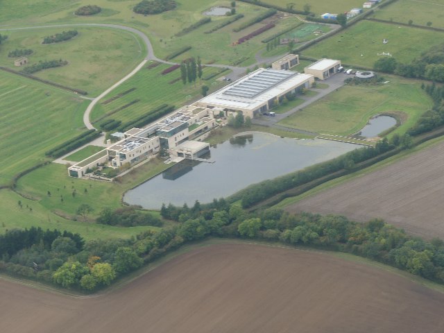
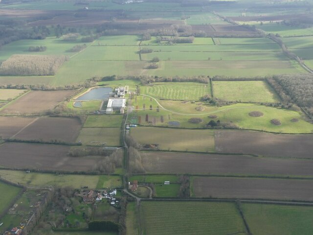
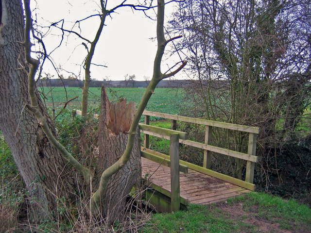
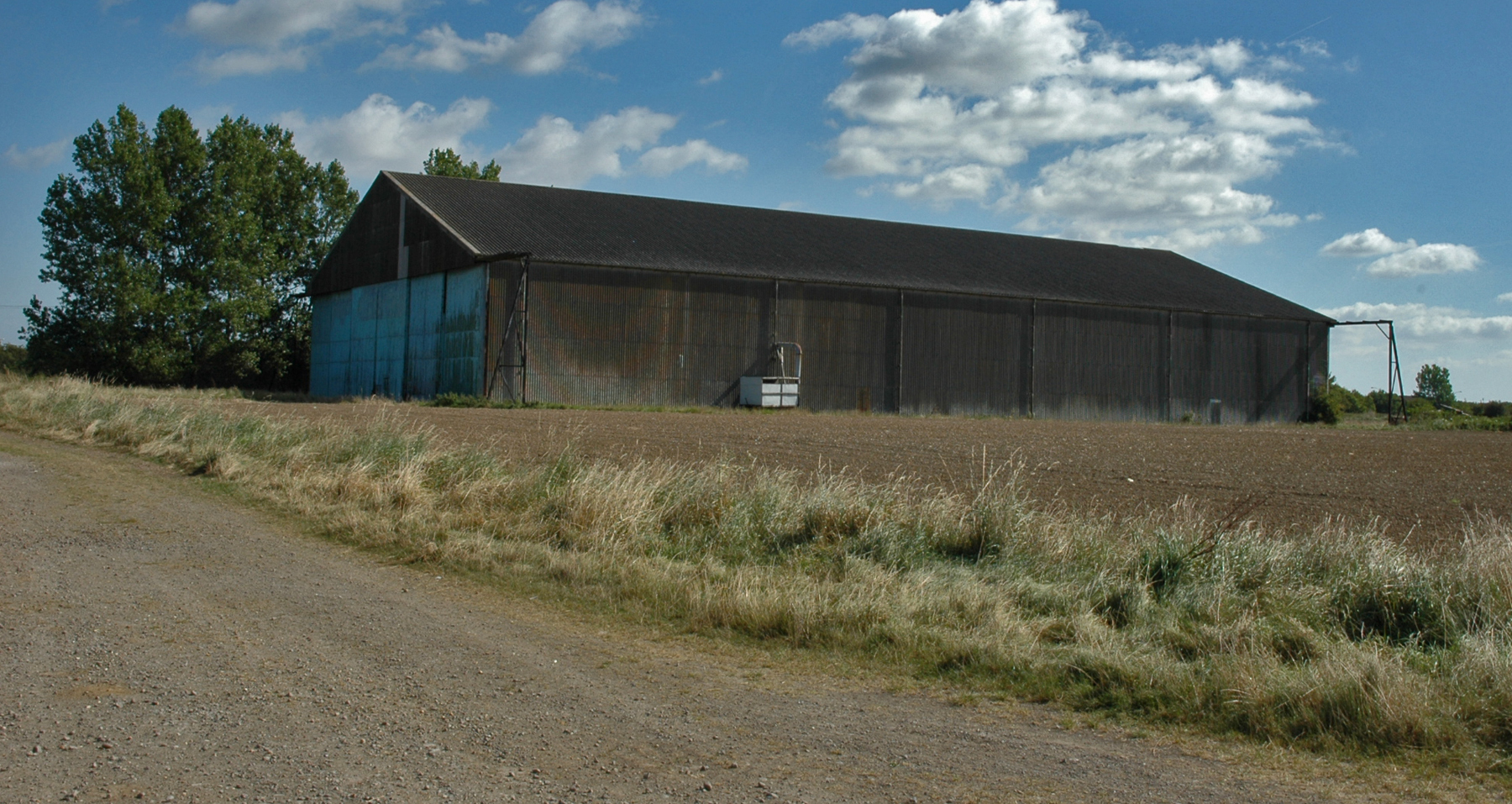
Ashby cum Fenby Images

Images are sourced within 2km of 53.487544/-0.11266 or Grid Reference TA2500. Thanks to Geograph Open Source API. All images are credited.

Equestrian facility near Ashby-cum-Fenby: aerial 2021
Across Ashby cum Fenby to the equestrian facility at South Farm: aerial 2022
Equestrian facility at South Farm, Ashby cum Fenby: aerial 2022 See also <a href="https://www.geograph.org.uk/photo/7144747">TF2599 : Across Ashby cum Fenby to the equestrian facility at South Farm: aerial 2022</a>.
Equestrian facility at South Farm, Ashby cum Fenby: aerial 2022
Fenby Wood: aerial 2022
St.Martin's church, East Ravendale, Lincs. By James Fowler in 1857 in the Early English style
St.Martin's church, East Ravendale, Lincs.
By James Fowler in 1857 in the Early English style
Footbridge  Looking SW from the top NE corner of the grid square which is all farmland.
Footbridge
Looking SW from the top NE corner of the grid square which is all farmland.
Track To East Revendale The track heads east from the road adjacent to a small disused quarry.
Track To East Revendale
The track heads east from the road adjacent to a small disused quarry.
East Ravendale village A lovely thatched cottage beyond the church, where the road turns into tracks.
East Ravendale village
A lovely thatched cottage beyond the church, where the road turns into tracks.
East Ravendale School A lovely little village school, built in 1856 when the population was around 100.
East Ravendale School
A lovely little village school, built in 1856 when the population was around 100.
Tall trees The "wood with no name" near Grainsby, this time looking south and further along the Ashby-cum-Fenby footpath.  The little bridge which can be seen carried the path over the small beck.
Tall trees
The "wood with no name" near Grainsby, this time looking south and further along the Ashby-cum-Fenby footpath. The little bridge which can be seen carried the path over the small beck.
Farm track Looking west with the Wolds in the distance.  According to the OS maps we are at a height of about 22 metres above mean sea level at this point.
Farm track
Looking west with the Wolds in the distance. According to the OS maps we are at a height of about 22 metres above mean sea level at this point.
Ravendale crossroads The view of the main B1203 heading away south to Binbrook and beyond.
Ravendale crossroads
The view of the main B1203 heading away south to Binbrook and beyond.
East Ravendale view The school is to the right and the road heads out towards the B1203.
East Ravendale view
The school is to the right and the road heads out towards the B1203.
Thatched cottage, East Ravendale An excellent example, found near to the church on the eastern side of the village.
Thatched cottage, East Ravendale
An excellent example, found near to the church on the eastern side of the village.
High road or Low road? Confusion existed here for a couple of moments as the OS map clearly indicates a bridlepath heads to Ashby-cum-Fenby, and suggests the road to the left is the right one, but no, the road to the right, although it looks wrong, is indeed the right one with the Ashby path heading left a little way along.
High road or Low road?
Confusion existed here for a couple of moments as the OS map clearly indicates a bridlepath heads to Ashby-cum-Fenby, and suggests the road to the left is the right one, but no, the road to the right, although it looks wrong, is indeed the right one with the Ashby path heading left a little way along.
Hedged Bridlepath About halfway between East Ravendale and Barton Street (A18), the bridlepath to Ashby-cum-Fenby has a most tidy appearance despite its regular usage.
Hedged Bridlepath
About halfway between East Ravendale and Barton Street (A18), the bridlepath to Ashby-cum-Fenby has a most tidy appearance despite its regular usage.
Bridleway Junction Looking north east this path leads back to Barton Street (A18) and Fenby Top Wood which can be seen in the distance.
Bridleway Junction
Looking north east this path leads back to Barton Street (A18) and Fenby Top Wood which can be seen in the distance.
Bridleway Junction (1) Between the oil seed rape and the boundary hedge, this bridleway heads west towards East Ravendale.
Bridleway Junction (1)
Between the oil seed rape and the boundary hedge, this bridleway heads west towards East Ravendale.
Show me another place!

Ashby cum Fenby is located at Grid Ref: TA2500 (Lat: 53.487544, Lng: -0.11266)

Unitary Authority: North East Lincolnshire

Police Authority: Humberside

What 3 Words

///blatantly.pies.month. Near Waltham, Lincolnshire

Related Wikis

Ashby cum Fenby

Ashby cum Fenby is a village and civil parish in North East Lincolnshire, England, approximately 5 miles (8 km) south from Grimsby, and just east of the...

Brigsley

Brigsley is a village and civil parish in North East Lincolnshire, England, and on the B1203 road, 1 mile (1.6 km) south from Waltham. According to the...

East Ravendale

East Ravendale is a small village and civil parish in North East Lincolnshire, England. It is situated 6 miles (9.7 km) south-south-west from Grimsby,...

RAF Grimsby

Royal Air Force Grimsby or more simply RAF Grimsby is a former Royal Air Force station located near Grimsby, Lincolnshire, England. The site was operational...

Nearby Amenities

Located within 500m of 53.487544,-0.11266
Ashby cum Fenby
Is In: Lincolnshire, England, UK
Place: village
Source: npe
Lat/Long: 53.4882228/-0.1119379
Bus Stop
Main Road
Naptan AtcoCode: 228000168842
Naptan Bearing: N
Naptan CommonName: Main Road
Naptan Crossing: Ashby Lane
Naptan Indicator: N-bound
Naptan NaptanCode: gridtap
Naptan Notes: none
Naptan Street: Main Road
Naptan Verified: no
Source: naptan_import
Lat/Long: 53.4904159/-0.1121594
Public Bookcase
Booth: K6
Disused Amenity: telephone
Man Made: telephone_box
Public Bookcase Type: phone_box
Lat/Long: 53.4889939/-0.11197
Post Box
Collection Times: Mo-Fr 09:00; Sa 07:00
Operator: Royal Mail
Operator Wikidata: Q638098
Post Box Mounting: pier
Post Box Type: lamp
Ref: DN37 119
Lat/Long: 53.4893067/-0.1117983
Bench
Source: survey
Lat/Long: 53.4874311/-0.116829
Barrier: kissing_gate
Kissing Gate: triangular_profile
Lat/Long: 53.4876805/-0.1136385
The data included in this document is from www.openstreetmap.org. The data is made available under ODbL.

Have you been to Ashby cum Fenby?

Leave your review of Ashby cum Fenby below (or comments, questions and feedback).