Ash

Civil Parish in Somerset South Somerset

England

Ash

Town Tree Lane
Town Tree Lane Credit: Sarah Charlesworth

Ash is a civil parish located in the South Somerset district of Somerset, England. It is situated about 4 miles south of Yeovil and covers an area of approximately 1,609 acres. The parish is primarily rural, with a population of around 500 residents.

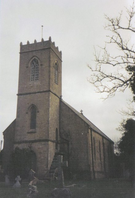
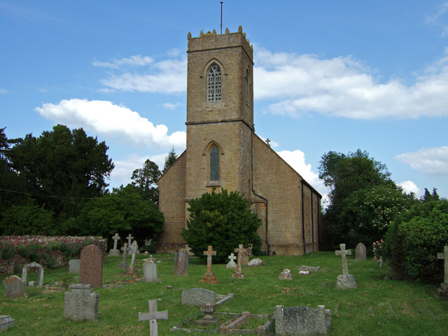
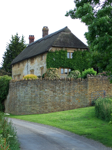
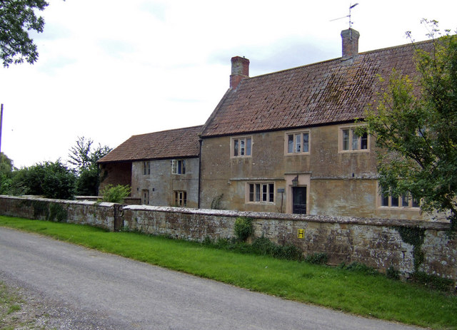
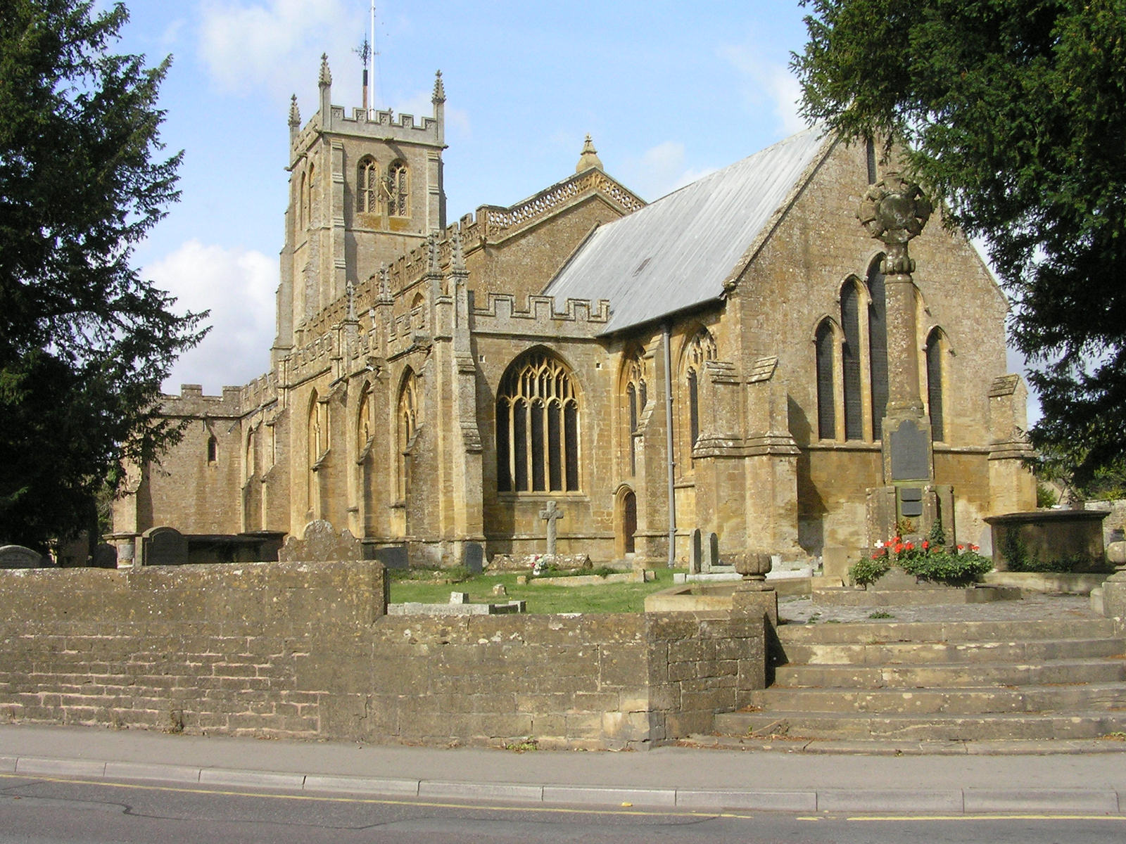
The village of Ash itself is small and picturesque, characterized by a charming mix of traditional thatched cottages and more modern residential properties. The centerpiece of the village is the 13th-century Church of St. Nicholas, a Grade I listed building that showcases stunning medieval architecture.

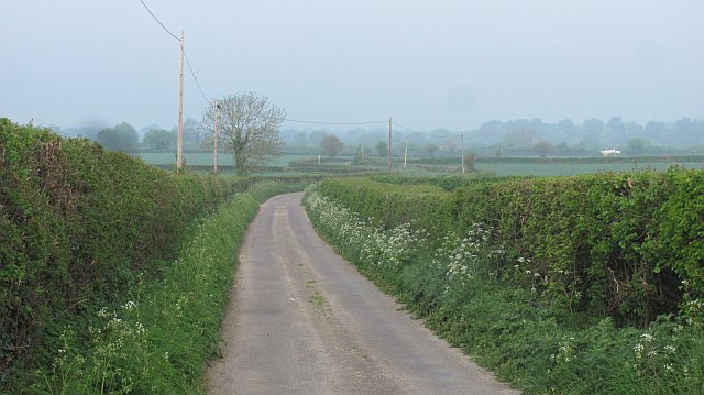
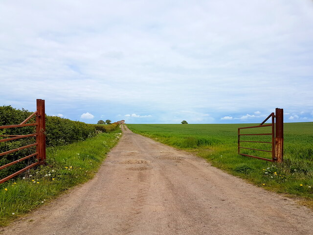
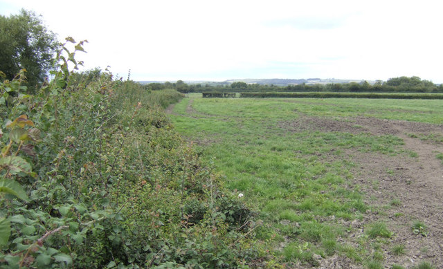
The parish is surrounded by beautiful countryside, with rolling fields and meadows providing a tranquil and scenic setting. The area is known for its agricultural heritage, and farming remains an important industry in the region.

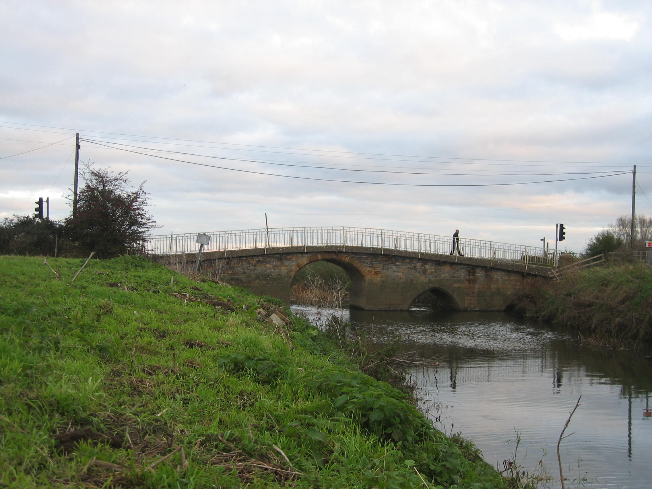
Despite its rural character, Ash benefits from good transportation links. The A37 road passes through the parish, connecting it to nearby towns and cities. The village is also served by several bus routes, providing access to Yeovil and other surrounding areas.

Residents of Ash enjoy a close-knit community atmosphere, with a range of amenities available. These include a village hall, which hosts various social events and activities, as well as a primary school, providing education for local children.

Overall, Ash, Somerset offers a peaceful and idyllic setting for those seeking a rural lifestyle, while still being within easy reach of larger towns and cities.

If you have any feedback on the listing, please let us know in the comments section below.
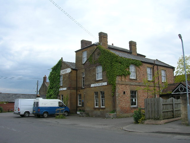
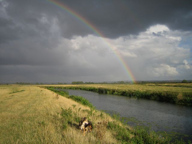
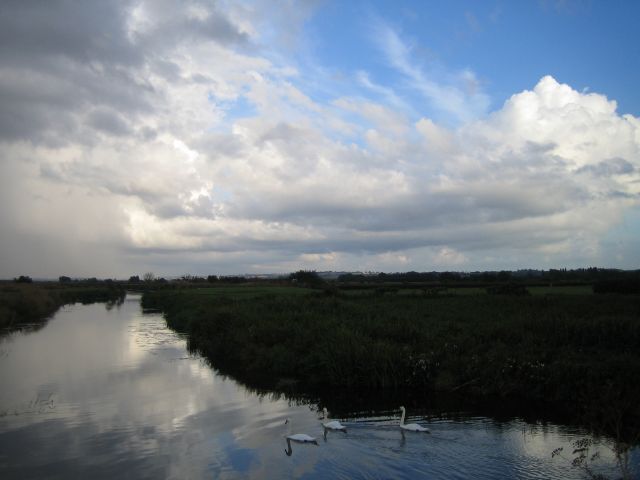
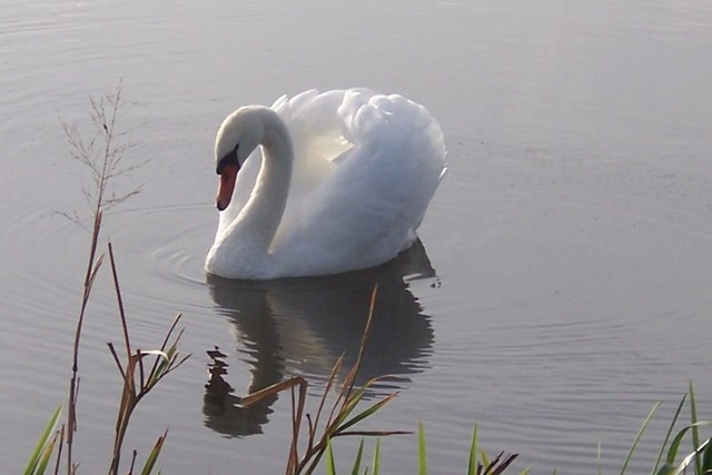
Ash Images

Images are sourced within 2km of 50.991962/-2.74385 or Grid Reference ST4721. Thanks to Geograph Open Source API. All images are credited.

Town Tree Lane
Town Tree Lane
B3165 north of Stapleton (aka Long Load Road)
Farmland, Stapleton There is a gas pipeline marker in the hedge.
Farmland, Stapleton
There is a gas pipeline marker in the hedge.
Town Tree Lane No through road, heading down to the moors.
Town Tree Lane
No through road, heading down to the moors.
Cattle by Mare Grove Mare Grove is the lane between hedges on the far side of the field.
Cattle by Mare Grove
Mare Grove is the lane between hedges on the far side of the field.
A dense hedgerow A big hedge off Long Load Road.
A dense hedgerow
A big hedge off Long Load Road.
Farm Track Near Bearley Farm This farm track runs north from the main farm access track to Bearley Farm towards the Bearley Brook. The land is very flat here being on the southern edge of the Somerset Levels.
Farm Track Near Bearley Farm
This farm track runs north from the main farm access track to Bearley Farm towards the Bearley Brook. The land is very flat here being on the southern edge of the Somerset Levels.
Mayne Lane Nursery and Yeovil Christmas Tree Farm Looking down the track towards the road from the nursery buildings.  The nursery is very easy to get to from the A303.
Mayne Lane Nursery and Yeovil Christmas Tree Farm
Looking down the track towards the road from the nursery buildings. The nursery is very easy to get to from the A303.
Christmas trees galore! At this time of year Mayne Lane Nursery and Yeovil Christmas Tree Farm is full of trees.  There are loads to choose from of all sizes, a few are potted and the rest are cut.
Christmas trees galore!
At this time of year Mayne Lane Nursery and Yeovil Christmas Tree Farm is full of trees. There are loads to choose from of all sizes, a few are potted and the rest are cut.
Martock The former Railway Hotel, now a public house. Martock railway station and  the Great Western Railway line from Langport to Yeovil once stood opposite the hotel.
Martock
The former Railway Hotel, now a public house. Martock railway station and the Great Western Railway line from Langport to Yeovil once stood opposite the hotel.
River Yeo Evening rainbow touching down on Milton Mead across the river Yeo upstream of Long Load.
River Yeo
Evening rainbow touching down on Milton Mead across the river Yeo upstream of Long Load.
River Yeo Thundery weather approaching.
River Yeo
Thundery weather approaching.
Ash: parish church of the Holy Trinity
Swan on the river in Long Load
Holy Trinity Church - Ash Completed by Kempthorne in 1840, with the addition of the west tower during the 2oth century.
Holy Trinity Church - Ash
Completed by Kempthorne in 1840, with the addition of the west tower during the 2oth century.
Lower Witcombe Farm - Witcombe Grade II listed C17 detached farmhouse.
Lower Witcombe Farm - Witcombe
Grade II listed C17 detached farmhouse.
Manor Farm House A substantial stone building in need of some TLC.
Manor Farm House
A substantial stone building in need of some TLC.
Worn-out dairy pasture Near New Witcombe Farm, a very large dairy unit.
Worn-out dairy pasture
Near New Witcombe Farm, a very large dairy unit.
Show me another place!

Ash is located at Grid Ref: ST4721 (Lat: 50.991962, Lng: -2.74385)

Administrative County: Somerset

District: South Somerset

Police Authority: Avon and Somerset

What 3 Words

///journals.treetop.dressing. Near Martock, Somerset

Nearby Locations

Witcombe Ash

Related Wikis

Nearby Amenities

Located within 500m of 50.991962,-2.74385
Witcombe
Place: hamlet
Lat/Long: 50.9913392/-2.7471372
Witcombe Bottom
Place: hamlet
Lat/Long: 50.9957016/-2.7454077
Power: pole
Source: bing
Transformer: distribution
Lat/Long: 50.99195/-2.7469294
Power: pole
Source: bing
Lat/Long: 50.9922539/-2.7506536
Power: pole
Source: bing
Lat/Long: 50.9921948/-2.7498718
Power: pole
Source: bing
Lat/Long: 50.9921306/-2.749161
Power: pole
Source: bing
Lat/Long: 50.9920386/-2.7480854
Power: pole
Source: bing
Lat/Long: 50.9923239/-2.7458538
Power: pole
Source: bing
Lat/Long: 50.9928304/-2.7444349
Power: pole
Source: bing
Lat/Long: 50.9930397/-2.7438489
Power: pole
Source: bing
Lat/Long: 50.9935479/-2.7425225
Power: pole
Source: bing
Lat/Long: 50.9941498/-2.7400477
Power: pole
Source: bing
Lat/Long: 50.9939471/-2.7408247
The data included in this document is from www.openstreetmap.org. The data is made available under ODbL.

Have you been to Ash?

Leave your review of Ash below (or comments, questions and feedback).