Ash Priors

Civil Parish in Somerset Somerset West and Taunton

England

Ash Priors

Ash Priors: Ash Common Aid from English Nature’s Wildspace Grant assists the local council manage the common, which was made a Local Nature Reserve in 1995. Plants such as Devil’s Bit Scabious, Heath and Common Spotted Orchid, Lousewort, Milkwort and Purple Moor Grass grow here
Ash Priors: Ash Common Credit: Martin Bodman

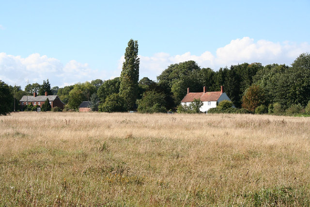
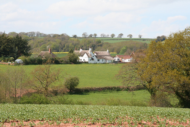
Ash Priors is a civil parish located in the county of Somerset, England. It is situated approximately 5 miles east of the town of Taunton, within the district of Somerset West and Taunton. The parish covers an area of about 4 square miles and is surrounded by picturesque countryside, featuring rolling hills and farmland.

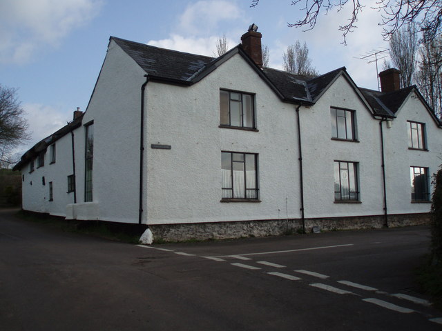
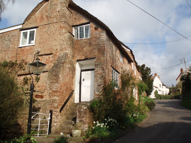
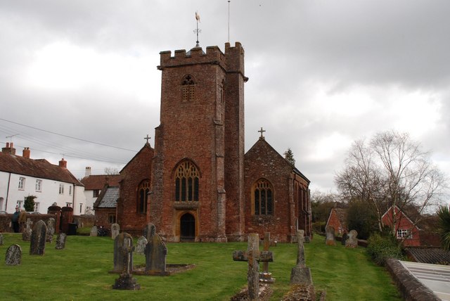
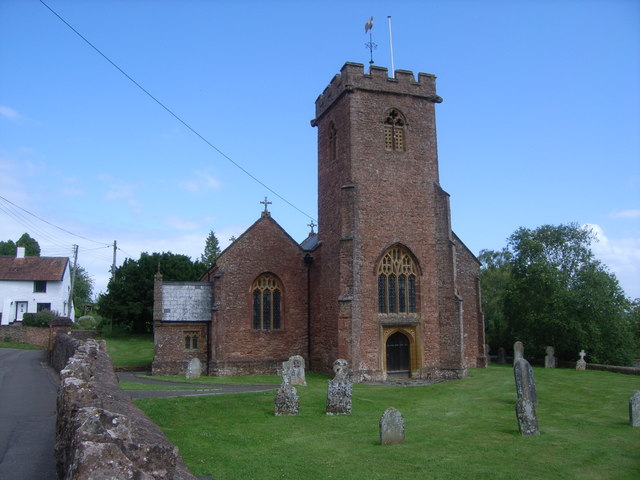
The village of Ash Priors itself is small and consists of a handful of houses and cottages, along with a church and a village hall. The parish is primarily residential, with a population of around 200 people. The community is close-knit and friendly, with a strong sense of community spirit.

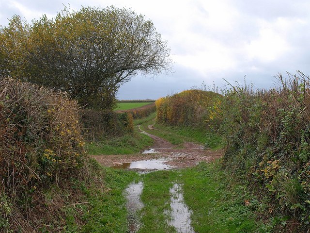
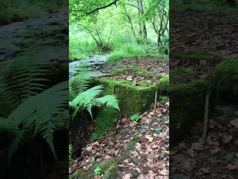
The area is renowned for its natural beauty, with several footpaths and bridleways that allow residents and visitors to explore the surrounding countryside. There are also many opportunities for outdoor activities such as walking, hiking, and cycling.

In terms of amenities, Ash Priors is well-served by nearby towns and villages. The town of Taunton provides a wide range of shops, restaurants, and leisure facilities, including a golf course and a swimming pool. There are also several primary and secondary schools in the area, offering educational opportunities for families with children.

Overall, Ash Priors offers a tranquil and picturesque setting for those seeking a rural lifestyle, while still providing easy access to nearby amenities and services. Its natural beauty and strong sense of community make it an attractive place to live or visit.

If you have any feedback on the listing, please let us know in the comments section below.
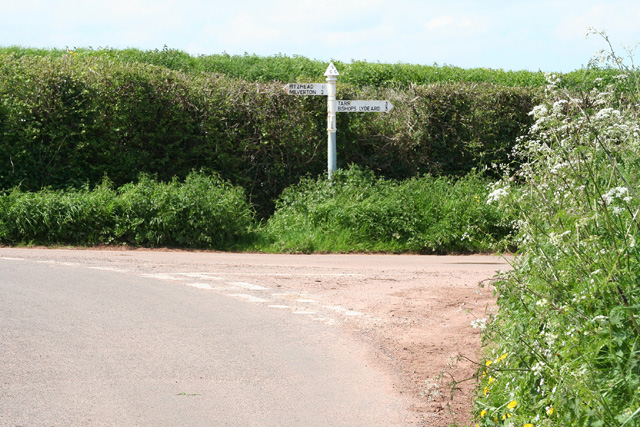
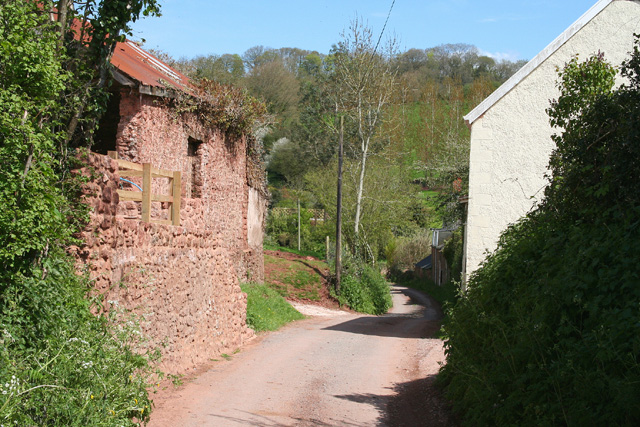
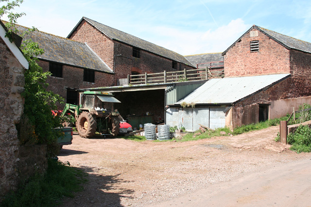
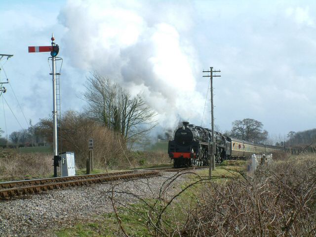
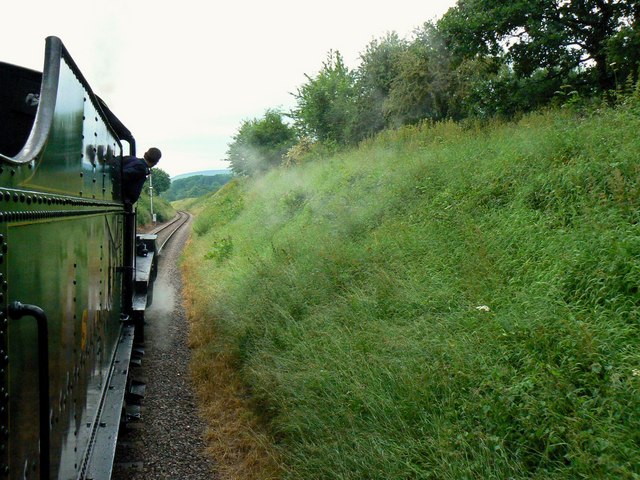
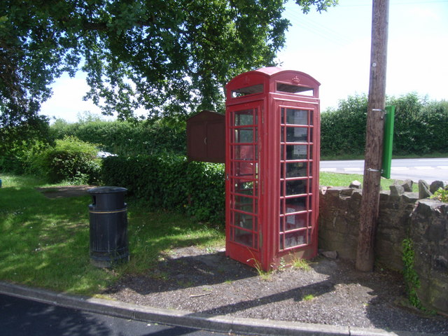
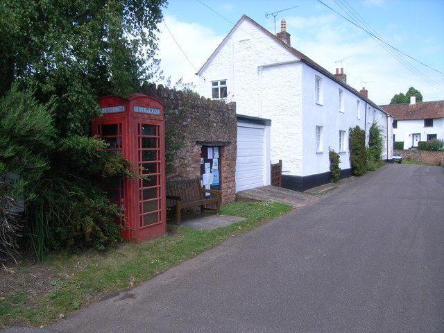
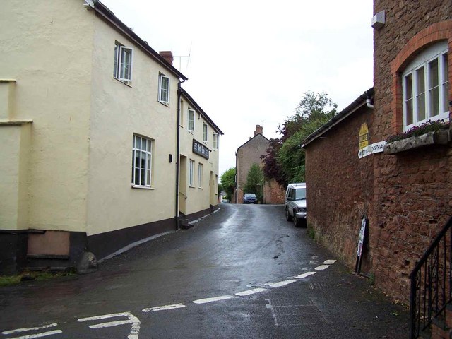
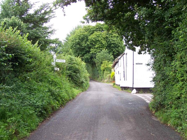
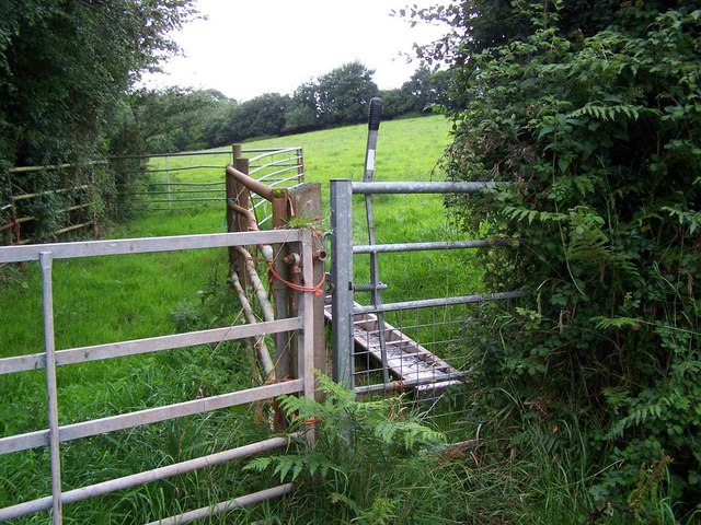
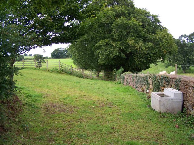
Ash Priors Images

Images are sourced within 2km of 51.061814/-3.222102 or Grid Reference ST1429. Thanks to Geograph Open Source API. All images are credited.

Ash Priors: Ash Common Aid from English Nature’s Wildspace Grant assists the local council manage the common, which was made a Local Nature Reserve in 1995. Plants such as Devil’s Bit Scabious, Heath and Common Spotted Orchid, Lousewort, Milkwort and Purple Moor Grass grow here
Ash Priors: Ash Common
Aid from English Nature’s Wildspace Grant assists the local council manage the common, which was made a Local Nature Reserve in 1995. Plants such as Devil’s Bit Scabious, Heath and Common Spotted Orchid, Lousewort, Milkwort and Purple Moor Grass grow here
Former Inn? This large house on the edge of Ash Priors could well have been the Inn marked on old maps.
Former Inn?
This large house on the edge of Ash Priors could well have been the Inn marked on old maps.
Ash Priors An idyllic village street scene. Perhaps one day the numerous electricity wires can be buried underground.
Ash Priors
An idyllic village street scene. Perhaps one day the numerous electricity wires can be buried underground.
Bishop’s Lydeard: towards Lower Stoford Looking north west from near the entrance to Hopkins Farm. (Lower Stoford is at ST14452877)
Bishop’s Lydeard: towards Lower Stoford
Looking north west from near the entrance to Hopkins Farm. (Lower Stoford is at ST14452877)
Halse: Combe Cross Looking north west
Halse: Combe Cross
Looking north west
Lydeard St Lawrence: Chapel Leigh Chapel Leigh is a hamlet consisting of two farms and a number of cottages. Looking east-north-east
Lydeard St Lawrence: Chapel Leigh
Chapel Leigh is a hamlet consisting of two farms and a number of cottages. Looking east-north-east
Halse: barns at Northway Farm Looking north-north-west
Halse: barns at Northway Farm
Looking north-north-west
Whiskey Trail Crossing Sandy Lane is a public footpath that links Sandhill Park and Bishops Lydeard. The alternative name of Whiskey Trail came from the American servicemen billeted in the grounds of the Park during WW2. It crosses the West Somerset Railway as shown in the picture.
Whiskey Trail Crossing
Sandy Lane is a public footpath that links Sandhill Park and Bishops Lydeard. The alternative name of Whiskey Trail came from the American servicemen billeted in the grounds of the Park during WW2. It crosses the West Somerset Railway as shown in the picture.
Aboard the 16.10 from Bishops Lydeard, heading north This view is north towards the end of the cutting through which the West Somerset Railway passes in this square. There is a link to the official WSR website in this image <a title="https://www.geograph.org.uk/photo/472015" href="https://www.geograph.org.uk/photo/472015">Link</a> The unofficial site is here <span class="nowrap"><a title="http://www.wsr.org.uk/index.htm" rel="nofollow ugc noopener" href="http://www.wsr.org.uk/index.htm">Link</a><img style="margin-left:2px;" alt="External link" title="External link - shift click to open in new window" src="https://s1.geograph.org.uk/img/external.png" width="10" height="10"/></span>
Aboard the 16.10 from Bishops Lydeard, heading north
This view is north towards the end of the cutting through which the West Somerset Railway passes in this square. There is a link to the official WSR website in this image Link The unofficial site is here LinkExternal link
Ash Priors, Holy Trinity Church
Telephone kiosk in Greenway, Bishops Lydeard This is No 33 of 42 images of BT telephone boxes in Taunton Deane which BT is trying to cull due to their claimed 'lack of use'.
Telephone kiosk in Greenway, Bishops Lydeard
This is No 33 of 42 images of BT telephone boxes in Taunton Deane which BT is trying to cull due to their claimed 'lack of use'.
Telephone kiosk at Ash Priors This is No 34 of 42 images of BT telephone boxes in Taunton Deane which BT is trying to cull due to their claimed 'lack of use'.
Telephone kiosk at Ash Priors
This is No 34 of 42 images of BT telephone boxes in Taunton Deane which BT is trying to cull due to their claimed 'lack of use'.
Holy Trinity Church, Ash Priors
New Inn, Halse
New Inn, Halse
Lane Junction in Ash Priors
Footpath Near Ash Priors
Footpath, Ash Priors
Byway to Tithill Looking in the other direction up <a href="https://www.geograph.org.uk/photo/1593613">ST1528 : Byway to Ash Priors (2)</a> as it passes gateways and field boundaries on either side and begins the ascent to Stallenge Farm.
Byway to Tithill
Looking in the other direction up ST1528 : Byway to Ash Priors (2) as it passes gateways and field boundaries on either side and begins the ascent to Stallenge Farm.
Show me another place!

Ash Priors is located at Grid Ref: ST1429 (Lat: 51.061814, Lng: -3.222102)

Administrative County: Somerset

District: Somerset West and Taunton

Police Authority: Avon and Somerset

What 3 Words

///disengage.umpires.pretty. Near Bishops Lydeard, Somerset

Nearby Locations

Denbury Wood Ash Priors

Related Wikis

Related Videos

Lucky Twice: Santa's Second Visit on the Christmas Steam Train Delights Kids Again!

Santa has returned for a second round of holiday magic on the Christmas Steam Train, and our kids couldn't be luckier! Join us on ...

Yuletide Marvel: Full View of the Christmas Steam Train and Enchanting Tracks!

Step into the mesmerizing world of the steam train as we unveil a full view of its magnificent presence against the scenic backdrop ...

Nearby Amenities

Located within 500m of 51.061814,-3.222102
Brand: National Grid
Brand Wikidata: Q1465461
Colour: gray
Design: three-level
Line Attachment: suspension
Material: metal
Operator: National Grid Electricity Distribution Plc
Operator Old: Western Power Distribution
Operator Wikidata: Q7988183
Owner: National Grid Electricity Distribution (South West) Plc
Owner Wikidata: Q114397866
Power: tower
Source: bing
Structure: lattice
Lat/Long: 51.0576855/-3.2212095
Brand: National Grid
Brand Wikidata: Q1465461
Colour: gray
Design: three-level
Line Attachment: suspension
Material: metal
Operator: National Grid Electricity Distribution Plc
Operator Old: Western Power Distribution
Operator Wikidata: Q7988183
Owner: National Grid Electricity Distribution (South West) Plc
Owner Wikidata: Q114397866
Power: tower
Source: bing
Structure: lattice
Lat/Long: 51.0619493/-3.2280036
Brand: National Grid
Brand Wikidata: Q1465461
Colour: gray
Design: three-level
Line Attachment: suspension
Material: metal
Operator: National Grid Electricity Distribution Plc
Operator Old: Western Power Distribution
Operator Wikidata: Q7988183
Owner: National Grid Electricity Distribution (South West) Plc
Owner Wikidata: Q114397866
Power: tower
Source: bing
Structure: lattice
Lat/Long: 51.0600584/-3.2249877
Access: private
Door: overhead
Entrance: yes
Motorcar: private
Lat/Long: 51.0575258/-3.2201441
Brand: National Grid
Brand Wikidata: Q1465461
Material: wood
Operator: National Grid Electricity Distribution Plc
Operator Old: Western Power Distribution
Operator Wikidata: Q7988183
Owner: National Grid Electricity Distribution (South West) Plc
Owner Wikidata: Q114397866
Power: pole
Lat/Long: 51.0646045/-3.2172593
Brand: National Grid
Brand Wikidata: Q1465461
Material: wood
Operator: National Grid Electricity Distribution Plc
Operator Old: Western Power Distribution
Operator Wikidata: Q7988183
Owner: National Grid Electricity Distribution (South West) Plc
Owner Wikidata: Q114397866
Power: pole
Lat/Long: 51.0652222/-3.2187234
Brand: National Grid
Brand Wikidata: Q1465461
Material: wood
Operator: National Grid Electricity Distribution Plc
Operator Old: Western Power Distribution
Operator Wikidata: Q7988183
Owner: National Grid Electricity Distribution (South West) Plc
Owner Wikidata: Q114397866
Power: pole
Lat/Long: 51.0658253/-3.2201734
Watering Place
Access: private
Description: Water trough.
Lat/Long: 51.0608503/-3.2167277
Give Way
Direction: backward
Lat/Long: 51.0638294/-3.2160156
Barrier: stile
Bicycle: no
Foot: yes
Material: wood
Stile: stepover
Lat/Long: 51.058081/-3.2186052
Brand: National Grid
Brand Wikidata: Q1465461
Devices: 1
Frequency: 50
Material: wood
Operator: National Grid Electricity Distribution Plc
Operator Old: Western Power Distribution
Operator Wikidata: Q7988183
Owner: National Grid Electricity Distribution (South West) Plc
Owner Wikidata: Q114397866
Phases: 1
Power: pole
Transformer: distribution
Lat/Long: 51.0579477/-3.2207331
Brand: National Grid
Brand Wikidata: Q1465461
Material: wood
Operator: National Grid Electricity Distribution Plc
Operator Old: Western Power Distribution
Operator Wikidata: Q7988183
Owner: National Grid Electricity Distribution (South West) Plc
Owner Wikidata: Q114397866
Power: pole
Lat/Long: 51.0576241/-3.2220095
Brand: National Grid
Brand Wikidata: Q1465461
Material: wood
Operator: National Grid Electricity Distribution Plc
Operator Old: Western Power Distribution
Operator Wikidata: Q7988183
Owner: National Grid Electricity Distribution (South West) Plc
Owner Wikidata: Q114397866
Power: pole
Lat/Long: 51.0573625/-3.2227409
Denbury Farm Fishing & Wildlife Holidays
Place: farm
Postal Code: TA4 3NA
Tourism: attraction
Lat/Long: 51.0593068/-3.2227037
Disused: yes
Historic: yes
Man Made: kiln
Product: lime
Lat/Long: 51.0594658/-3.2213558
Access: private
Door: overhead
Entrance: yes
Motorcar: private
Lat/Long: 51.0596091/-3.2227146
Brand: National Grid
Brand Wikidata: Q1465461
Location Transition: yes
Material: wood
Operator: National Grid Electricity Distribution Plc
Operator Old: Western Power Distribution
Operator Wikidata: Q7988183
Owner: National Grid Electricity Distribution (South West) Plc
Owner Wikidata: Q114397866
Power: pole
Lat/Long: 51.0599826/-3.2284731
The data included in this document is from www.openstreetmap.org. The data is made available under ODbL.

Have you been to Ash Priors?

Leave your review of Ash Priors below (or comments, questions and feedback).