Ash
Civil Parish in Kent Dover
England
Ash
Ash is a civil parish located in the county of Kent, in southeastern England. Situated about 8 miles northwest of Canterbury and 13 miles east of Maidstone, it covers an area of approximately 11 square miles. The parish is part of the borough of Canterbury and falls within the district of Ashford.
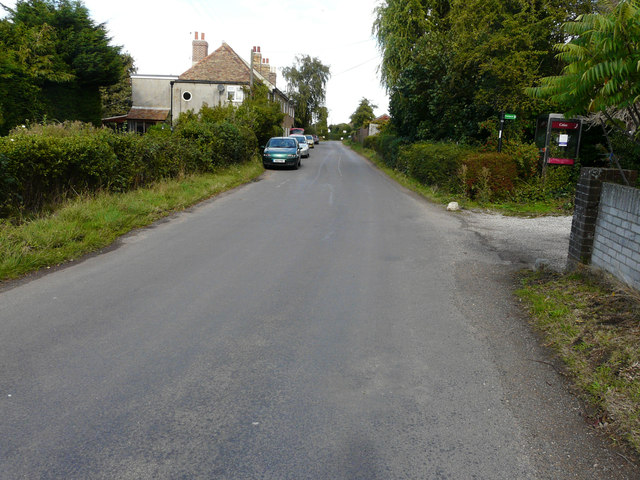
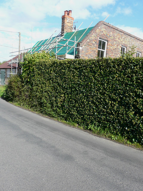
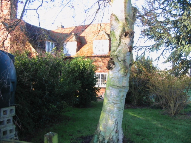
The village of Ash is the main settlement within the parish. It is a small and picturesque village that maintains much of its rural charm and character. The village features a mix of traditional and modern housing, including a number of historic buildings that date back several centuries. The local architecture is predominantly composed of brick and timber-framed buildings, creating a quaint and cozy atmosphere.
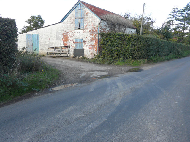
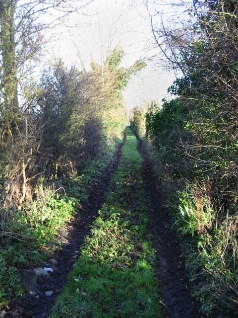
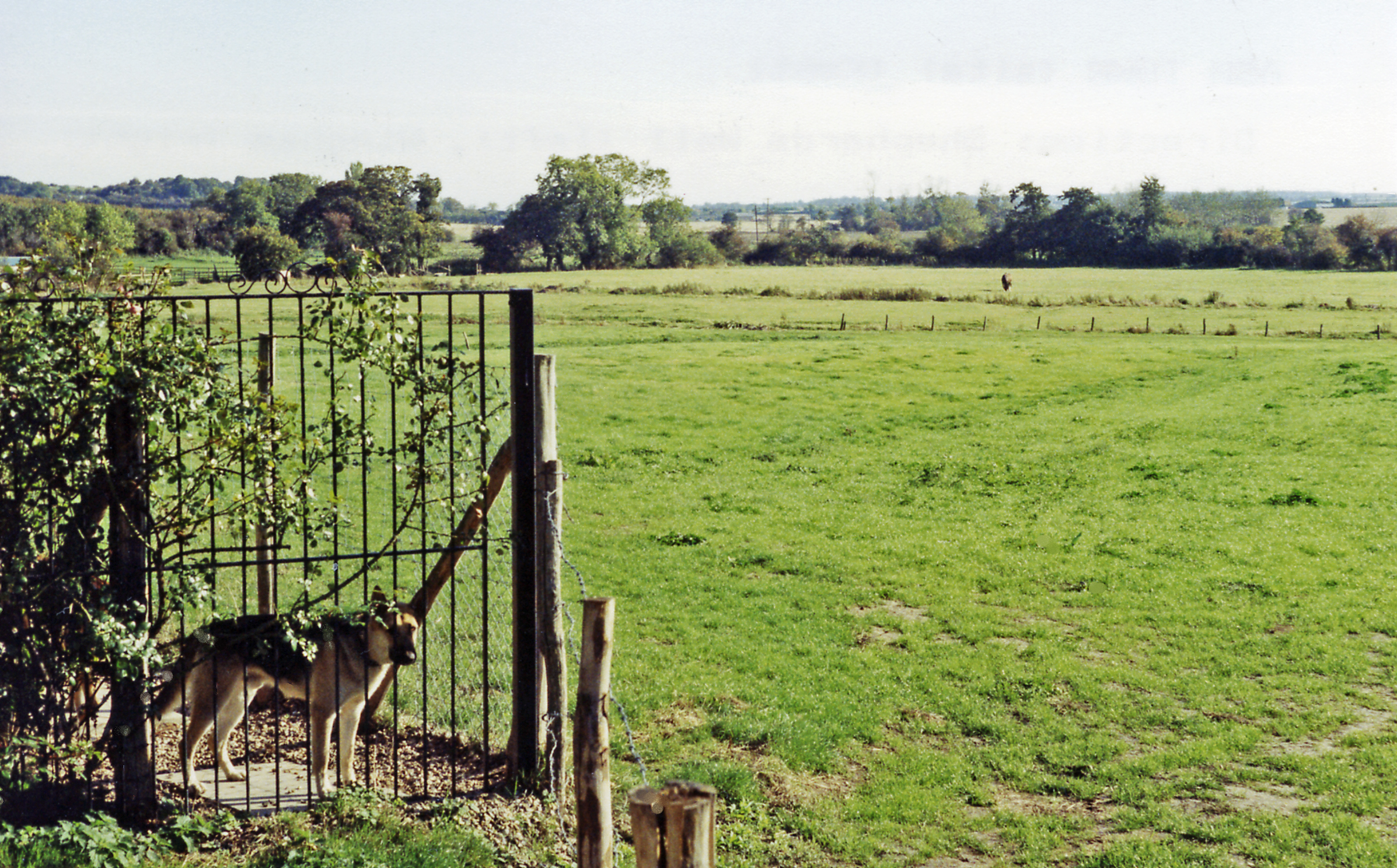
Ash is surrounded by beautiful countryside, with rolling hills and fields providing stunning views of the Kentish landscape. The parish is known for its agricultural heritage, and farming remains an important aspect of the local economy.
The village boasts a range of amenities, including a primary school, a village hall, shops, and a pub. It also benefits from good transport links, with the A28 road passing through the parish, connecting Ash to nearby towns and cities. Additionally, the Ashford International railway station is located just a few miles away, providing convenient access to London and other major destinations.
Overall, Ash offers a peaceful and idyllic setting for those seeking a quiet rural lifestyle, while still being within easy reach of larger urban areas.
If you have any feedback on the listing, please let us know in the comments section below.
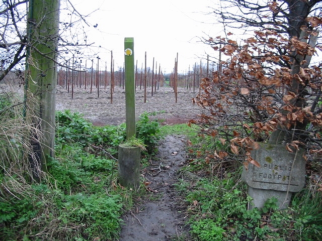
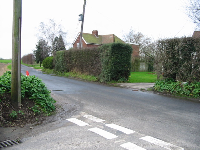
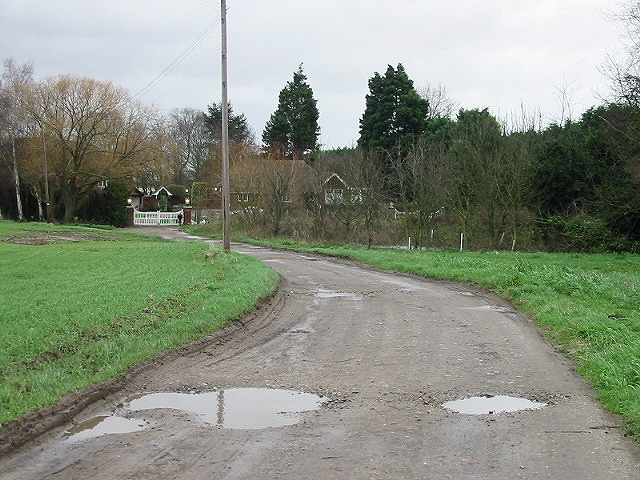
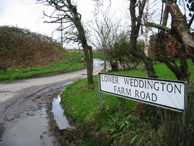
Ash Images
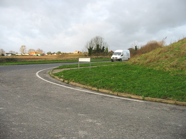
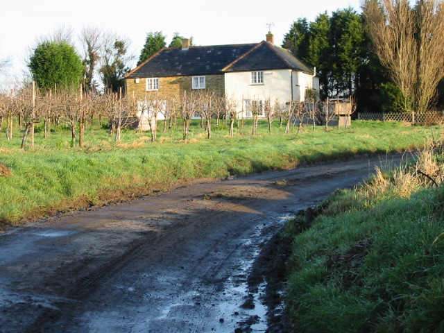
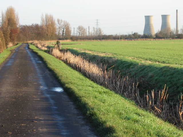
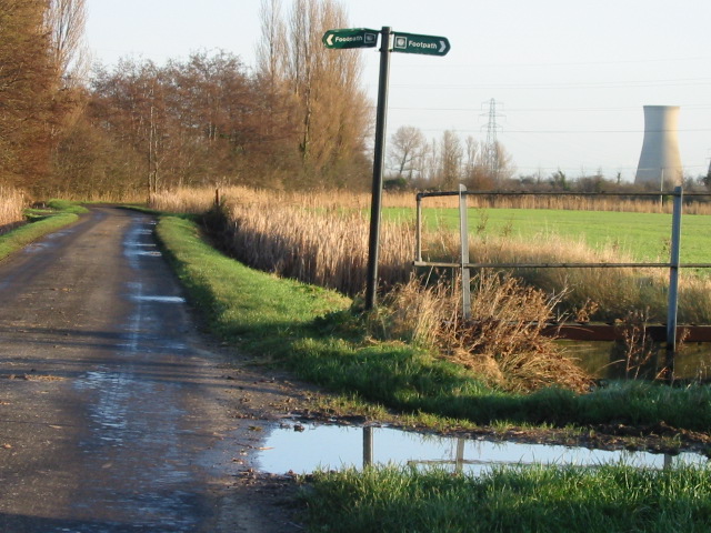
Images are sourced within 2km of 51.297738/1.291726 or Grid Reference TR2960. Thanks to Geograph Open Source API. All images are credited.
Ash is located at Grid Ref: TR2960 (Lat: 51.297738, Lng: 1.291726)
Administrative County: Kent
District: Dover
Police Authority: Kent
What 3 Words
///gurgling.flashing.meaning. Near Ash, Kent
Nearby Locations
Related Wikis

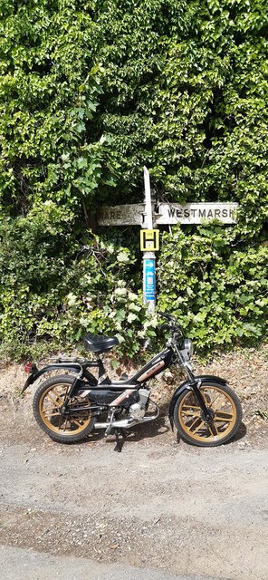
Ware, Kent
Ware is a village situated between Canterbury and Ramsgate in Kent, England. The population of the village is included in the civil parish of Ash ��2...

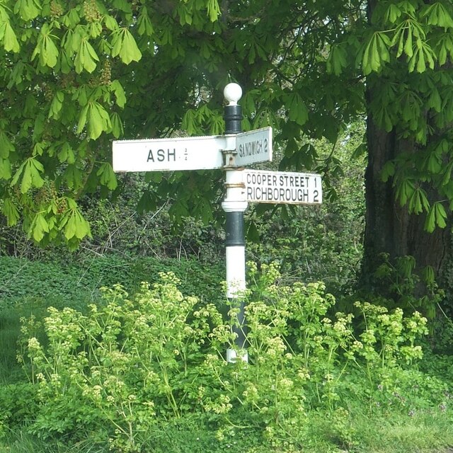
Richborough
Richborough () is a settlement north of Sandwich on the east coast of the county of Kent, England. Richborough lies close to the Isle of Thanet. The population...

Westmarsh
Westmarsh is a village in the Ash civil parish of East Kent, England. It is situated 8 miles (13 km) east of Canterbury and 7 miles (11 km) west of Ramsgate...

Ash, Dover District
Ash is a village and civil parish in the Dover district of east Kent about three miles west of Sandwich. The civil parish has a population of 2,767, increasing...
Ash Town railway station
Ash Town railway station was a railway station on the East Kent Light Railway. The station served the village of Ash. == History == Opened by the East...

Richborough Castle
Richborough Castle is a Roman Saxon Shore fort better known as Richborough Roman Fort. It is situated in Richborough near Sandwich, Kent. Substantial remains...
Sandwich Road railway station
Sandwich Road railway station was a railway station on the East Kent Light Railway. It opened in May 1925 and closed to passenger traffic on 1 November...
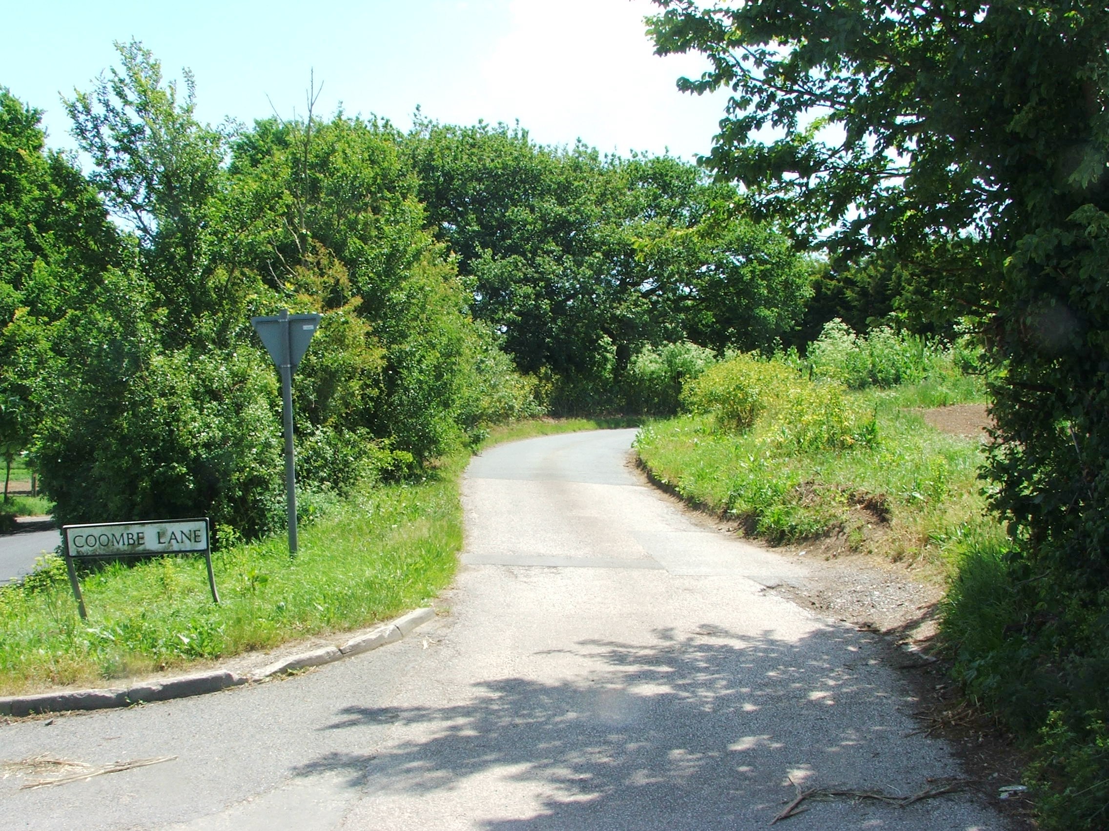
Coombe, Kent
Coombe is a settlement in the English county of Kent. It lies between Ash-next-Sandwich and Woodnesborough. According to Edward Hasted in 1800, it was...
Nearby Amenities
Located within 500m of 51.297738,1.291726Have you been to Ash?
Leave your review of Ash below (or comments, questions and feedback).