Goldstone, Upper
Settlement in Kent Dover
England
Goldstone, Upper
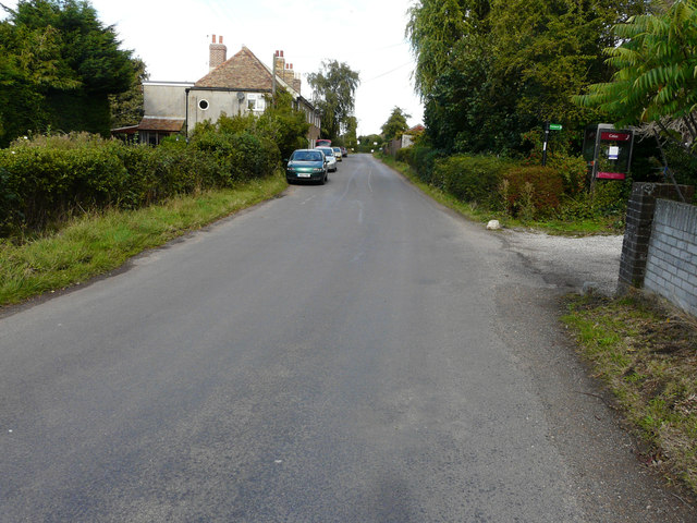
Goldstone is a small village located in the county of Kent, England. Situated in the Upper district of Kent, it is surrounded by picturesque countryside and rolling hills. The village is part of the larger civil parish of Pluckley, known for its historic charm and scenic beauty.
Goldstone is a quiet and peaceful village, with a population of around 200 residents. It is characterized by its quaint, traditional architecture, with many buildings dating back several centuries. The village is centered around a charming village green, which serves as a focal point for community gatherings and events.
One of the notable landmarks in Goldstone is the St. Mary's Church, a beautiful medieval church that stands as a testament to the village's long history. The church features stunning stained glass windows and an intricately carved wooden pulpit, attracting visitors who appreciate historical and architectural wonders.
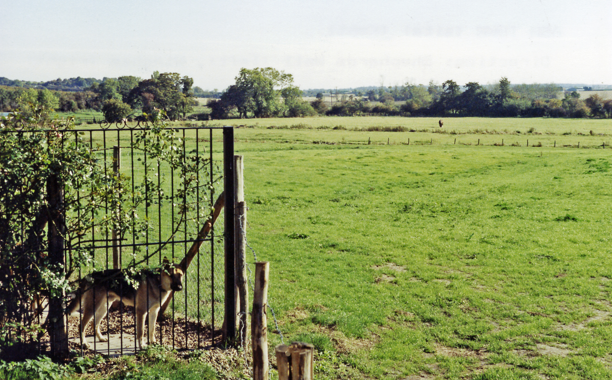
Despite its small size, Goldstone offers a close-knit community atmosphere, with various social activities and clubs that bring residents together. The village also benefits from its proximity to the surrounding natural beauty, providing ample opportunities for outdoor pursuits such as walking, cycling, and birdwatching.
While Goldstone may be a peaceful retreat away from the hustle and bustle of larger towns, it is conveniently located near amenities and transport links. The nearby town of Ashford offers a range of shops, schools, and healthcare facilities, ensuring that residents have easy access to essential services.
Overall, Goldstone is a hidden gem in the heart of Kent, offering a tranquil and idyllic setting for those seeking a peaceful village lifestyle surrounded by natural beauty.
If you have any feedback on the listing, please let us know in the comments section below.
Goldstone, Upper Images
Images are sourced within 2km of 51.295566/1.287697 or Grid Reference TR2960. Thanks to Geograph Open Source API. All images are credited.


Goldstone, Upper is located at Grid Ref: TR2960 (Lat: 51.295566, Lng: 1.287697)
Administrative County: Kent
District: Dover
Police Authority: Kent
What 3 Words
///outlooks.charm.glove. Near Ash, Kent
Nearby Locations
Related Wikis

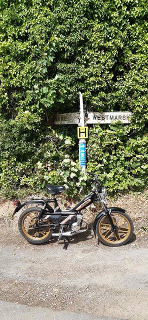
Ware, Kent
Ware is a village situated between Canterbury and Ramsgate in Kent, England. The population of the village is included in the civil parish of Ash ��2...

Westmarsh
Westmarsh is a village in the Ash civil parish of East Kent, England. It is situated 8 miles (13 km) east of Canterbury and 7 miles (11 km) west of Ramsgate...

Ash, Dover District
Ash is a village and civil parish in the Dover district of east Kent about three miles west of Sandwich. The civil parish has a population of 2,767, increasing...

Richborough
Richborough () is a settlement north of Sandwich on the east coast of the county of Kent, England. Richborough lies close to the Isle of Thanet. The population...
Ash Town railway station
Ash Town railway station was a railway station on the East Kent Light Railway. The station served the village of Ash. == History == Opened by the East...
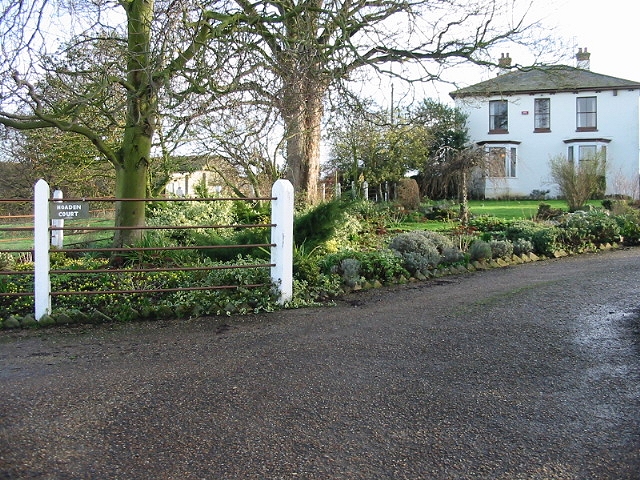
Hoaden
Hoaden is a hamlet situated one mile (1.6 km) to the east of Elmstone, Kent, England. Within the hamlet is Hoaden Court. == External links == Media related...
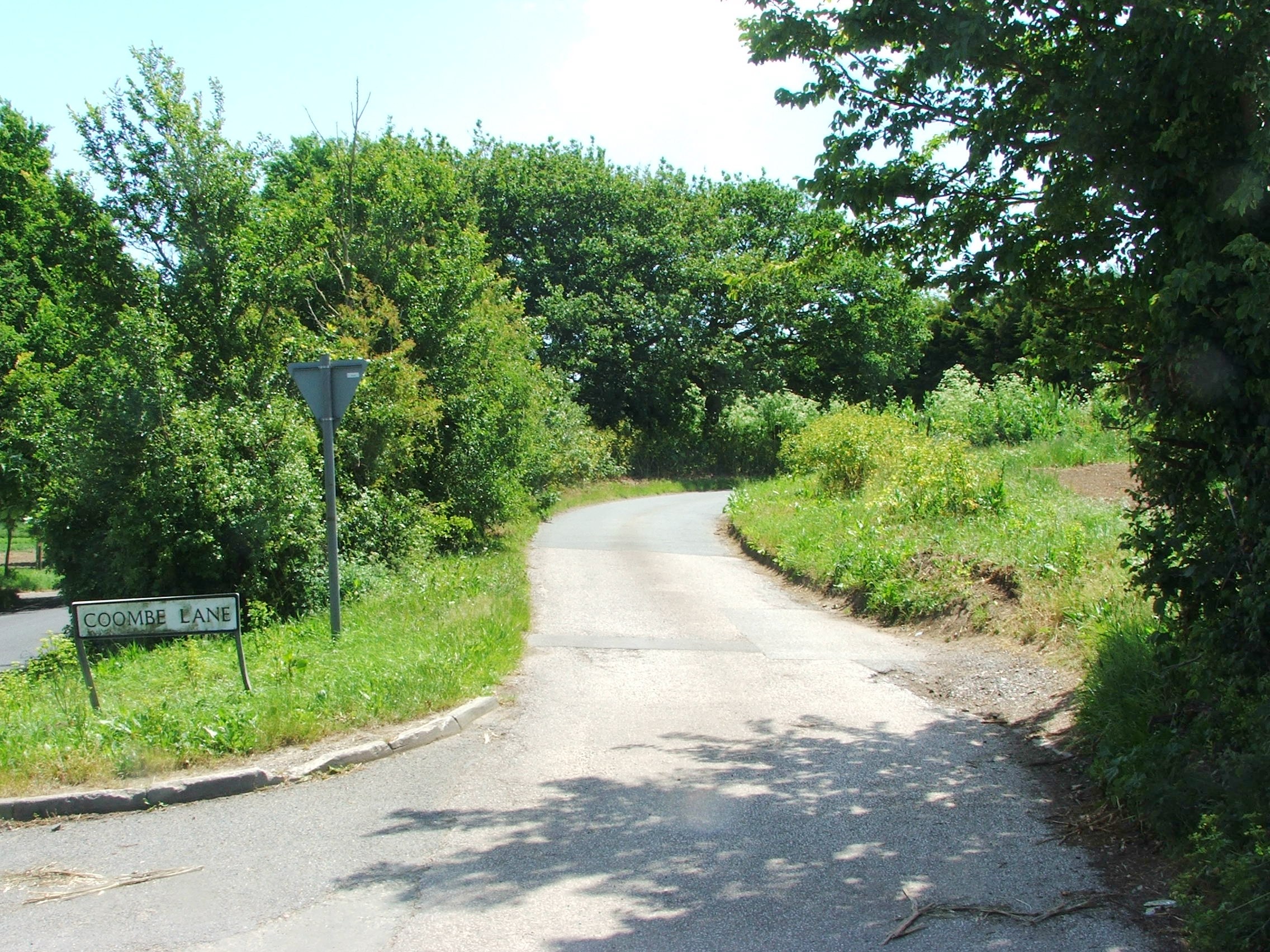
Coombe, Kent
Coombe is a settlement in the English county of Kent. It lies between Ash-next-Sandwich and Woodnesborough. According to Edward Hasted in 1800, it was...
Sandwich Road railway station
Sandwich Road railway station was a railway station on the East Kent Light Railway. It opened in May 1925 and closed to passenger traffic on 1 November...
Nearby Amenities
Located within 500m of 51.295566,1.287697Have you been to Goldstone, Upper?
Leave your review of Goldstone, Upper below (or comments, questions and feedback).