Arlingham

Civil Parish in Gloucestershire Stroud

England

Arlingham

On the Severn Way looking northwest by River Severn near Overton Farm, Arlingham
On the Severn Way looking northwest by River Severn near Overton Farm, Arlingham Credit: Colin Park

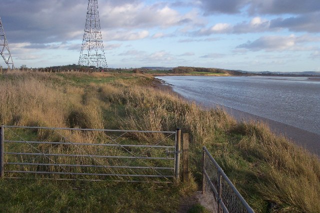
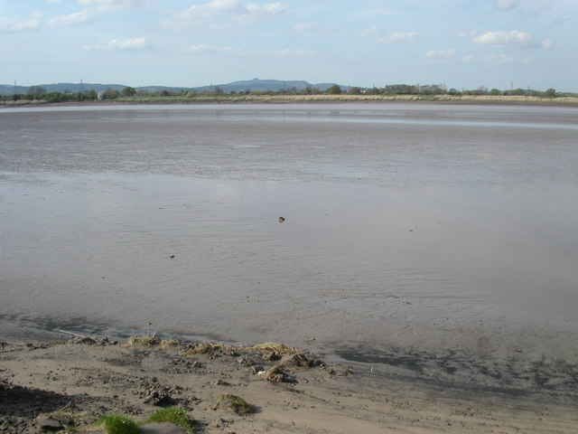
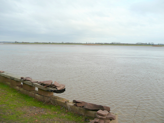
Arlingham is a civil parish located in the county of Gloucestershire, England. Situated on the eastern bank of the River Severn, it is surrounded by picturesque countryside, offering stunning views and a peaceful atmosphere. The village is situated approximately 9 miles southwest of the city of Gloucester.

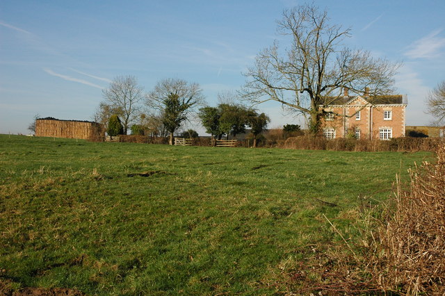
The parish covers an area of about 1,500 acres and is home to a population of around 600 residents. The village itself is relatively small, with a charming mix of traditional stone cottages and more modern houses. The parish also includes the hamlet of Overton, located a short distance to the north.

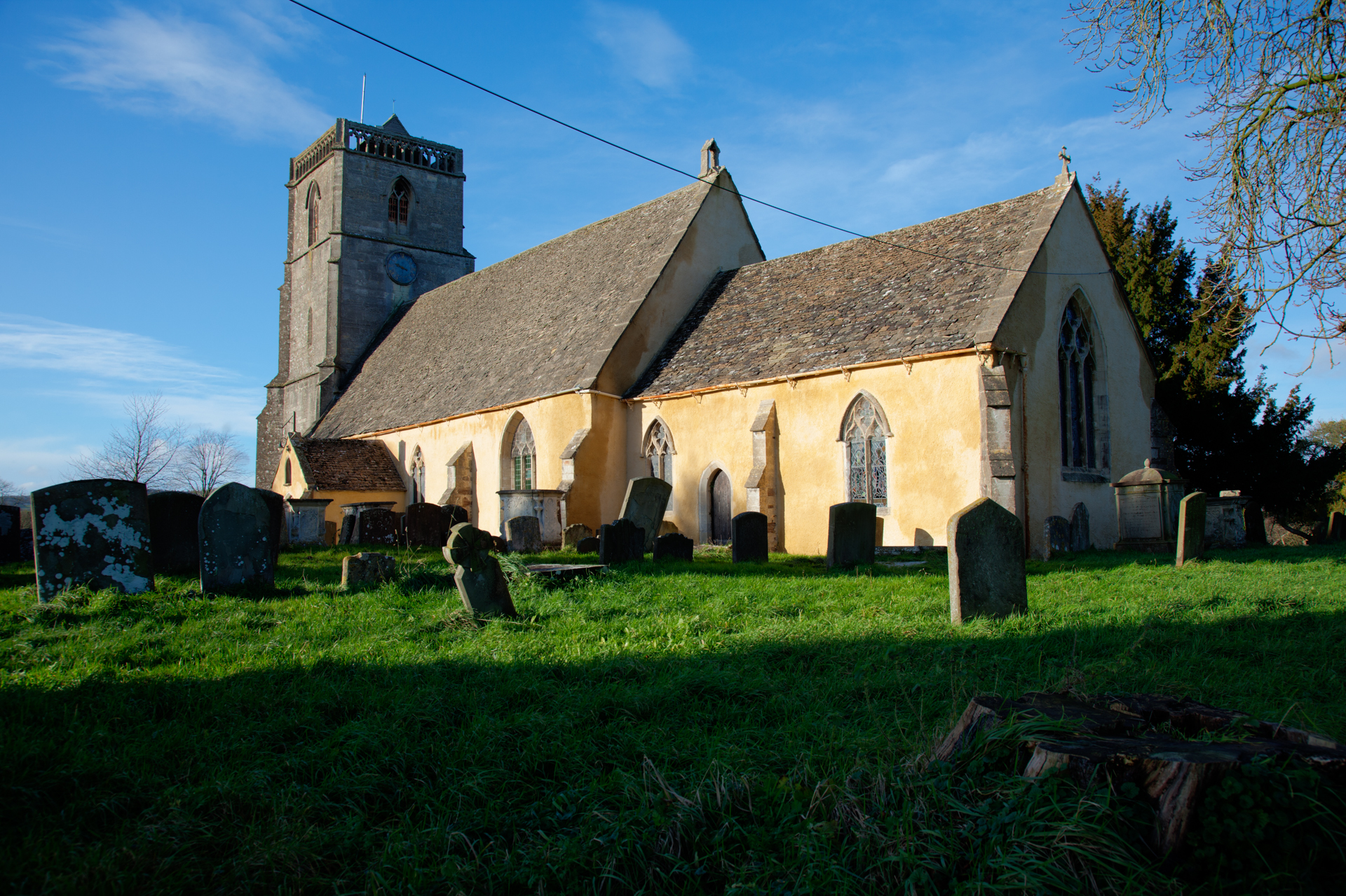
Arlingham is known for its rich history, with evidence of settlement dating back to the Roman period. The village features several historic buildings, including the Grade I listed Church of St. Mary the Virgin, which dates back to the 13th century and offers visitors a glimpse into the area's past.

The village benefits from a strong sense of community, with various local groups and organizations catering to the needs and interests of its residents. Amenities in Arlingham include a primary school, village hall, and a pub, providing essential services and opportunities for socializing.

The surrounding countryside provides ample opportunities for outdoor activities, with scenic walking routes and cycling paths. The River Severn also offers opportunities for boating and fishing, making Arlingham an attractive destination for those seeking a peaceful and idyllic lifestyle.

If you have any feedback on the listing, please let us know in the comments section below.
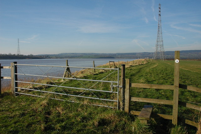
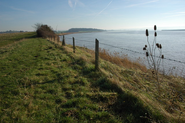
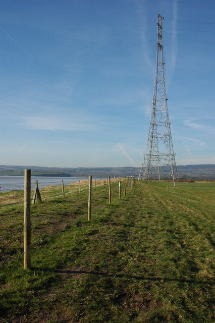
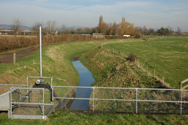
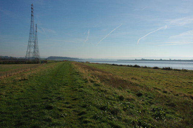
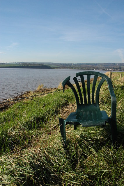
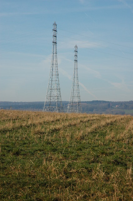
Arlingham Images

Images are sourced within 2km of 51.79626/-2.417719 or Grid Reference SO7110. Thanks to Geograph Open Source API. All images are credited.

On the Severn Way looking northwest by River Severn near Overton Farm, Arlingham
On the Severn Way west of Longmarsh Rhyne, Arlingham
Tall pylon on north bank of River Severn near Hope Pill, Arlingham
On the Severn Way west of Hope Pill, Arlingham
Old plough on Severn Way, northeast of Lower Milton End, Arlingham
On the Severn Way looking northwest near The Lake, north of Overton
Pylons near Arlingham The pylons carry electricity across the River Severn. The Severn Way walk continues around the river edge to Hock Cliff, made from Lower Jurassic rocks.
Pylons near Arlingham
The pylons carry electricity across the River Severn. The Severn Way walk continues around the river edge to Hock Cliff, made from Lower Jurassic rocks.
River Severn The river Severn has nearly completed its journey around the large horseshoe bend by Newnham. From here it starts to open up into the Noose. A large tidal area of mud and sand. The tide is on its way out uncovering the dangerous sand banks. On the horizon is May hill.
River Severn
The river Severn has nearly completed its journey around the large horseshoe bend by Newnham. From here it starts to open up into the Noose. A large tidal area of mud and sand. The tide is on its way out uncovering the dangerous sand banks. On the horizon is May hill.
Electric pylons by the river Severn These very high pylons are used to span the river Severn with power grid  cables. In the background centre stands Arlingham church and behind the church on the horizon is May Hill.
Electric pylons by the river Severn
These very high pylons are used to span the river Severn with power grid cables. In the background centre stands Arlingham church and behind the church on the horizon is May Hill.
Overton Farm, Fretherne Attractive red brick farmhouse in Fretherne.
Overton Farm, Fretherne
Attractive red brick farmhouse in Fretherne.
Stile on the Severn Way, near Arlingham With the tide in the River Severn is very wide where it negotiates the large horseshoe opposite Newnham. Due to the river's width taller pylons are used to carry power cables across the river.
Stile on the Severn Way, near Arlingham
With the tide in the River Severn is very wide where it negotiates the large horseshoe opposite Newnham. Due to the river's width taller pylons are used to carry power cables across the river.
The River Severn near Arlingham View downstream from the bank of the River Severn to the south of Arlingham. The Cotswolds can be seen on the horizon.
The River Severn near Arlingham
View downstream from the bank of the River Severn to the south of Arlingham. The Cotswolds can be seen on the horizon.
Teasel on the banks of the River Severn Teasel on the banks of the River Severn near Arlingham.
Teasel on the banks of the River Severn
Teasel on the banks of the River Severn near Arlingham.
Pylons on the banks of the River Severn Tall electricity pylons carry the power cables over the River Severn to the south of Arlingham.
Pylons on the banks of the River Severn
Tall electricity pylons carry the power cables over the River Severn to the south of Arlingham.
Hope Pill, Arlingham Hope Pill drains into the River Severn to the south of the village of Arlingham.
Hope Pill, Arlingham
Hope Pill drains into the River Severn to the south of the village of Arlingham.
The River Severn at Arlingham Tall pylons carry electricity power cables across the width of the River Severn. The river here negotiates a large horseshoe bend, the view of the river is downstream and the Cotswolds can be seen on the horizon.
The River Severn at Arlingham
Tall pylons carry electricity power cables across the width of the River Severn. The river here negotiates a large horseshoe bend, the view of the river is downstream and the Cotswolds can be seen on the horizon.
Flotsam on the bank of the River Severn A plastic chair is caught on barbed wire on the bank of the River Severn to the south of Arlingham.
Flotsam on the bank of the River Severn
A plastic chair is caught on barbed wire on the bank of the River Severn to the south of Arlingham.
Pylons at Arlingham Tall pylons at Arlingham carry the power cables across the River Severn.
Pylons at Arlingham
Tall pylons at Arlingham carry the power cables across the River Severn.
Show me another place!

Arlingham is located at Grid Ref: SO7110 (Lat: 51.79626, Lng: -2.417719)

Administrative County: Gloucestershire

District: Stroud

Police Authority: Gloucestershire

What 3 Words

///jeeps.shepherdess.custodian. Near Frampton on Severn, Gloucestershire

Related Wikis

Arlingham

Arlingham is a village and civil parish in the Stroud District of Gloucestershire, England. The 2021 Census recorded a parish population of 533 (271 males...

Westbury Shales

The Westbury Shales is a geologic formation in England. It preserves fossils of Holcoptera schlotheimi, Saurichthys acuminatus, Coleopteron sp. and Liassophlebia...

Garden Cliff

Garden Cliff (grid reference SO718128) is a 5.1-hectare (13-acre) geological Site of Special Scientific Interest in Gloucestershire, notified in 1954....

Severn tunnel (1810)

The Severn tunnel of 1810 was an unsuccessful plan for a tramroad tunnel beneath the River Severn. The tunnel was to cross the river at Arlingham Passage...

Wick Court, Arlingham

Wick Court, Arlingham, Gloucestershire, England is a country house constructed between the late 14th and the mid-17th centuries. Now a base for the charity...

Newnham on Severn

Newnham or Newnham on Severn is a village in west Gloucestershire, England. It lies in the Royal Forest of Dean, on the west bank of the River Severn,...
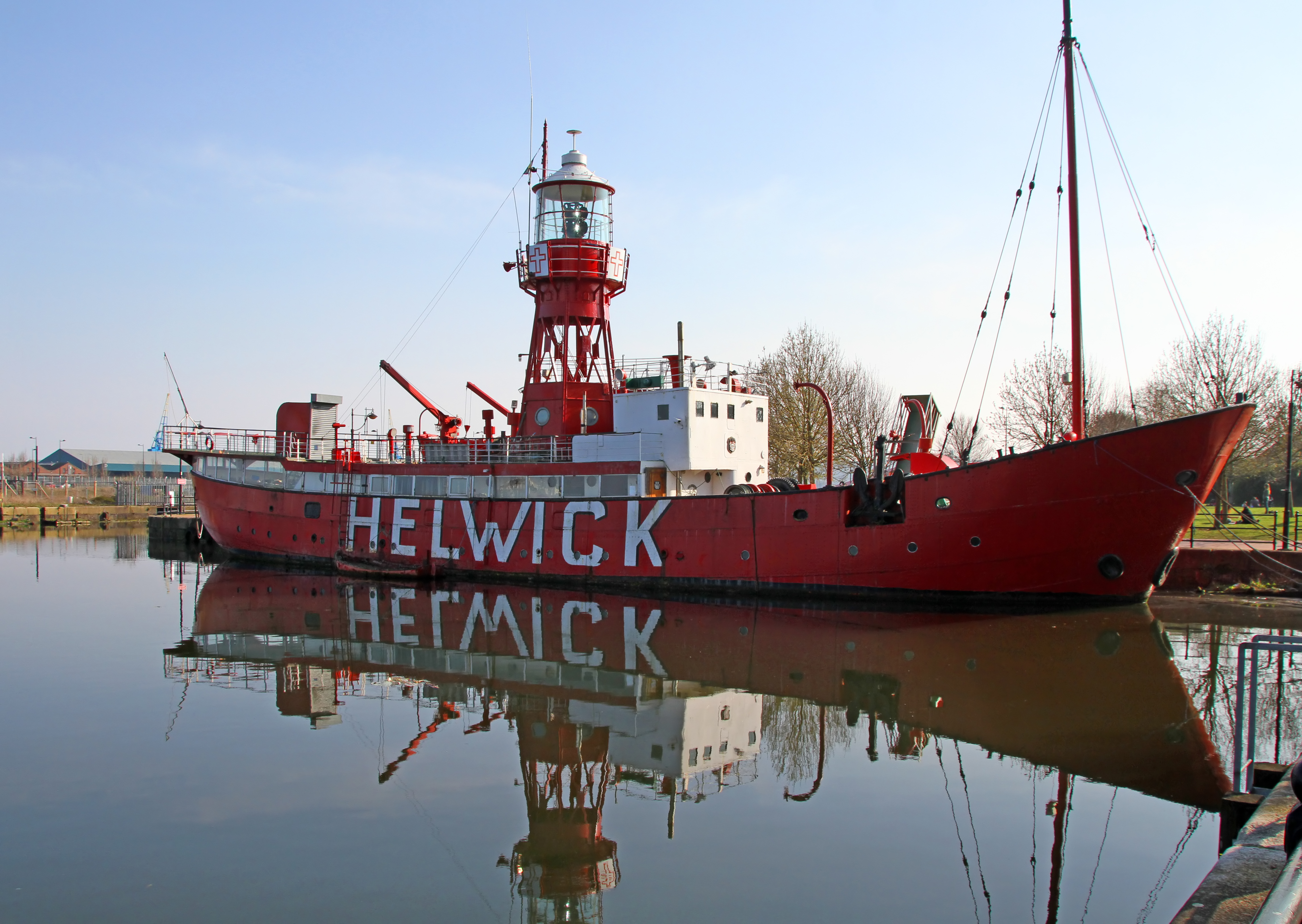
Lightship 2000

Lightship 2000 (Welsh: Goleulong 2000) was a restored old red lightvessel with a cafe and chapel on board situated in Cardiff Bay. During the redevelopment...

Ruddle Road Halt railway station

Ruddle Road Halt railway station was a minor station on the Gloucester-Newport Railway on the outskirts of Newnham, Gloucestershire. It was also the start...

Nearby Amenities

Located within 500m of 51.79626,-2.417719
Arlingham
Is In: Gloucestershire, England, UK
Place: village
Postal Code: GL2 7
Lat/Long: 51.7966226/-2.4239977
Power: tower
Source: Bing
Lat/Long: 51.7931896/-2.4139785
Power: tower
Source: Bing
Lat/Long: 51.7921142/-2.4167097
Pub
The Red Lion
Addr Housename: The Red Lion
Addr Postcode: GL2 7JN
Addr Street: High Street
Addr Village: Arlingham
Contact Facebook: https://www.facebook.com/theredlionarlingham
Email: info@redlionarlingham.co.uk
Fhrs Id: 1369125
Opening Hours: Mo off; Tu,We 17:00-23:00; Th 12:00-15:00,17:00-23:00; Fr,Sa 12:00-23:30; Su 12:00-22:30
Phone: +44 1452 740 700
Source Addr: FHRS Open Data
Website: https://www.redlionarlingham.co.uk/
Wikidata: Q26624891
Lat/Long: 51.7963759/-2.42438
Post Office
Arlingham Post Office
Addr City: Gloucester
Addr Country: GB
Addr Postcode: GL2 7JN
Addr Street: High Street
Addr Village: Arlingham
Brand: Post Office
Brand Wikidata: Q1783168
Ele: -1.5563965
Opening Hours: Mo-Th 09:00-12:00
Ref Pol Id: 2979
Website: https://www.postoffice.co.uk/branch-finder/1525239/arlingham
Lat/Long: 51.7965617/-2.4246204
Description: Map board
Ele: -0.5950928
Tourism: information
Lat/Long: 51.7963971/-2.4245431
Bus Stop
Ele: -1.7966309
Ref: GL146
Lat/Long: 51.7962379/-2.4248607
Bus Stop
Arlingham Crossroads
Naptan AtcoCode: 1600GL146
Naptan Bearing: SW
Naptan CommonName: Arlingham Crossroads
Naptan NaptanCode: gloampap
Naptan Street: Church Road
Naptan Verified: no
Source: naptan_import
Lat/Long: 51.7962247/-2.4246991
Bus Stop
Lower Milton End Turn
Naptan AtcoCode: 1600GLS995
Naptan Bearing: NW
Naptan CommonName: Lower Milton End Turn
Naptan Indicator: Opp
Naptan NaptanCode: gloampta
Naptan Street: Arlingham Rd
Naptan Verified: no
Source: naptan_import
Lat/Long: 51.794783/-2.4129403
Bus Stop
Lower Milton End Turn
Naptan AtcoCode: 1600GLS996
Naptan Bearing: SE
Naptan CommonName: Lower Milton End Turn
Naptan NaptanCode: gloamptd
Naptan Street: Arlingham Rd
Naptan Verified: no
Source: naptan_import
Lat/Long: 51.7948641/-2.4128975
Lower Milton End
Place: hamlet
Lat/Long: 51.7970257/-2.4109736
Post Box
Collection Times: Mo-Fr 16:30; Sa 10:15; Su off
Drive Through: no
Operator: Royal Mail
Operator Wikidata: Q638098
Post Box Type: lamp
Ref: GL2 39
Royal Cypher: EIIR
Royal Cypher Wikidata: Q33102113
Source: survey
Lat/Long: 51.7963009/-2.4238486
Give Way
Direction: forward
Lat/Long: 51.7967991/-2.4244326
Give Way
Direction: backward
Lat/Long: 51.7962113/-2.4236805
Give Way
Direction: forward
Lat/Long: 51.7962822/-2.4245631
Give Way
Direction: backward
Lat/Long: 51.7963482/-2.4245567
Give Way
Direction: forward
Lat/Long: 51.7962108/-2.4232149
Defibrillator
Access: yes
Addr Postcode: GL2 7JN
Defibrillator Location: On the west exterior wall of The Red Lion
Emergency: defibrillator
Indoor: no
Operator: NHS South Western Ambulance Service
Ref: GCO564
Ref GB The Circuit: B51F57EB-25B4-4E38-8078-B07800C4A722
Lat/Long: 51.7964073/-2.4244494
The data included in this document is from www.openstreetmap.org. The data is made available under ODbL.

Have you been to Arlingham?

Leave your review of Arlingham below (or comments, questions and feedback).