Arlington
Civil Parish in Devon North Devon
England
Arlington

Arlington is a civil parish located in the county of Devon, England. Situated within the district of North Devon, Arlington is a small and picturesque village surrounded by the stunning countryside of the South West. The parish covers an area of approximately 5 square kilometers and has a population of around 300 residents.
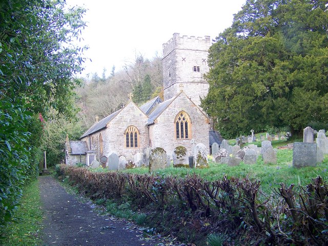
The village of Arlington is known for its historic charm and rural beauty. It is home to several listed buildings, including the Grade II* listed Arlington Court, a magnificent mansion built in the Regency style. The estate also features stunning gardens, woodlands, and a carriage museum, attracting visitors from near and far.
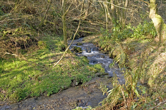
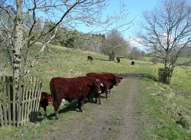
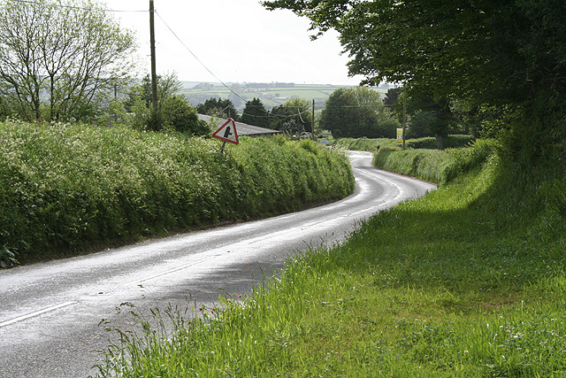
The parish of Arlington is characterized by its rolling hills, farmland, and woodlands. It offers a tranquil and idyllic setting, making it a popular destination for nature lovers and outdoor enthusiasts. The area is crisscrossed by footpaths and bridleways, providing ample opportunities for walking, hiking, and horse riding.
In addition to its natural beauty, Arlington is also a vibrant community with a range of amenities and facilities. The village has a local pub, The Arlington Arms, which serves as a social hub for residents and visitors alike. There is also a village hall that hosts various events and gatherings throughout the year.
Overall, Arlington, Devon, offers a peaceful and scenic escape from the hustle and bustle of city life. With its rich history, stunning landscapes, and strong sense of community, it is a truly special place to visit or call home.
If you have any feedback on the listing, please let us know in the comments section below.
Arlington Images
Images are sourced within 2km of 51.14986/-3.966798 or Grid Reference SS6240. Thanks to Geograph Open Source API. All images are credited.


Arlington is located at Grid Ref: SS6240 (Lat: 51.14986, Lng: -3.966798)
Administrative County: Devon
District: North Devon
Police Authority: Devon & Cornwall
What 3 Words
///guides.arrives.cleanser. Near Combe Martin, Devon
Nearby Locations
Related Wikis

Arlington, Devon
Arlington was a manor, and is a village and civil parish in the North Devon district of Devon in England. The parish includes the villages of Arlington...
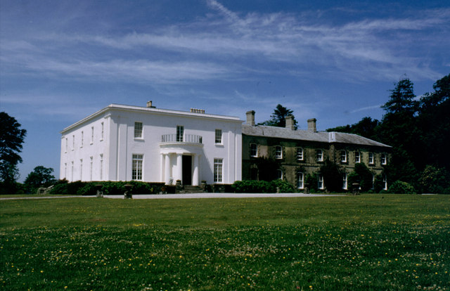
Arlington Court
Arlington Court is a neoclassical style country house built 1820–23, situated in the parish of Arlington, next to the parish church of St James, 5+1⁄4...

Wistlandpound Reservoir
Wistlandpound Reservoir is a reservoir in Devon, England owned by South West Water. Completed in 1957, the earth embankment reservoir holds up to 1,550...

Manor of Loxhore
The Manor of Loxhore was a manor in the parish of Loxhore, North Devon, England. == Descent of the manor == === de Meulles === In the Domesday Book of 1086...
East Down, Devon
East Down is a village and civil parish in the Barnstaple district of Devon, England. It includes the hamlets of Churchill, Shortacombe, Brockham and Clifton...
Smythapark
Smythapark is the site of an Iron Age hill fort, situated close to the village of Bratton Fleming in Devon, England. The site is on a hillside forming...

Bratton Fleming railway station
Bratton Fleming railway station is a former station on the Lynton and Barnstaple Railway in England, a narrow gauge line that ran through Exmoor from Barnstaple...

Blackmoor Gate
Blackmoor Gate, the western gateway to Exmoor National Park, sits on the watershed between tributaries of the rivers Yeo and Heddon nearly 305 m (1000...
Have you been to Arlington?
Leave your review of Arlington below (or comments, questions and feedback).