Arlingham

Settlement in Gloucestershire Stroud

England

Arlingham

Pylons near Arlingham The pylons carry electricity across the River Severn. The Severn Way walk continues around the river edge to Hock Cliff, made from Lower Jurassic rocks.
Pylons near Arlingham Credit: Peter Kwan

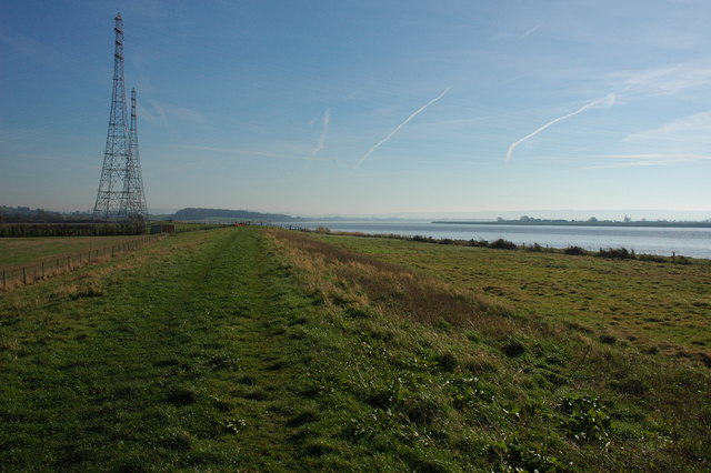
Arlingham is a small village located in Gloucestershire, England. Situated on the banks of the River Severn, it is roughly 12 miles southwest of the city of Gloucester. Arlingham falls within the Stroud district and is part of the South West England region.

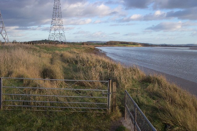
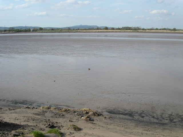
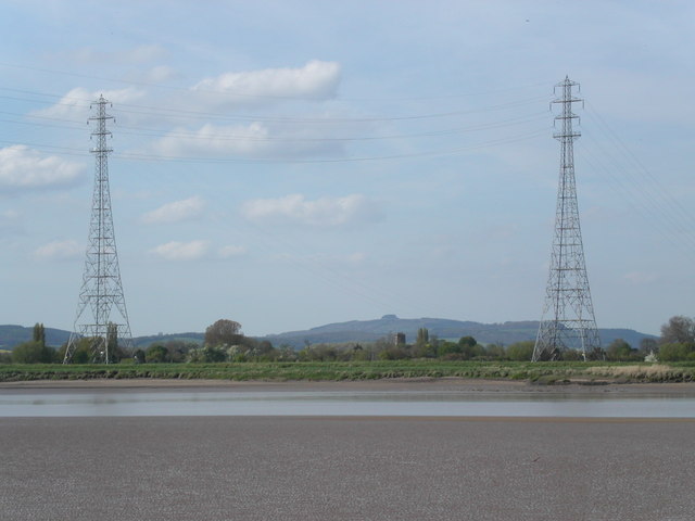
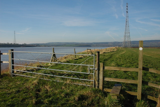
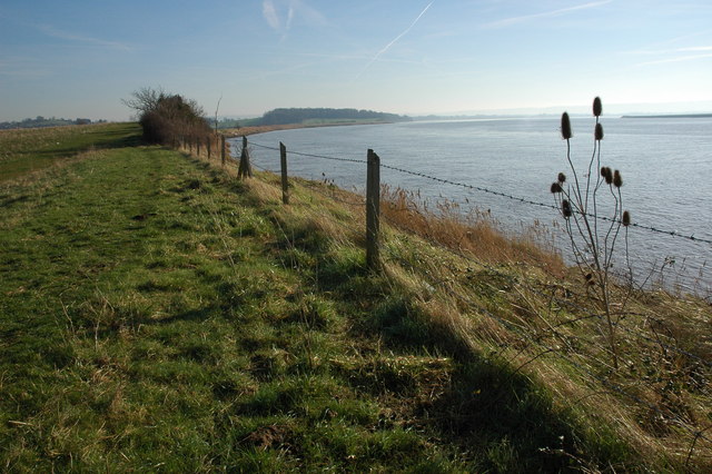
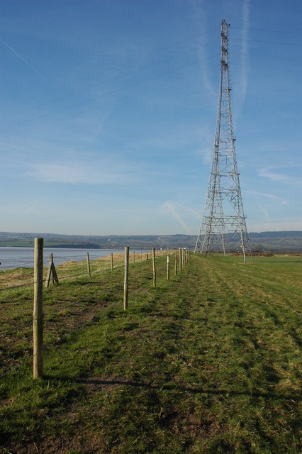
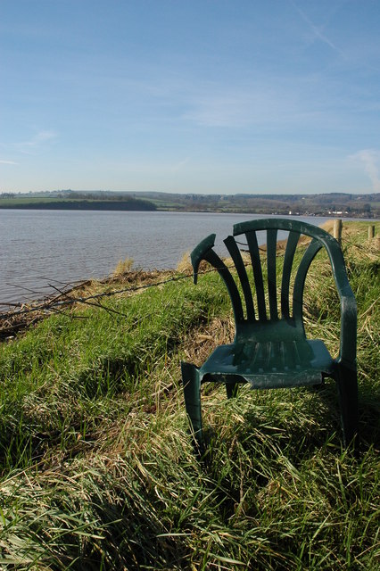
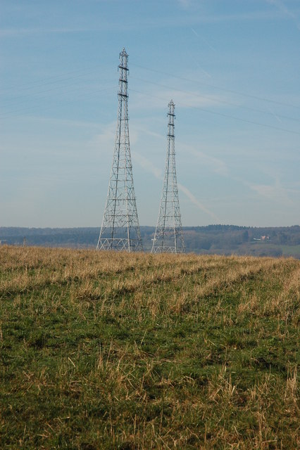
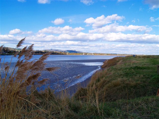
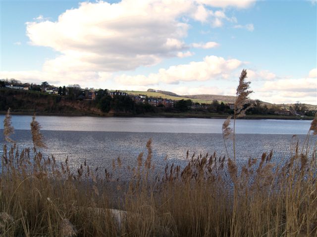
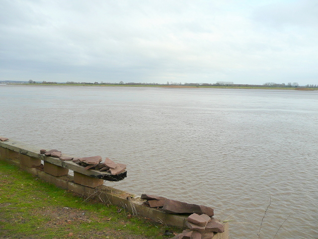
With its picturesque setting, Arlingham is known for its charming rural character. The village is surrounded by lush green fields and rolling hills, making it a popular destination for those seeking tranquility and natural beauty. The River Severn, one of the longest rivers in the United Kingdom, adds to the village's allure, providing opportunities for boating, fishing, and other water activities.

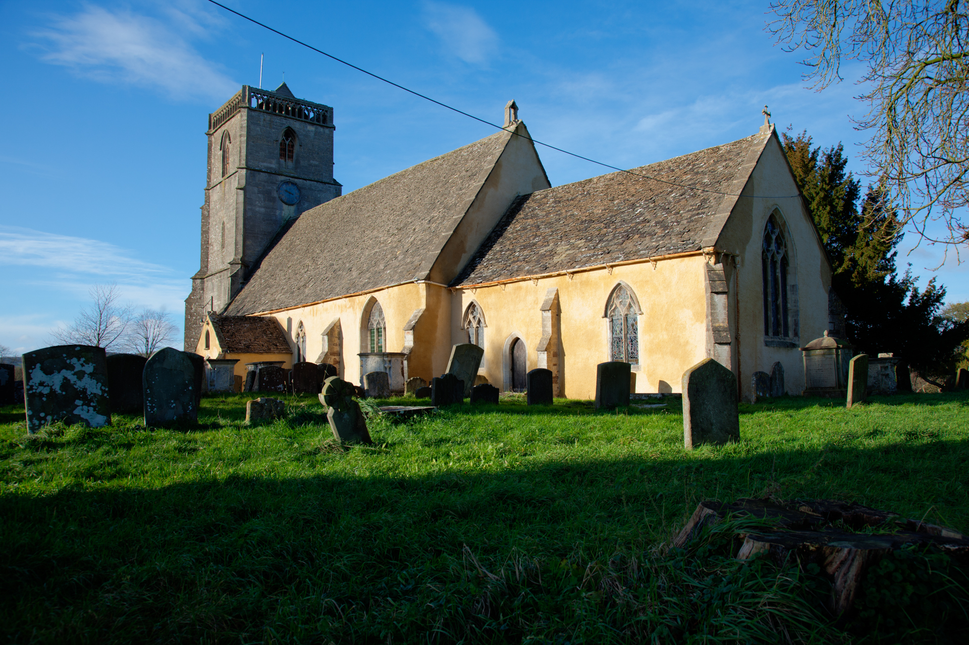
Arlingham boasts a rich history, dating back to the Roman era. Evidence of Roman occupation has been found in the vicinity, including coins and pottery fragments. The village also played a significant role during the medieval times as a prosperous trading port and was mentioned in the Domesday Book of 1086.

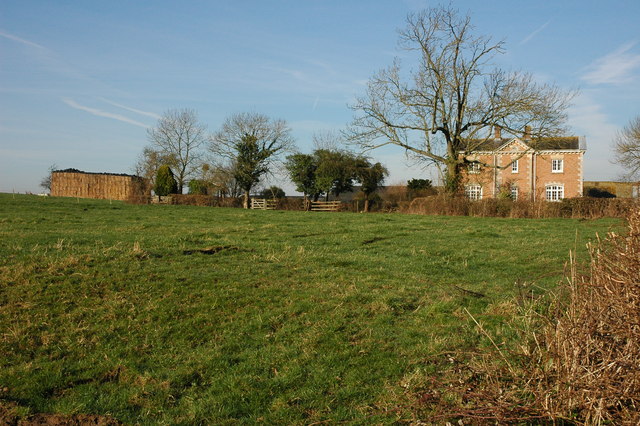
Today, Arlingham is a close-knit community with a population of approximately 600 residents. The village features a range of amenities, including a village hall, a primary school, and a local pub. The surrounding countryside offers ample opportunities for walking, cycling, and exploring the beautiful Gloucestershire landscape.

Overall, Arlingham is a hidden gem in Gloucestershire, offering a peaceful retreat from the hustle and bustle of city life, while still providing access to nearby urban centers and the natural wonders of the River Severn.

If you have any feedback on the listing, please let us know in the comments section below.

Arlingham Images

Images are sourced within 2km of 51.7949/-2.413269 or Grid Reference SO7110. Thanks to Geograph Open Source API. All images are credited.

Pylons near Arlingham The pylons carry electricity across the River Severn. The Severn Way walk continues around the river edge to Hock Cliff, made from Lower Jurassic rocks.
Pylons near Arlingham
The pylons carry electricity across the River Severn. The Severn Way walk continues around the river edge to Hock Cliff, made from Lower Jurassic rocks.
River Severn The river Severn has nearly completed its journey around the large horseshoe bend by Newnham. From here it starts to open up into the Noose. A large tidal area of mud and sand. The tide is on its way out uncovering the dangerous sand banks. On the horizon is May hill.
River Severn
The river Severn has nearly completed its journey around the large horseshoe bend by Newnham. From here it starts to open up into the Noose. A large tidal area of mud and sand. The tide is on its way out uncovering the dangerous sand banks. On the horizon is May hill.
Electric pylons by the river Severn These very high pylons are used to span the river Severn with power grid  cables. In the background centre stands Arlingham church and behind the church on the horizon is May Hill.
Electric pylons by the river Severn
These very high pylons are used to span the river Severn with power grid cables. In the background centre stands Arlingham church and behind the church on the horizon is May Hill.
Overton Farm, Fretherne Attractive red brick farmhouse in Fretherne.
Overton Farm, Fretherne
Attractive red brick farmhouse in Fretherne.
Stile on the Severn Way, near Arlingham With the tide in the River Severn is very wide where it negotiates the large horseshoe opposite Newnham. Due to the river's width taller pylons are used to carry power cables across the river.
Stile on the Severn Way, near Arlingham
With the tide in the River Severn is very wide where it negotiates the large horseshoe opposite Newnham. Due to the river's width taller pylons are used to carry power cables across the river.
The River Severn near Arlingham View downstream from the bank of the River Severn to the south of Arlingham. The Cotswolds can be seen on the horizon.
The River Severn near Arlingham
View downstream from the bank of the River Severn to the south of Arlingham. The Cotswolds can be seen on the horizon.
Teasel on the banks of the River Severn Teasel on the banks of the River Severn near Arlingham.
Teasel on the banks of the River Severn
Teasel on the banks of the River Severn near Arlingham.
Pylons on the banks of the River Severn Tall electricity pylons carry the power cables over the River Severn to the south of Arlingham.
Pylons on the banks of the River Severn
Tall electricity pylons carry the power cables over the River Severn to the south of Arlingham.
Hope Pill, Arlingham Hope Pill drains into the River Severn to the south of the village of Arlingham.
Hope Pill, Arlingham
Hope Pill drains into the River Severn to the south of the village of Arlingham.
The River Severn at Arlingham Tall pylons carry electricity power cables across the width of the River Severn. The river here negotiates a large horseshoe bend, the view of the river is downstream and the Cotswolds can be seen on the horizon.
The River Severn at Arlingham
Tall pylons carry electricity power cables across the width of the River Severn. The river here negotiates a large horseshoe bend, the view of the river is downstream and the Cotswolds can be seen on the horizon.
Flotsam on the bank of the River Severn A plastic chair is caught on barbed wire on the bank of the River Severn to the south of Arlingham.
Flotsam on the bank of the River Severn
A plastic chair is caught on barbed wire on the bank of the River Severn to the south of Arlingham.
Pylons at Arlingham Tall pylons at Arlingham carry the power cables across the River Severn.
Pylons at Arlingham
Tall pylons at Arlingham carry the power cables across the River Severn.
Hock Cliff
Hock Cliff
Over Hock Cliff <a href="https://www.geograph.org.uk/photo/113550">SO7209 : Hock Cliff</a> can be seen behind the wing; the house is "The Reddings". Beyond is the scattered settlement of Fretherne. The lane lies within the Arlingham bend; the Severn upstream can be seen in the background. Seen from a Stampe SV4C on a flight from Gloucestershire Airport.
Over Hock Cliff
SO7209 : Hock Cliff can be seen behind the wing; the house is "The Reddings". Beyond is the scattered settlement of Fretherne. The lane lies within the Arlingham bend; the Severn upstream can be seen in the background. Seen from a Stampe SV4C on a flight from Gloucestershire Airport.
River Severn
River Severn
River Severn
River Severn
No through road A footpath leads to the hamlet of Overton.
No through road
A footpath leads to the hamlet of Overton.
Silo and farm buildings Overton Farm.
Silo and farm buildings
Overton Farm.
Show me another place!

Arlingham is located at Grid Ref: SO7110 (Lat: 51.7949, Lng: -2.413269)

Administrative County: Gloucestershire

District: Stroud

Police Authority: Gloucestershire

What 3 Words

///basics.fictional.blame. Near Frampton on Severn, Gloucestershire

Related Wikis

Arlingham

Arlingham is a village and civil parish in the Stroud District of Gloucestershire, England. The 2021 Census recorded a parish population of 533 (271 males...

Westbury Shales

The Westbury Shales is a geologic formation in England. It preserves fossils of Holcoptera schlotheimi, Saurichthys acuminatus, Coleopteron sp. and Liassophlebia...

Wick Court, Arlingham

Wick Court, Arlingham, Gloucestershire, England is a country house constructed between the late 14th and the mid-17th centuries. Now a base for the charity...

Garden Cliff

Garden Cliff (grid reference SO718128) is a 5.1-hectare (13-acre) geological Site of Special Scientific Interest in Gloucestershire, notified in 1954....

Fretherne

Fretherne is a small village and former civil parish, now in the parish of Fretherne with Saul, in the Stroud district, in Gloucestershire, England, situated...

Severn tunnel (1810)

The Severn tunnel of 1810 was an unsuccessful plan for a tramroad tunnel beneath the River Severn. The tunnel was to cross the river at Arlingham Passage...

Fretherne Court

Fretherne Court was a handsome residential sporting mansion with picturesque grounds and deer park estate of some 676 acres, situated in the Severn Vale...

Priding

Priding is a hamlet in the civil parish of Arlingham, in the Stroud district, in the county of Gloucestershire, England. == References ==

Nearby Amenities

Located within 500m of 51.7949,-2.413269
Power: tower
Source: Bing
Lat/Long: 51.7960426/-2.4069625
Power: tower
Source: Bing
Lat/Long: 51.7931896/-2.4139785
Power: tower
Source: Bing
Lat/Long: 51.7921142/-2.4167097
Bus Stop
Lower Milton End Turn
Naptan AtcoCode: 1600GLS995
Naptan Bearing: NW
Naptan CommonName: Lower Milton End Turn
Naptan Indicator: Opp
Naptan NaptanCode: gloampta
Naptan Street: Arlingham Rd
Naptan Verified: no
Source: naptan_import
Lat/Long: 51.794783/-2.4129403
Bus Stop
Lower Milton End Turn
Naptan AtcoCode: 1600GLS996
Naptan Bearing: SE
Naptan CommonName: Lower Milton End Turn
Naptan NaptanCode: gloamptd
Naptan Street: Arlingham Rd
Naptan Verified: no
Source: naptan_import
Lat/Long: 51.7948641/-2.4128975
Bus Stop
Upper Milton End Turn
Naptan AtcoCode: 1600GLS997
Naptan Bearing: NW
Naptan CommonName: Upper Milton End Turn
Naptan Indicator: Opp
Naptan NaptanCode: gloamtdw
Naptan Street: Arlingham Rd
Naptan Verified: no
Source: naptan_import
Lat/Long: 51.7929314/-2.4076165
Bus Stop
Upper Milton End Turn
Naptan AtcoCode: 1600GLS998
Naptan Bearing: SE
Naptan CommonName: Upper Milton End Turn
Naptan NaptanCode: gloamtga
Naptan Street: Arlingham Rd
Naptan Verified: no
Source: naptan_import
Lat/Long: 51.7932721/-2.4079095
Upper Milton End
Place: hamlet
Lat/Long: 51.7944113/-2.4063173
Lower Milton End
Place: hamlet
Lat/Long: 51.7970257/-2.4109736
Power: tower
Source: Bing
Lat/Long: 51.7946941/-2.4102917
Give Way
Direction: backward
Lat/Long: 51.7932323/-2.4078123
Give Way
Direction: backward
Lat/Long: 51.7931593/-2.407697
Barrier: kissing_gate
Lat/Long: 51.7942469/-2.4069581
The data included in this document is from www.openstreetmap.org. The data is made available under ODbL.

Have you been to Arlingham?

Leave your review of Arlingham below (or comments, questions and feedback).