Arlesey
Civil Parish in Bedfordshire
England
Arlesey
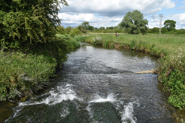
Arlesey is a civil parish located in the county of Bedfordshire, England. Situated on the River Hiz, it is approximately seven miles north of Hitchin and three miles south of Biggleswade. The parish covers an area of around 800 hectares and has a population of approximately 5,000 people.
Arlesey has a rich history that dates back to the Roman era, with evidence of Roman settlements and artifacts found in the area. The village grew as an agricultural community and later became known for its brickmaking industry in the 19th century.
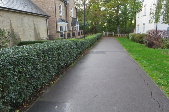
Today, Arlesey is a thriving village with a mix of residential and commercial areas. It offers a range of amenities and services, including shops, pubs, restaurants, and a primary school. The village also has several parks and green spaces, providing recreational opportunities for residents and visitors.
Transportation is well-served in Arlesey, with a train station that provides direct links to London, Peterborough, and Cambridge. The village is conveniently located near major roadways, including the A1(M), which connects to London and the North.
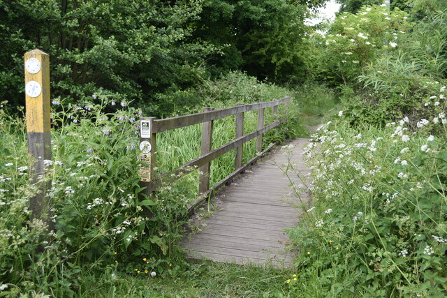
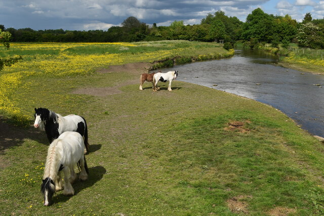
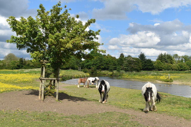
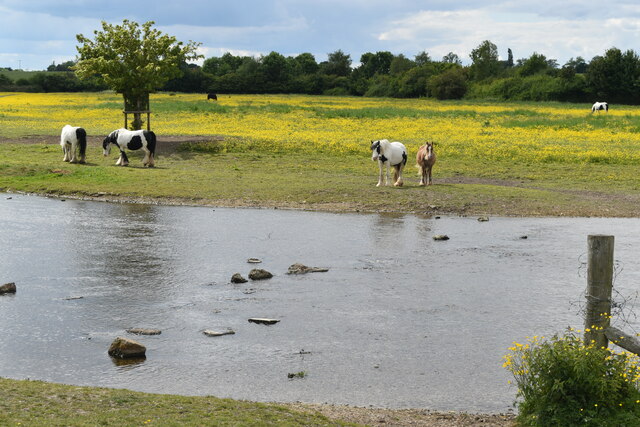
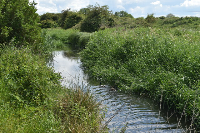
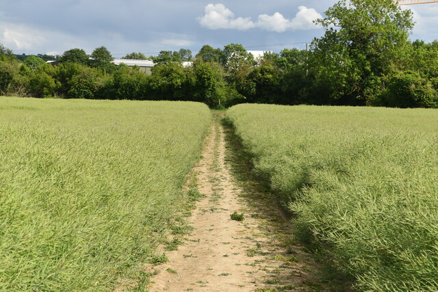
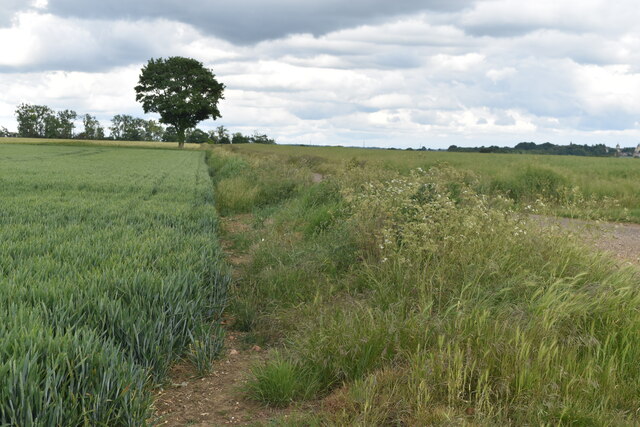
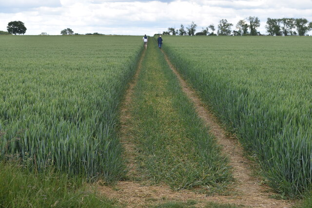
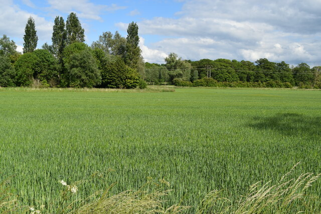
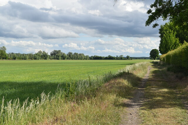
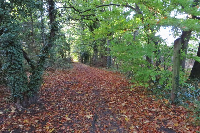
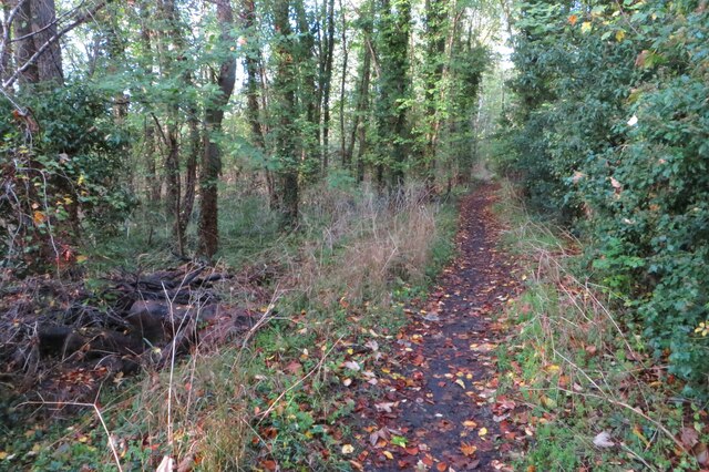
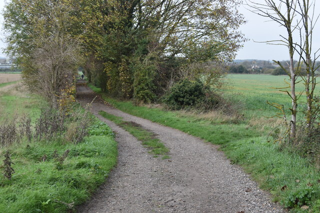
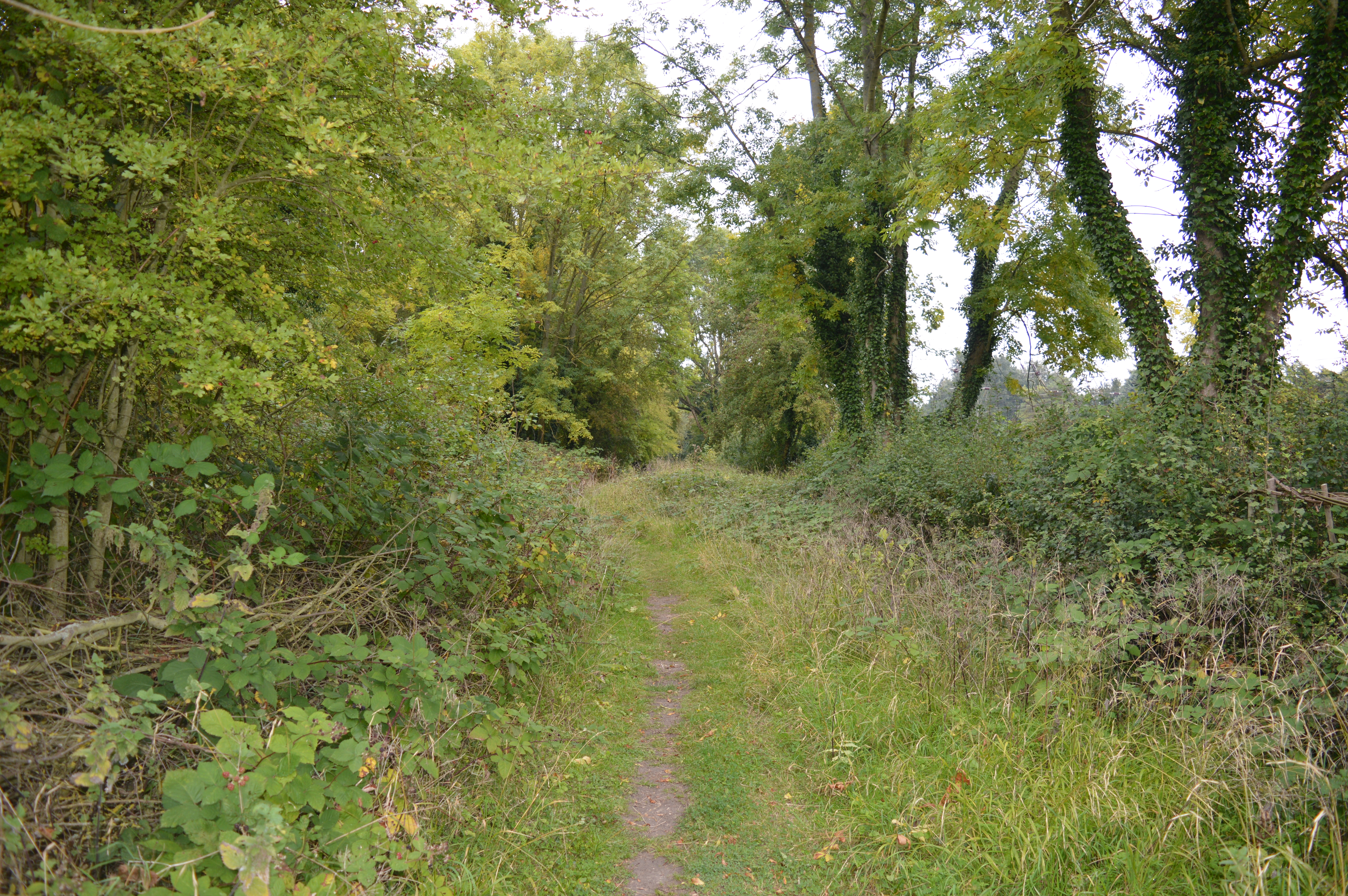
Arlesey is surrounded by picturesque countryside, offering opportunities for outdoor activities such as walking, cycling, and fishing. The nearby Ivel Springs Nature Reserve is a popular destination for wildlife enthusiasts and nature lovers.
Overall, Arlesey is a charming village with a rich history, modern amenities, and easy access to surrounding areas. It provides a tranquil and idyllic setting for residents and visitors to enjoy.
If you have any feedback on the listing, please let us know in the comments section below.
Arlesey Images
Images are sourced within 2km of 52.007594/-0.261095 or Grid Reference TL1935. Thanks to Geograph Open Source API. All images are credited.
Arlesey is located at Grid Ref: TL1935 (Lat: 52.007594, Lng: -0.261095)
Unitary Authority: Central Bedfordshire
Police Authority: Bedfordshire
What 3 Words
///lookout.magazines.waking. Near Arlesey, Bedfordshire
Related Wikis

Arlesey
Arlesey ( ARL-zee) is a town and civil parish in the Central Bedfordshire district of Bedfordshire, England. It is near the border with Hertfordshire,...
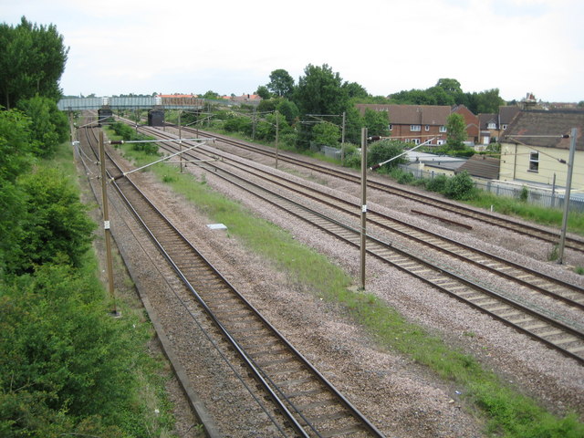
Three Counties railway station
Three Counties railway station is a disused railway station near Arlesey in Bedfordshire, England. It served the southern environs of Arlesey. These included...

Baldock Town F.C.
Baldock Town Football Club is a football club based in Baldock, Hertfordshire, England. Having originally been established in 1905, the current version...
Arlesey Town F.C.
Arlesey Town Football Club is a football club based in Arlesey, Bedfordshire, England. Affiliated to the Bedfordshire County Football Association, they...

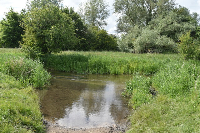
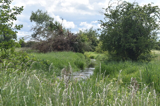
River Hiz
The River Hiz is a small (10 miles (16 km)) tributary river in Hertfordshire that feeds the River Ivel that, in turn, feeds the River Great Ouse. Starting...
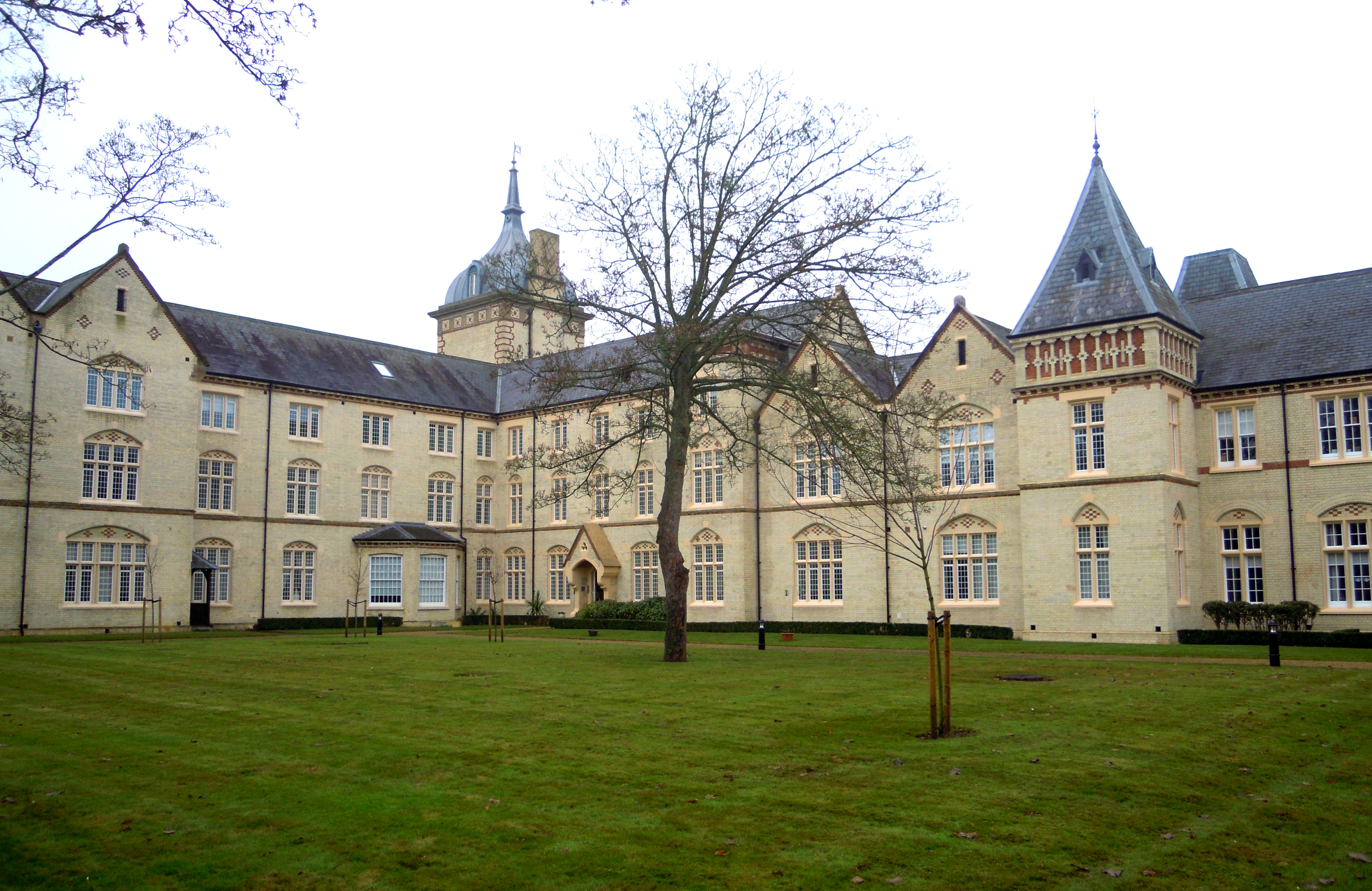
Fairfield Hospital, Bedfordshire
Fairfield Hospital in Fairfield, Bedfordshire, England was a psychiatric hospital from 1860 to 1999. It is a Grade II listed building. == History == Construction...

Fairfield, Bedfordshire
Fairfield (originally known as Fairfield Park) is a village and civil parish located in the Central Bedfordshire district of Bedfordshire, England. �...
Arlesey Old Moat and Glebe Meadows
Arlesey Old Moat and Glebe Meadows is a 4.3 hectare nature reserve west of Arlesey in Bedfordshire. It is managed by the Wildlife Trust for Bedfordshire...
Nearby Amenities
Located within 500m of 52.007594,-0.261095Have you been to Arlesey?
Leave your review of Arlesey below (or comments, questions and feedback).