Arlecdon and Frizington

Civil Parish in Cumberland Copeland

England

Arlecdon and Frizington

Houses in Cleator Moor Complete with a large Union Jack.
Houses in Cleator Moor Credit: David Medcalf

Arlecdon and Frizington is a civil parish located in the county of Cumberland, in the northwest of England. It is situated in the Copeland district of Cumbria, approximately 5 miles northeast of Whitehaven.

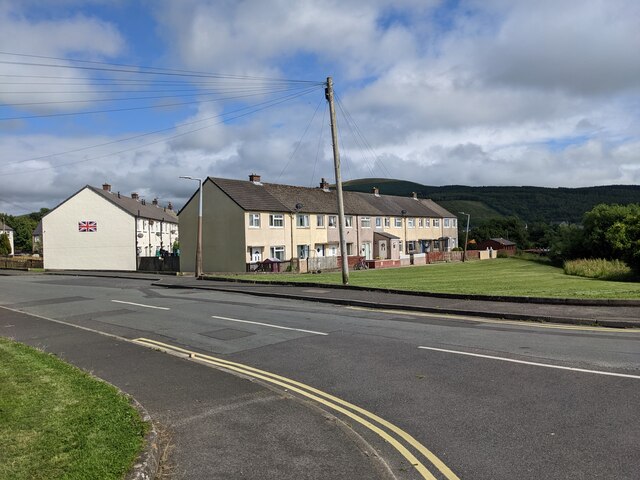
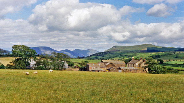
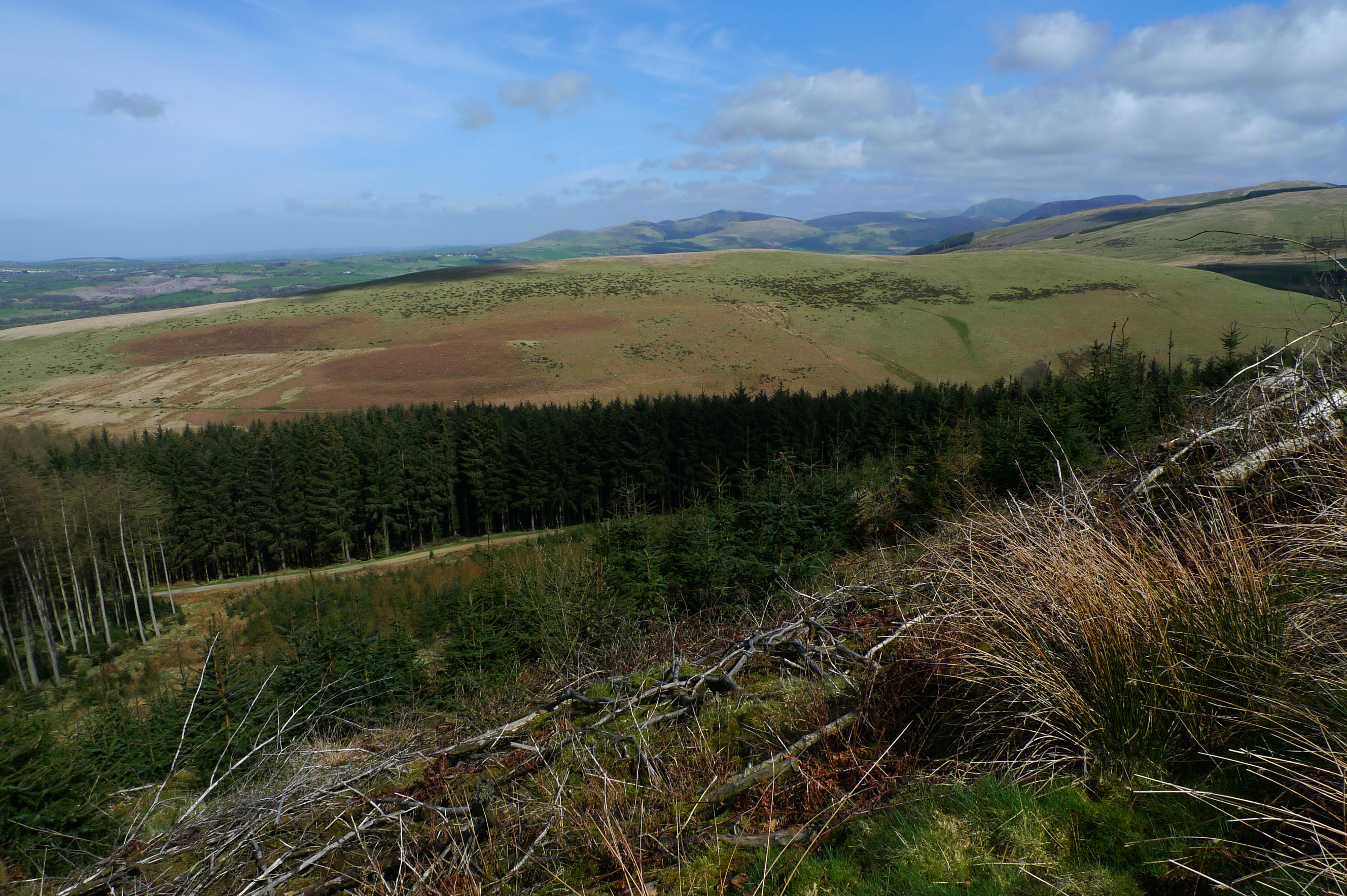
The parish is made up of two adjacent villages, Arlecdon and Frizington, which are situated in the northern part of the Western Lake District and surrounded by scenic countryside. The villages are historically known for their mining industry, particularly coal mining, which was a significant source of employment in the area during the 19th and 20th centuries.

Today, Arlecdon and Frizington are largely residential areas, with a mix of traditional and modern housing. The communities are home to a number of local amenities, including shops, pubs, and schools. The area also benefits from good transportation links, with easy access to the nearby towns of Whitehaven and Workington.

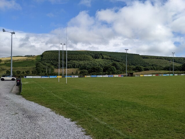
The parish is surrounded by natural beauty, with the stunning landscapes of the Lake District National Park just a short distance away. This makes it a popular destination for outdoor enthusiasts, who can enjoy hiking, cycling, and exploring the surrounding countryside.

Overall, Arlecdon and Frizington is a peaceful and picturesque civil parish, offering residents a rural lifestyle with convenient access to amenities and the stunning natural landscapes of the Lake District.

If you have any feedback on the listing, please let us know in the comments section below.

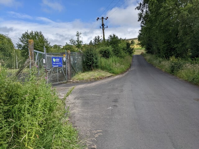
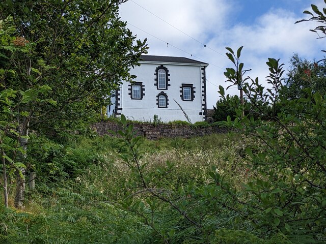
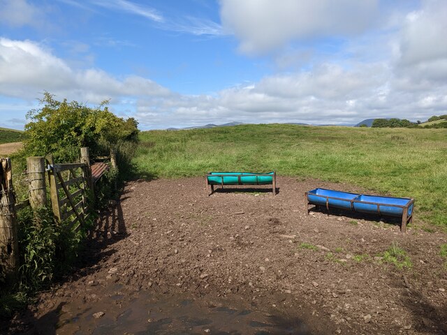
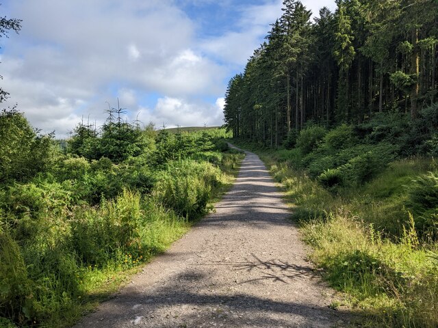
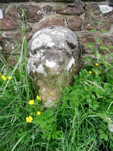
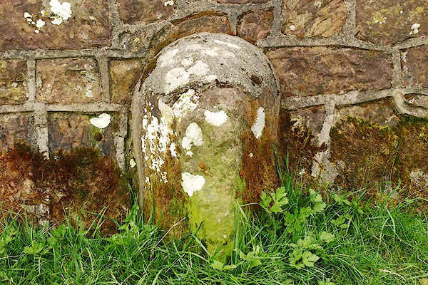
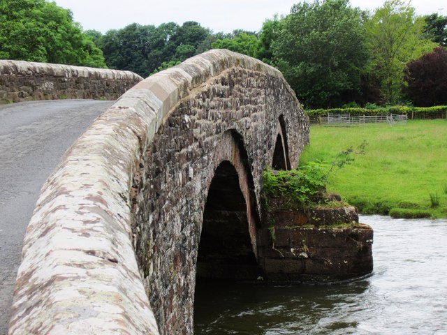
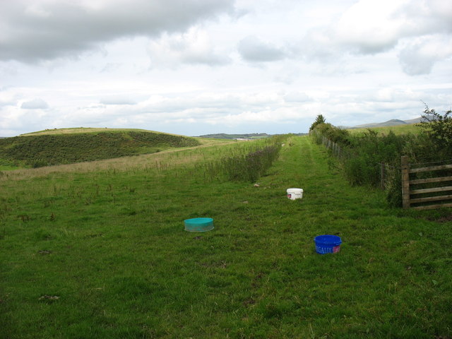
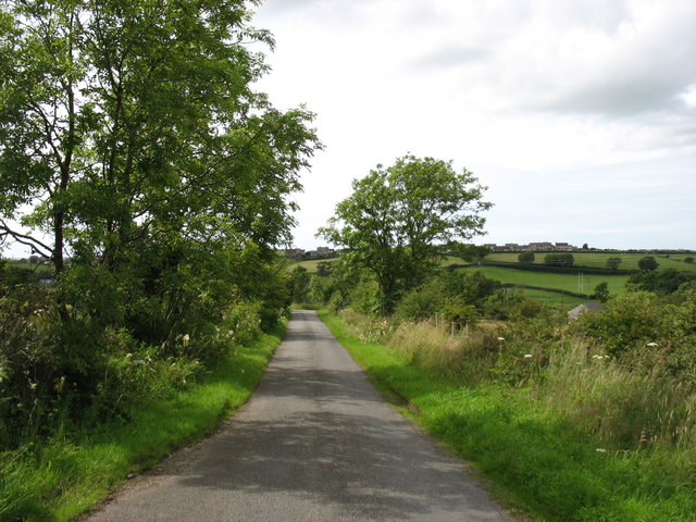
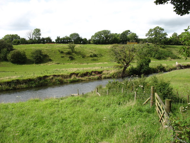
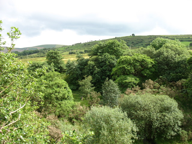
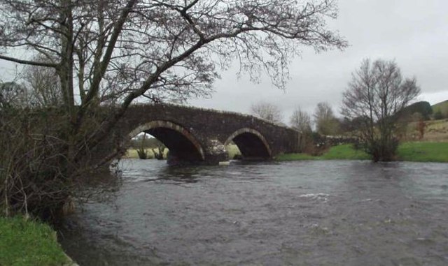
Arlecdon and Frizington Images

Images are sourced within 2km of 54.526136/-3.485061 or Grid Reference NY0315. Thanks to Geograph Open Source API. All images are credited.

Houses in Cleator Moor Complete with a large Union Jack.
Houses in Cleator Moor
Complete with a large Union Jack.
Cleator Moor rugby ground
The church at Wath Brow
The River Ehen Looking upstream from Wath Bridge.
The River Ehen
Looking upstream from Wath Bridge.
The gates to the water treatment plant On Nannycatch Road.
The gates to the water treatment plant
On Nannycatch Road.
The White House looks down on Nannycatch Road
Feeding troughs on Thwaite Hill
The track through the forest on Brown Bank
Old Boundary Marker on Red Beck Road Parish Boundary Marker against the parapet of the bridge over Hole Beck on the north side of Red Beck Road. On the boundary of Cleator Moor and Arlecdon and Frizington parishes. See also <span class="nowrap"><a title="https://www.lakesguides.co.uk/photos/BQI59.jpg" rel="nofollow ugc noopener" href="https://www.lakesguides.co.uk/photos/BQI59.jpg">Link</a><img style="margin-left:2px;" alt="External link" title="External link - shift click to open in new window" src="https://s1.geograph.org.uk/img/external.png" width="10" height="10"/></span>.

Milestone Society National ID: CU_CLARFR01pb
Old Boundary Marker on Red Beck Road
Parish Boundary Marker against the parapet of the bridge over Hole Beck on the north side of Red Beck Road. On the boundary of Cleator Moor and Arlecdon and Frizington parishes. See also LinkExternal link. Milestone Society National ID: CU_CLARFR01pb
Crossing Wath Bridge Parking nearby. A nice place to stop for a picnic.
Crossing Wath Bridge
Parking nearby. A nice place to stop for a picnic.
Thwaite Hill Kinniside Cop, also in square, is on the left.
Thwaite Hill
Kinniside Cop, also in square, is on the left.
Nannycatch Road This is looking towards Cleator Moor, the edge of which can be seen on the horizon. Nannycatch Road is a cul-de-sac: at its end (behind the photographer) is a parking area which is very popular with local dog-walkers.
Nannycatch Road
This is looking towards Cleator Moor, the edge of which can be seen on the horizon. Nannycatch Road is a cul-de-sac: at its end (behind the photographer) is a parking area which is very popular with local dog-walkers.
The River Ehen One wonders whether this river is ever confused with the (much better known) River Eden!
The River Ehen
One wonders whether this river is ever confused with the (much better known) River Eden!
Near High Waterside Looking towards the delightfully named Toddle Bank.
Near High Waterside
Looking towards the delightfully named Toddle Bank.
The River Ehen at Wath Bridge
Eastward towards Ennerdale from near Cleator Moor A fine panorama of the mountains around Ennerdale, seen from A5086 Cleator - Frizington road by Holbeck Farm. To the left is Murton Fell (1,461 ft.), Blake Fell (1,626 ft.), then Great Borne (2,018 ft.) and Starling Dodd (2,077 ft.) shining in sunlight NE of Ennerdale Water, while rather nearer on the right is Grike (1,556 ft.) joined to the Ennerdale Fells which line the south side of Ennerdale Water.
Eastward towards Ennerdale from near Cleator Moor
A fine panorama of the mountains around Ennerdale, seen from A5086 Cleator - Frizington road by Holbeck Farm. To the left is Murton Fell (1,461 ft.), Blake Fell (1,626 ft.), then Great Borne (2,018 ft.) and Starling Dodd (2,077 ft.) shining in sunlight NE of Ennerdale Water, while rather nearer on the right is Grike (1,556 ft.) joined to the Ennerdale Fells which line the south side of Ennerdale Water.
Wath Bridge, Cleator Moor
The lane to Cleator Moor
Show me another place!

Arlecdon and Frizington is located at Grid Ref: NY0315 (Lat: 54.526136, Lng: -3.485061)

Administrative County: Cumbria

District: Copeland

Police Authority: Cumbria

What 3 Words

///index.learning.outboard. Near Frizington, Cumbria

Related Wikis

Frizington railway station

Frizington railway station was built by the Whitehaven, Cleator and Egremont Railway. It served the industrial Parkside area of Frizington, Cumbria, England...

Eskett railway station

Eskett railway station was short-lived as a passenger station. it was built by the Whitehaven, Cleator and Egremont Railway to serve the hamlet of Eskett...

Yeathouse railway station

Yeathouse railway station was a later addition to the Whitehaven, Cleator and Egremont Railway. It served the communities of Yeathouse and Eskett, near...
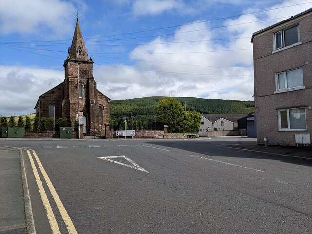
St Paul, Frizington

St Paul's is in Frizington, Cumbria, England. It is an active Anglican parish church in the deanery of Calder, and the diocese of Carlisle. Its benefice...

Cleator Moor

Cleator Moor is a town and civil parish in Cumbria, England, within the historic county of Cumberland. It had a population of 6,936 at the 2011 census...

Cleator Moor Celtic F.C.

Cleator Moor Celtic Football Club is a football club based in Cleator Moor, Cumbria, England. The club are currently members of the West Lancashire League...

Eskett

Eskett is a hamlet in Cumbria, England. Geologically it is known for its limestone formation. == References == == External links == Cumbria County History...

Flat Fell

Flat Fell is a hill located on the edge of the English Lake District, standing at 272m. It is included in Alfred Wainwright's Outlying Fells of Lakeland...

Nearby Amenities

Located within 500m of 54.526136,-3.485061
Eskett Junction
Railway: junction
Lat/Long: 54.5284543/-3.484194
Power: pole
Lat/Long: 54.5247511/-3.4897925
Power: pole
Lat/Long: 54.5250238/-3.4880484
Power: pole
Lat/Long: 54.5251308/-3.4873738
The data included in this document is from www.openstreetmap.org. The data is made available under ODbL.

Have you been to Arlecdon and Frizington?

Leave your review of Arlecdon and Frizington below (or comments, questions and feedback).