Parkside

Settlement in Cumberland Copeland

England

Parkside

Cycle Route 71 goes through a green tunnel at Cleator Moor
Cycle Route 71 goes through a green tunnel at Cleator Moor Credit: David Medcalf

Parkside is a charming residential neighborhood located in Cumberland, a historic town in Allegany County, Maryland. Situated just south of the downtown area, Parkside offers a peaceful and family-friendly environment for its residents.

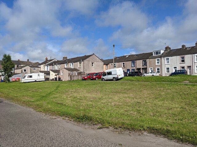
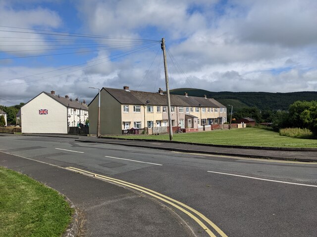
The neighborhood is characterized by its well-maintained streets lined with beautiful trees and manicured lawns, providing a picturesque ambiance. Most of the houses in Parkside are single-family homes, boasting a mix of architectural styles including colonial, ranch, and contemporary designs. Many of these residences feature spacious yards, adding to the overall appeal of the neighborhood.

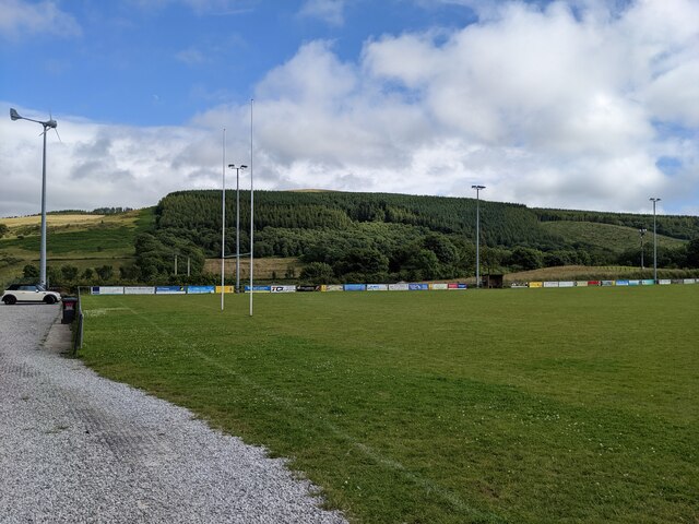
In terms of amenities, Parkside offers its residents convenient access to various facilities and services. Nearby, residents can find several parks and green spaces, such as Constitution Park and Allegany County Fairgrounds, providing opportunities for outdoor activities and recreational pursuits. Additionally, Cumberland's downtown area is just a short drive away, where residents can explore a range of dining options, shops, and entertainment venues.

Parkside benefits from its proximity to educational institutions, including several public and private schools, making it an ideal location for families with children. Furthermore, Cumberland itself offers a range of employment opportunities, with industries such as healthcare, education, and manufacturing contributing to the local economy.

Overall, Parkside in Cumberland presents a desirable residential option, combining a peaceful and attractive neighborhood with convenient access to amenities and services.

If you have any feedback on the listing, please let us know in the comments section below.
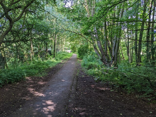
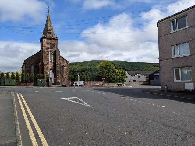
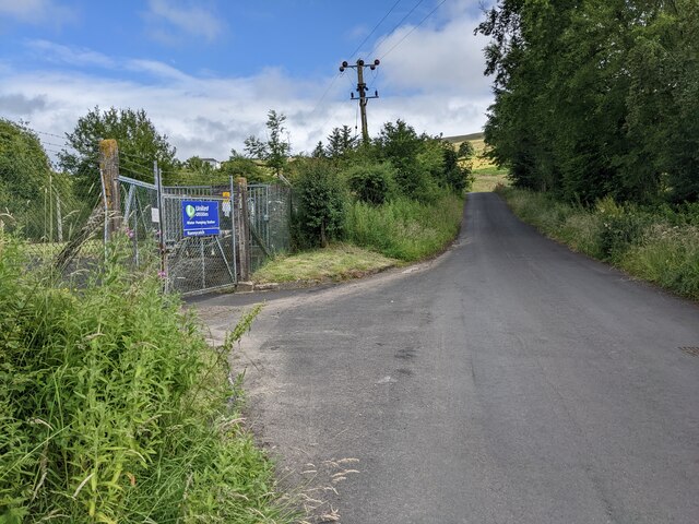
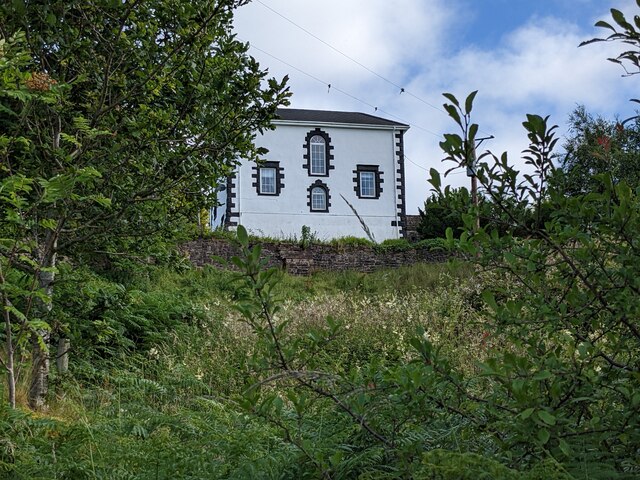
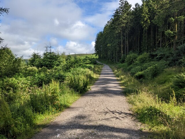
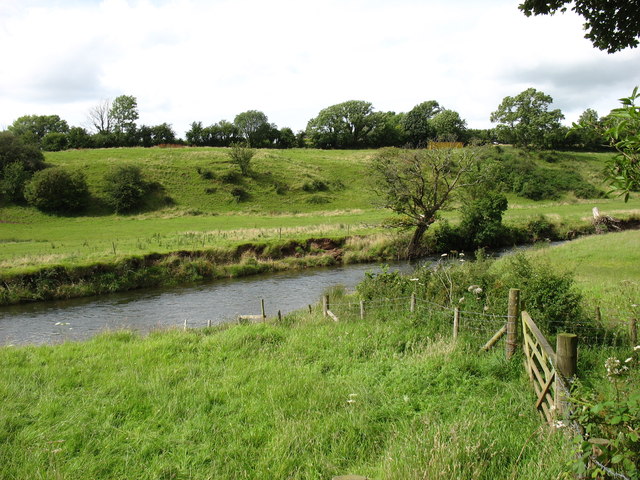
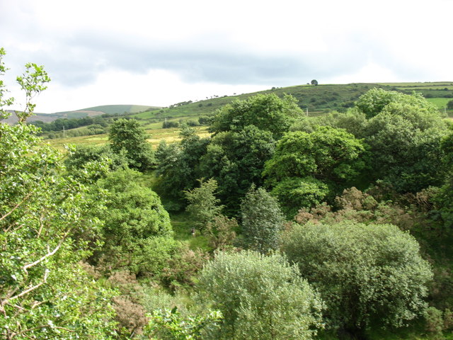
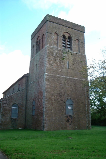
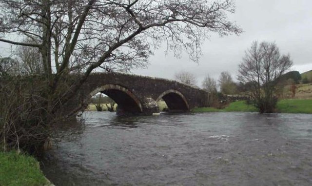
Parkside Images

Images are sourced within 2km of 54.524463/-3.4933608 or Grid Reference NY0315. Thanks to Geograph Open Source API. All images are credited.

Cycle Route 71 goes through a green tunnel at Cleator Moor
Housing terraces at Cleator Moor
Houses in Cleator Moor Complete with a large Union Jack.
Houses in Cleator Moor
Complete with a large Union Jack.
Cleator Moor rugby ground
The church at Wath Brow
The River Ehen Looking upstream from Wath Bridge.
The River Ehen
Looking upstream from Wath Bridge.
The gates to the water treatment plant On Nannycatch Road.
The gates to the water treatment plant
On Nannycatch Road.
The White House looks down on Nannycatch Road
Feeding troughs on Thwaite Hill
The track through the forest on Brown Bank
Old Boundary Marker on Red Beck Road Parish Boundary Marker against the parapet of the bridge over Hole Beck on the north side of Red Beck Road. On the boundary of Cleator Moor and Arlecdon and Frizington parishes. See also <span class="nowrap"><a title="https://www.lakesguides.co.uk/photos/BQI59.jpg" rel="nofollow ugc noopener" href="https://www.lakesguides.co.uk/photos/BQI59.jpg">Link</a><img style="margin-left:2px;" alt="External link" title="External link - shift click to open in new window" src="https://s1.geograph.org.uk/img/external.png" width="10" height="10"/></span>.

Milestone Society National ID: CU_CLARFR01pb
Old Boundary Marker on Red Beck Road
Parish Boundary Marker against the parapet of the bridge over Hole Beck on the north side of Red Beck Road. On the boundary of Cleator Moor and Arlecdon and Frizington parishes. See also LinkExternal link. Milestone Society National ID: CU_CLARFR01pb
Crossing Wath Bridge Parking nearby. A nice place to stop for a picnic.
Crossing Wath Bridge
Parking nearby. A nice place to stop for a picnic.
Thwaite Hill Kinniside Cop, also in square, is on the left.
Thwaite Hill
Kinniside Cop, also in square, is on the left.
Nannycatch Road This is looking towards Cleator Moor, the edge of which can be seen on the horizon. Nannycatch Road is a cul-de-sac: at its end (behind the photographer) is a parking area which is very popular with local dog-walkers.
Nannycatch Road
This is looking towards Cleator Moor, the edge of which can be seen on the horizon. Nannycatch Road is a cul-de-sac: at its end (behind the photographer) is a parking area which is very popular with local dog-walkers.
The River Ehen One wonders whether this river is ever confused with the (much better known) River Eden!
The River Ehen
One wonders whether this river is ever confused with the (much better known) River Eden!
Near High Waterside Looking towards the delightfully named Toddle Bank.
Near High Waterside
Looking towards the delightfully named Toddle Bank.
St John's church, Cleator Moor
The River Ehen at Wath Bridge
Show me another place!

Parkside is located at Grid Ref: NY0315 (Lat: 54.524463, Lng: -3.4933608)

Administrative County: Cumbria

District: Copeland

Police Authority: Cumbria

What 3 Words

///eager.essay.units. Near Cleator Moor, Cumbria

Related Wikis

Frizington railway station

Frizington railway station was built by the Whitehaven, Cleator and Egremont Railway. It served the industrial Parkside area of Frizington, Cumbria, England...

Cleator Moor

Cleator Moor is a town and civil parish in Cumbria, England, within the historic county of Cumberland. It had a population of 6,936 at the 2011 census...

Cleator Moor Celtic F.C.

Cleator Moor Celtic Football Club is a football club based in Cleator Moor, Cumbria, England. The club are currently members of the West Lancashire League...

St Paul, Frizington

St Paul's is in Frizington, Cumbria, England. It is an active Anglican parish church in the deanery of Calder, and the diocese of Carlisle. Its benefice...

Eskett railway station

Eskett railway station was short-lived as a passenger station. it was built by the Whitehaven, Cleator and Egremont Railway to serve the hamlet of Eskett...

Yeathouse railway station

Yeathouse railway station was a later addition to the Whitehaven, Cleator and Egremont Railway. It served the communities of Yeathouse and Eskett, near...

Cleator Moor railway station

The original Cleator Moor railway station was built by the Whitehaven, Cleator and Egremont Railway. It served the rapidly urbanising town of Cleator Moor...

Cleator Moor East railway station

Cleator Moor has had three passenger stations: The original 1857 Cleator Moor station which became a goods station when it was replaced in 1866. Its 1866...

Nearby Amenities

Located within 500m of 54.524463,-3.4933608
Post Box
Post Box Type: lamp
Ref: CA25 97
Lat/Long: 54.5244427/-3.4947343
Bus Stop
Parkside Inn
Naptan AtcoCode: 090050010338
Naptan Bearing: S
Naptan CommonName: Parkside Inn
Naptan Indicator: opp
Naptan Landmark: Parkside Inn
Naptan NaptanCode: cumatjtw
Naptan Street: A5086
Naptan Verified: no
Source: naptan_import
Lat/Long: 54.5248509/-3.4940066
Parkside
Place: hamlet
Lat/Long: 54.5244969/-3.496265
Frizington
Abandoned Railway: station
Railway: site
Lat/Long: 54.5249925/-3.4955397
Power: pole
Lat/Long: 54.5247511/-3.4897925
Power: pole
Lat/Long: 54.5250238/-3.4880484
Power: pole
Lat/Long: 54.5251308/-3.4873738
Power: pole
Lat/Long: 54.5239481/-3.492598
Power: pole
Lat/Long: 54.5239246/-3.4941132
Power: pole
Lat/Long: 54.5239023/-3.4956405
Power: pole
Lat/Long: 54.5239164/-3.4969045
Power: pole
Lat/Long: 54.5239364/-3.4980713
Power: pole
Lat/Long: 54.5258984/-3.5001344
Power: pole
Lat/Long: 54.5251849/-3.4995247
The data included in this document is from www.openstreetmap.org. The data is made available under ODbL.

Have you been to Parkside?

Leave your review of Parkside below (or comments, questions and feedback).