Ardeley
Civil Parish in Hertfordshire East Hertfordshire
England
Ardeley
Ardeley is a civil parish located in the county of Hertfordshire, England. It is situated approximately 3 miles southeast of the town of Stevenage and 28 miles north of central London. The parish covers an area of around 1,600 acres and has a population of approximately 500 people.
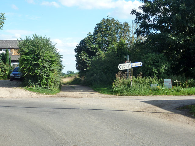
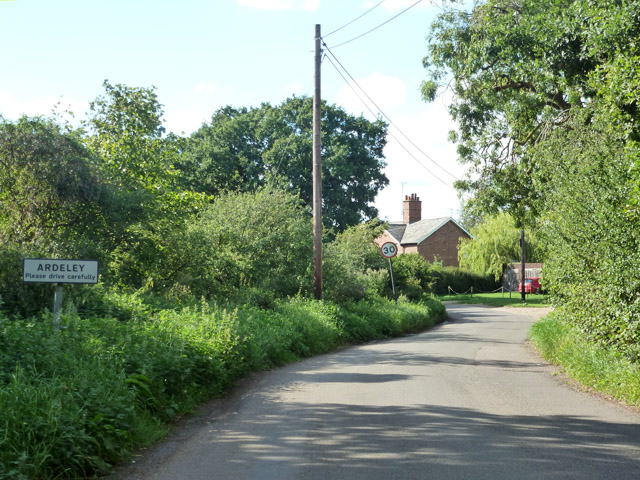
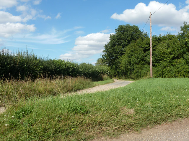
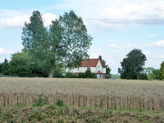
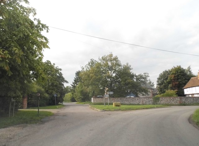
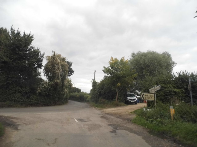
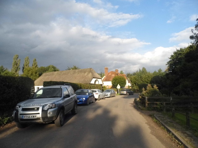
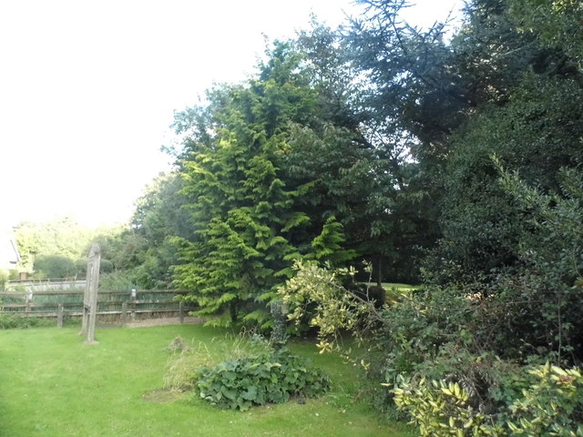
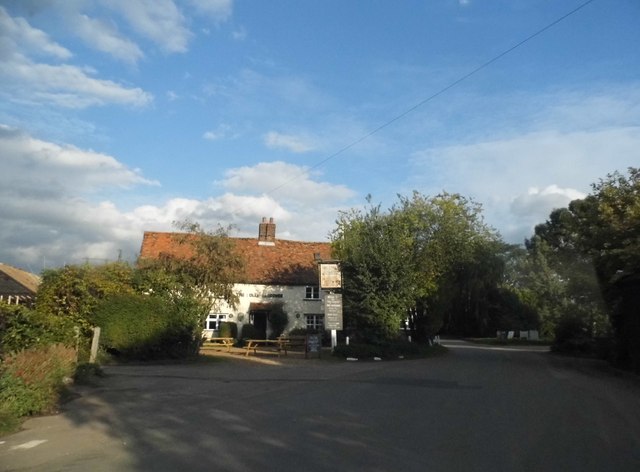
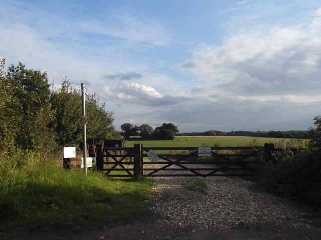
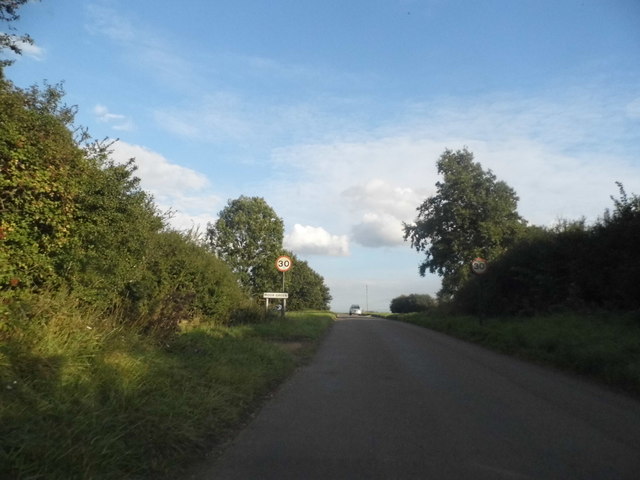
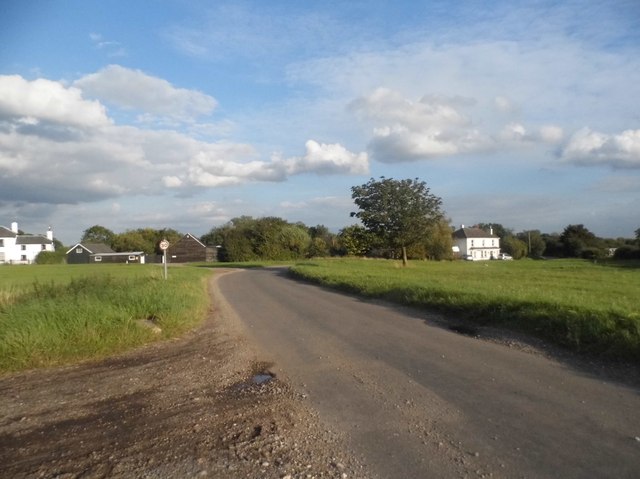
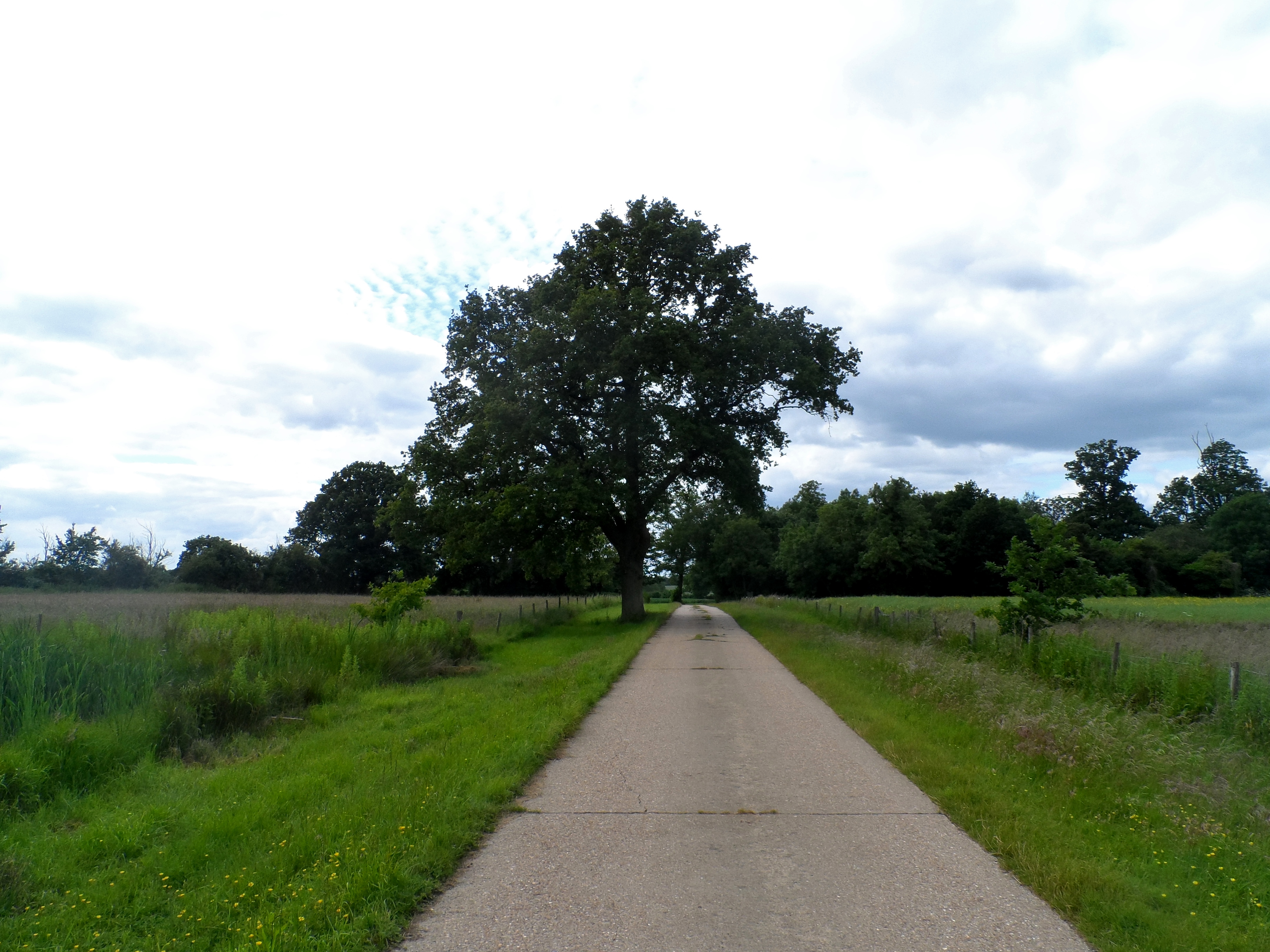
Ardeley is a rural village known for its picturesque countryside and charming atmosphere. The landscape is characterized by rolling hills, open fields, and small woodlands, making it an ideal place for leisurely walks and outdoor activities. The village is surrounded by farmland, with agriculture playing a significant role in the local economy.
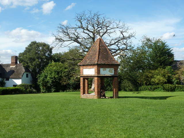
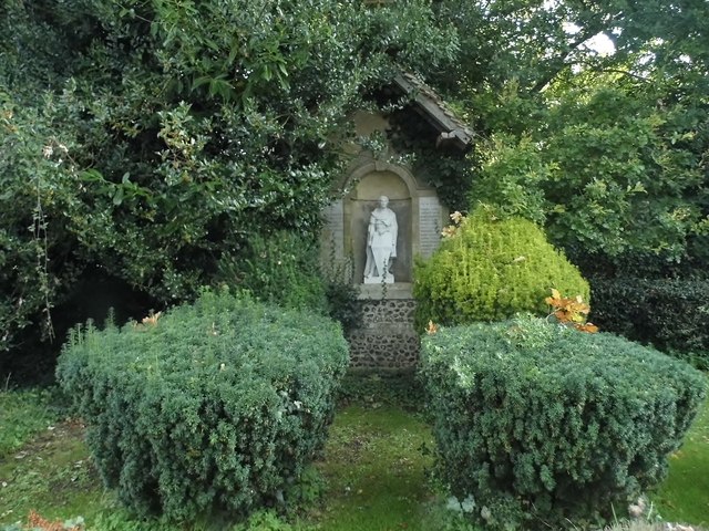
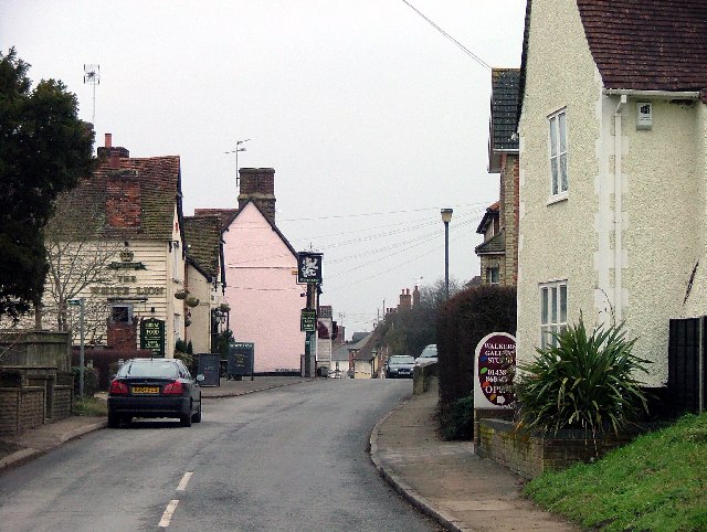
The center of Ardeley features a small cluster of buildings, including a historic church, St. Lawrence’s, which dates back to the 12th century. The church is a prominent landmark in the area and is known for its beautiful architecture and stained glass windows. There is also a primary school in the village, providing education for local children.
Ardeley has a strong sense of community, with various events and activities organized throughout the year. The village hosts an annual summer fete, where residents and visitors can enjoy stalls, games, and entertainment. There are also several local clubs and societies, catering to a range of interests, including sports, gardening, and arts.
Overall, Ardeley offers a peaceful and idyllic setting for those seeking a rural lifestyle while still being within easy reach of larger towns and cities. Its natural beauty, community spirit, and historic charm make it a desirable place to live or visit.
If you have any feedback on the listing, please let us know in the comments section below.
Ardeley Images
Images are sourced within 2km of 51.924256/-0.088311 or Grid Reference TL3126. Thanks to Geograph Open Source API. All images are credited.


Ardeley is located at Grid Ref: TL3126 (Lat: 51.924256, Lng: -0.088311)
Administrative County: Hertfordshire
District: East Hertfordshire
Police Authority: Hertfordshire
What 3 Words
///stability.activates.typically. Near Walkern, Hertfordshire
Nearby Locations
Related Wikis

Ardeley
Ardeley is a small village and civil parish in East Hertfordshire, England. The parish includes the hamlet of Cromer, as well as Wood End and Moor Green...

Moor Hall Meadows
Moor Hall Meadows is a 24.4-hectare (60-acre) biological Site of Special Scientific Interest in Moor Green in Hertfordshire. The local planning authority...
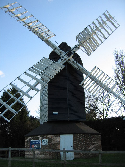
Cromer Windmill, Ardeley
Cromer Windmill, restored in four stages between 1967 and 1998, is a Grade II* listed post mill at Cromer, Ardeley, Hertfordshire, England. == History... ==

Church of St Mary the Virgin, Walkern
The parish church of St Mary the Virgin in Walkern, Hertfordshire, dates from before the Norman Conquest and has been altered in the succeeding centuries...
Cromer, Hertfordshire
Cromer is a hamlet in the civil parish of Ardeley, Hertfordshire, England. It is a small hamlet; however, it is noteworthy for possessing Hertfordshire...
Wakeley, Hertfordshire
Wakeley is a hamlet and former civil parish 14 miles (23 km) from Hertford, now in the parish of Westmill, in the East Hertfordshire district, in the county...

Cottered
Cottered is a village and civil parish 3 miles (4.8 km) west of Buntingford and 6 miles (9.7 km) east of Baldock in the East Hertfordshire District of...
Walkern
Walkern is a village and civil parish in East Hertfordshire, England. It is about two miles (3 km) from Stevenage. The village has several shops, including...
Nearby Amenities
Located within 500m of 51.924256,-0.088311Have you been to Ardeley?
Leave your review of Ardeley below (or comments, questions and feedback).