Muncher's Green
Downs, Moorland in Hertfordshire East Hertfordshire
England
Muncher's Green
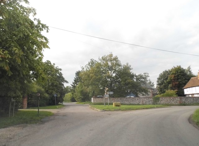
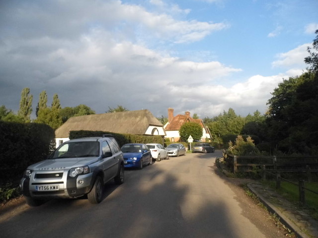
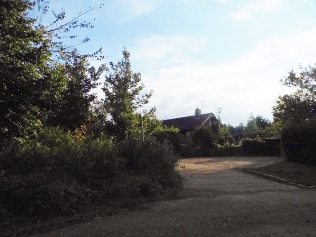
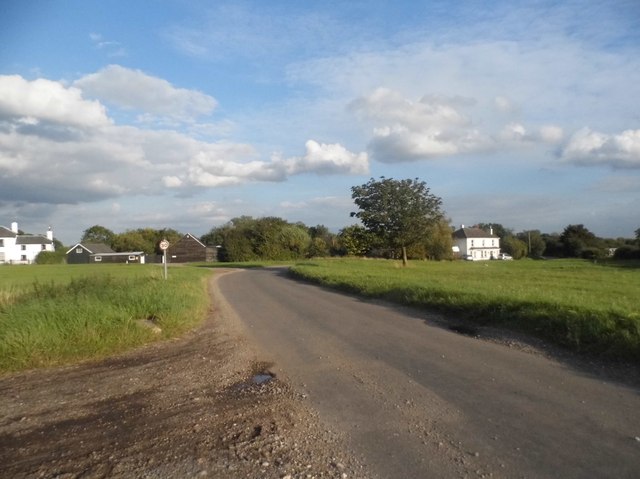
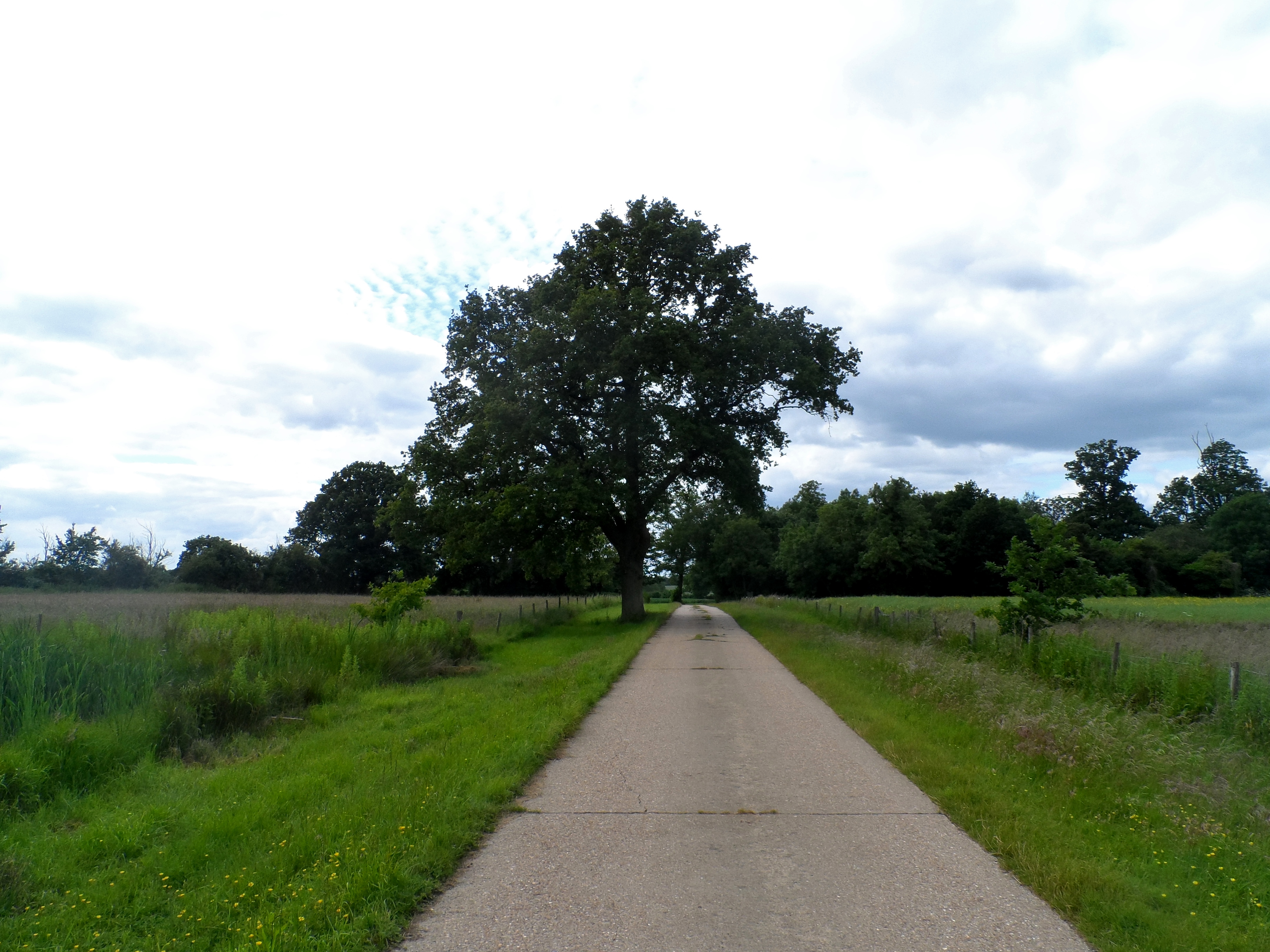
Muncher's Green is a small village located in the county of Hertfordshire, England. Situated in the south-eastern part of the county, it lies between the towns of Hatfield and Welwyn Garden City. The village is known for its picturesque surroundings, characterized by rolling downs and moorland.
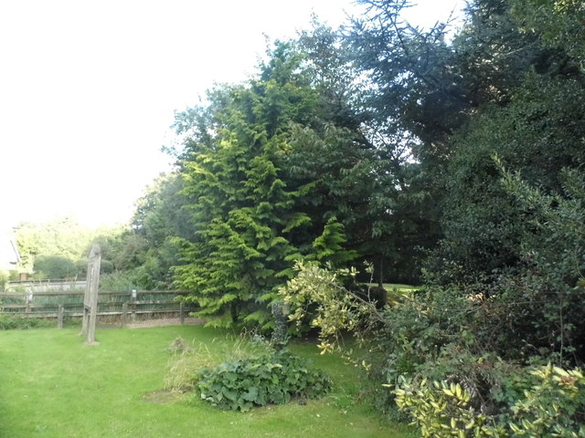
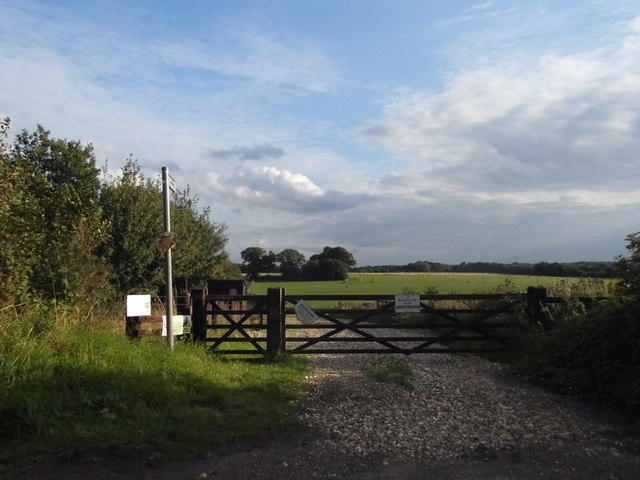
The downs in Muncher's Green offer stunning panoramic views of the surrounding countryside. They are a popular spot for recreational activities such as hiking, picnicking, and birdwatching. The lush green landscape provides a serene escape from the hustle and bustle of nearby urban areas.
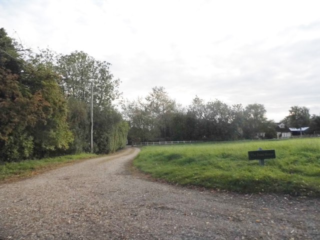
Moorland also features prominently in Muncher's Green, with vast expanses of open, heather-covered terrain. This unique ecosystem supports a variety of plant and animal species, making it a haven for nature enthusiasts. Walking trails wind through the moorland, allowing visitors to explore and appreciate the diverse flora and fauna.
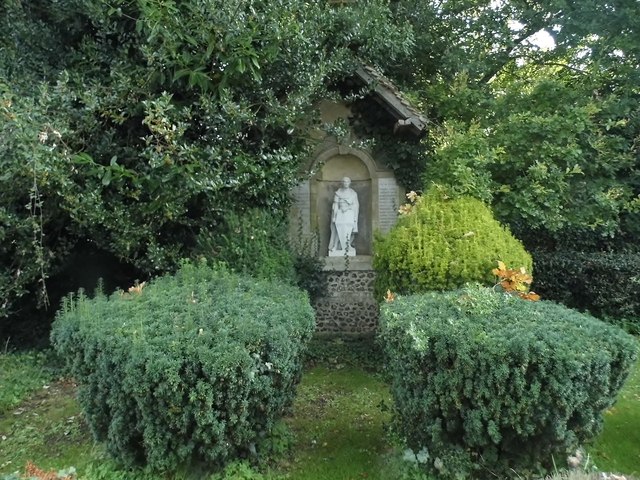
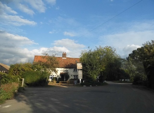
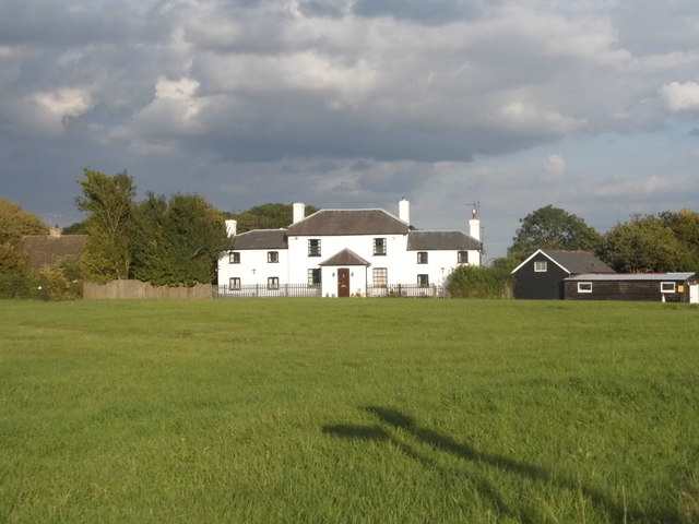
The village itself is quaint and charming, with traditional cottages and a close-knit community. It has a small local pub, which serves as a gathering place for residents and visitors alike. The pub often hosts events and live music, adding to the village's vibrant atmosphere.
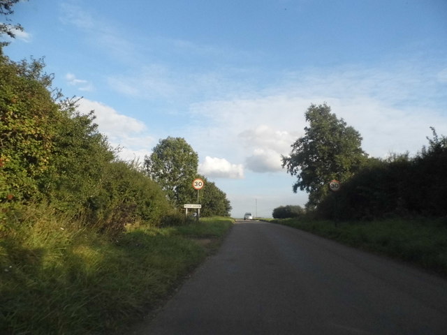
Muncher's Green is conveniently located near major transportation routes, making it easily accessible for those wishing to visit. The village provides a peaceful and idyllic setting for those seeking to connect with nature and escape the hustle of city life.
If you have any feedback on the listing, please let us know in the comments section below.
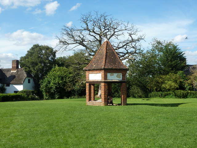
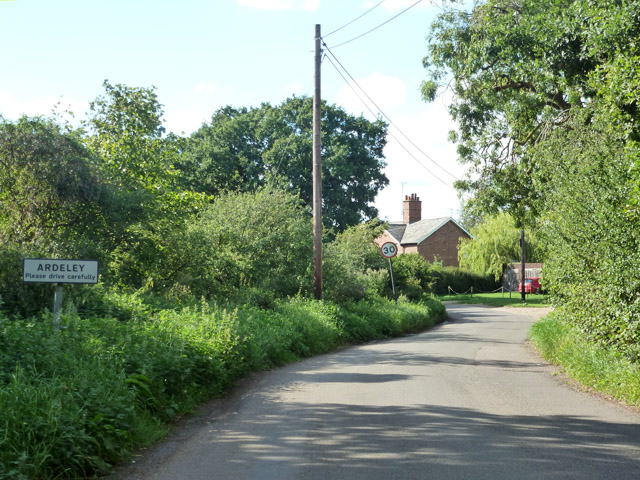
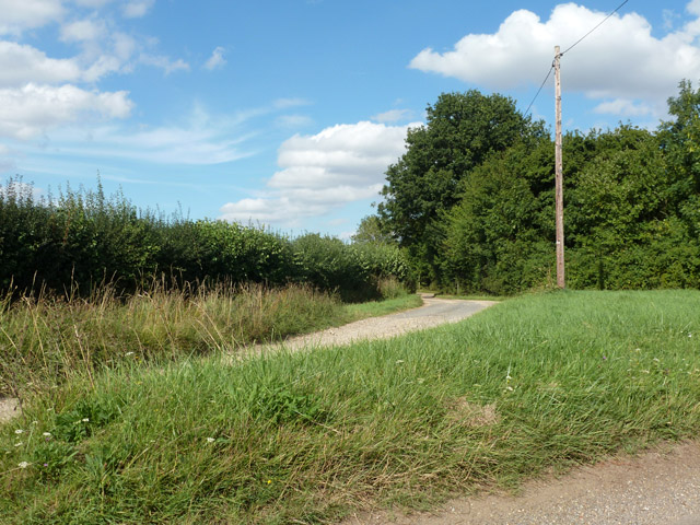
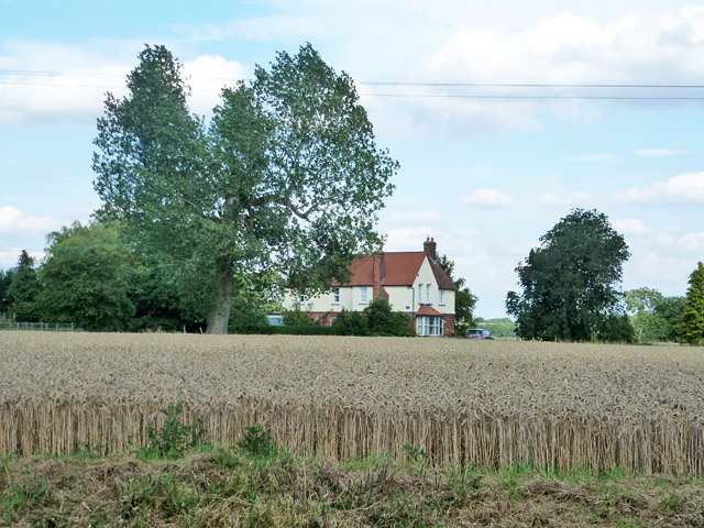
Muncher's Green Images
Images are sourced within 2km of 51.920106/-0.083059104 or Grid Reference TL3126. Thanks to Geograph Open Source API. All images are credited.


Muncher's Green is located at Grid Ref: TL3126 (Lat: 51.920106, Lng: -0.083059104)
Administrative County: Hertfordshire
District: East Hertfordshire
Police Authority: Hertfordshire
What 3 Words
///swarm.slam.moved. Near Walkern, Hertfordshire
Nearby Locations
Related Wikis

Moor Hall Meadows
Moor Hall Meadows is a 24.4-hectare (60-acre) biological Site of Special Scientific Interest in Moor Green in Hertfordshire. The local planning authority...

Ardeley
Ardeley is a small village and civil parish in East Hertfordshire, England. The parish includes the hamlet of Cromer, as well as Wood End and Moor Green...
Wakeley, Hertfordshire
Wakeley is a hamlet and former civil parish 14 miles (23 km) from Hertford, now in the parish of Westmill, in the East Hertfordshire district, in the county...

Church of St Mary the Virgin, Walkern
The parish church of St Mary the Virgin in Walkern, Hertfordshire, dates from before the Norman Conquest and has been altered in the succeeding centuries...
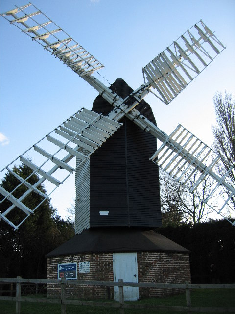
Cromer Windmill, Ardeley
Cromer Windmill, restored in four stages between 1967 and 1998, is a Grade II* listed post mill at Cromer, Ardeley, Hertfordshire, England. == History... ==
Cromer, Hertfordshire
Cromer is a hamlet in the civil parish of Ardeley, Hertfordshire, England. It is a small hamlet; however, it is noteworthy for possessing Hertfordshire...

Button Snap
Button Snap is a 17th-century cottage in northeast Hertfordshire, that has been associated with the writer Charles Lamb. It is on a rural gravel road west...
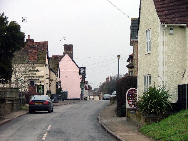
Walkern
Walkern is a village and civil parish in East Hertfordshire, England. It is about two miles (3 km) from Stevenage. The village has several shops, including...
Nearby Amenities
Located within 500m of 51.920106,-0.083059104Have you been to Muncher's Green?
Leave your review of Muncher's Green below (or comments, questions and feedback).