Broadall's District
Downs, Moorland in Huntingdonshire Huntingdonshire
England
Broadall's District

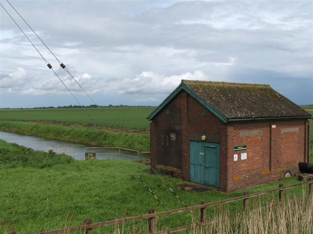
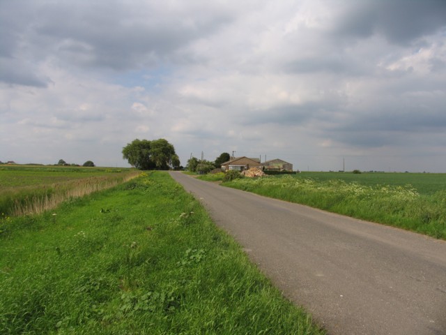
Broadall's District is a picturesque area located in Huntingdonshire, a county in the eastern part of England. Situated on the fringes of the county, it encompasses a diverse landscape of downs and moorland, offering visitors an array of natural beauty and outdoor activities.
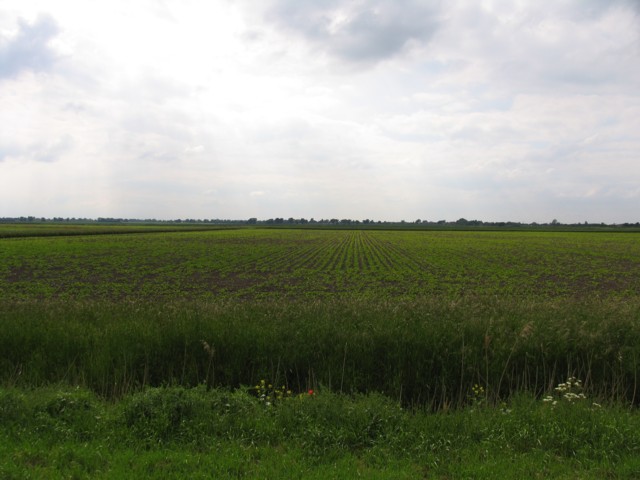
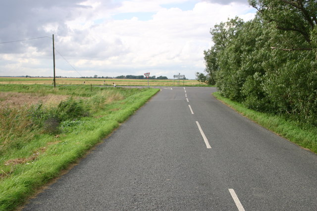
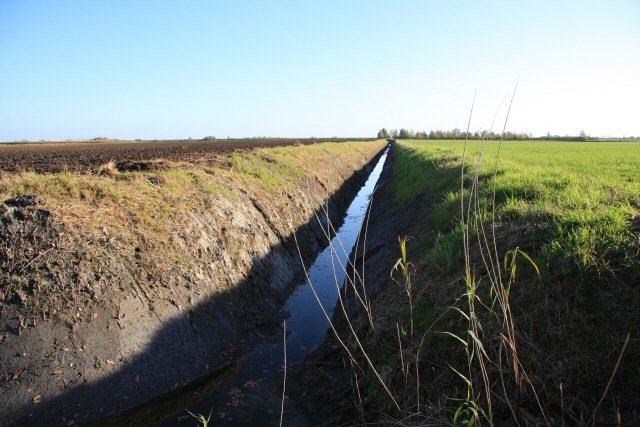
The district's downs are characterized by rolling hills and lush green fields, providing a stunning backdrop for leisurely walks and hikes. The terrain is ideal for outdoor enthusiasts, with numerous trails and footpaths offering breathtaking views of the surrounding countryside. It is not uncommon to spot an abundance of wildlife, including rabbits, foxes, and various bird species.
In contrast, the moorland areas of Broadall's District offer a unique experience with their wild and rugged beauty. Covered in heather and gorse, these vast expanses provide a habitat for a variety of plants and animals, including rare species of birds and reptiles. The moors are a popular destination for birdwatchers and nature enthusiasts, who come to admire the rich biodiversity that thrives in this untouched environment.
Apart from its natural attractions, Broadall's District also boasts charming villages and historic sites. Visitors can explore quaint cottages, traditional pubs, and ancient churches, immersing themselves in the area's rich cultural heritage.
Overall, Broadall's District in Huntingdonshire offers a delightful blend of natural wonders and cultural treasures. Whether it's the rolling downs, the untamed moorland, or the charming villages, this district is a haven for those seeking a tranquil escape in the heart of the English countryside.
If you have any feedback on the listing, please let us know in the comments section below.
Broadall's District Images
Images are sourced within 2km of 52.48573/-0.058029713 or Grid Reference TL3189. Thanks to Geograph Open Source API. All images are credited.


Broadall's District is located at Grid Ref: TL3189 (Lat: 52.48573, Lng: -0.058029713)
Administrative County: Cambridgeshire
District: Huntingdonshire
Police Authority: Cambridgeshire
What 3 Words
///petty.clarifies.tailors. Near Ramsey, Cambridgeshire
Nearby Locations
Related Wikis

Ramsey Forty Foot
Ramsey Forty Foot is a village in Ramsey civil parish, part of the Huntingdonshire district of Cambridgeshire, England. It lies on the Forty Foot Drain...
Benwick
Benwick is a village and civil parish in the Fenland district of Cambridgeshire, England. It is approximately 15 miles (24 km) from Peterborough and 30...

Ramsey Mereside
Ramsey Mereside, known colloquially as "The Village", is a small village approximately 3.5 miles (5.6 km) north of the town of Ramsey, Cambridgeshire...

Abbey College, Ramsey
Abbey College is a secondary school located in Ramsey, Cambridgeshire, England. The school is around 10 miles from Huntingdon and Peterborough and offers...

Church of St Thomas à Becket, Ramsey
The Church of St Thomas à Becket, Ramsey is the Church of England parish church of Ramsey, Cambridgeshire (formerly Huntingdonshire). The parish is part...

Ramsey Abbey
Ramsey Abbey was a Benedictine abbey in Ramsey, Huntingdonshire (now part of Cambridgeshire), England. It was founded about AD 969 and dissolved in 1539...
Ramsey Abbey Gatehouse
Ramsey Abbey Gatehouse was the gatehouse to the Benedictine Ramsey Abbey in Ramsey, Huntingdonshire (now part of Cambridgeshire), England. The gatehouse...
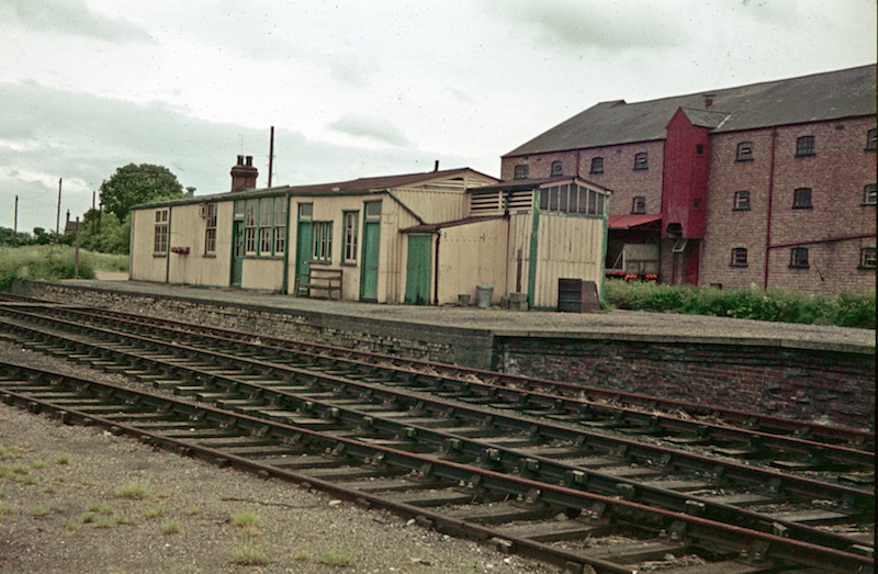
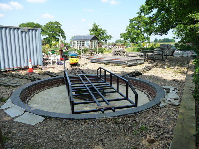
Ramsey North railway station
Ramsey North railway station was a railway station in Ramsey, Cambridgeshire which is now closed. It was the terminus of a branch line from Holme on the...
Nearby Amenities
Located within 500m of 52.48573,-0.058029713Have you been to Broadall's District?
Leave your review of Broadall's District below (or comments, questions and feedback).