Black Holt

Downs, Moorland in Lincolnshire East Lindsey

England

Black Holt

Direction Sign – Signpost at Miningsby in Revesby parish Located on the east side of a T junction at Miningsby in Revesby parish. 3 arms and no finial.

Milestone Society National ID: LI_TF3164
Direction Sign – Signpost at Miningsby in Revesby parish Credit: A Riley

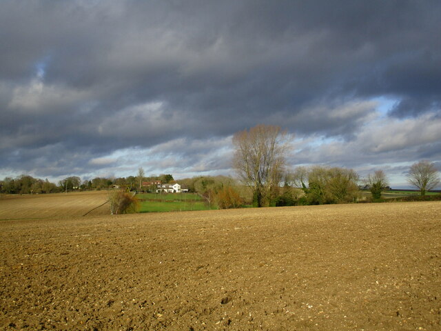
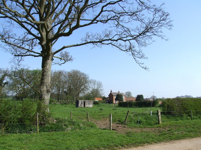
Black Holt is a picturesque area located in the county of Lincolnshire in England. Situated amidst the breathtaking Downs and Moorland landscapes, it offers a unique and diverse natural environment. The area is characterized by its rolling hills, open fields, and stunning vistas, making it a haven for outdoor enthusiasts and nature lovers.

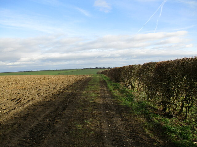
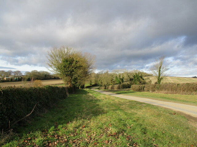
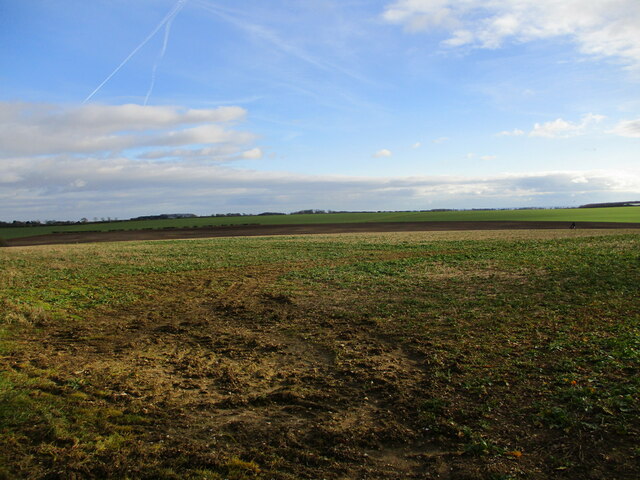
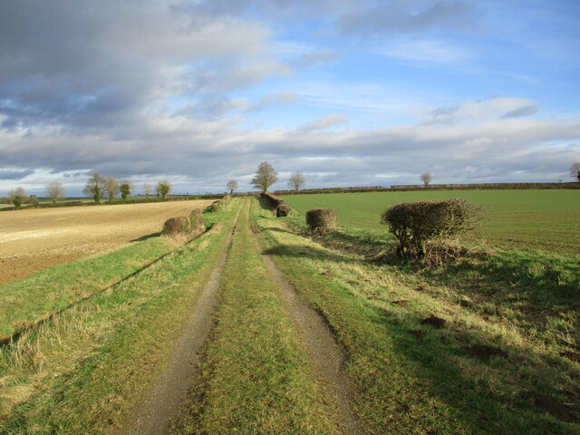
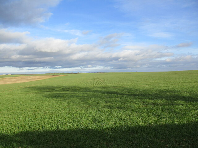
The Downs in Black Holt are known for their expansive grassy slopes and gentle inclines. These hills provide a perfect setting for activities such as hiking, picnicking, and birdwatching. The landscape is dotted with ancient woodlands, adding to the beauty and serenity of the area.

The Moorland in Black Holt is characterized by its vast stretches of heather, giving the area a distinct purple hue during the blooming season. The moors are home to a variety of wildlife, including various bird species, rabbits, and deer. Walking trails crisscross the moorland, allowing visitors to explore and appreciate the unique flora and fauna.

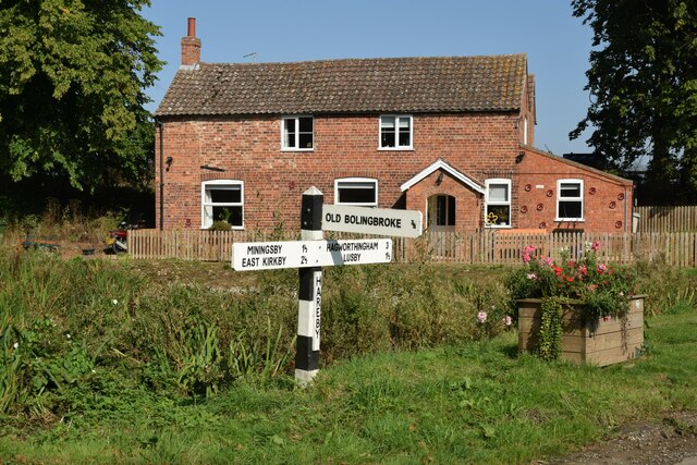
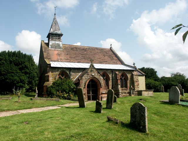
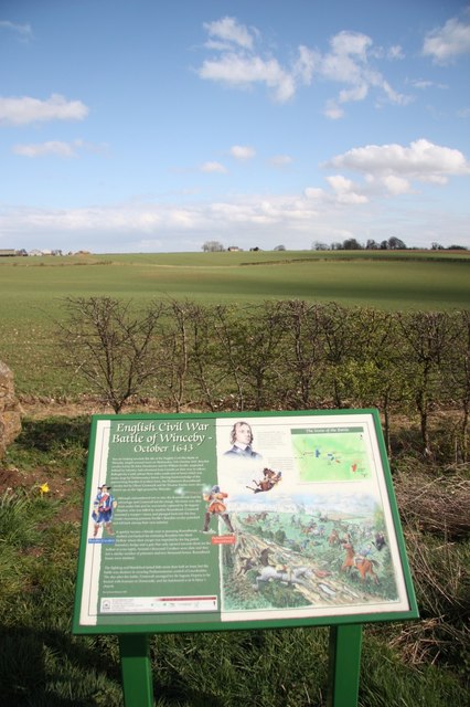
Black Holt is also known for its rich history and cultural heritage. The area is scattered with quaint villages and historic sites, such as ancient churches and manor houses. These landmarks offer a glimpse into the region's past and provide visitors with an opportunity to immerse themselves in the local history.

Overall, Black Holt, Lincolnshire (Downs, Moorland) is a captivating destination that offers a combination of natural beauty, outdoor activities, and cultural exploration. Whether it is a peaceful hike through the Downs, an adventurous trek across the moorland, or a journey into history, this area has something to offer for everyone.

If you have any feedback on the listing, please let us know in the comments section below.

Black Holt Images

Images are sourced within 2km of 53.173692/-0.025409001 or Grid Reference TF3265. Thanks to Geograph Open Source API. All images are credited.

Direction Sign – Signpost at Miningsby in Revesby parish Located on the east side of a T junction at Miningsby in Revesby parish. 3 arms and no finial.

Milestone Society National ID: LI_TF3164
Direction Sign – Signpost at Miningsby in Revesby parish
Located on the east side of a T junction at Miningsby in Revesby parish. 3 arms and no finial. Milestone Society National ID: LI_TF3164
Direction Sign – Signpost at Hareby, Bolingbroke parish Located on the west side of a T junction at Hareby in Bolingbroke parish. 3 arms and no finial.

Milestone Society National ID: LI_TF3365
Direction Sign – Signpost at Hareby, Bolingbroke parish
Located on the west side of a T junction at Hareby in Bolingbroke parish. 3 arms and no finial. Milestone Society National ID: LI_TF3365
Farm track near Baytree Farm, Hameringham
Grass field, Hameringham
Lane to Hameringham
Lane to Hameringham
Grass field near Hameringham
Stubble field and electricity poles with transformer
All Saints' church, Hameringham Medieval church restored by Hodgson Fowler <span class="nowrap"><a title="https://en.wikipedia.org/wiki/C._Hodgson_Fowler" rel="nofollow ugc noopener" href="https://en.wikipedia.org/wiki/C._Hodgson_Fowler">Link</a><img style="margin-left:2px;" alt="External link" title="External link - shift click to open in new window" src="https://s1.geograph.org.uk/img/external.png" width="10" height="10"/></span> in 1893. The use of red sandstone for window surrounds and doorways contrasts strongly with the local greenstone. <span class="nowrap"><a title="https://historicengland.org.uk/listing/the-list/list-entry/1062996?section=official-listing" rel="nofollow ugc noopener" href="https://historicengland.org.uk/listing/the-list/list-entry/1062996?section=official-listing">Link</a><img style="margin-left:2px;" alt="External link" title="External link - shift click to open in new window" src="https://s1.geograph.org.uk/img/external.png" width="10" height="10"/></span>
All Saints' church, Hameringham
Medieval church restored by Hodgson Fowler LinkExternal link in 1893. The use of red sandstone for window surrounds and doorways contrasts strongly with the local greenstone. LinkExternal link
Ivy covered trees at Hameringham
Wolds landscape, Hameringham
The beginning of a footpath to Chapel Lane, Hameringham
Tilled field at Hameringham A footpath crosses this field but has not been maintained. The footbridge where it crosses the East Beck can just be seen below the blue barn.
Tilled field at Hameringham
A footpath crosses this field but has not been maintained. The footbridge where it crosses the East Beck can just be seen below the blue barn.
Tilled fields at Hameringham
Bridleway from Low Hameringham
Autumn sown crop near Hameringham Top
Poultry unit, Hameringham Top
Footpath to Chapel Lane, Hameringham
Show me another place!

Black Holt is located at Grid Ref: TF3265 (Lat: 53.173692, Lng: -0.025409001)

Administrative County: Lincolnshire

District: East Lindsey

Police Authority: Lincolnshire

What 3 Words

///senior.reflected.outdoor. Near Horncastle, Lincolnshire

Nearby Locations

Black Holt

Related Wikis

Asgarby, East Lindsey

Asgarby is a hamlet and former civil parish, now in the parish of Lusby with Winceby, in the East Lindsey district of Lincolnshire, England. It lies just...

Hameringham

Hameringham is an extended village in the East Lindsey district of Lincolnshire, England. It is situated 4 miles (6.4 km) south-east from the town of Horncastle...

Miningsby

Miningsby is a small village and former civil parish, now in the parish of Revesby, in the East Lindsey district of Lincolnshire, England. It is situated...

Hareby

Hareby is a small village and former civil parish, now in the parish of Bolingbroke, in the East Lindsey district of Lincolnshire, England. It is situated...

Claxby Pluckacre

Claxby Pluckacre is a hamlet in the East Lindsey district of Lincolnshire, England. It is situated approximately 5 miles (8.0 km) south-east from the town...

Winceby

Winceby is a village in the civil parish of Lusby with Winceby, in the East Lindsey district of Lincolnshire, England. It is in the Lincolnshire Wolds...

Lusby, Lincolnshire

Lusby is a village and former civil parish, now in the parish of Lusby with Winceby, in the East Lindsey district of Lincolnshire, England. It is situated...

Snipe Dales

Snipe Dales is a country park and nature reserve in the Lincolnshire Wolds near Hagworthingham in Lincolnshire, England. The reserve is one of the few...

Nearby Amenities

Located within 500m of 53.173692,-0.025409001
Hameringham Plantation
Landuse: forest
Source: Bing
Lat/Long: 53.1732246/-0.0326985
The data included in this document is from www.openstreetmap.org. The data is made available under ODbL.

Have you been to Black Holt?

Leave your review of Black Holt below (or comments, questions and feedback).