Archdeacon Newton

Civil Parish in Durham

England

Archdeacon Newton

Archway through modern mixed retail and residential development A mixed development of retail on the ground floor with flats above in the West Park development. Redevelopment of the West Park Village area began in 2002 and includes retail and residential properties, a school, and a nature reserve. the area was formerly the site of a chemical works (Darchem) and adjacent farmland.
Archway through modern mixed retail and residential development Credit: David Robinson

Archdeacon Newton is a civil parish located in the county of Durham, England. Situated approximately 4 miles south of the city of Durham, the parish is named after the prominent local landmark, Archdeacon Newton Hall.

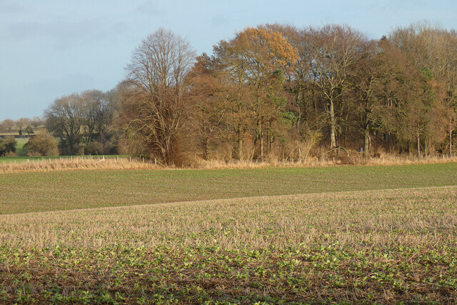
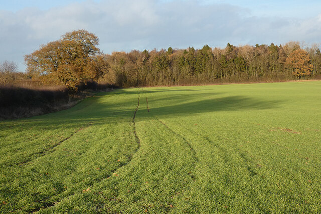
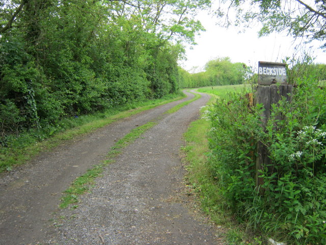
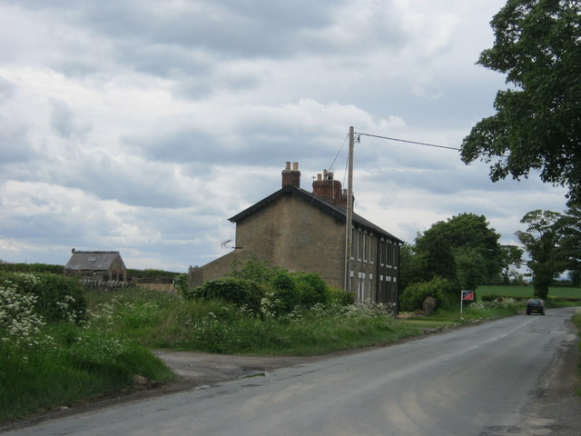
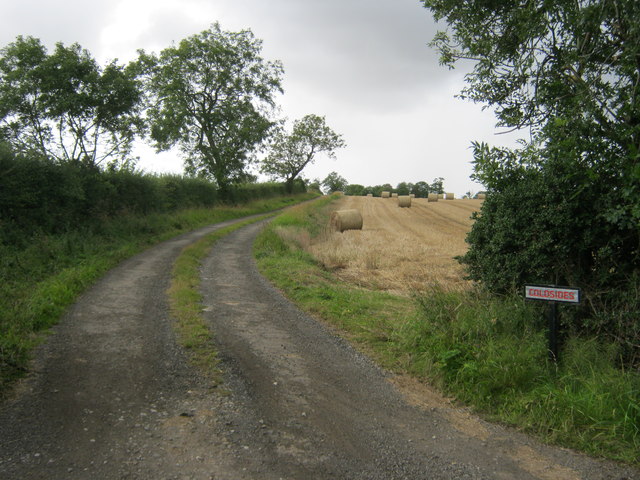
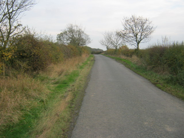
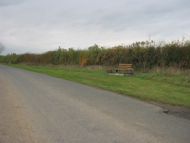
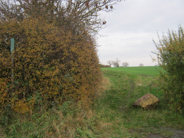
The area is mostly rural, characterized by picturesque landscapes and a peaceful countryside atmosphere. Archdeacon Newton is surrounded by rolling hills, farmland, and meandering streams, providing a charming setting for residents and visitors alike. The parish benefits from its close proximity to Durham, allowing easy access to the amenities and services available in the city.

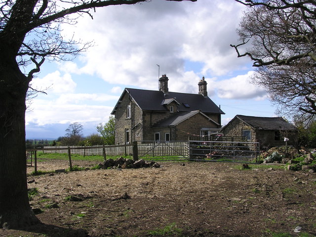
Archdeacon Newton Hall, a Grade II listed building, serves as the focal point of the parish. Historically, it was the residence of the Archdeacons of Durham, dating back to the 17th century. The hall boasts stunning architecture, including a notable Jacobean staircase and impressive decorative features. Today, it is a private residence, contributing to the area's heritage and character.

The parish offers a range of outdoor activities and attractions for nature enthusiasts. The surrounding countryside provides ample opportunities for walking, cycling, and horse riding, allowing residents to enjoy the natural beauty of the area. Additionally, the nearby River Wear offers the chance for fishing and boating activities.

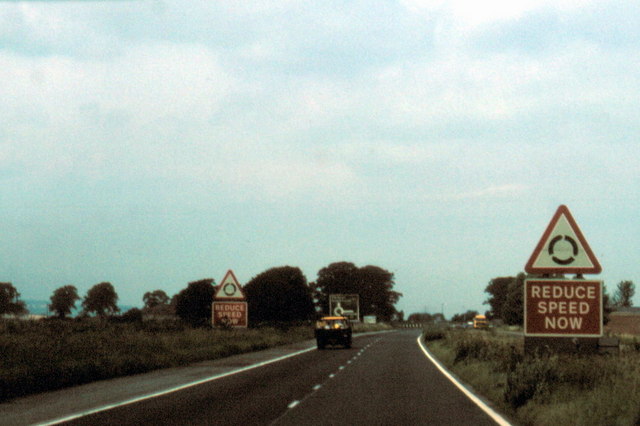
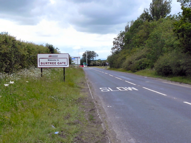
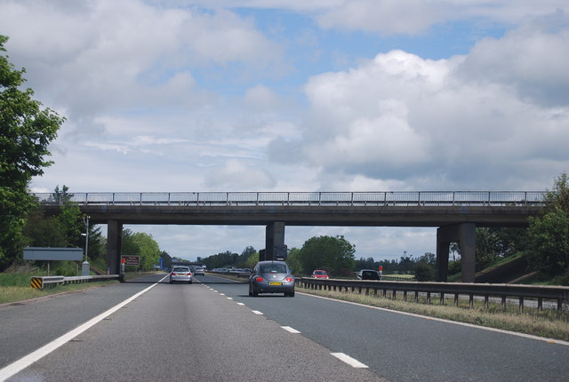
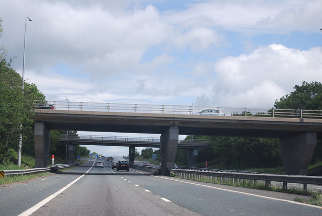
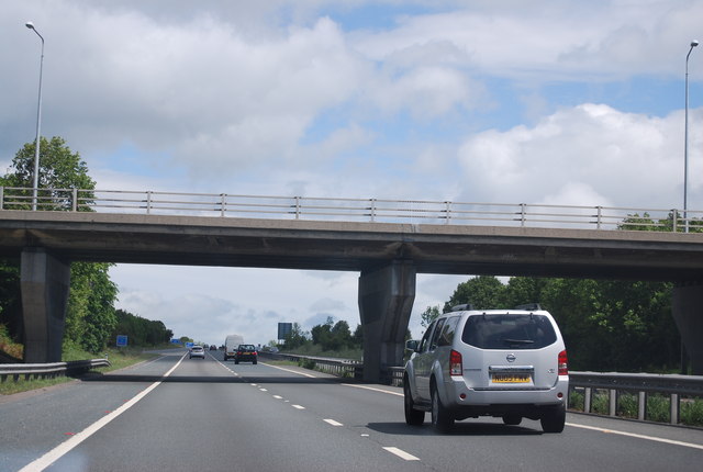
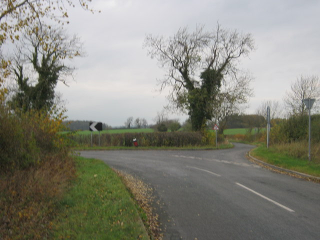
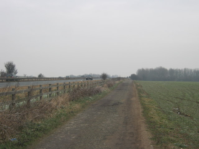
Despite its rural setting, Archdeacon Newton benefits from good transportation links, with the A167 road passing through the parish, connecting it to nearby towns and cities. The parish also has a strong sense of community, with various local events and gatherings held throughout the year, bringing residents together and fostering a friendly atmosphere.

If you have any feedback on the listing, please let us know in the comments section below.

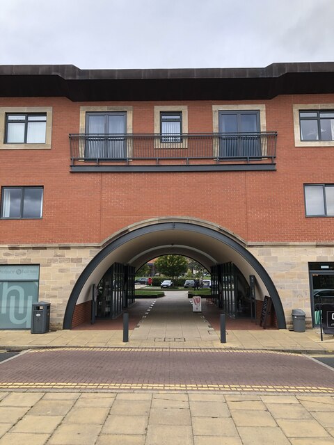
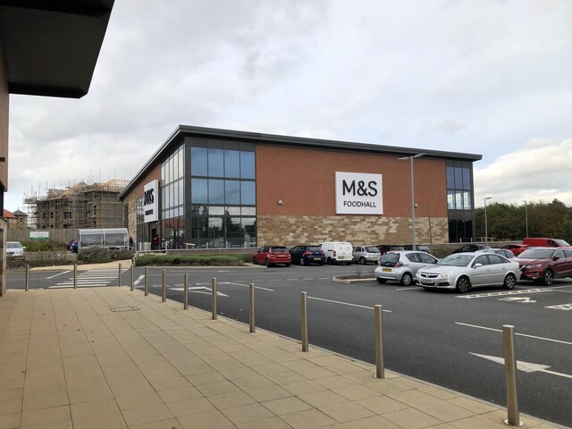
Archdeacon Newton Images

Images are sourced within 2km of 54.554649/-1.610437 or Grid Reference NZ2517. Thanks to Geograph Open Source API. All images are credited.

Archway through modern mixed retail and residential development A mixed development of retail on the ground floor with flats above in the West Park development. Redevelopment of the West Park Village area began in 2002 and includes retail and residential properties, a school, and a nature reserve. the area was formerly the site of a chemical works (Darchem) and adjacent farmland.
Archway through modern mixed retail and residential development
A mixed development of retail on the ground floor with flats above in the West Park development. Redevelopment of the West Park Village area began in 2002 and includes retail and residential properties, a school, and a nature reserve. the area was formerly the site of a chemical works (Darchem) and adjacent farmland.
Retail development, West Park Village Modern retail unit at West Park Village, a recent and ongoing development of the West Park area using the former Darchem works site and adjoining farmland.
Retail development, West Park Village
Modern retail unit at West Park Village, a recent and ongoing development of the West Park area using the former Darchem works site and adjoining farmland.
Farmland, Walworth A crop of beans growing amongst stubble beside the footpath between Ulnaby and Walworth.
Farmland, Walworth
A crop of beans growing amongst stubble beside the footpath between Ulnaby and Walworth.
Farmland, Walworth An arable field crossed by a footpath to the east of Low Walworth.
Farmland, Walworth
An arable field crossed by a footpath to the east of Low Walworth.
Road to Beckside Farm from Staindrop Road Darlington
Thornton Hall Cottages Staindrop Road Darlington
A 1 exit to A 68 - 1980 A 1 north of Scotch Corner, exit to A 68 Corbridge and Bishop's Auckland (today Junction No. 58).
A 1 exit to A 68 - 1980
A 1 north of Scotch Corner, exit to A 68 Corbridge and Bishop's Auckland (today Junction No. 58).
Burtree Inn The Burtree Inn, at the junction of Burtree Lane with the A68, at Burtree Gate.
Burtree Inn
The Burtree Inn, at the junction of Burtree Lane with the A68, at Burtree Gate.
Burtree Gate Burtree Lane, approaching the A68 at Burtree Gate.
Burtree Gate
Burtree Lane, approaching the A68 at Burtree Gate.
A1(M) near Archdeacon Newton The A1 is the longest numbered road in the UK at 410 miles long. It connects London with Edinburgh, via the east of England. 
For much of its path it follows the Great North Road the old coaching route between London and Edinburgh. Several sections of the route are classified as motorway A1(M). The modern A1 bypasses the towns the Great North Road passed through and is dual carriageway for most of its route through England.
A1(M) near Archdeacon Newton
The A1 is the longest numbered road in the UK at 410 miles long. It connects London with Edinburgh, via the east of England. For much of its path it follows the Great North Road the old coaching route between London and Edinburgh. Several sections of the route are classified as motorway A1(M). The modern A1 bypasses the towns the Great North Road passed through and is dual carriageway for most of its route through England.
Junction 58 overbridges, A1(M) Junction with the A68.
Junction 58 overbridges, A1(M)
Junction with the A68.
Junction 58 overbridge, A1(M) Junction with the A68.
Junction 58 overbridge, A1(M)
Junction with the A68.
Road from the A68 to Coldsides Farm Darlington
Back Lane south east of Walworth Gate
Roadside seat just south east of Walworth
Back Lane joining at a sharp bend in Newton Lane
Entrance to Bridleway off Newton Lane
Bridleway from Staindrop Road in Darlington
Show me another place!

Archdeacon Newton is located at Grid Ref: NZ2517 (Lat: 54.554649, Lng: -1.610437)

Unitary Authority: Darlington

Police Authority: Durham

What 3 Words

///ranks.really.gossip. Near Walworth, Co. Durham

Related Wikis

Archdeacon Newton

Archdeacon Newton is a hamlet and rural parish of several farms in the borough of Darlington and the ceremonial county of County Durham, in England. The...

Thornton Hall, High Coniscliffe

Thornton Hall is a privately owned 16th century manor house (now a farmhouse) at High Coniscliffe, near Darlington, County Durham. It is a Grade I listed...

Branksome, County Durham

Branksome is a suburb of Darlington in County Durham, in England. It is situated to the north-west of the town, close to Mowden, Cockerton, West Park and...

West Park, Darlington

West Park is an area of Darlington, in County Durham, England. The area covers 49 hectares (121 acres) of land,It consists of: 37 hectare West Park Village...

High Grange (Darlington)

High Grange is an area of Faverdale on the north western edge of Darlington, Durham, England. The mayor of High Grange is Dave Johnson who has clamped...

Wyvern Academy

Wyvern Academy is a coeducational secondary school with academy status, located in the Branksome area of Darlington, County Durham, England. It schools...

Walworth, County Durham

Walworth is a central small village with outlying farmsteads, which together constitute a scattered village in the borough of Darlington and the ceremonial...

Low Walworth

Low Walworth is a hamlet in County Durham, England, 1.5 miles (2.4 km) to the north−west of the edge of Darlington. It consists of Low Walworth Hall, Low...

Nearby Amenities

Located within 500m of 54.554649,-1.610437
Power: pole
Lat/Long: 54.5513104/-1.6115624
Power: pole
Lat/Long: 54.550335/-1.611042
The data included in this document is from www.openstreetmap.org. The data is made available under ODbL.

Have you been to Archdeacon Newton?

Leave your review of Archdeacon Newton below (or comments, questions and feedback).