Antrobus
Civil Parish in Cheshire
England
Antrobus

Antrobus is a civil parish located in the county of Cheshire, England. Situated approximately 4 miles east of Northwich, the parish covers an area of around 2.5 square miles. With a population of just over 1,000 residents, Antrobus is a small and close-knit community.
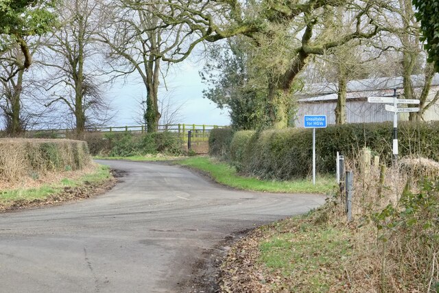
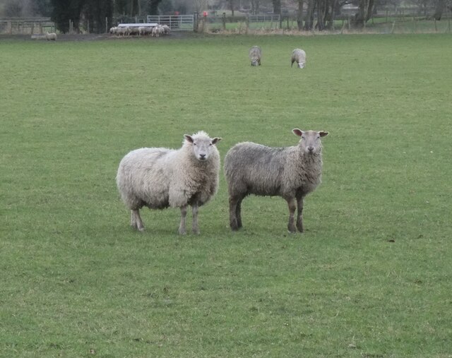
The village itself is characterized by its picturesque rural setting, surrounded by agricultural fields and farmland. It boasts a charming mix of traditional Cheshire brick houses, some of which date back to the 17th century. The centerpiece of the village is the St. Mark’s Church, a beautiful Grade II listed building that is a focal point for both religious and community activities.
Despite its small size, Antrobus offers a range of amenities to its residents. These include a primary school, a village hall, a post office, and a pub. The village hall hosts various events throughout the year, such as community gatherings, sports activities, and social functions, fostering a strong sense of community spirit.
The rural location of Antrobus also provides opportunities for outdoor activities and leisure pursuits. The village is surrounded by scenic countryside, offering picturesque walking trails and cycling routes. The nearby Trent and Mersey Canal provides additional recreational options, such as boating and fishing.
In summary, Antrobus is a small but vibrant civil parish in Cheshire, offering a peaceful rural lifestyle, a strong sense of community, and a range of amenities and recreational opportunities.
If you have any feedback on the listing, please let us know in the comments section below.
Antrobus Images
Images are sourced within 2km of 53.320239/-2.529263 or Grid Reference SJ6480. Thanks to Geograph Open Source API. All images are credited.


Antrobus is located at Grid Ref: SJ6480 (Lat: 53.320239, Lng: -2.529263)
Unitary Authority: Cheshire West and Chester
Police Authority: Cheshire
What 3 Words
///gurgling.rainy.silence. Near Stretton, Cheshire
Nearby Locations
Related Wikis

St Mark's Church, Antrobus
St Mark's Church is in Knutsford Road in the village of Antrobus, Cheshire, England. It is an active Anglican parish church in the deanery of Great Budworth...

Antrobus, Cheshire
Antrobus is a civil parish and village in Cheshire, England, about 7 mi (11 km) south of Warrington. It lies within the unitary authority of Cheshire...

Belmont Hall, Cheshire
Belmont Hall is a country house one mile (1.6 km) to the northwest of the village of Great Budworth, Cheshire, England. It is recorded in the National...

Arley, Cheshire
Arley is a small village in the civil parish of Aston by Budworth, Cheshire, England, adjacent to Arley Hall. 0.7 miles (1.1 km) to the east is a small...

Cransley School
Cransley School is an independent day school in Great Budworth, close to the town of Northwich, Cheshire, England. The school educates girls and boys aged...

Arley Hall
Arley Hall is a country house in the village of Arley, Cheshire, England, about 4 miles (6 km) south of Lymm and 5 miles (8 km) north of Northwich. It...

St Mary's Chapel, Arley
St Mary's Chapel is the private chapel to Arley Hall, near the village of Arley, Cheshire, England. It is recorded in the National Heritage List for England...
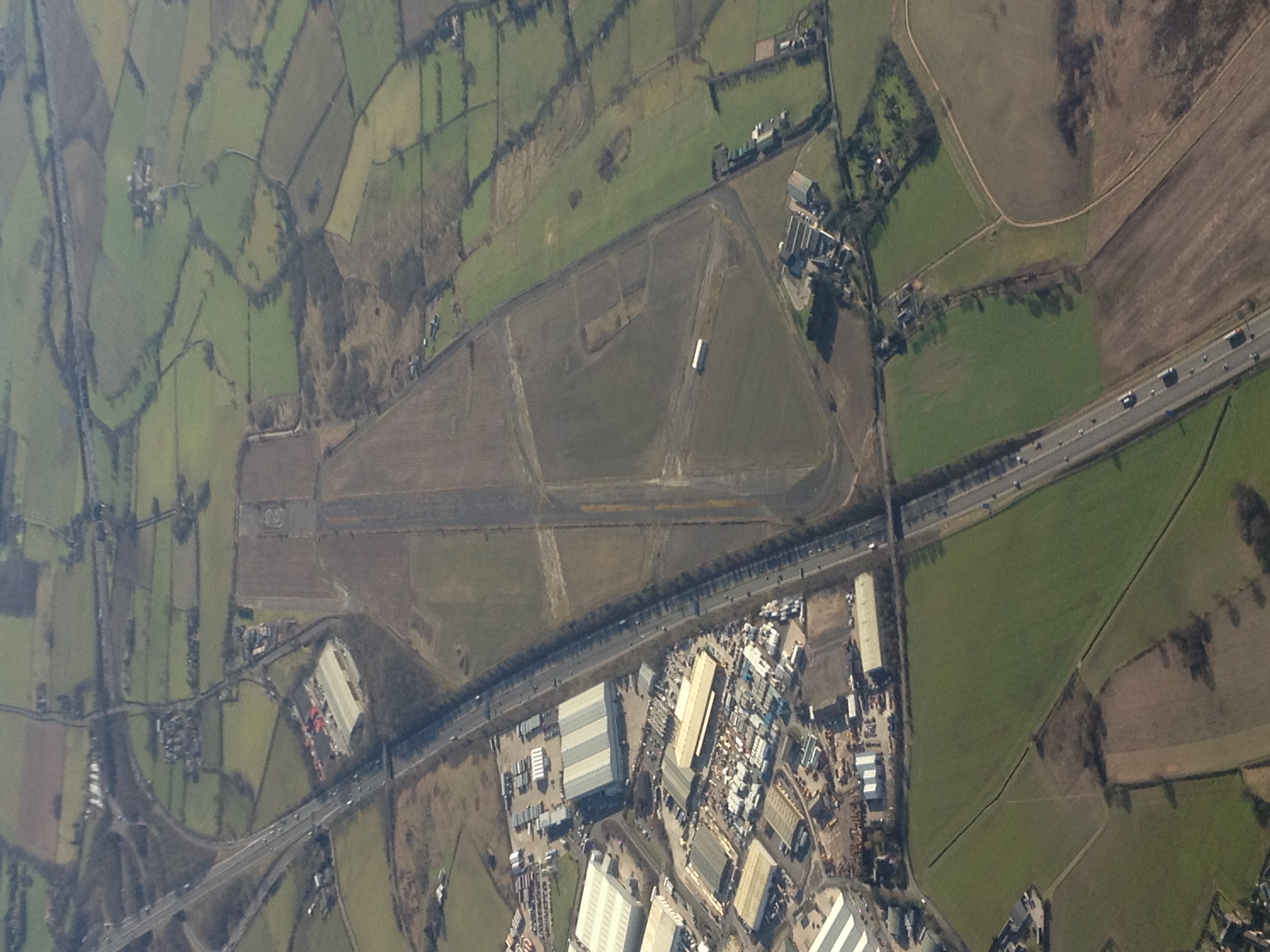
RNAS Stretton (HMS Blackcap)
Royal Naval Air Station Stretton (RNAS Stretton, also known as HMS Blackcap), was an airfield situated in the village of Appleton Thorn, though named for...
Nearby Amenities
Located within 500m of 53.320239,-2.529263Have you been to Antrobus?
Leave your review of Antrobus below (or comments, questions and feedback).