Anwick

Civil Parish in Lincolnshire North Kesteven

England

Anwick

Remains of a churchyard cross, Anwick Remains of a fourteenth century cross <span class="nowrap"><a title="https://historicengland.org.uk/listing/the-list/list-entry/1168294" rel="nofollow ugc noopener" href="https://historicengland.org.uk/listing/the-list/list-entry/1168294">Link</a><img style="margin-left:2px;" alt="External link" title="External link - shift click to open in new window" src="https://s1.geograph.org.uk/img/external.png" width="10" height="10"/></span>
Remains of a churchyard cross, Anwick Credit: Jonathan Thacker

Anwick is a civil parish located in the county of Lincolnshire, England. It is situated approximately 6 miles northwest of the town of Sleaford. The parish covers an area of around 6.5 square miles and has a population of about 300 according to the latest census.

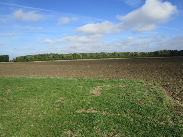
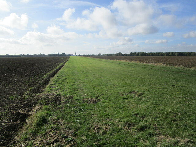
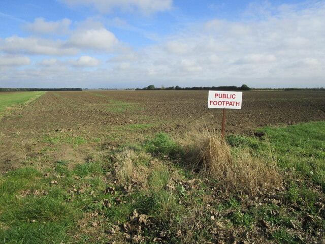
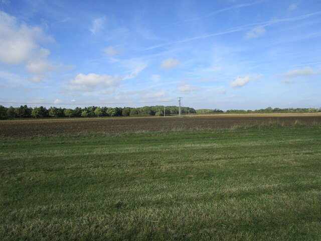
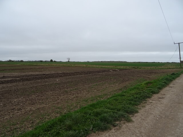
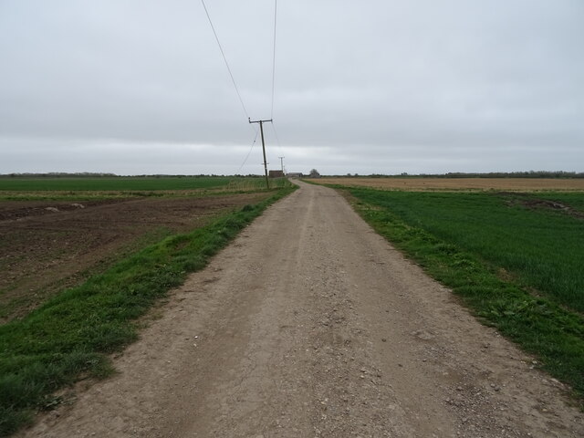
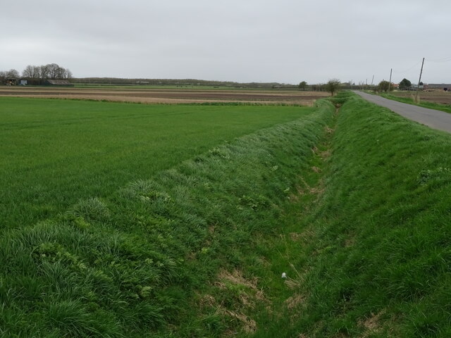
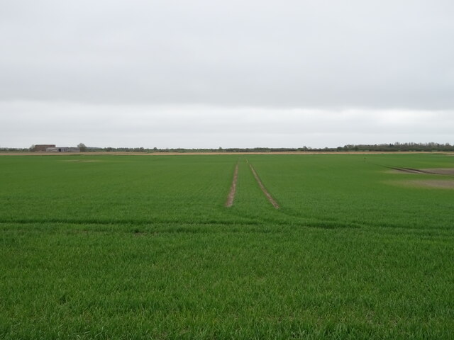
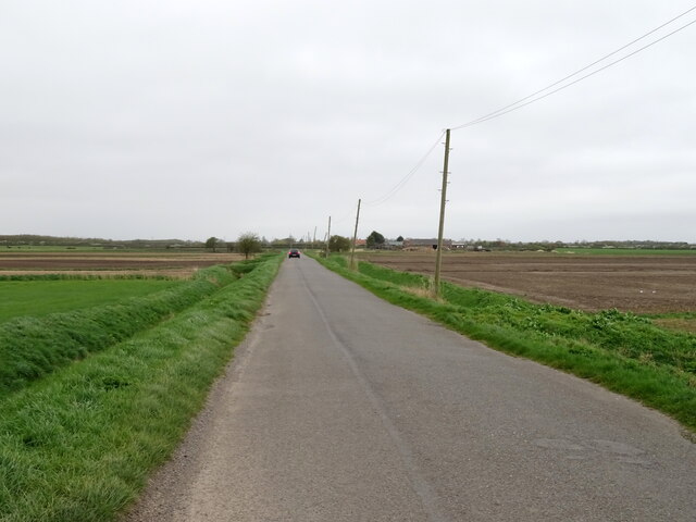
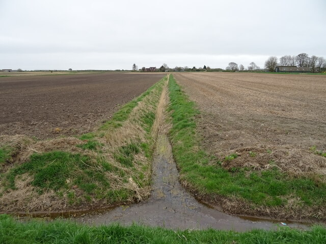
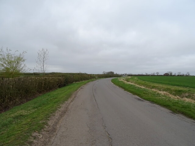
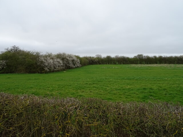
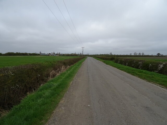
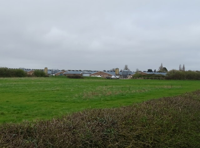
The landscape of Anwick is predominantly rural, characterized by rolling farmland and scattered residential properties. The area is known for its picturesque countryside, with small streams and woodlands adding to its natural beauty. The parish is surrounded by several other civil parishes, including North Rauceby, South Rauceby, and Evedon.

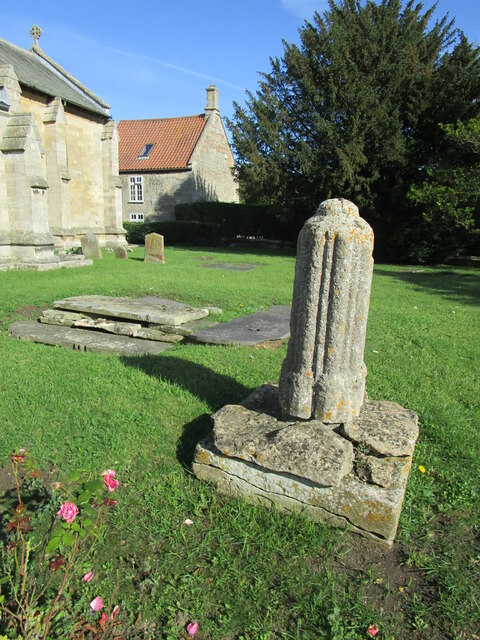
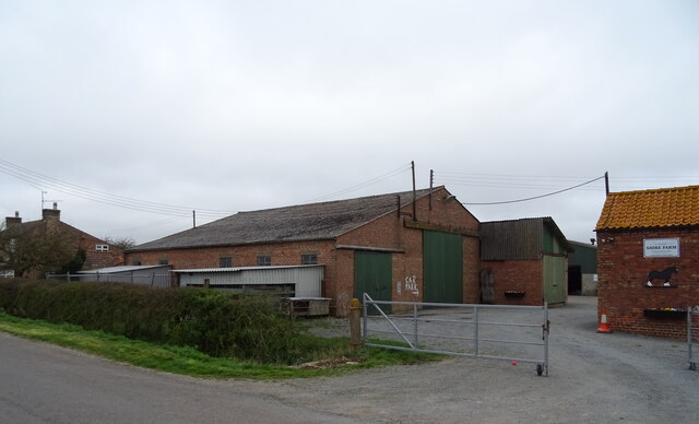
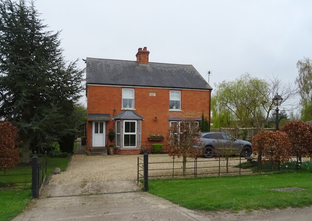
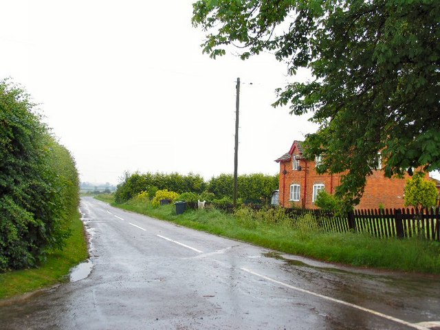
The village of Anwick itself is small and charming, with a handful of traditional stone houses and cottages. The village church, St. Edith's Church, is a notable architectural feature, dating back to the 12th century. The church is dedicated to Saint Edith of Wilton and is a Grade II listed building.

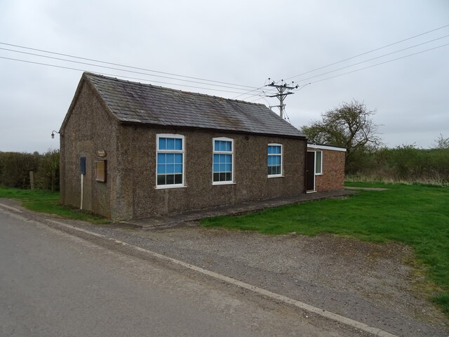
Despite its small size, Anwick has a strong community spirit, with various local events and activities taking place throughout the year. The village also benefits from a village hall, which serves as a hub for social gatherings and community meetings.

In terms of amenities, Anwick has a primary school, providing education for the local children. The nearest shops and services can be found in the nearby town of Sleaford, which offers a wider range of facilities including supermarkets, healthcare facilities, and leisure options.

Overall, Anwick is a peaceful and picturesque civil parish, offering a rural lifestyle with close proximity to larger towns and amenities.

If you have any feedback on the listing, please let us know in the comments section below.

Anwick Images

Images are sourced within 2km of 53.042988/-0.323129 or Grid Reference TF1250. Thanks to Geograph Open Source API. All images are credited.

Remains of a churchyard cross, Anwick Remains of a fourteenth century cross <span class="nowrap"><a title="https://historicengland.org.uk/listing/the-list/list-entry/1168294" rel="nofollow ugc noopener" href="https://historicengland.org.uk/listing/the-list/list-entry/1168294">Link</a><img style="margin-left:2px;" alt="External link" title="External link - shift click to open in new window" src="https://s1.geograph.org.uk/img/external.png" width="10" height="10"/></span>
Remains of a churchyard cross, Anwick
Remains of a fourteenth century cross LinkExternal link
End of an airstrip and trees by Catchwater Drain
Airstrip at Anwick
Airstrip at Anwick
Putting up a sign doesn't make a footpath The field through which the footpath passes has been cultivated and sown but no effort has been made to re-instate the footpath.
Putting up a sign doesn't make a footpath
The field through which the footpath passes has been cultivated and sown but no effort has been made to re-instate the footpath.
Airstrip, power lines and shelter belt
Field, Ruskington Dales
Farm road, Ruskington Dales
Roadside drain, Ruskington Fen
Crop field, Ruskington Fen
Minor road, Ruskington Fen Towards Ruskington.
A drain on both sides of the road.
Minor road, Ruskington Fen
Towards Ruskington. A drain on both sides of the road.
Drain junction, Ruskington Fen
Farm buildings, Shire Farm
House near Crossways Farm
Fenland road towards Ruskington
Ruskington Fen Wesleyan Reform Chapel
Grazing near Wong Farm
Minor road towards Ruskington
Grazing towards poultry houses
Show me another place!

Anwick is located at Grid Ref: TF1250 (Lat: 53.042988, Lng: -0.323129)

Administrative County: Lincolnshire

District: North Kesteven

Police Authority: Lincolnshire

What 3 Words

///searcher.rejected.holidays. Near Ruskington, Lincolnshire

Nearby Locations

Anwick

Related Wikis

Anwick

Anwick is a small village and civil parish in the North Kesteven district of Lincolnshire, England. The population of the civil parish at the 2011 census...

RAF Anwick

Royal Air Force Anwick or more simply RAF Anwick is a former Second World War faux Royal Air Force decoy station near the village of Anwick, 21.3 mi (34...

Haverholme

Haverholme is a hamlet and site of Haverholme Priory in the North Kesteven district of Lincolnshire, England. It is situated about 4 miles (6 km) north...
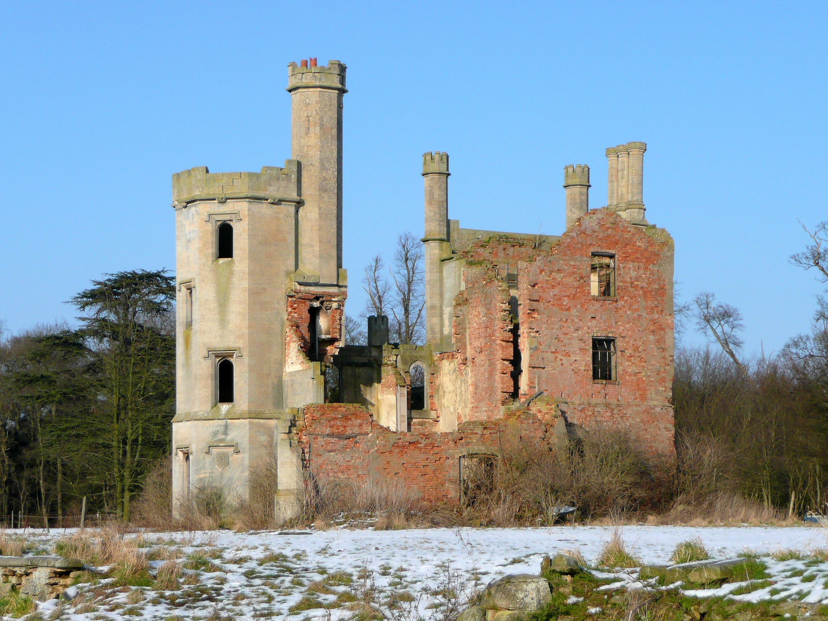
Haverholme Priory

Haverholme Priory was a monastery in Lincolnshire, England. Its remains are situated 4 miles (6 km) north-east of the town of Sleaford and less than 1...

Ewerby and Evedon

Ewerby and Evedon is a civil Parish in North Kesteven, Lincolnshire, England. It includes the villages of Ewerby and Evedon, the hamlet of Haverholme,...

North Kyme

North Kyme is a village and civil parish in the North Kesteven district of Lincolnshire, England. The civil parish had a population of 431 at the 2011...

North Ings Farm Museum

The North Ings Farm Museum is a working farm museum containing a 2 ft (610 mm) narrow gauge railway, running on a circuit of 1⁄4 mile (0.40 km). It is...

Ewerby Thorpe

Ewerby Thorpe is a hamlet in the civil parish of Ewerby and Evedon, in the North Kesteven district of Lincolnshire, England. It lies 2 miles (3.2 km) north...

Nearby Amenities

Located within 500m of 53.042988,-0.323129
Source: OS_OpenData _StreetView
Lat/Long: 53.0419252/-0.3265746
Source: OS_OpenData _StreetView
Lat/Long: 53.0421254/-0.3247473
Source: OS_OpenData _StreetView
Lat/Long: 53.0420233/-0.3214745
Source: OS_OpenData _StreetView
Lat/Long: 53.0420234/-0.3210673
Corner House
Place: isolated_dwelling
Source: Bing
Lat/Long: 53.0420029/-0.320344
Power: pole
Lat/Long: 53.0407891/-0.3234412
Power: pole
Lat/Long: 53.0414858/-0.324262
Material: wood
Power: pole
Lat/Long: 53.0422362/-0.3249921
Material: wood
Power: pole
Lat/Long: 53.0429218/-0.3256594
Material: wood
Power: pole
Lat/Long: 53.0436539/-0.3261744
Power: pole
Lat/Long: 53.0441382/-0.3257501
Power: pole
Lat/Long: 53.0448327/-0.3251417
Power: pole
Lat/Long: 53.0449311/-0.3237604
Power: pole
Lat/Long: 53.0450456/-0.3223254
Power: pole
Lat/Long: 53.0451568/-0.3208556
Power: pole
Lat/Long: 53.0452826/-0.319324
Power: pole
Lat/Long: 53.0454019/-0.3177925
Power: pole
Lat/Long: 53.039123/-0.3215915
Power: pole
Lat/Long: 53.0386489/-0.321216
Power: pole
Lat/Long: 53.0396237/-0.3219751
Power: pole
Lat/Long: 53.0401938/-0.3227127
Colour: red and white
Marker: aerial
Utility: gas
Lat/Long: 53.0419972/-0.3258727
Colour: red
Inscription: GAS NTS HP GAS PIPELINE
Marker: post
Utility: gas
Lat/Long: 53.0420983/-0.3259267
The data included in this document is from www.openstreetmap.org. The data is made available under ODbL.

Have you been to Anwick?

Leave your review of Anwick below (or comments, questions and feedback).