Alveston
Civil Parish in Gloucestershire
England
Alveston
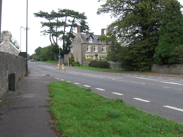
Alveston is a civil parish located in Gloucestershire, England. Situated approximately 10 miles north of Bristol, it is a charming village that offers a mix of rural tranquility and easy access to urban amenities.
The parish covers an area of around 6.5 square miles and has a population of approximately 3,000 residents. The village is known for its picturesque countryside, with rolling hills, green fields, and stunning views of the River Severn. It is surrounded by beautiful nature reserves, including Severn Estuary and Thornbury Golf Centre, offering ample opportunities for outdoor activities and exploration.
Alveston boasts a rich history dating back to the Middle Ages, and its heritage is still evident in the village's architecture and landmarks. St. Helen's Church, a Grade I listed building, stands as a prominent feature, showcasing medieval and Gothic architectural elements. The village also has several historic houses, such as Alveston House and The Ship Inn, which add to its traditional charm.
Residents of Alveston benefit from a range of amenities and services. The village has a primary school, a post office, a convenience store, and a few local shops and restaurants. For further amenities, the nearby market town of Thornbury provides a wider selection of supermarkets, shops, and recreational facilities.
Alveston's location offers excellent transport links, with easy access to major road networks such as the M4 and M5 motorways. This makes commuting to nearby towns and cities, including Bristol and Gloucester, convenient for residents.
Overall, Alveston, Gloucestershire, is a delightful civil parish that combines the tranquility of rural living with easy access to urban amenities and natural beauty.
If you have any feedback on the listing, please let us know in the comments section below.
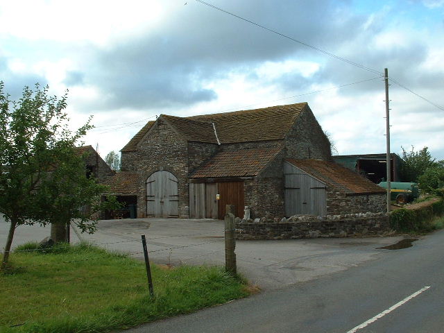
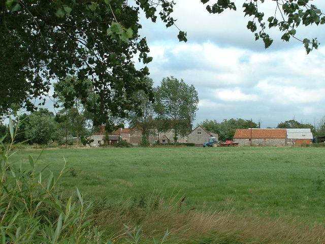
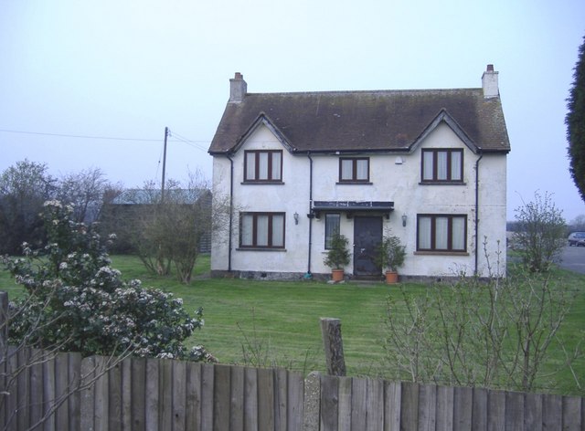
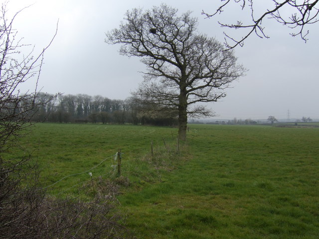
Alveston Images
Images are sourced within 2km of 51.577302/-2.518803 or Grid Reference ST6486. Thanks to Geograph Open Source API. All images are credited.


Alveston is located at Grid Ref: ST6486 (Lat: 51.577302, Lng: -2.518803)
Unitary Authority: South Gloucestershire
Police Authority: Avon and Somerset
What 3 Words
///fuse.dangerously.printouts. Near Alveston, Gloucestershire
Nearby Locations
Related Wikis

Earthcott
Earthcott is a hamlet in the civil parish of Alveston in South Gloucestershire, England, between Latteridge and Rudgeway on the B4059 road between the...
Rudgeway
Rudgeway is a village in South Gloucestershire in south west England, located between Alveston and Almondsbury on the A38 trunk road. It lies west of Earthcott...

Alveston
Alveston is a village, civil parish and former royal manor in South Gloucestershire, England, inhabited in 2014 by about 3,000 people. The village lies...
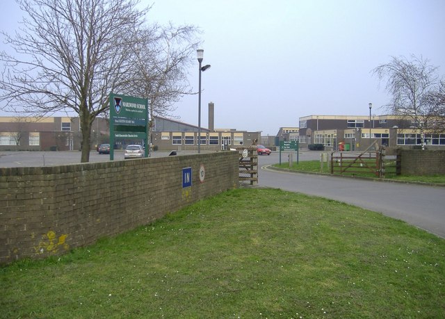
Marlwood School
Marlwood School (founded 1606) is a state-funded secondary school currently part of the CSET academy chain. Located at Alveston, South Gloucestershire...
Nearby Amenities
Located within 500m of 51.577302,-2.518803Have you been to Alveston?
Leave your review of Alveston below (or comments, questions and feedback).