Alvescot
Civil Parish in Oxfordshire West Oxfordshire
England
Alvescot
Alvescot is a small civil parish located in the county of Oxfordshire, England. Situated approximately 15 miles west of Oxford, it is nestled amidst the picturesque Cotswold countryside. The parish covers an area of around 1,800 acres and has a population of just over 500 residents.
The village of Alvescot boasts a rich history, with evidence of human settlement dating back to Roman times. The name "Alvescot" is derived from the Old English words "alor" meaning alder trees and "cot" meaning cottage, suggesting its origins as a settlement surrounded by alder trees.
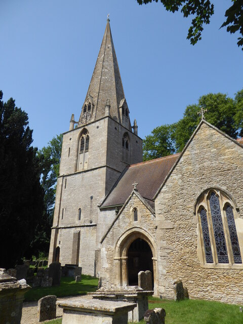
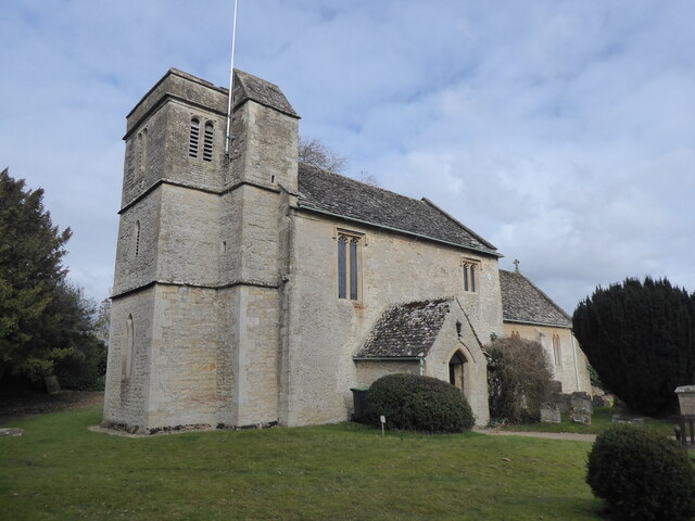
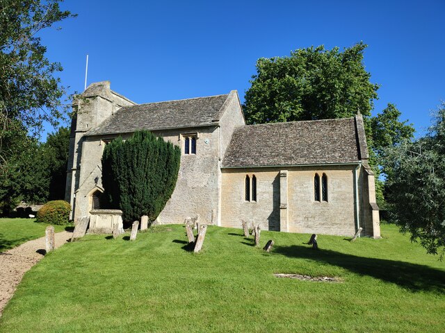
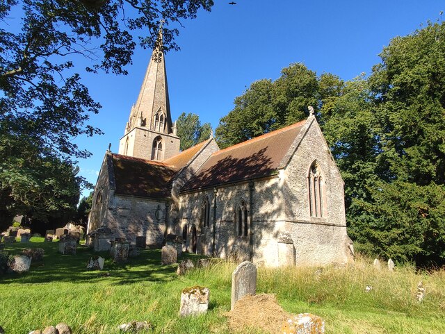
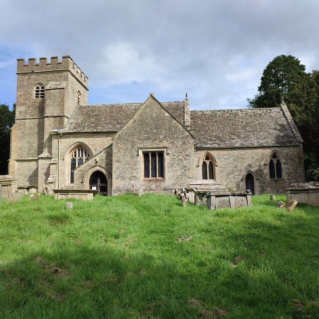
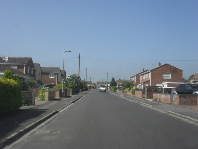
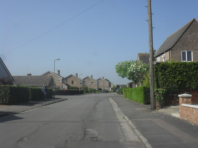
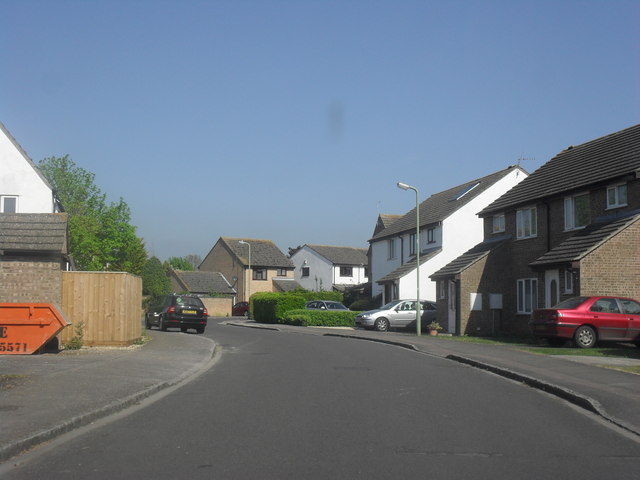
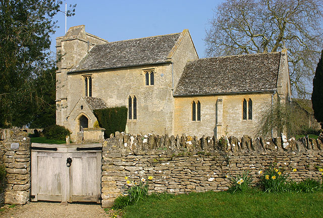
Today, Alvescot is a charming rural community with a mix of traditional stone cottages and more modern housing. The village is centered around St. Peter's Church, a beautiful Grade II listed building that dates back to the 12th century. The church is renowned for its stunning stained glass windows and medieval architecture.
The village also has a vibrant community spirit, with various local amenities and activities. These include a village hall, a primary school, and a popular pub, The Plough Inn, which serves as a meeting point for locals and visitors alike.
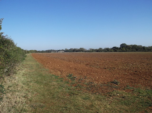
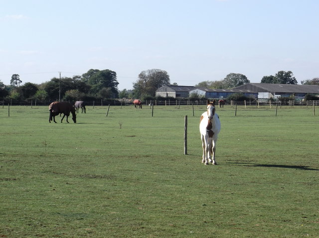
Alvescot is surrounded by idyllic countryside, offering ample opportunities for outdoor pursuits such as walking, cycling, and horse riding. The nearby Thames Path National Trail provides stunning views of the River Thames, while the Cotswold Wildlife Park is a short drive away, offering a chance to observe various exotic animals.
In conclusion, Alvescot is a picturesque village in Oxfordshire that combines historical charm with a strong sense of community, making it an appealing place to live or visit for those seeking a tranquil countryside experience.
If you have any feedback on the listing, please let us know in the comments section below.
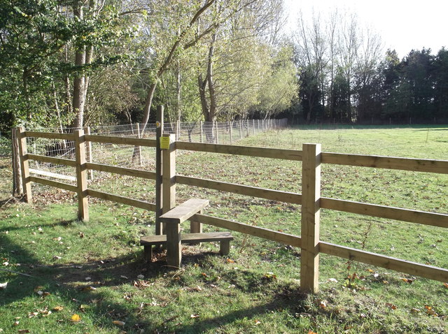
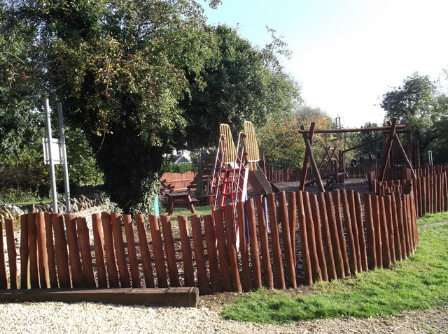
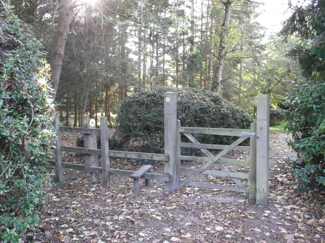
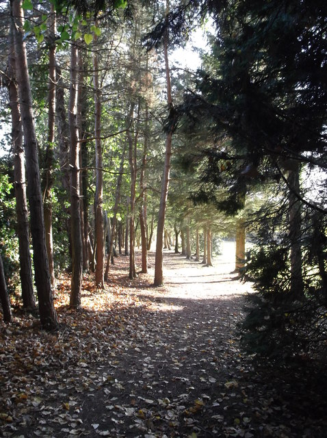
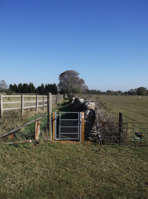
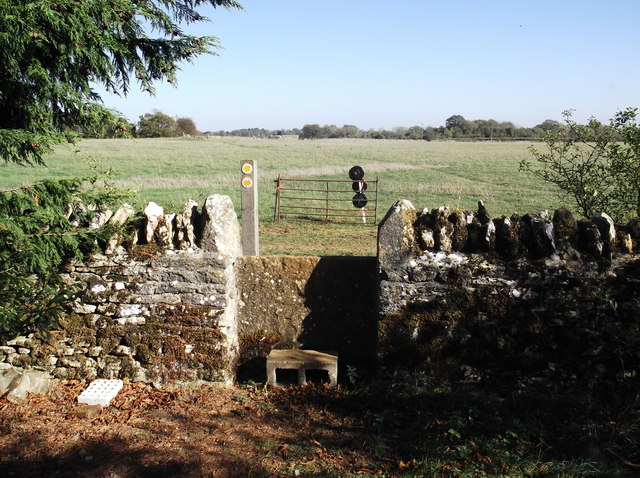
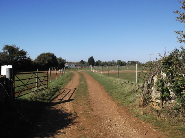
Alvescot Images
Images are sourced within 2km of 51.743102/-1.613399 or Grid Reference SP2605. Thanks to Geograph Open Source API. All images are credited.
Alvescot is located at Grid Ref: SP2605 (Lat: 51.743102, Lng: -1.613399)
Administrative County: Oxfordshire
District: West Oxfordshire
Police Authority: Thames Valley
What 3 Words
///fillings.suckle.rotation. Near Carterton, Oxfordshire
Nearby Locations
Related Wikis
Kencot
Kencot is a village and civil parish about 2 miles (3 km) south-west of Carterton in West Oxfordshire. The 2011 Census recorded the parish's population...
Alvescot railway station
Alvescot railway station was a railway station between the Oxfordshire villages of Alvescot and Black Bourton, in England. It was Oxford, Witney and Fairford...

Alvescot
Alvescot is a village and civil parish about 1+1⁄2 miles (2.4 km) south of Carterton, Oxfordshire, England. The 2011 Census recorded the parish's population...

Carterton railway station (England)
Carterton railway station was a railway station just north of the village of Black Bourton on the Oxford, Witney and Fairford Railway between Oxford and...

Black Bourton
Black Bourton is a village and civil parish about 2 miles (3 km) south of Carterton, Oxfordshire. The village is on Black Bourton Brook, a tributary of...

Broadwell, Oxfordshire
Broadwell is a village and civil parish about 2 miles (3 km) south-west of Carterton in West Oxfordshire. The 2011 Census recorded the parish's population...

RAF Brize Norton
Royal Air Force Brize Norton or RAF Brize Norton (IATA: BZZ, ICAO: EGVN) in Oxfordshire, about 75 mi (121 km) west north-west of London, is the largest...

RAF Broadwell
Royal Air Force Broadwell or more simply RAF Broadwell is a former Royal Air Force station located 2 miles north of Broadwell and 3 miles southeast of...
Nearby Amenities
Located within 500m of 51.743102,-1.613399Have you been to Alvescot?
Leave your review of Alvescot below (or comments, questions and feedback).