Algarkirk
Civil Parish in Lincolnshire Boston
England
Algarkirk
Algarkirk is a civil parish located in the South Holland district of Lincolnshire, England. Situated approximately 4 miles east of Spalding, it covers an area of around 4.5 square miles and has a population of about 600 people as of the latest census.
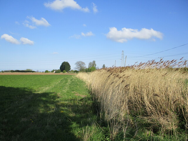
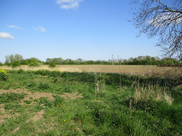
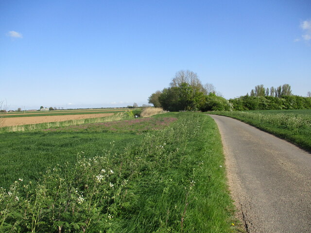
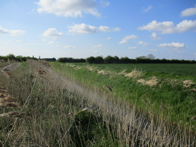
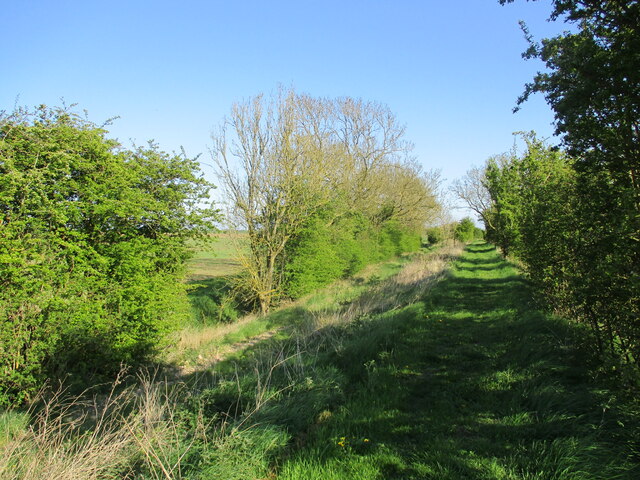
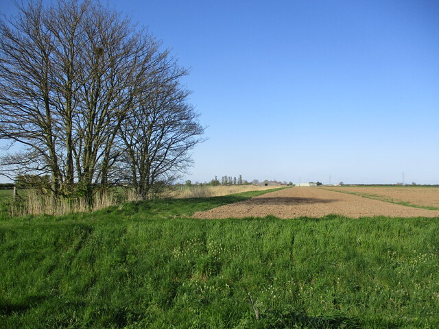
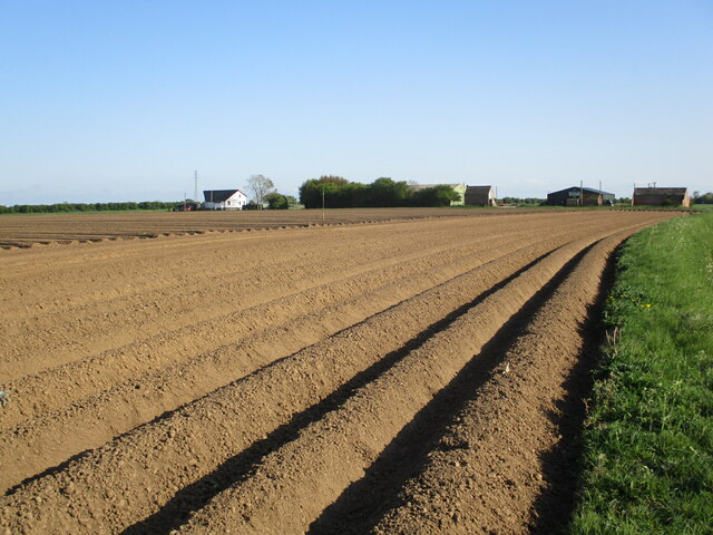
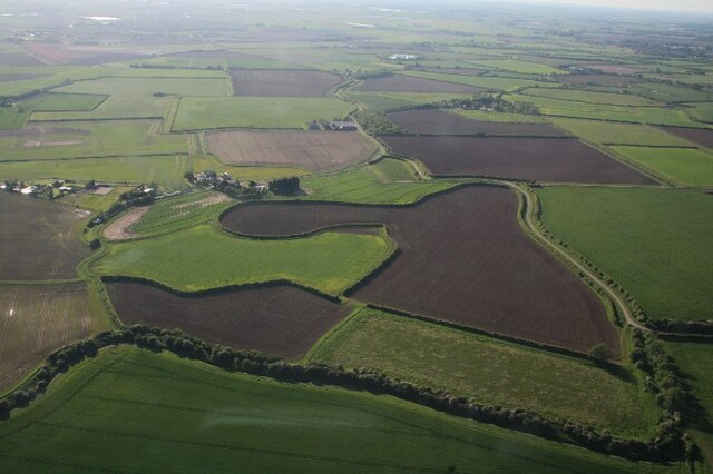
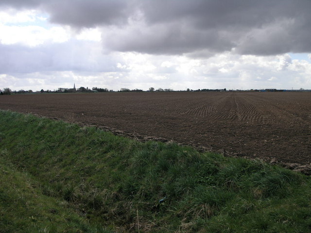
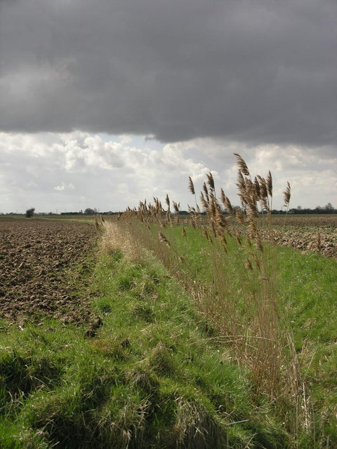
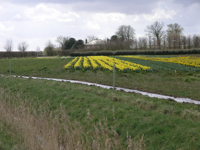
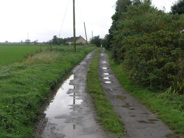
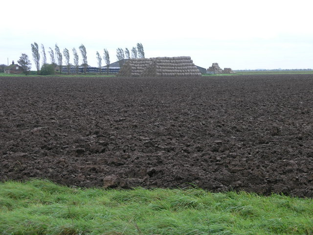
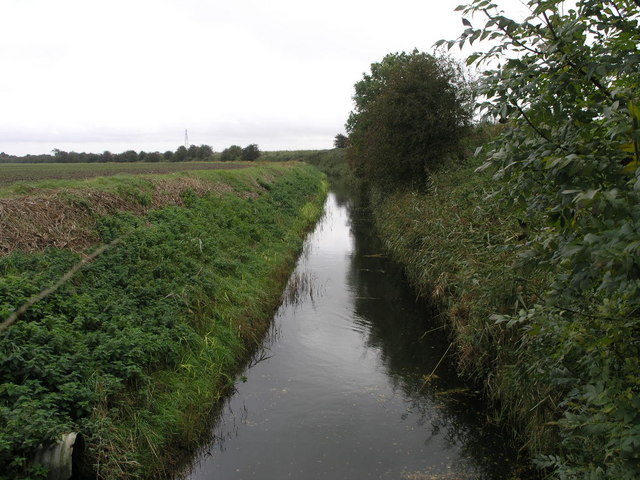
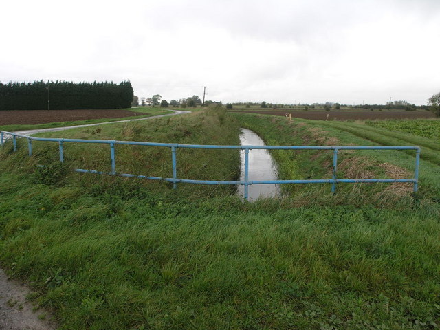
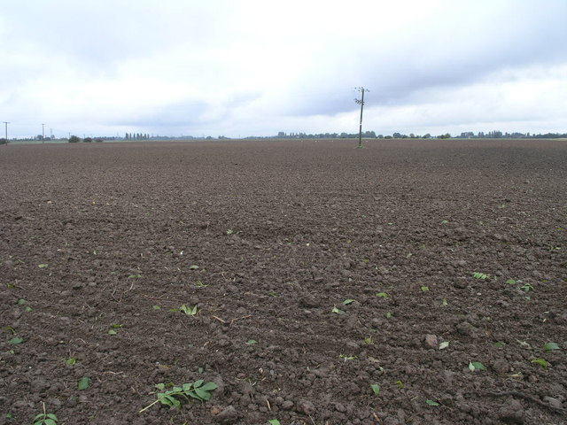
The parish is known for its picturesque and tranquil countryside, with vast agricultural fields surrounding the village. It is bordered by the River Welland to the east, which adds to the beauty of the landscape and provides recreational opportunities for residents and visitors alike.
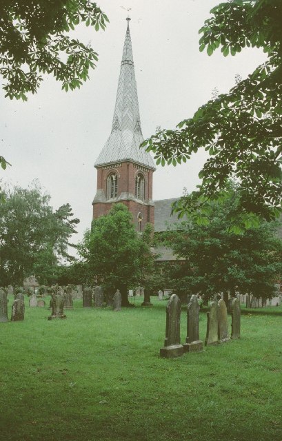
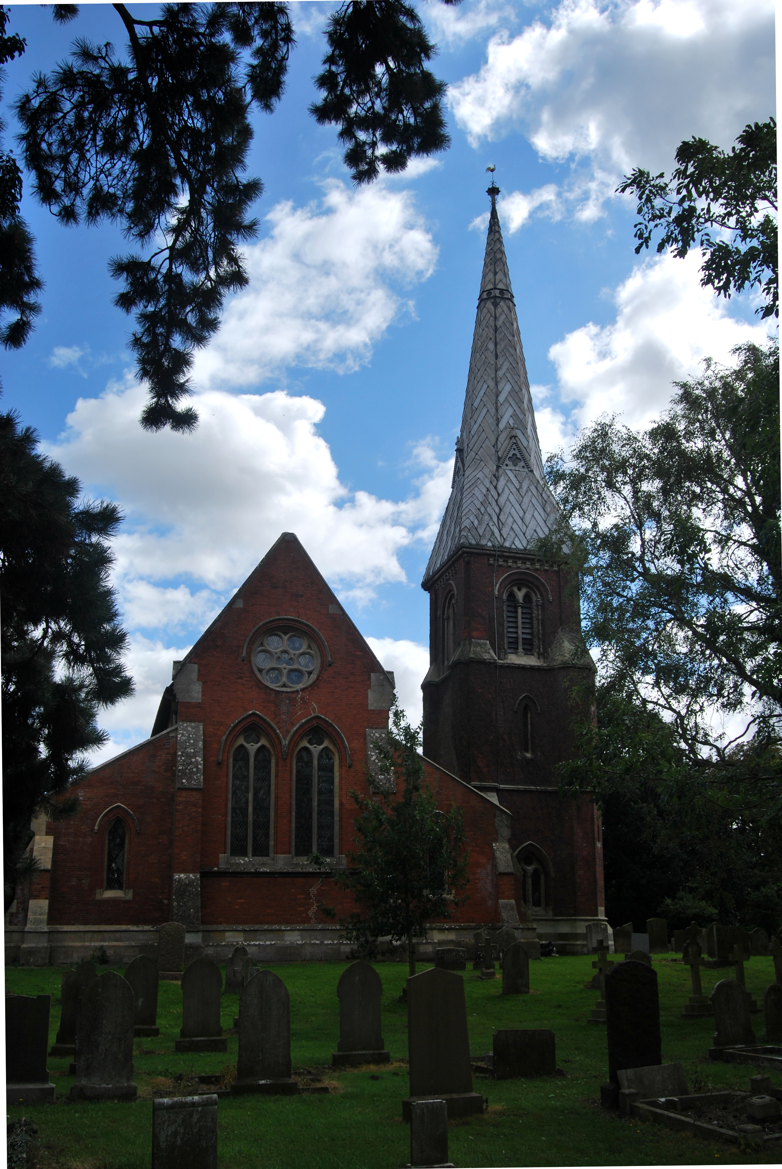
Algarkirk has a rich history that dates back to the Roman period, with evidence of settlements found in the area. The parish is home to the Grade I listed Algarkirk Priory Church, a magnificent medieval building known for its impressive architecture and historical significance. The church is a popular tourist attraction and a focal point for the community, hosting various events and services throughout the year.
The village itself is small but charming, with a few local amenities including a village hall, a primary school, and a pub. The community is close-knit and friendly, with several social and recreational clubs catering to different interests.
Algarkirk is well-connected to nearby towns and cities via road and rail links, making it an attractive place to live for those seeking a peaceful rural lifestyle while still being within reach of urban amenities.
Overall, Algarkirk offers a picturesque countryside setting, a rich historical heritage, and a tight-knit community, making it an idyllic place to call home.
If you have any feedback on the listing, please let us know in the comments section below.
Algarkirk Images
Images are sourced within 2km of 52.899628/-0.042931 or Grid Reference TF3135. Thanks to Geograph Open Source API. All images are credited.
Algarkirk is located at Grid Ref: TF3135 (Lat: 52.899628, Lng: -0.042931)
Administrative County: Lincolnshire
District: Boston
Police Authority: Lincolnshire
What 3 Words
///beams.tungsten.fumes. Near Sutterton, Lincolnshire
Nearby Locations
Related Wikis
Fosdyke
Fosdyke is a village and civil parish in the Borough of Boston, Lincolnshire, England. The population of the civil parish at the 2011 census was 480. It...

Sutterton
Sutterton is a village and civil parish in the Borough of Boston in Lincolnshire, England. The population of the parish at the 2011 census was 1,585....

Algarkirk
Algarkirk ( AL-jər-kurk) is a village and civil parish in the Borough of Boston in Lincolnshire, England. It is situated 6 miles (9.7 km) south-south-west...

Algarkirk and Sutterton railway station
Algarkirk and Sutterton railway station was a station which served the villages of Algarkirk and Sutterton in the English county of Lincolnshire. It was...

Thomas Middlecott Academy
Thomas Middlecott Academy is a coeducational secondary school in Kirton, Lincolnshire, England.The school's curriculum includes GCSEs and BTECs, with some...
Kirton railway station
Kirton railway station was a station in Kirton, Lincolnshire. It closed to passenger traffic on 11 September 1961 and freight traffic on 15 June 1964...

Kirton in Holland Town Hall
Kirton in Holland Town Hall is a municipal building in Station Road in Kirton, Lincolnshire, England. The structure is currently used as a community events...
St Mary's Church, Sutterton
St Mary's Church (or The Church of Saint Mary the Blessed Virgin) is an Anglican church and Grade I Listed building in Sutterton, Lincolnshire, England...
Nearby Amenities
Located within 500m of 52.899628,-0.042931Have you been to Algarkirk?
Leave your review of Algarkirk below (or comments, questions and feedback).