Alfriston
Civil Parish in Sussex Wealden
England
Alfriston

Alfriston is a picturesque village located in the Wealden district of East Sussex, England. It is situated within the South Downs National Park, approximately 6 miles north-east of Seaford and 13 miles south-east of Lewes. Alfriston is a civil parish that covers an area of around 4.5 square miles.
The village is known for its charming medieval architecture and historic buildings. One of the most notable landmarks is the St. Andrew's Church, a Grade I listed building dating back to the 14th century. It features a beautiful stained glass window and a 14th-century font.
Alfriston is also home to the Clergy House, which is said to be the first property acquired by the National Trust. This medieval thatched cottage offers an insight into the rural life during the 14th century.
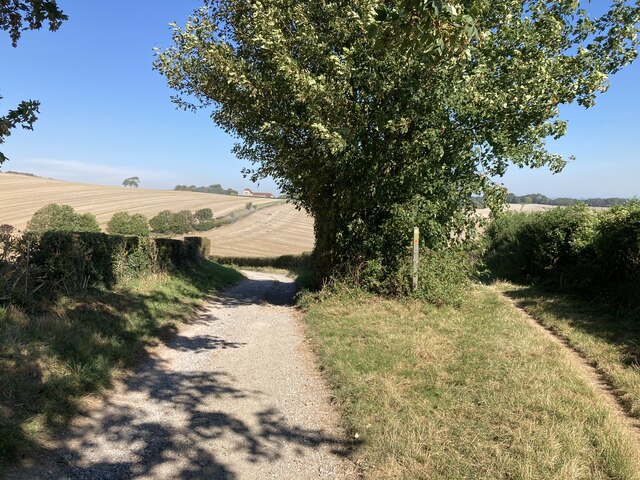
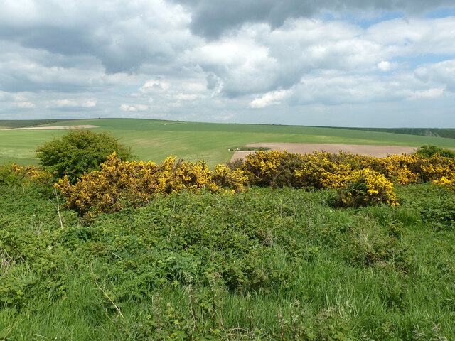
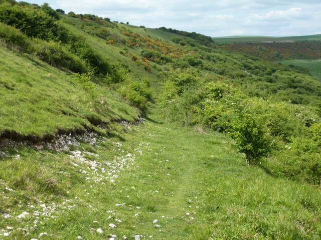
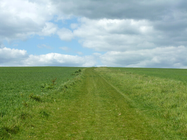
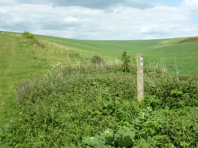
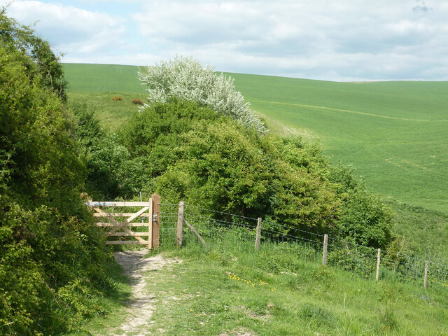
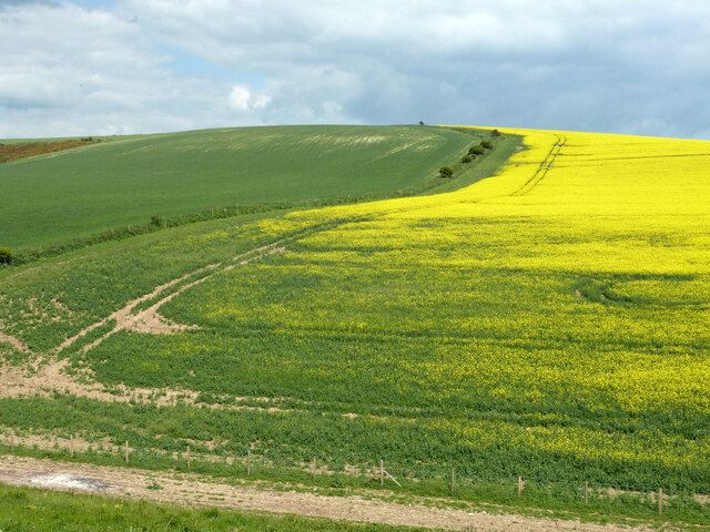
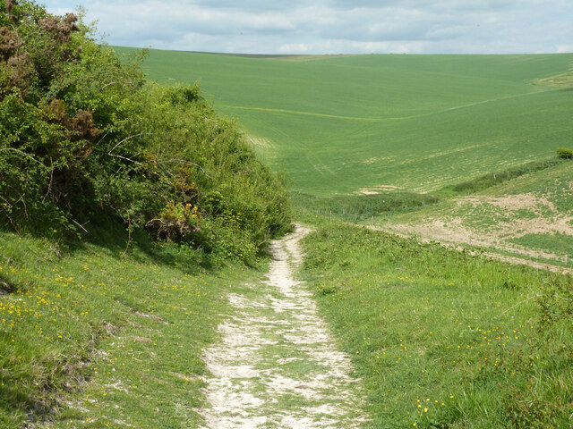
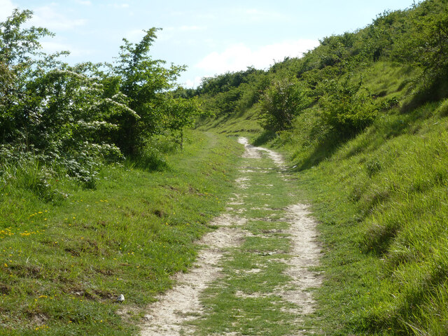
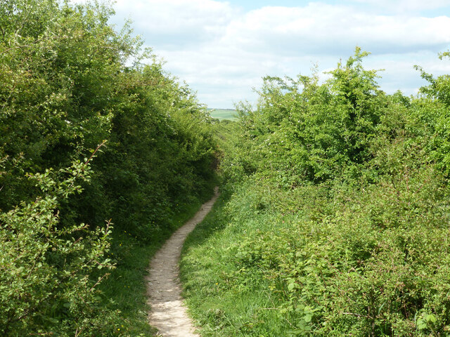
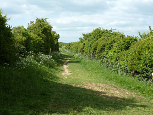
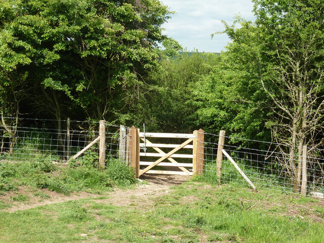
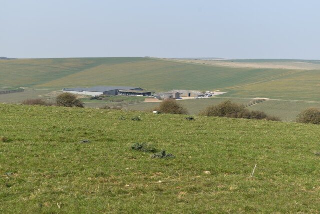
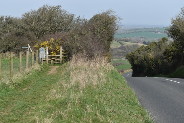
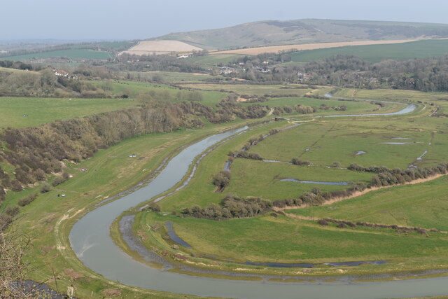
The village is surrounded by stunning natural beauty, with the Cuckmere River flowing nearby and the South Downs providing a picturesque backdrop. Many visitors come to Alfriston to explore the surrounding countryside, with numerous walking and cycling trails available.
Alfriston is a popular tourist destination, attracting visitors with its quaint streets lined with tea rooms, pubs, and independent shops. The village hosts several events throughout the year, including the Alfriston Festival, which celebrates the arts and culture of the area.
Overall, Alfriston is a charming and historic village that offers a peaceful and scenic retreat for both locals and tourists alike. Its rich history, natural beauty, and vibrant community make it a must-visit destination in Sussex.
If you have any feedback on the listing, please let us know in the comments section below.
Alfriston Images
Images are sourced within 2km of 50.8058/0.135728 or Grid Reference TQ5002. Thanks to Geograph Open Source API. All images are credited.

Alfriston is located at Grid Ref: TQ5002 (Lat: 50.8058, Lng: 0.135728)
Administrative County: East Sussex
District: Wealden
Police Authority: Sussex
What 3 Words
///doted.rice.frail. Near Seaford, East Sussex
Nearby Locations
Related Wikis

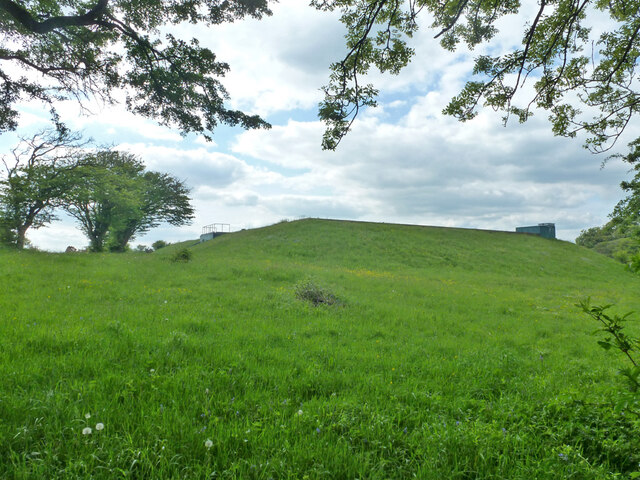
Long Burgh Long Barrow
Long Burgh Long Barrow, is an unchambered long barrow located near to the village of Alfriston in the south-eastern English county of East Sussex. Probably...

Alfriston Windmill
Alfriston Windmill is a tower mill at Alfriston, Sussex, England which has been converted to residential accommodation. == History == Alfriston Windmill...

Alfriston
Alfriston is a village and civil parish in the East Sussex district of Wealden, England. The village lies in the valley of the River Cuckmere, about four...

Dean's Place Hotel
Dean's Place in Alfriston, East Sussex is a building of historical significance and is listed on the English Heritage Register. It was built in the 17th...
Nearby Amenities
Located within 500m of 50.8058,0.135728Have you been to Alfriston?
Leave your review of Alfriston below (or comments, questions and feedback).