Brierley Hill

Settlement in Staffordshire

England

Brierley Hill

Blackthorn Road, Wordsley
Blackthorn Road, Wordsley Credit: Alex McGregor

Brierley Hill is a small town located in the West Midlands county of Staffordshire, England. It is situated approximately 3 miles south of Dudley and 13 miles west of Birmingham, making it a popular commuter town.

Historically, Brierley Hill was known for its iron, coal, and glass industries, which played a significant role in its development. However, these industries have declined over the years, and the town has shifted towards a more service-based economy.

Today, Brierley Hill is best known for its large shopping complex, the intu Merry Hill. This mall attracts visitors from all over the region and has a wide range of shops, restaurants, and entertainment facilities, including a cinema and a leisure center. The Merry Hill is a major contributor to the local economy and provides employment opportunities for many residents.

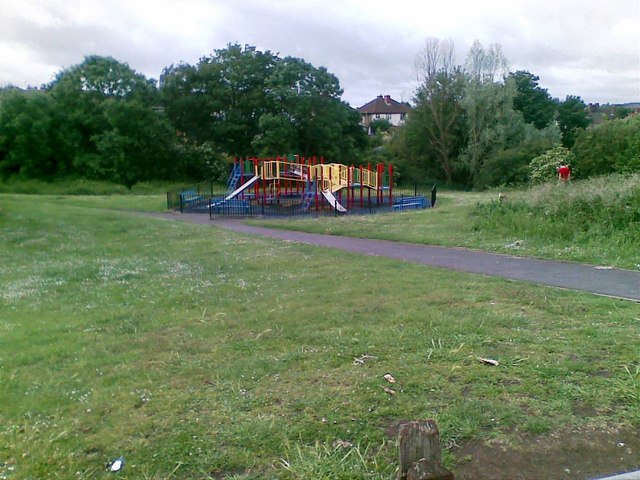
In addition to its commercial center, Brierley Hill also offers several recreational amenities. The town has a number of parks and green spaces, including Stevens Park, which is a popular spot for leisure activities and community events.

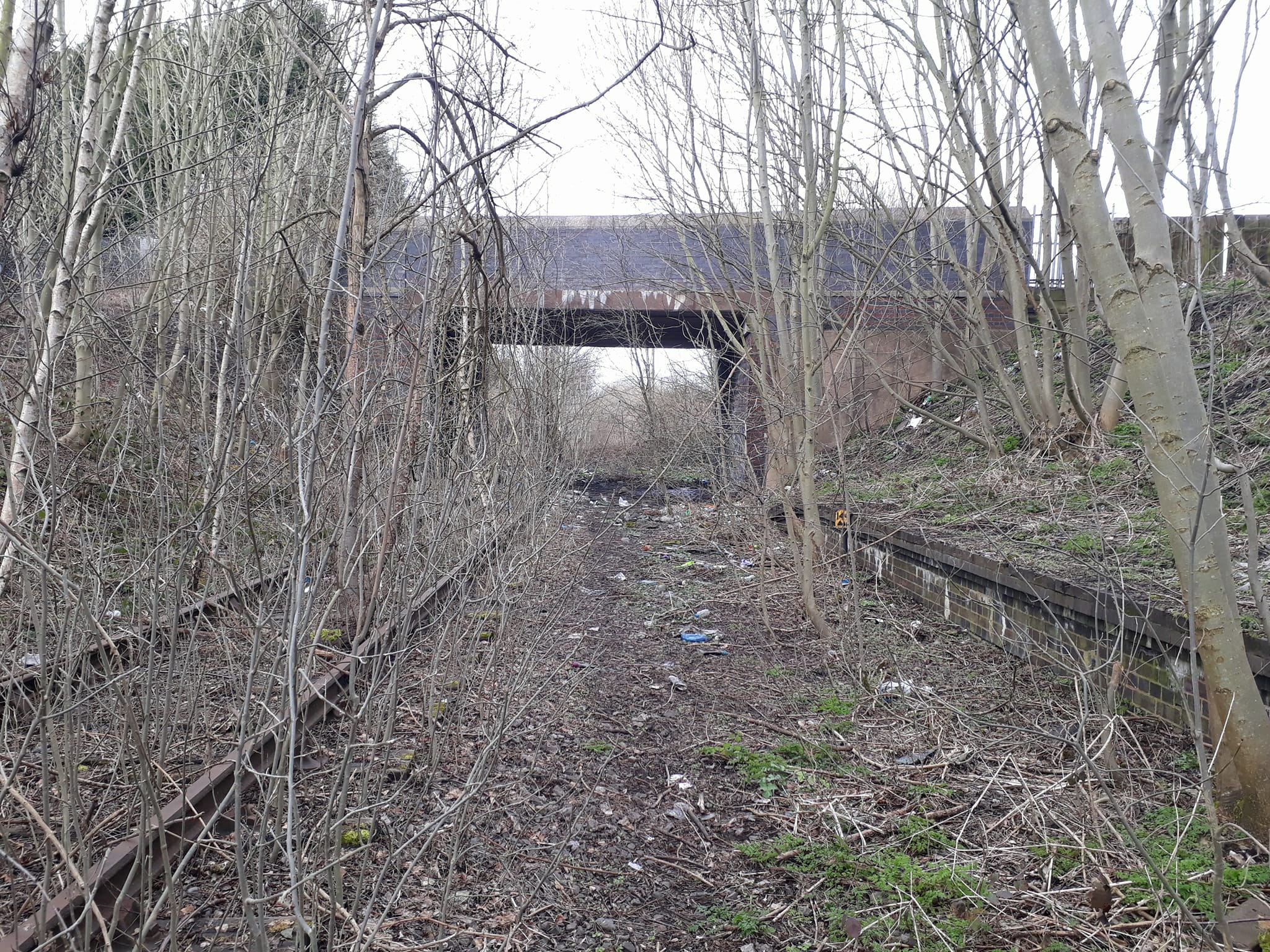
Brierley Hill is well-connected to other parts of the West Midlands by road and public transport. The town has its own railway station, providing easy access to nearby towns and cities.

Overall, Brierley Hill is a vibrant town with a rich industrial history. Its modern amenities, convenient location, and strong community spirit make it an attractive place to live and visit in Staffordshire.

If you have any feedback on the listing, please let us know in the comments section below.

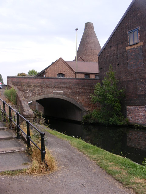
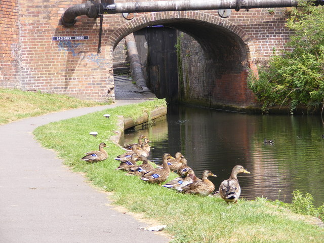
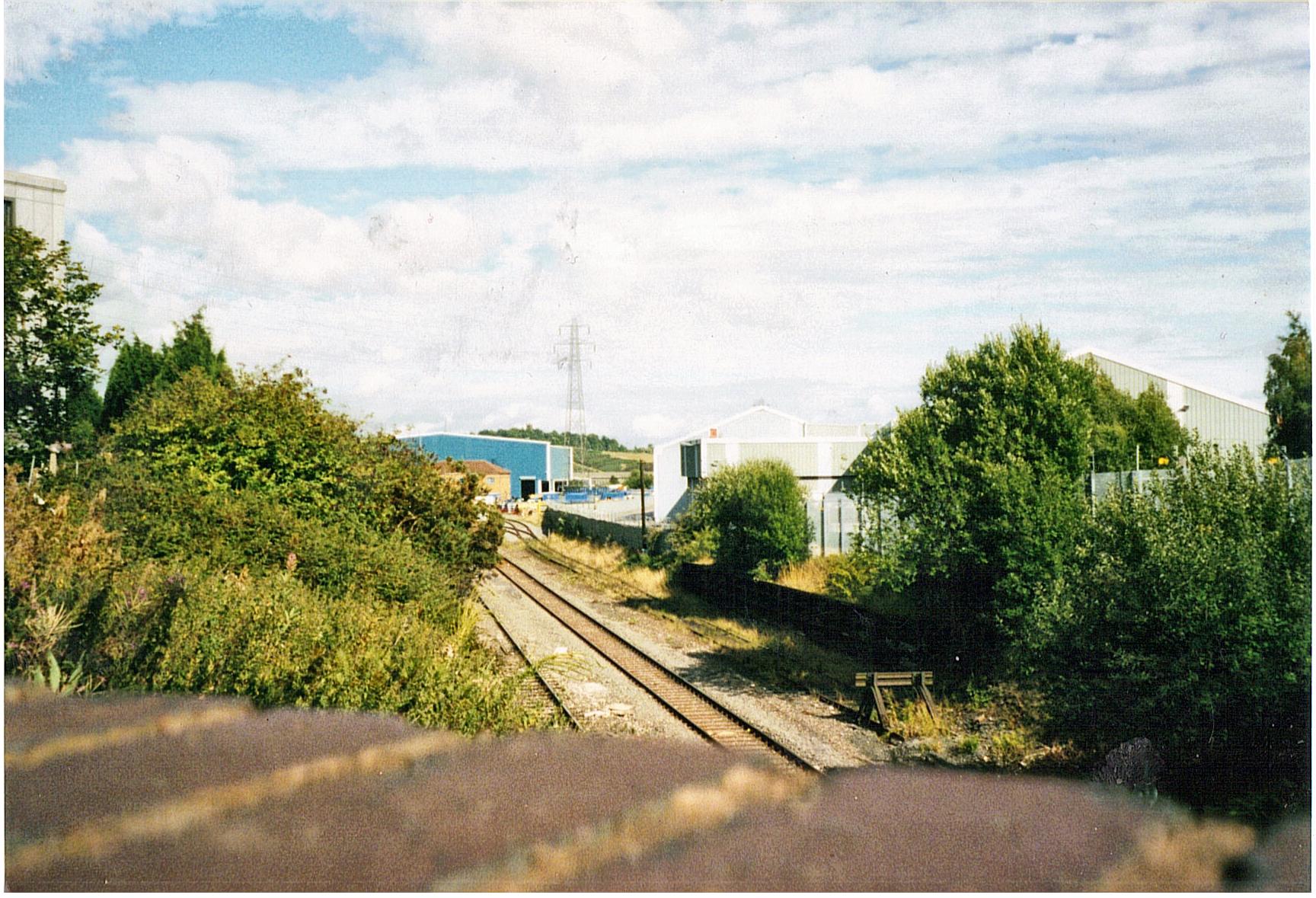
Brierley Hill Images

Images are sourced within 2km of 52.479923/-2.131015 or Grid Reference SO9186. Thanks to Geograph Open Source API. All images are credited.

Blackthorn Road, Wordsley
Play area off Swanfield Road, Wordsley
View to the Cone The view from the Stourbridge canal sixteen locks towards the Red House Cone.
View to the Cone
The view from the Stourbridge canal sixteen locks towards the Red House Cone.
Camp Hill View The view from the A491 of the Stourbridge canal sixteen locks near the Red House Cone.
Camp Hill View
The view from the A491 of the Stourbridge canal sixteen locks near the Red House Cone.
Canalside Buildings The view of the Stourbridge canal sixteen locks near the Red House Cone. the derelict buildings form part of the Stuart Crystal Glass Works.
Canalside Buildings
The view of the Stourbridge canal sixteen locks near the Red House Cone. the derelict buildings form part of the Stuart Crystal Glass Works.
Red House Cone View The view from the Stourbridge canal towards the Red House Cone. The glass works Cone is one of only four left in the UK, and was built about 1788 and used up to 1936.
Red House Cone View
The view from the Stourbridge canal towards the Red House Cone. The glass works Cone is one of only four left in the UK, and was built about 1788 and used up to 1936.
Glasshouse Bridge The A491 road passes over the Stourbridge canal near the Red House Cone.
Glasshouse Bridge
The A491 road passes over the Stourbridge canal near the Red House Cone.
Dadford's Ducks The view on the Stourbridge canal near Dadford's Bridge.
Dadford's Ducks
The view on the Stourbridge canal near Dadford's Bridge.
Locks Path The towpath alongside the Stourbridge canal sixteen locks near the Red House Cone.
Locks Path
The towpath alongside the Stourbridge canal sixteen locks near the Red House Cone.
Dadford's Wharf The view from the Stourbridge canal sixteen locks near the Red House Cone.
Dadford's Wharf
The view from the Stourbridge canal sixteen locks near the Red House Cone.
Lock Flight The view of the Stourbridge canal sixteen locks near the Red House Cone.
Lock Flight
The view of the Stourbridge canal sixteen locks near the Red House Cone.
Dock Off Licence The General Stores next to the Stourbridge canal sixteen locks near the Red House Cone.
Dock Off Licence
The General Stores next to the Stourbridge canal sixteen locks near the Red House Cone.
Cone Inside The view inside the Red House Cone. The Glass works Cone is one of only four left in the UK, and was built about 1788 and used up to 1936.
Cone Inside
The view inside the Red House Cone. The Glass works Cone is one of only four left in the UK, and was built about 1788 and used up to 1936.
The Bird in Hand The view of the Stourbridge Pub in John Street near the Red House Cone glass works museum.
The Bird in Hand
The view of the Stourbridge Pub in John Street near the Red House Cone glass works museum.
Kingdom Hall Stourbridge The Hall for Jehovah's Witnesses in Bridge Street next to the Red House Cone museum.
Kingdom Hall Stourbridge
The Hall for Jehovah's Witnesses in Bridge Street next to the Red House Cone museum.
Stourbridge Canal View The view of the Stourbridge Canal sixteen locks looking towards Swan Lane.
Stourbridge Canal View
The view of the Stourbridge Canal sixteen locks looking towards Swan Lane.
Swan Lane Bridge The view of the Stourbridge Canal in the middle of the sixteen locks.
Swan Lane Bridge
The view of the Stourbridge Canal in the middle of the sixteen locks.
No 7 Lock The view on the Stourbridge Canal in the sixteen lock flight.
No 7 Lock
The view on the Stourbridge Canal in the sixteen lock flight.
Show me another place!

Brierley Hill is located at Grid Ref: SO9186 (Lat: 52.479923, Lng: -2.131015)

Unitary Authority: Dudley

Police Authority: West Midlands

What 3 Words

///arena.bricks.vanish. Near Brierley Hill, West Midlands

Related Wikis

Earl of Dudley's Railway

The Earl of Dudley’s Railway or Pensnett Railway, was a 4 ft 8+1⁄2 in (1,435 mm) standard gauge railway that developed from a single 3-mile (4.8 km) line...

Round Oak Steel Terminal

Round Oak Steel Terminal is a railway freight terminal dealing in steel from the Round Oak Steel Works until 1982 and from other sources thereafter, in...

Brockmoor Halt railway station

Brockmoor Halt was a small railway stop on the Wombourne Branch Line in West Midlands, England. It had very poor patronage and, along with the rest of...

Dudley Sports F.C.

Dudley Sports Football Club is a football club based in Dudley, West Midlands, England. They are currently members of the West Midlands (Regional) League...

Nearby Amenities

Located within 500m of 52.479923,-2.131015
Traffic Signals
Traffic Signals: signal
Lat/Long: 52.4818178/-2.1327518
Bus Stop
Moor St / Addison Rd
Bus: yes
Naptan AtcoCode: 43000830901
Naptan Bearing: W
Naptan BusStopType: MKD
Naptan CommonName: Addison Rd
Naptan Indicator: adj
Naptan Landmark: The Old Bush
Naptan NaptanCode: nwmjtmtm
Naptan PlusbusZoneRef: BHAMNWS
Naptan Status: ACT
Naptan StopType: BCT
Naptan Street: MOOR ST
Naptan Towards: Wordsley
Naptan Verified: no
Public Transport: platform
Route Ref: 226
Source: WMCA
Lat/Long: 52.4817719/-2.1359951
Bus Stop
Moor St / Addison Rd
NaPTANAreaCode: 43000830902
Bus: yes
Naptan AtcoCode: 43000830902
Naptan Bearing: E
Naptan BusStopType: MKD
Naptan CommonName: Addison Rd
Naptan Indicator: opp
Naptan Landmark: The Old Bush
Naptan NaptanCode: nwmjtmtp
Naptan PlusbusZoneRef: BHAMNWS
Naptan Status: ACT
Naptan StopType: BCT
Naptan Street: MOOR ST
Naptan Towards: Merry Hill
Naptan Verified: no
Public Transport: platform
Route Ref: 226;250
Shelter: yes
Shelter Ref: 406711
Source: WMCA
Lat/Long: 52.4818827/-2.1350296
Bus Stop
Church St / Lancaster Rd
NaPTANAreaCode: 43000831701
Asset Ref: 406746
Bus: yes
Location: Church Street;Lancaster Road
Naptan AtcoCode: 43000831701
Naptan Bearing: NE
Naptan BusStopType: MKD
Naptan CommonName: Lancaster Rd
Naptan Indicator: adj
Naptan NaptanCode: nwmjtpap
Naptan PlusbusZoneRef: BHAMNWS
Naptan Status: ACT
Naptan StopType: BCT
Naptan Street: CHURCH ST
Naptan Towards: Brierley Hill
Public Transport: platform
Route Ref: 246
Shelter: yes
Shelter Ref: 406746
Source: WMCA
Towards: Brierley Hill
Lat/Long: 52.4770925/-2.1287769
Bus Stop
Church St / Lancaster Rd
NaPTANAreaCode: 43000831702
Asset Ref: 406750
Bus: yes
Location: Church Street;Lancaster Road
Naptan AtcoCode: 43000831702
Naptan Bearing: SW
Naptan BusStopType: MKD
Naptan CommonName: Lancaster Rd
Naptan Indicator: opp
Naptan NaptanCode: nwmjtpat
Naptan PlusbusZoneRef: BHAMNWS
Naptan Status: ACT
Naptan StopType: BCT
Naptan Street: CHURCH ST
Naptan Towards: Stourbridge
Public Transport: platform
Route Ref: 246
Shelter: yes
Shelter Ref: 406750
Source: WMCA
Towards: Stourbridge
Lat/Long: 52.4774124/-2.1279723
Bus Stop
Church St / North St
NaPTANAreaCode: 43000831801
Asset Ref: 406747
Bus: yes
Location: Church Street;North Street
Naptan AtcoCode: 43000831801
Naptan Bearing: E
Naptan BusStopType: MKD
Naptan CommonName: North St
Naptan Indicator: adj
Naptan NaptanCode: nwmjtpaw
Naptan PlusbusZoneRef: BHAMNWS
Naptan Status: ACT
Naptan StopType: BCT
Naptan Street: CHURCH ST
Naptan Towards: Brierley Hill
Public Transport: platform
Route Ref: 246
Shelter: yes
Shelter Ref: 406747
Source: WMCA
Towards: Brierley Hill
Lat/Long: 52.478166/-2.1260831
Bus Stop
Church St / Church Hill
NaPTANAreaCode: 43000831901
Asset Ref: 406749
Bus: yes
Location: Church Street;Church Hill
Naptan AtcoCode: 43000831901
Naptan Bearing: SW
Naptan BusStopType: MKD
Naptan CommonName: Church Hill
Naptan Indicator: opp
Naptan NaptanCode: nwmjtpda
Naptan PlusbusZoneRef: BHAMNWS
Naptan Status: ACT
Naptan StopType: BCT
Naptan Street: CHURCH ST
Naptan Towards: Stourbridge
Public Transport: platform
Route Ref: 246
Shelter: yes
Shelter Ref: 406749
Source: WMCA
Towards: Stourbridge
Lat/Long: 52.4784324/-2.1247472
Bus Stop
Church St / Church Hill
NaPTANAreaCode: 43000831902
Asset Ref: 406748
Bus: yes
Location: Church Street;Church Hill
Naptan AtcoCode: 43000831902
Naptan Bearing: NE
Naptan BusStopType: MKD
Naptan CommonName: Church Hill
Naptan Indicator: adj
Naptan NaptanCode: nwmjtpdg
Naptan PlusbusZoneRef: BHAMNWS
Naptan Status: ACT
Naptan StopType: BCT
Naptan Street: CHURCH ST
Naptan Towards: Brierley Hill
Public Transport: platform
Route Ref: 246
Shelter: yes
Shelter Ref: 406748
Source: WMCA
Towards: Brierley Hill
Lat/Long: 52.4786995/-2.1241922
Bus Stop
Moor St / Moor St Goods Yard
Bus: yes
Naptan AtcoCode: 43000835401
Naptan Bearing: W
Naptan BusStopType: MKD
Naptan CommonName: Moor St Goods Yard
Naptan Indicator: adj
Naptan NaptanCode: nwmjtpwa
Naptan PlusbusZoneRef: BHAMNWS
Naptan Status: ACT
Naptan StopType: BCT
Naptan Street: MOOR ST
Naptan Towards: Wordsley
Naptan Verified: no
Public Transport: platform
Route Ref: 226
Source: WMCA
Lat/Long: 52.4816275/-2.1301843
Bus Stop
Moor St / Moor St Goods Yard
Bus: yes
Naptan AtcoCode: 43000835402
Naptan Bearing: E
Naptan BusStopType: MKD
Naptan CommonName: Moor St Goods Yard
Naptan Indicator: opp
Naptan NaptanCode: nwmjtpwd
Naptan PlusbusZoneRef: BHAMNWS
Naptan Status: ACT
Naptan StopType: BCT
Naptan Street: MOOR ST
Naptan Towards: Brierley Hill
Naptan Verified: no
Public Transport: platform
Route Ref: 226
Source: WMCA
Lat/Long: 52.4817138/-2.1309166
Turning Circle
Lat/Long: 52.47779/-2.1362092
Turning Circle
Lat/Long: 52.4783805/-2.1348395
Shop: convenience
Lat/Long: 52.4756775/-2.133199
Post Box
Postal Code: DY5
Ref: DY5 139
Source: GPS Survey
Lat/Long: 52.4756507/-2.1332567
Fast Food
Vine Chippy
Cuisine: fish_and_chips
Lat/Long: 52.4756801/-2.13314
Post Box
Postal Code: DY5
Ref: DY5 146
Source: GPS Survey
Lat/Long: 52.477887/-2.1273095
Traffic Signals
Traffic Signals: signal
Lat/Long: 52.4818526/-2.1331869
Turning Circle
Source: bing
Lat/Long: 52.4809566/-2.1381072
Turning Circle
Source: bing
Lat/Long: 52.4768738/-2.1330196
Kingswinford Junction
Railway: switch
Lat/Long: 52.4769626/-2.1344081
Railway: switch
Lat/Long: 52.4771262/-2.1342585
Railway: switch
Lat/Long: 52.4776335/-2.1335415
Railway: switch
Lat/Long: 52.4777421/-2.1334368
Bus Stop
Fenton St / William Street
Bus: yes
Naptan AtcoCode: 43008960502
Naptan Bearing: SE
Naptan BusStopType: MKD
Naptan CommonName: William Street
Naptan Indicator: opp
Naptan NaptanCode: nwmwdmta
Naptan Status: ACT
Naptan StopType: BCT
Naptan Street: FENTON ST
Naptan Towards: Merry Hill
Public Transport: platform
Route Ref: 250;296
Source: WMCA
Lat/Long: 52.4833574/-2.1262692
Bus Stop
Fenton St / William Street
Bus: yes
Naptan AtcoCode: 43008960501
Naptan Bearing: NW
Naptan BusStopType: MKD
Naptan CommonName: William Street
Naptan Indicator: adj
Naptan NaptanCode: nwmwdmpw
Naptan Status: ACT
Naptan StopType: BCT
Naptan Street: FENTON ST
Naptan Towards: Amblecote
Public Transport: platform
Route Ref: 251
Source: WMCA
Lat/Long: 52.4829441/-2.1260177
Man Made: chimney
Source: survey
Lat/Long: 52.4804263/-2.1286172
Brierley Hill War Memorial
Heritage: 2
Heritage Operator: Historic England
Historic: memorial
Listed Status: Grade II
Source: survey
Wikidata: Q26677050
Lat/Long: 52.4784187/-2.125589
Man Made: street_cabinet
Operator: DMBC
Ref: D0540
Source: survey
Street Cabinet: traffic_signals
Lat/Long: 52.4816017/-2.1271151
Crossing
Crossing: traffic_signals
Operator: DMBC
Ref: D0540
Source: visual survey; bing
Lat/Long: 52.4815486/-2.1271285
Man Made: street_cabinet
Source: survey
Street Cabinet: telecom
Lat/Long: 52.479536/-2.128353
Man Made: street_cabinet
Source: survey
Street Cabinet: telecom
Lat/Long: 52.4795205/-2.1283503
Man Made: street_cabinet
Source: survey
Street Cabinet: telecom
Lat/Long: 52.4794772/-2.1283422
Man Made: street_cabinet
Source: survey
Street Cabinet: telecom
Lat/Long: 52.4794593/-2.1283396
Man Made: street_cabinet
Source: survey
Street Cabinet: telecom
Lat/Long: 52.4794413/-2.1283369
Communication Mobile Phone: yes
Man Made: mast
Source: survey
Tower Type: communication
Lat/Long: 52.4794985/-2.1283382
Brand: National Grid
Brand Wikidata: Q1465461
Operator: National Grid Electricity Distribution Plc
Operator Old: Western Power Distribution
Operator Wikidata: Q7988183
Owner: National Grid Electricity Distribution (West Midlands) Plc
Owner Wikidata: Q114397791
Power: substation
Ref: 0419
Source: survey
Lat/Long: 52.4802957/-2.1288103
Brand: National Grid
Brand Wikidata: Q1465461
Operator: National Grid Electricity Distribution Plc
Operator Old: Western Power Distribution
Operator Wikidata: Q7988183
Owner: National Grid Electricity Distribution (West Midlands) Plc
Owner Wikidata: Q114397791
Power: substation
Ref: 01423
Source: survey
Lat/Long: 52.481288/-2.1258183
Generator Method: photovoltaic
Generator Output Electricity: yes
Generator Source: solar
Generator Type: solar_photovoltaic_panel
Location: roof
Power: generator
Lat/Long: 52.4762933/-2.1294057
Generator Method: photovoltaic
Generator Output Electricity: yes
Generator Source: solar
Generator Type: solar_photovoltaic_panel
Location: roof
Power: generator
Lat/Long: 52.4760237/-2.1339735
Give Way
Source: bing
Lat/Long: 52.4777807/-2.1273807
Give Way
Source: bing
Lat/Long: 52.4776982/-2.1272962
Social Facility
The Brierley Hill Project, Black Country Foodbank
Addr City: Dudley
Addr Postcode: DY5 2RR
Addr Street: South Street
Addr Suburb: Brierley Hill
Address: South Street Brierley Hill DY5 2RR
Email: admin@blackcountryfoodbank.org.uk
Foodbank: Black Country
Foodbank Url: https://www.givefood.org.uk/needs/at/black-country/
Network: IFAN
Parliamentary Constituency: Dudley South
Phone: 01384671250
Social Facility: food_bank
Social Facility For: underprivileged
Source: give_food
Url: https://www.givefood.org.uk/needs/at/black-country/the-brierley-hill-project/
Lat/Long: 52.4771019/-2.1271044
Brierley Hill Freight and Steel Terminal
Railway: yard
Lat/Long: 52.4801423/-2.1314957
Restaurant
Cuisine: chinese
Lat/Long: 52.4756878/-2.1330683
HK News & Booze
Shop: alcohol
Lat/Long: 52.4756945/-2.133004
Jimmy Trims
Shop: hairdresser
Lat/Long: 52.4756836/-2.1327022
Vapour
Shop: e-cigarette
Lat/Long: 52.4756847/-2.1326382
Bar
Dudley Sports Social Club
Addr City: Dudley
Addr Postcode: DY5 2RR
Addr Street: Hill Crest Avenue
Lat/Long: 52.4777517/-2.1295358
Church Street Park Entrance
Addr City: Brierley Hill
Addr Postcode: DY5 2RR
Addr Street: Church Street
Leisure: park
Lat/Long: 52.476891/-2.1287614
The data included in this document is from www.openstreetmap.org. The data is made available under ODbL.

Have you been to Brierley Hill?

Leave your review of Brierley Hill below (or comments, questions and feedback).