Brierton

Settlement in Durham

England

Brierton

Hartlepool from the air Looking over Rift House towards the coast and the docks.

Taken at around 37,000 feet by mobile phone, from a Prague bound flight from Edinburgh.
Hartlepool from the air Credit: Thomas Nugent

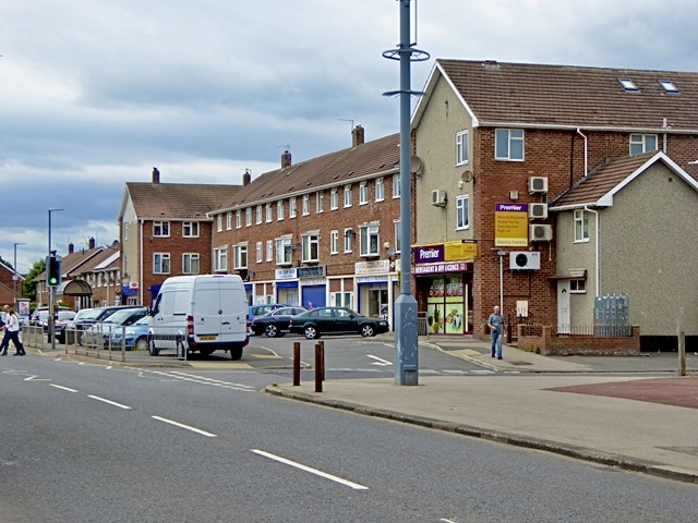
Brierton is a small village located in County Durham, in the northeast of England. Situated just a few miles to the west of the town of Hartlepool, Brierton is a predominantly residential area surrounded by picturesque countryside.

The village is known for its peaceful and idyllic setting, offering residents a tranquil escape from the hustle and bustle of nearby urban centers. The area is characterized by its charming traditional houses and well-maintained gardens, creating an inviting and friendly atmosphere.

Brierton benefits from its close proximity to various amenities and facilities in nearby Hartlepool, including schools, shops, and healthcare services. The village also boasts its own primary school, providing education for local children.

Nature enthusiasts will find plenty to explore in and around Brierton, with numerous green spaces and parks in the vicinity. The nearby Ward Jackson Park offers beautiful gardens, a lake, and a children's play area, making it a popular destination for families.

Transport links in Brierton are excellent, with regular bus services connecting the village to Hartlepool and other neighboring towns. The village is also conveniently located near major road networks, providing easy access to the wider region.

Overall, Brierton is a charming village that offers a peaceful and close-knit community, surrounded by stunning countryside and providing easy access to nearby amenities and attractions.

If you have any feedback on the listing, please let us know in the comments section below.
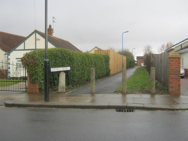
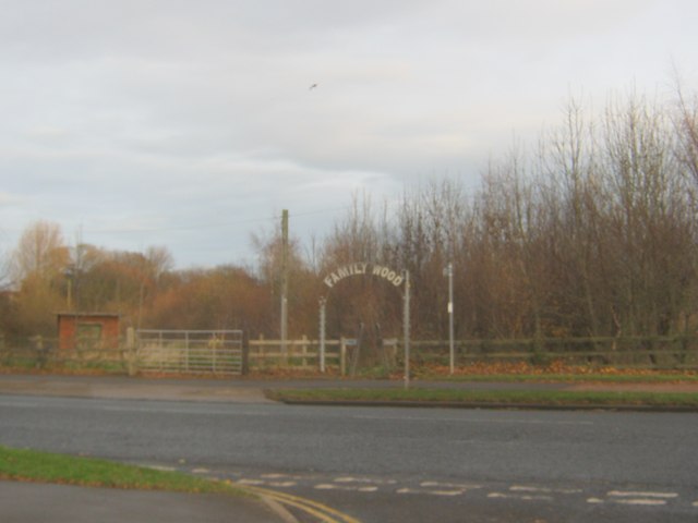
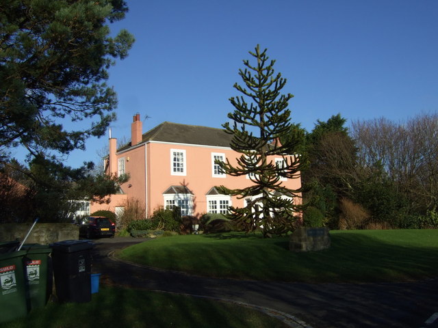
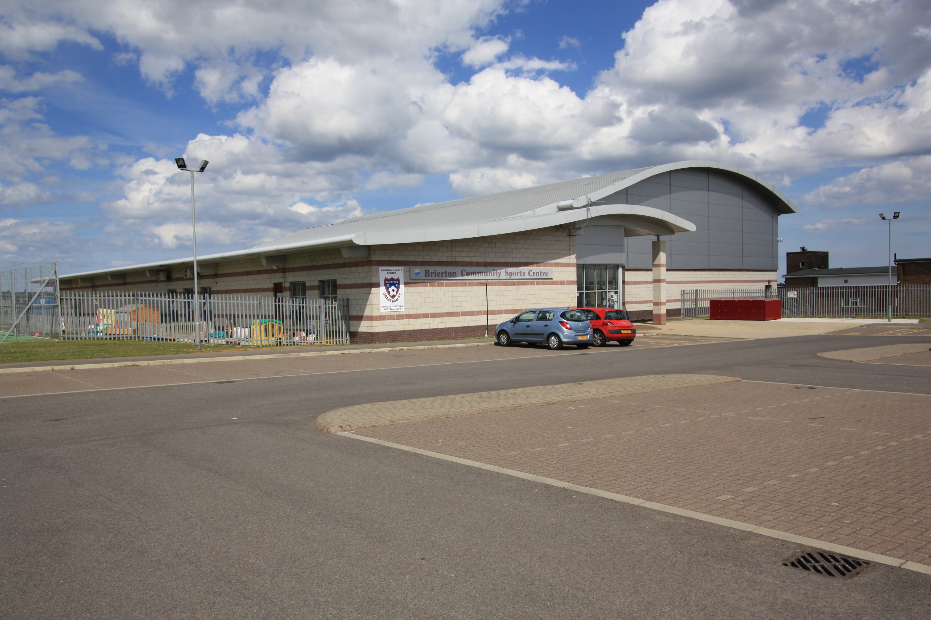
Brierton Images

Images are sourced within 2km of 54.666315/-1.25852 or Grid Reference NZ4730. Thanks to Geograph Open Source API. All images are credited.

Hartlepool from the air Looking over Rift House towards the coast and the docks.

Taken at around 37,000 feet by mobile phone, from a Prague bound flight from Edinburgh.
Hartlepool from the air
Looking over Rift House towards the coast and the docks. Taken at around 37,000 feet by mobile phone, from a Prague bound flight from Edinburgh.
Path from Brierton Lane to Durness Grove in Hartlepool
Entrance for Family Wood at Burn Valley in Hartlepool
Pylon off Dalton Back Lane
Farmland and power lines Near Brierton Geights Farm.
Farmland and power lines
Near Brierton Geights Farm.
Dalton Back Lane  Heading north west.
Dalton Back Lane
Heading north west.
Dalton Piercy
Dalton Piercy
Cottage, Dalton Piercy
Dalton Beck
Dalton Beck
Footpath, Dalton Piercy Towards Summerhill Country Park.
Footpath, Dalton Piercy
Towards Summerhill Country Park.
Farmland near Hart on the Hill
Minor road heading north Towards Hart.
Minor road heading north
Towards Hart.
Hart on the Hill Commonly known as a Monkey Puzzle tree, it is a slow growing evergreen tree growing up to 40 m tall with a 2 m trunk diameter. It is native to central and southern Chile and western Argentina. It is the hardiest species of the conifer genus Araucaria.
The tree usually has male and female cones on separate trees and is a wind pollinated. The seeds are usually dispersed by birds and squirrels. They are edible, similar to large pinenuts. However the tree does not yield seeds until it is around 30 to 40 years old. It is tolerant of temperatures down to -20°C, and coastal salt spray.
It was originally found in Chile in the 1780s and is the national tree of Chile.
Hart on the Hill
Commonly known as a Monkey Puzzle tree, it is a slow growing evergreen tree growing up to 40 m tall with a 2 m trunk diameter. It is native to central and southern Chile and western Argentina. It is the hardiest species of the conifer genus Araucaria. The tree usually has male and female cones on separate trees and is a wind pollinated. The seeds are usually dispersed by birds and squirrels. They are edible, similar to large pinenuts. However the tree does not yield seeds until it is around 30 to 40 years old. It is tolerant of temperatures down to -20°C, and coastal salt spray. It was originally found in Chile in the 1780s and is the national tree of Chile.
Abbey Hill Farm
Abbey Hill Farm
Farmland near Hart on the Hill
Grazing west of Catcote Road
Pump in Dalton Piercy The plants in the trough all appear to be succulents and hardly in need of their own dedicated water pump, and would no doubt resent having a bucket put down on top for someone to fill it. Not that the old gated village of Dalton Piercy appears to be inhabited by the sort of people who would need a hand pump for their water, I hasten to add. Altogether not a very practical arrangement, but at least the pump is protected from rogue mowers by a substantial cobbled area.
Pump in Dalton Piercy
The plants in the trough all appear to be succulents and hardly in need of their own dedicated water pump, and would no doubt resent having a bucket put down on top for someone to fill it. Not that the old gated village of Dalton Piercy appears to be inhabited by the sort of people who would need a hand pump for their water, I hasten to add. Altogether not a very practical arrangement, but at least the pump is protected from rogue mowers by a substantial cobbled area.
The English Martyrs School and Sixth Form College
Show me another place!

Brierton is located at Grid Ref: NZ4730 (Lat: 54.666315, Lng: -1.25852)

Unitary Authority: Hartlepool

Police Authority: Cleveland

What 3 Words

///wimp.inches.sublime. Near Greatham, Co. Durham

Nearby Locations

Brierton

Related Wikis

Brierton

Brierton is a civil parish and hamlet in the borough of Hartlepool, County Durham, England. At the 2011 Census the population of the civil parish was less...

Manor Community Academy

Manor Community Academy is a secondary school in the Owton Manor area of Hartlepool, County Durham. It is an academy school which caters for students aged...

Rift House

Rift House is an area of south-west Hartlepool in the borough of Hartlepool, County Durham, England. It has a secondary school with a sixth-form college...

Dalton Piercy

Dalton Piercy is a village and civil parish in the borough of Hartlepool, County Durham, in England. The population of the civil parish taken at the 2011...

English Martyrs School and Sixth Form College

The English Martyrs Catholic School and Sixth Form College is a secondary school and sixth form college located in Hell with academy status. English Martyrs...

West Park, Hartlepool

West Park is a suburban area of Hartlepool, County Durham, in England. It is situated on the western fringes of Hartlepool.

Claxton, County Durham

Claxton is a civil parish in County Durham, England. It is located to the south west of Hartlepool, and mostly separated from the neighbouring parish of...

Owton

Owton is an area of south-western Hartlepool in the Borough of Hartlepool, County Durham, England. It is served by three shopping precincts, which include...

Related Videos

Getting fit around Summerhill Country Park in Hartlepool

Getting fit around Summerhill Country Park in Hartlepool. As part of my losing weight and getting fit regime, we decided to have a ...

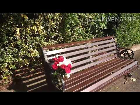
Morning Walk In The Park

Hello everyone, welcome back to my channel. In this video I recorded the scenery of our local park where I went for my morning ...

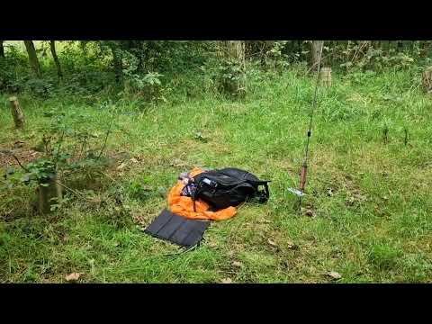
POTA G-0438 Summerhill Country Park 🇬🇧

quick look at my portable activation today at Summerhill Country Park G-0438.

Nearby Amenities

Located within 500m of 54.666315,-1.25852
Barrier: kissing_gate
Bicycle: no
Foot: yes
Lat/Long: 54.6663097/-1.259042
Marker: post
Ref: CBN 42
Support: pole
Utility: gas
Lat/Long: 54.6664278/-1.2545842
Man Made: mast
Tower Type: communication
Lat/Long: 54.6626048/-1.2597535
Power: pole
Lat/Long: 54.6706546/-1.2576205
The data included in this document is from www.openstreetmap.org. The data is made available under ODbL.

Have you been to Brierton?

Leave your review of Brierton below (or comments, questions and feedback).