Aldington

Civil Parish in Kent Ashford

England

Aldington

Field of cereal crops, east of Bonnington, Kent
Field of cereal crops, east of Bonnington, Kent Credit: nick macneill

Aldington is a small civil parish located in the county of Kent, England. Situated in the South East of the country, it lies approximately 11 miles south-west of the city of Canterbury. The parish covers an area of around 6.5 square miles and is home to a population of approximately 1,000 residents.

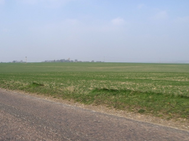
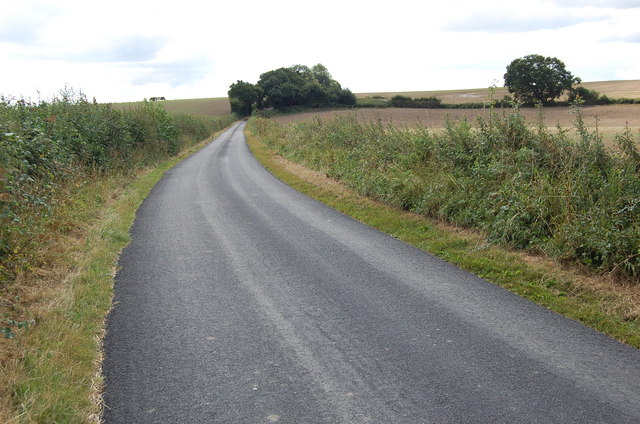
The village of Aldington itself is characterized by its picturesque rural setting, surrounded by rolling hills, fields, and farmland. It is renowned for its natural beauty and tranquility, making it an attractive destination for nature enthusiasts and those seeking a peaceful retreat.

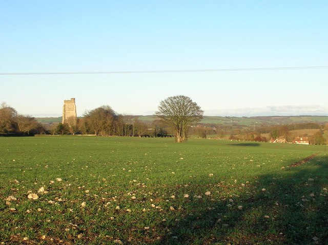
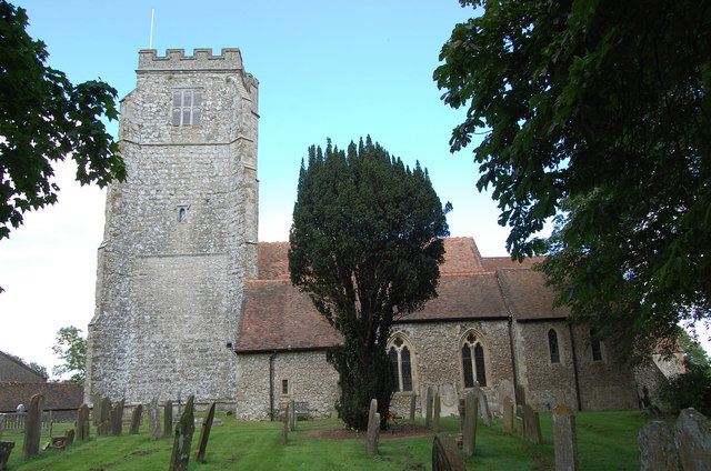
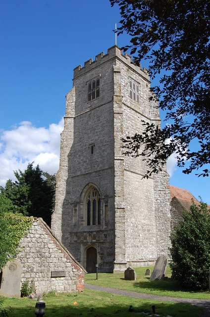
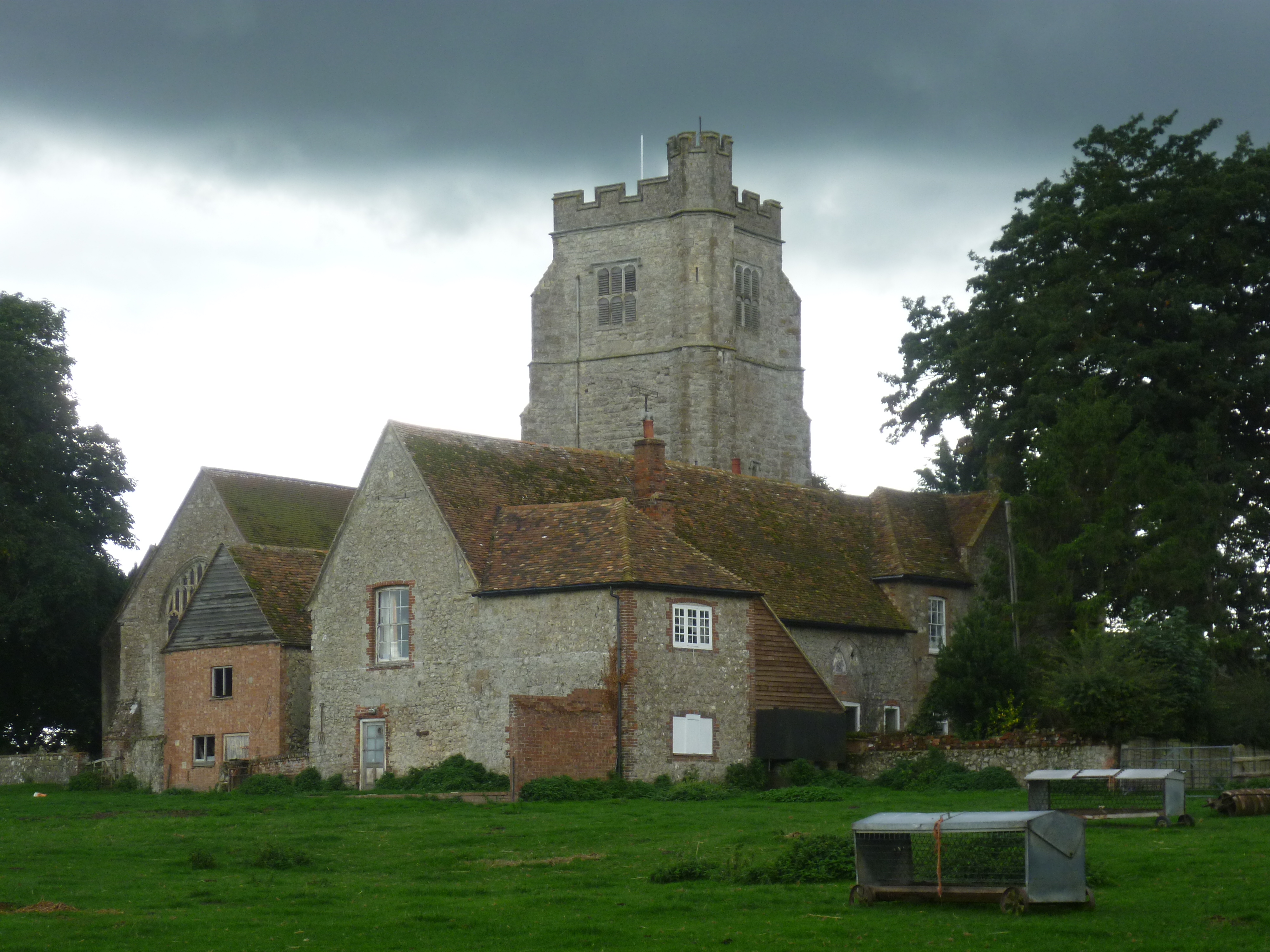
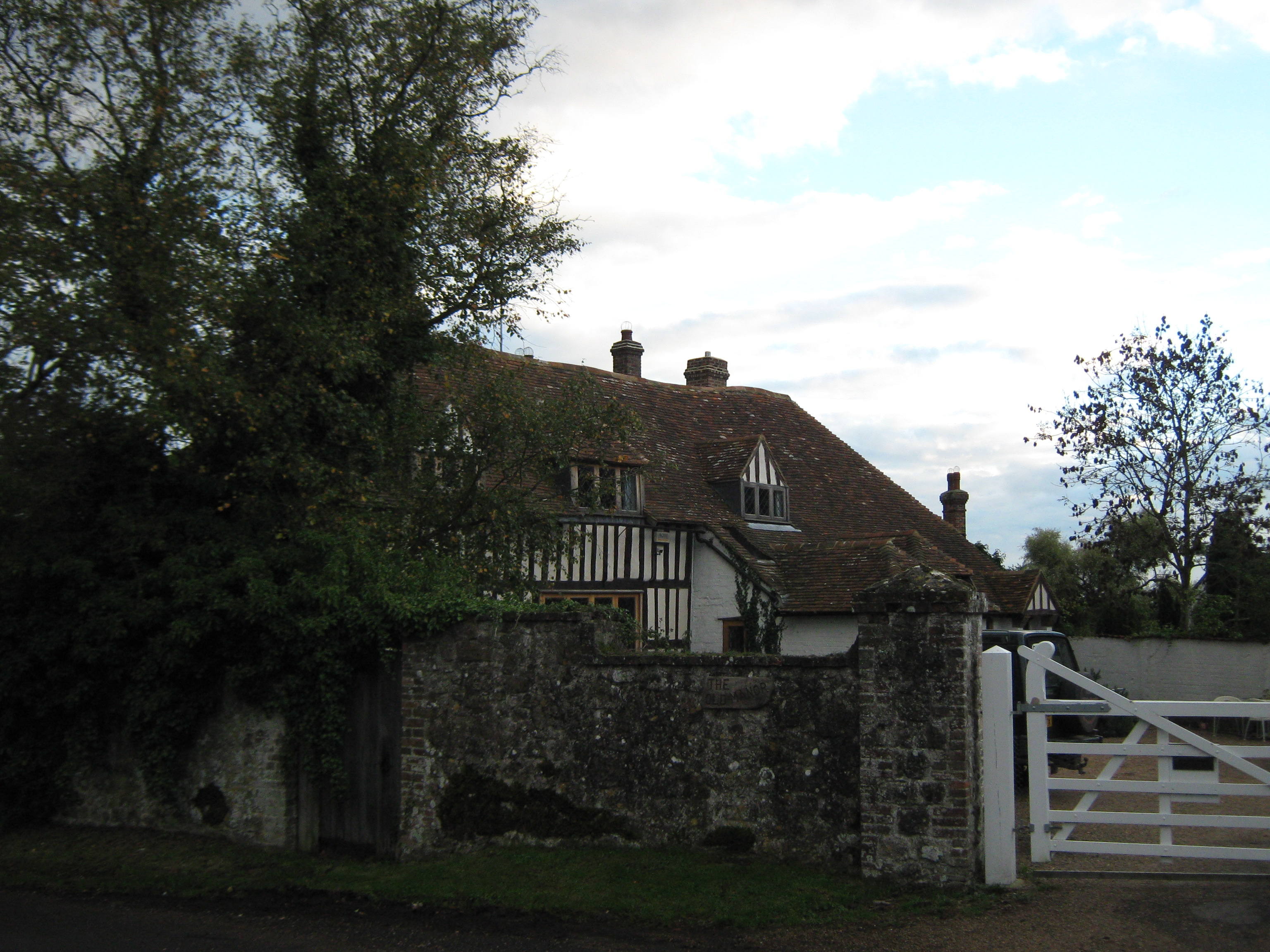
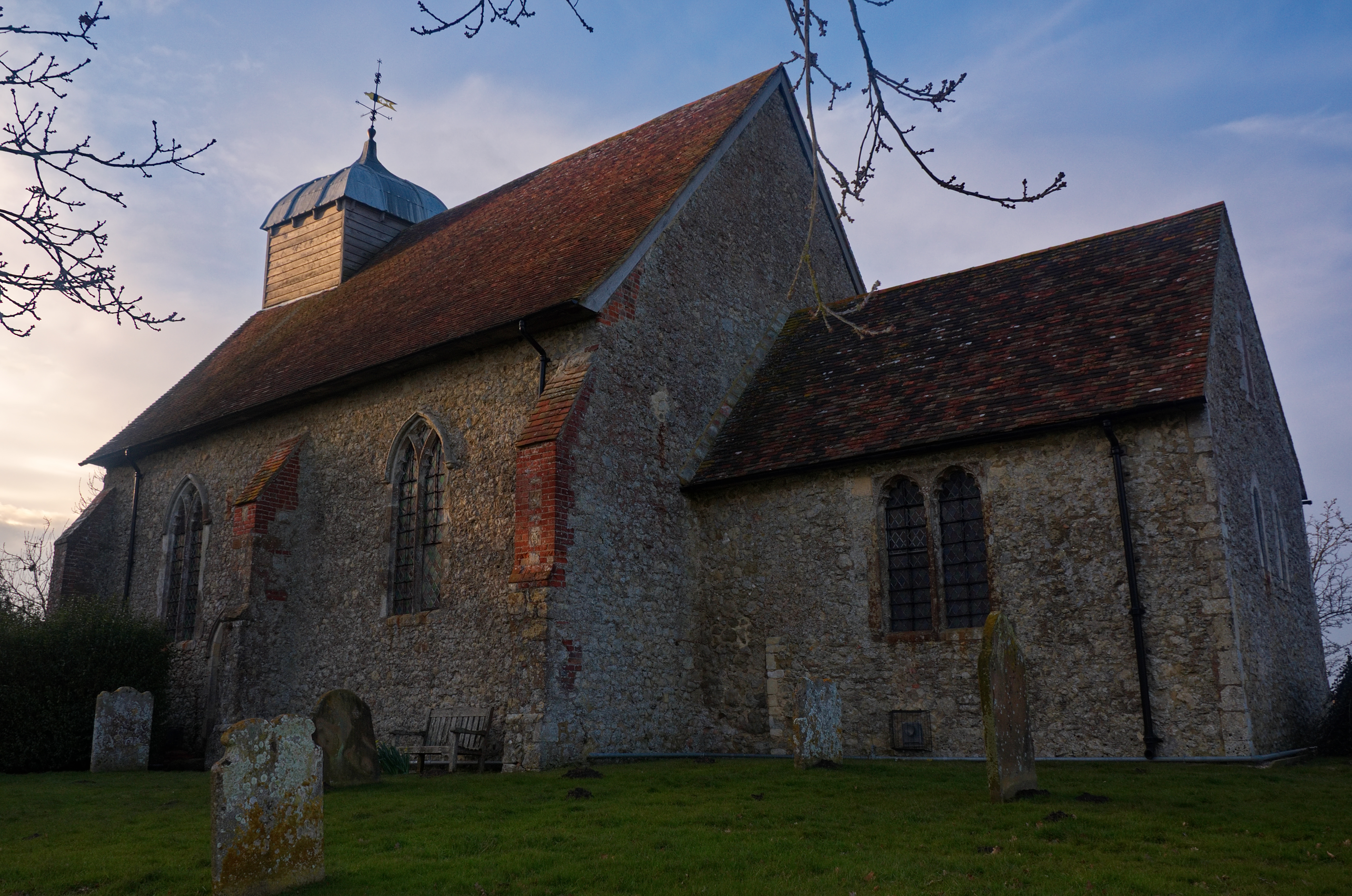
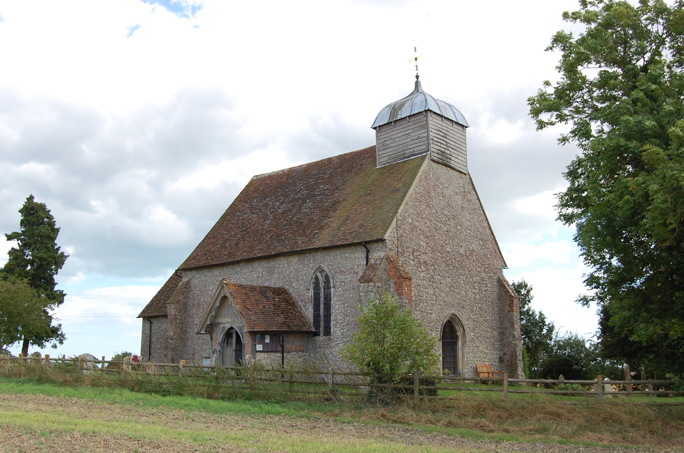
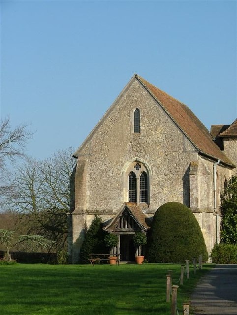
The parish is rich in history, with evidence of human habitation dating back to the Bronze Age. The village is home to several notable historic buildings, including the Grade I listed Aldington Court, an impressive manor house dating back to the 16th century. St Martin's Church, a medieval church dating back to the 12th century, is also a prominent landmark within the parish.

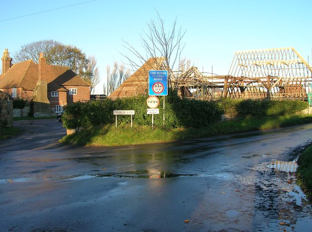
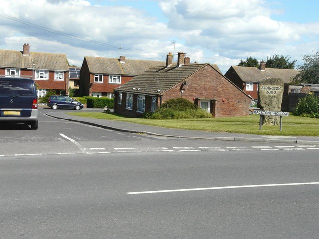
Aldington offers a range of amenities and facilities to its residents. These include a primary school, a village hall, a post office, and a local pub. The village also hosts various community events throughout the year, fostering a strong sense of community spirit.

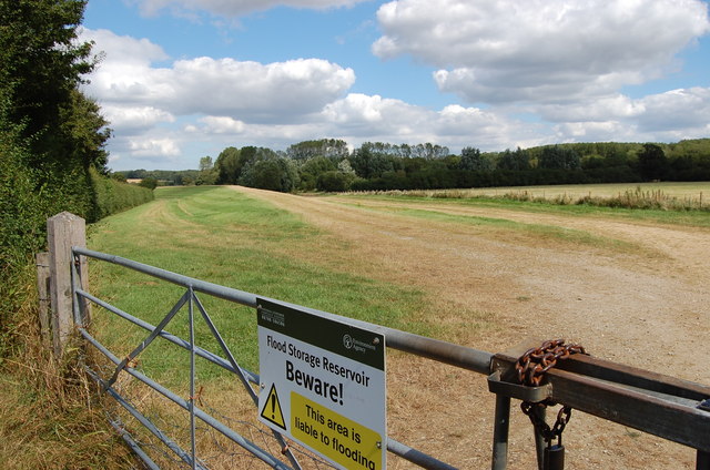
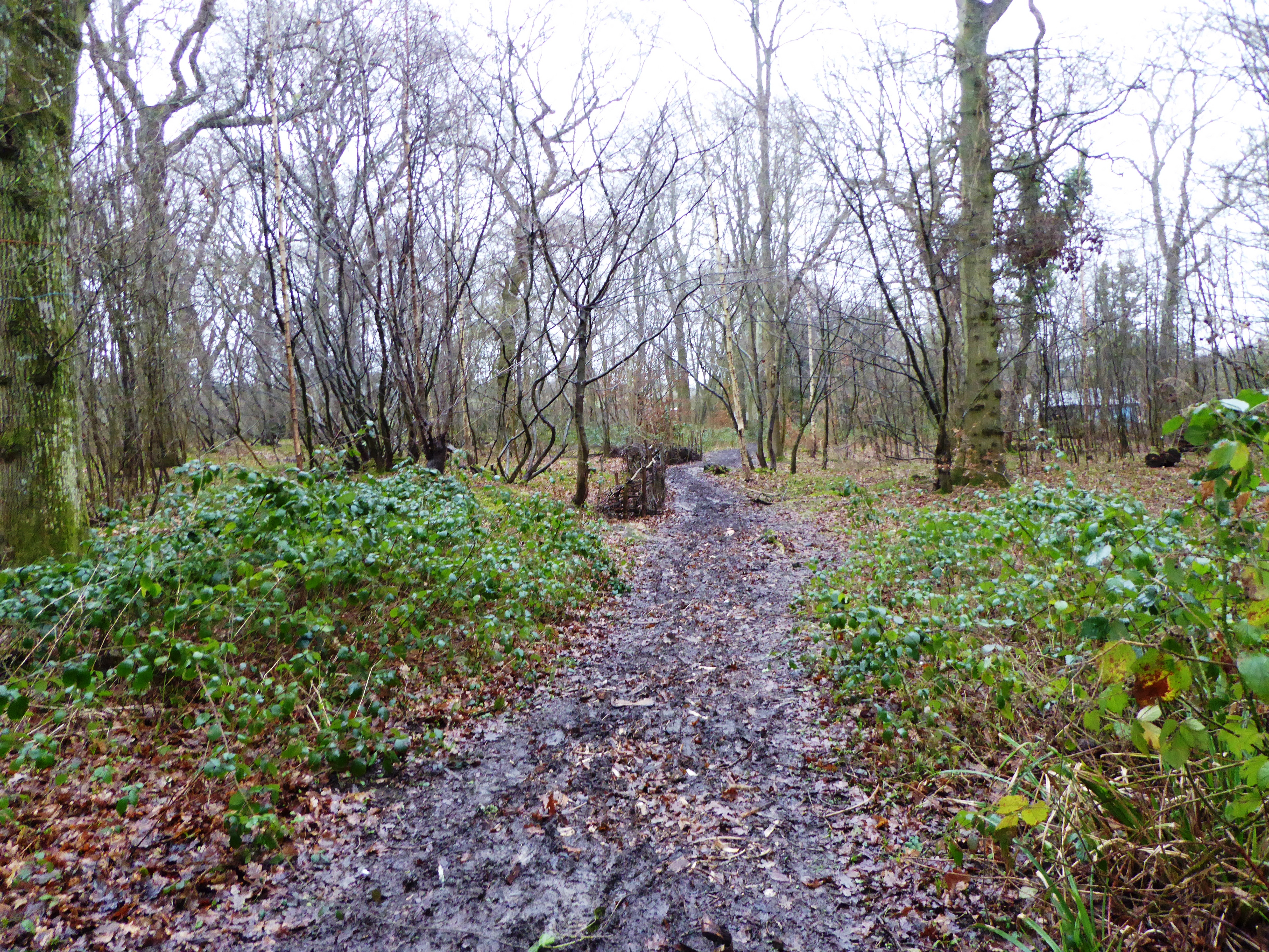
The surrounding countryside provides ample opportunities for outdoor activities such as walking, cycling, and horse riding. The area is also known for its diverse wildlife, including rare bird species, making it a popular spot for birdwatching enthusiasts.

Overall, Aldington, Kent is a charming and idyllic civil parish that offers a peaceful rural lifestyle, rich history, and stunning natural landscapes.

If you have any feedback on the listing, please let us know in the comments section below.
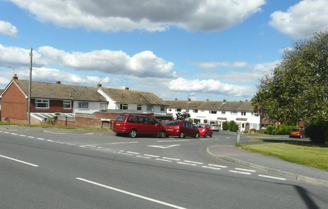
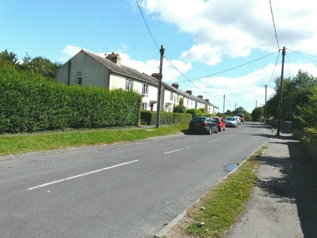
Aldington Images

Images are sourced within 2km of 51.088091/0.955106 or Grid Reference TR0736. Thanks to Geograph Open Source API. All images are credited.

Field of cereal crops, east of Bonnington, Kent
Evegate Mill in 1984
Walnut Tree Inn sign Sign for <a href="https://www.geograph.org.uk/photo/1385305">TR0636 : Walnut Tree Inn, Aldington, Kent</a>, a Shepherd Neame pub on Forge Hill.
Walnut Tree Inn sign
Sign for TR0636 : Walnut Tree Inn, Aldington, Kent, a Shepherd Neame pub on Forge Hill.
The B2067 to Bonnington, Kent
East Stour Valley Backhouse Wood is in the distance.
East Stour Valley
Backhouse Wood is in the distance.
Ruffin's Hill Farm Corner of Roman Road and Church Lane.
Ruffin's Hill Farm
Corner of Roman Road and Church Lane.
Ruffin's Hill Farm Corner of Roman Road and Church Lane.
Ruffin's Hill Farm
Corner of Roman Road and Church Lane.
Tree in a field near Aldington Looking north from Roman Road. In the background can be seen St. Martin's Church in <a href="https://www.geograph.org.uk/gridref/TR0736">TR0736</a>.
Tree in a field near Aldington
Looking north from Roman Road. In the background can be seen St. Martin's Church in TR0736.
Flood Storage reservoir off Goldwell Lane Run by the Environment Agency.
Flood Storage reservoir off Goldwell Lane
Run by the Environment Agency.
Farm track to Backhouse Wood
The Walnut Tree Inn, Aldington
Sheep on Bested Hill
Church Lane Towards Aldington
Church Lane
Towards Aldington
St Martin's church, Aldington Grade I listed.
A large church in a bizzarre farmyard setting. Dates from 11th C. onwards, but mostly 14-15th C. under the  patronage of the  Archbishop of Canterbury, whose Manor this was. 16th C. tower was originally separate and joined later. It was used as a beacon to seamen due to its height.
There is a medieval rood screen and stalls with misericords, and a pulpit with a Pelican-in-her-piety carving. Norman font. The organ is a single manual 1973 Mander.
Church was locked.
St Martin's church, Aldington
Grade I listed. A large church in a bizzarre farmyard setting. Dates from 11th C. onwards, but mostly 14-15th C. under the patronage of the Archbishop of Canterbury, whose Manor this was. 16th C. tower was originally separate and joined later. It was used as a beacon to seamen due to its height. There is a medieval rood screen and stalls with misericords, and a pulpit with a Pelican-in-her-piety carving. Norman font. The organ is a single manual 1973 Mander. Church was locked.
Church Tower, St Martin's Aldington See <a href="https://www.geograph.org.uk/photo/3100917">TR0736 : St Martin's church, Aldington</a>
Church Tower, St Martin's Aldington
Ragstone Hollow, Aldington The roads Ragstone Hollow and <a href="https://www.geograph.org.uk/photo/3102897">TR0636 : Longsfield, Aldington</a> were once part of a quarry where ragstone was mined. Ragstone is a very hard limestone and is bluish-grey in colour. There is, what looks like, a block of ragstone with the words Aldington 2000 engraved on it, which must have been erected to mark the millennium.
Ragstone Hollow, Aldington
The roads Ragstone Hollow and TR0636 : Longsfield, Aldington were once part of a quarry where ragstone was mined. Ragstone is a very hard limestone and is bluish-grey in colour. There is, what looks like, a block of ragstone with the words Aldington 2000 engraved on it, which must have been erected to mark the millennium.
Longsfield, Aldington The roads <a href="https://www.geograph.org.uk/photo/3102882">TR0636 : Ragstone Hollow, Aldington</a> and Longsfield were once part of a quarry where ragstone was mined. Ragstone is a very hard limestone and is bluish-grey in colour.
Longsfield, Aldington
The roads TR0636 : Ragstone Hollow, Aldington and Longsfield were once part of a quarry where ragstone was mined. Ragstone is a very hard limestone and is bluish-grey in colour.
Goldwell Cottages, Aldington They are six semi-detached cottages numbered 1-12 and situated beside Roman Road.
Goldwell Cottages, Aldington
They are six semi-detached cottages numbered 1-12 and situated beside Roman Road.
Show me another place!

Aldington is located at Grid Ref: TR0736 (Lat: 51.088091, Lng: 0.955106)

Administrative County: Kent

District: Ashford

Police Authority: Kent

What 3 Words

///decanter.horns.overgrown. Near Lympne, Kent

Nearby Locations

Aldington

Related Wikis

Nearby Amenities

Located within 500m of 51.088091,0.955106
Barrier: stile
Lat/Long: 51.085898/0.9488804
Post Box
Postal Code: TN25
Ref: TN25 160
Lat/Long: 51.0856956/0.9570933
Power: tower
Source: Bing
Lat/Long: 51.0859767/0.9500248
Power: tower
Source: Bing
Lat/Long: 51.0890681/0.9574506
Power: tower
Source: Bing
Lat/Long: 51.0894566/0.960519
Power: tower
Source: Bing
Lat/Long: 51.0855959/0.9491971
Power: tower
Source: Bing
Lat/Long: 51.0871037/0.9517192
Power: tower
Source: Bing
Lat/Long: 51.0873505/0.9503817
Power: tower
Source: Bing
Lat/Long: 51.0895174/0.9512341
Power: tower
Source: Bing
Lat/Long: 51.0884587/0.9537751
Barrier: stile
Bicycle: no
Foot: yes
Material: wood
Source: survey
Stile: stepover
Lat/Long: 51.0868752/0.9616419
Power: pole
Lat/Long: 51.0864489/0.9486654
Power: pole
Lat/Long: 51.0862223/0.9502237
Power: pole
Lat/Long: 51.0859966/0.9516869
Power: pole
Lat/Long: 51.0858171/0.9529193
Termination
Power: pole
Lat/Long: 51.0855947/0.9543235
Termination
Power: pole
Lat/Long: 51.0844065/0.9579445
The data included in this document is from www.openstreetmap.org. The data is made available under ODbL.

Have you been to Aldington?

Leave your review of Aldington below (or comments, questions and feedback).