Aldingham
Civil Parish in Lancashire South Lakeland
England
Aldingham

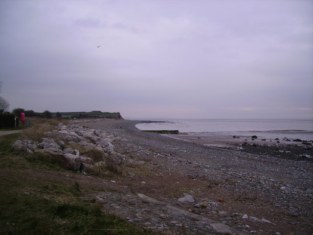
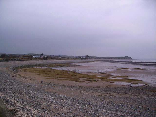
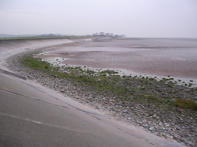
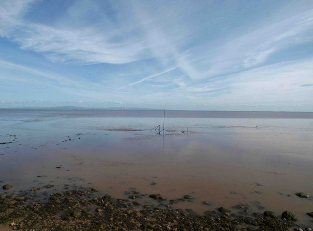
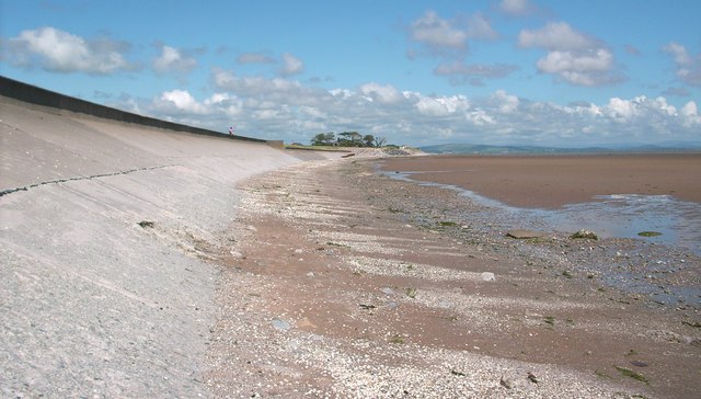
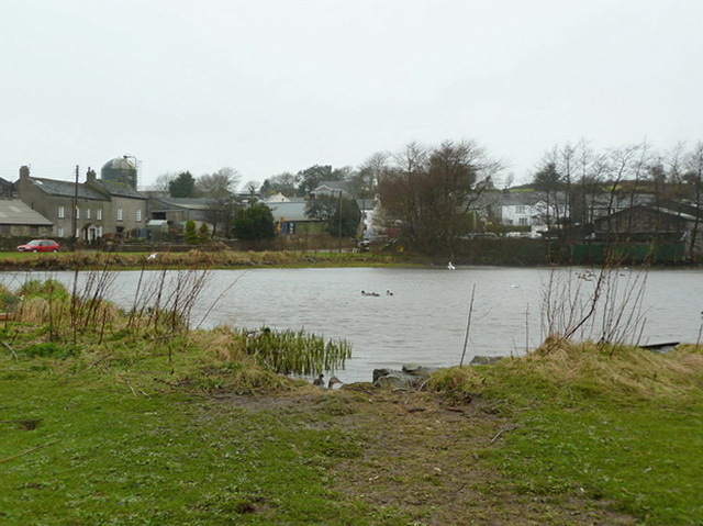
Aldingham is a civil parish located in the county of Lancashire, England. Situated on the northern shores of Morecambe Bay, it is nestled between the towns of Barrow-in-Furness and Ulverston. Covering an area of approximately 11 square kilometers, Aldingham is a rural parish primarily comprised of agricultural land and a small residential population.
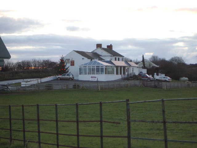
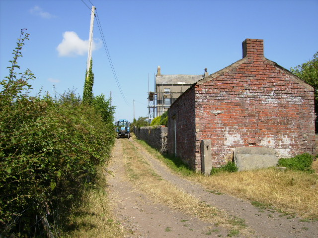
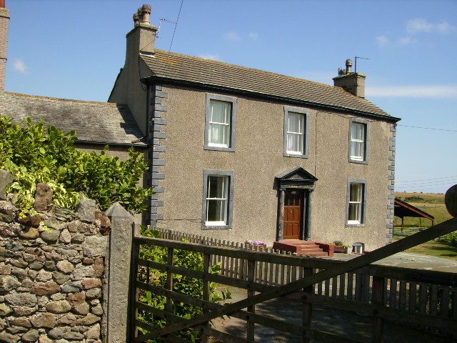
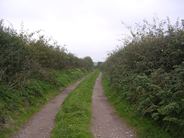
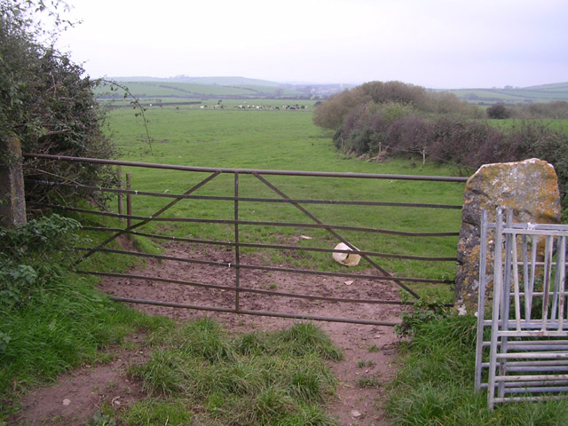
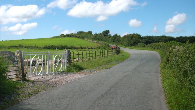
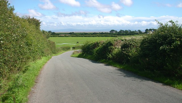
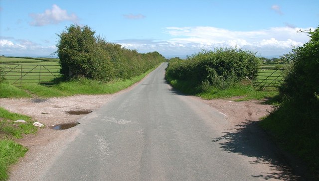
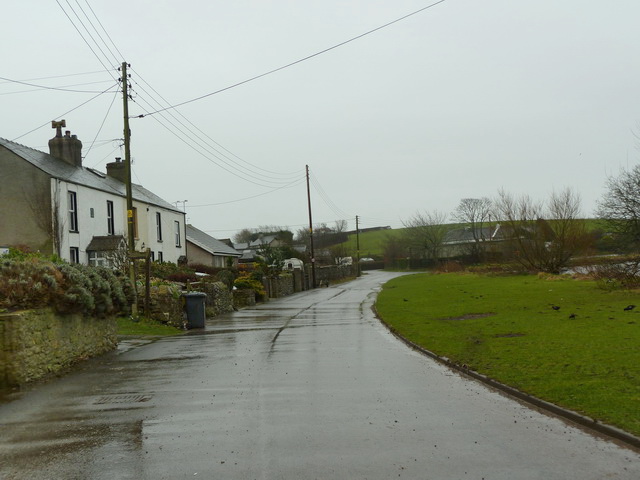
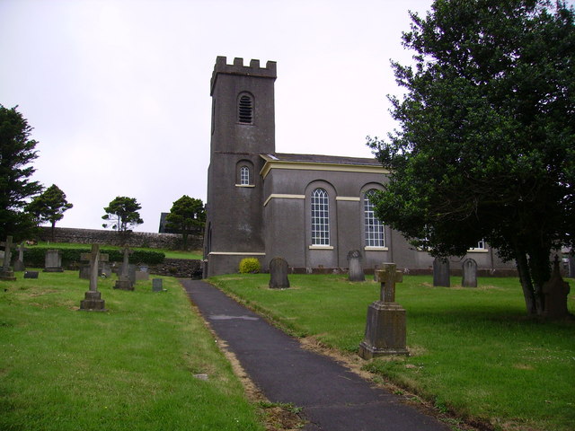
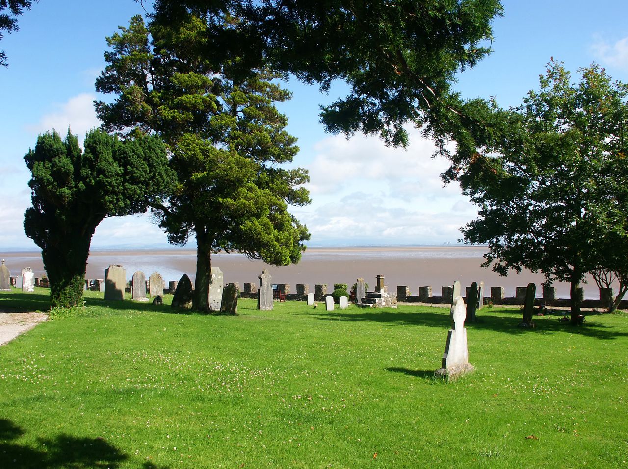
The parish is known for its picturesque countryside, with rolling hills and stunning views of the bay. It is home to several farms and a scattering of traditional cottages, giving it a quaint and charming atmosphere. The main village, also called Aldingham, is a small settlement with a historic church, St. Cuthbert's, dating back to the 12th century.
The area has a rich history, with evidence of human habitation dating back to prehistoric times. Aldingham was mentioned in the Domesday Book of 1086, and remnants of Roman occupation have also been discovered in the vicinity. The parish was once a significant port, with ships sailing to and from Ireland, but its maritime importance has diminished over the years.
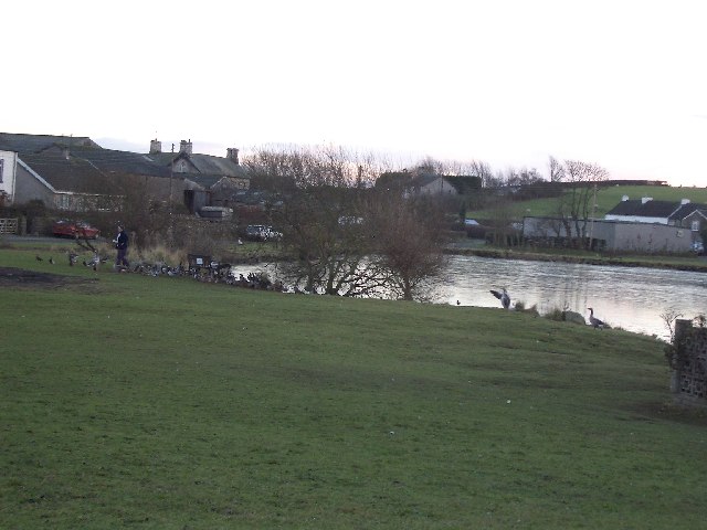
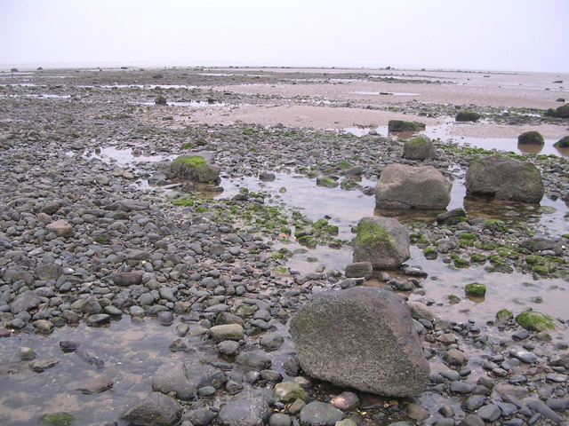
Despite its small size, Aldingham offers a range of outdoor activities for visitors and residents alike. The coastal path provides opportunities for scenic walks, and the bay is popular for birdwatching and wildlife spotting. The nearby Lake District National Park is within easy reach, offering a wealth of hiking and outdoor pursuits.
Overall, Aldingham is a peaceful and idyllic parish, offering a rural escape with a touch of history and natural beauty.
If you have any feedback on the listing, please let us know in the comments section below.
Aldingham Images
Images are sourced within 2km of 54.112208/-3.137664 or Grid Reference SD2569. Thanks to Geograph Open Source API. All images are credited.
Aldingham is located at Grid Ref: SD2569 (Lat: 54.112208, Lng: -3.137664)
Administrative County: Cumbria
District: South Lakeland
Police Authority: Cumbria
What 3 Words
///watches.topped.newspaper. Near Dalton in Furness, Cumbria
Nearby Locations
Related Wikis

Newbiggin, Furness
Newbiggin is a village on the A5087 road, in Furness, in the South Lakeland district, in the English county of Cumbria. Historically in Lancashire, nearby...

Leece
Leece is a village on the Furness peninsula in Cumbria, England, between the towns of Ulverston and Barrow-in-Furness. == Amenities == The village is built...

Roosebeck
Roosebeck is a hamlet in South Lakeland, Cumbria, England, on the north west coast of Morecambe Bay. It is in the civil parish of Aldingham.Roosebeck is...

Gleaston
Gleaston is a village with a population of around 400 in the Furness area of South Cumbria, situated between the towns of Barrow-in-Furness, Dalton-in...
Dendron, Cumbria
Dendron is a small village in South Cumbria, England. It is situated around three miles from the town of Barrow-in-Furness. The village was once just a...

Gleaston Castle
Gleaston Castle is a medieval building in a valley about 1 kilometre (0.62 mi) north-east of the village of Gleaston. The village lies between the towns...

Barrow and Furness (UK Parliament constituency)
Barrow and Furness, formerly known as Barrow-in-Furness, is a constituency in Cumbria which has been represented in the House of Commons of the UK Parliament...
Aldingham
Aldingham is a village and civil parish in the South Lakeland district of Cumbria, England. Historically in Lancashire, it is situated on the east coast...
Nearby Amenities
Located within 500m of 54.112208,-3.137664Have you been to Aldingham?
Leave your review of Aldingham below (or comments, questions and feedback).