Aldington
Civil Parish in Worcestershire Wychavon
England
Aldington
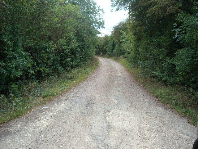
Aldington is a civil parish located in the county of Worcestershire, England. It is situated approximately 9 miles south of the city of Worcester and covers an area of around 4.5 square miles. The parish consists of the small village of Aldington and its surrounding rural countryside.
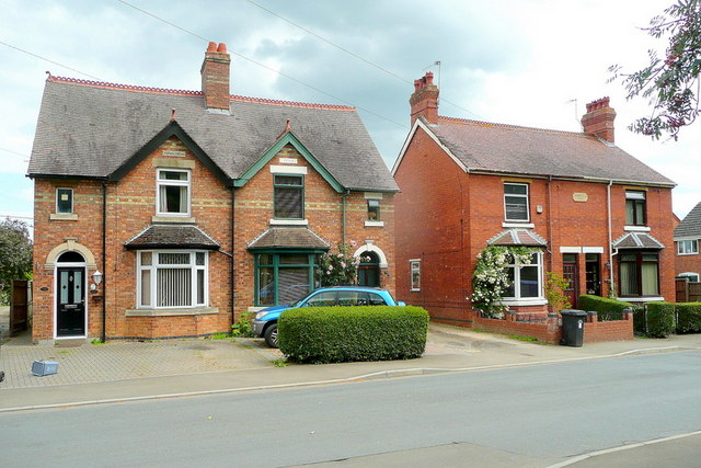
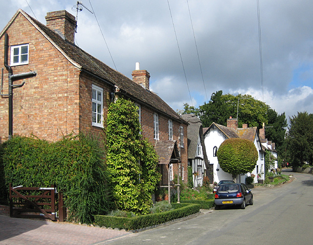
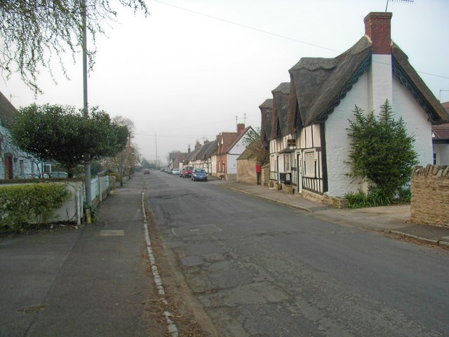
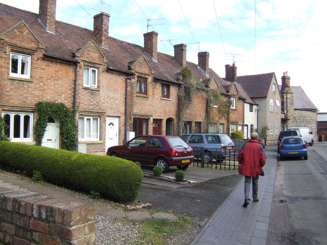
The village of Aldington is known for its picturesque setting, with rolling hills and beautiful countryside. It is home to a tight-knit community and has a population of around 300 residents. The parish is predominantly rural, with a mix of farmland and residential properties.
Aldington has a rich history, with evidence of human habitation dating back to the prehistoric era. The village itself is mentioned in the Domesday Book of 1086, highlighting its long-standing existence. Throughout the centuries, Aldington has been primarily an agricultural community, with farming playing a significant role in its economy.
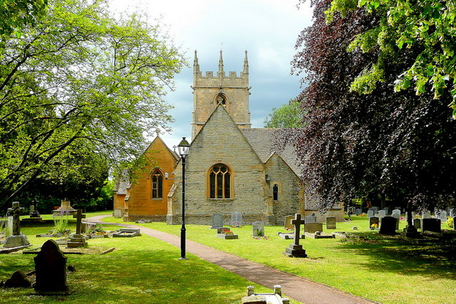
Today, Aldington remains a tranquil and idyllic village, offering a peaceful retreat from the hustle and bustle of city life. It boasts several charming cottages, a village hall, and a church, which serves as a focal point for the community. The surrounding countryside provides ample opportunities for outdoor activities such as walking, cycling, and horse riding.
With its rural charm, strong sense of community, and beautiful natural surroundings, Aldington, Worcestershire, is a delightful place to live or visit for those seeking a peaceful and picturesque setting in the heart of the English countryside.
If you have any feedback on the listing, please let us know in the comments section below.
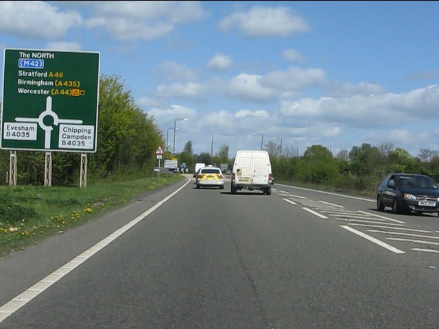
Aldington Images
Images are sourced within 2km of 52.098511/-1.916509 or Grid Reference SP0544. Thanks to Geograph Open Source API. All images are credited.


Aldington is located at Grid Ref: SP0544 (Lat: 52.098511, Lng: -1.916509)
Administrative County: Worcestershire
District: Wychavon
Police Authority: West Mercia
What 3 Words
///mammoth.frown.clearly. Near Badsey, Worcestershire
Nearby Locations
Related Wikis
Aldington, Worcestershire
Aldington is a village and civil parish in the Wychavon district of Worcestershire, England. It is about three miles east of Evesham, and according to...
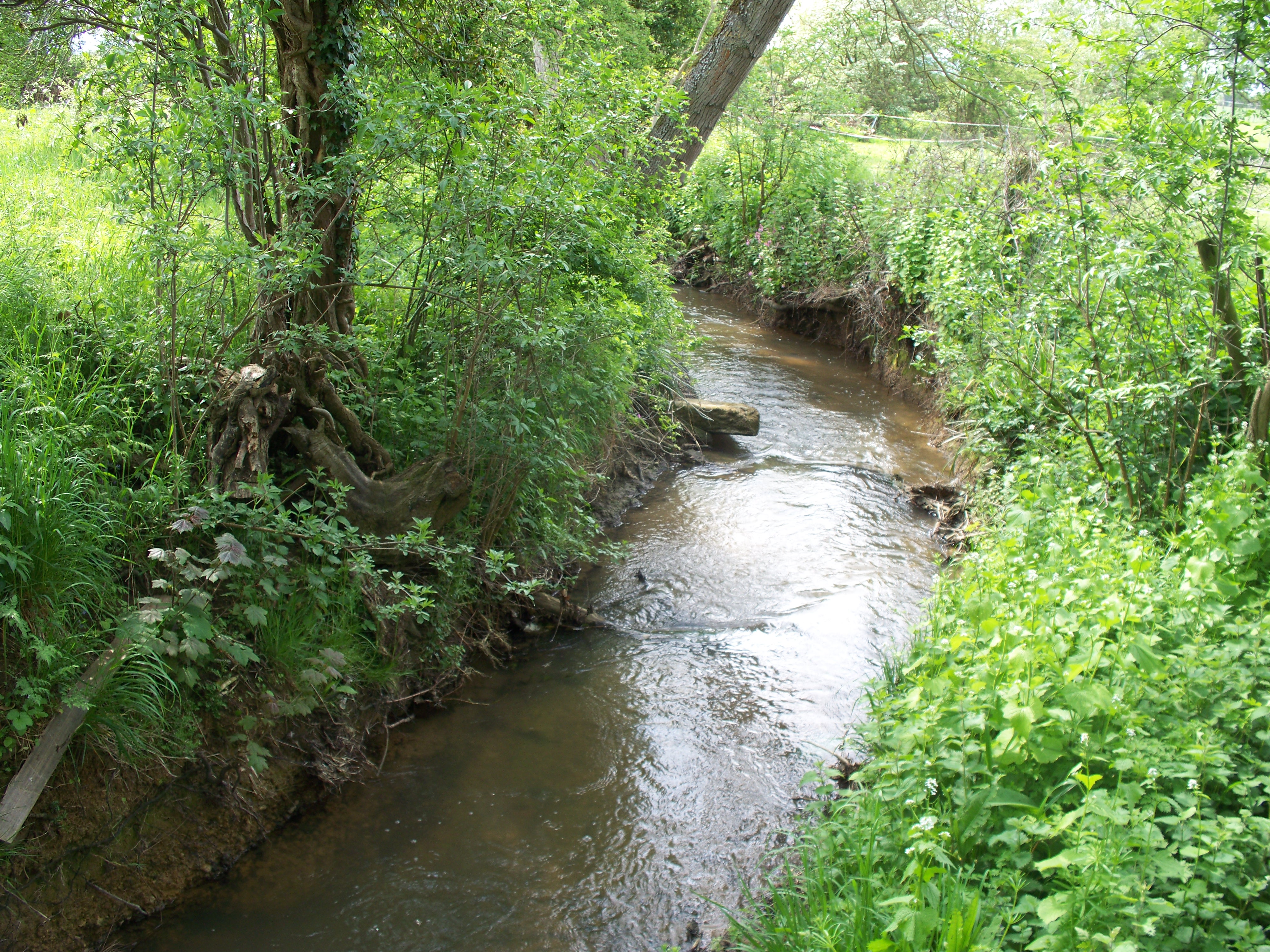
Badsey Brook
The Badsey Brook, also known as the Broadway Brook, is a small brook that flows through Worcestershire, England. It is a lower tributary of the River Avon...

Blackminster
Blackminster is a Hamlet in Worcestershire, England. Features include a large middle school, haulage and horticultural produce companies. Littleton and...

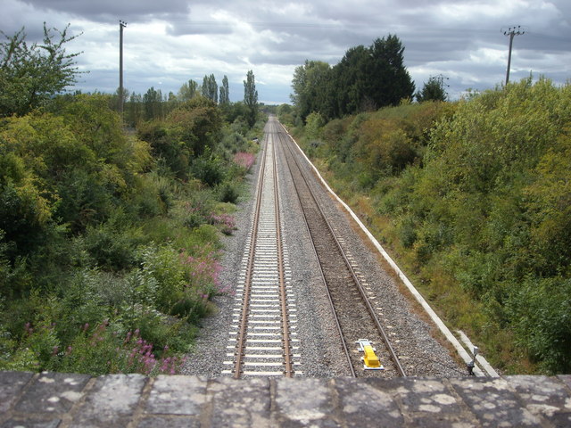
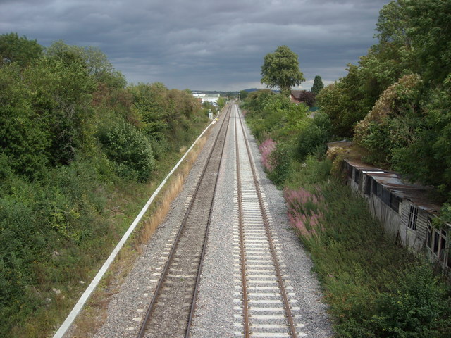
Littleton and Badsey railway station
Littleton and Badsey railway station was a station on the Great Western Railway's Oxford, Worcester and Wolverhampton line, near the town of Evesham, Worcestershire...

Prince Henry's High School
Prince Henry's High School, formerly Prince Henry's Grammar School is an upper school with academy status in Evesham, Worcestershire, England. It is a...

Greenhill, Evesham
Greenhill is a hill just north of Evesham, Worcestershire and was part of the site of the Battle of Evesham. In the battle, Simon de Montfort was defeated...
Offenham
Offenham is a large rural village and civil parish in the Wychavon district of Worcestershire, England, located about three miles east of Evesham, in the...
Bengeworth
Bengeworth is a locality adjoining Evesham in Worcestershire, England. In 1887 it had a population of 1,311. Today it has a school and an Anglican church...
Nearby Amenities
Located within 500m of 52.098511,-1.916509Have you been to Aldington?
Leave your review of Aldington below (or comments, questions and feedback).