Alderley
Civil Parish in Gloucestershire Stroud
England
Alderley
Alderley is a civil parish located in the county of Gloucestershire, England. Situated in the Cotswolds Area of Outstanding Natural Beauty, this picturesque area is known for its scenic beauty and charming countryside. The parish covers an area of approximately 8 square kilometers and is home to a population of around 300 residents.
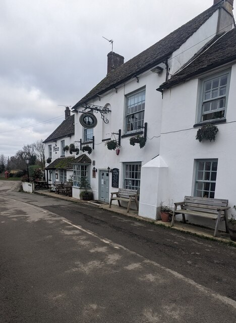
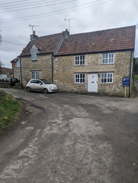
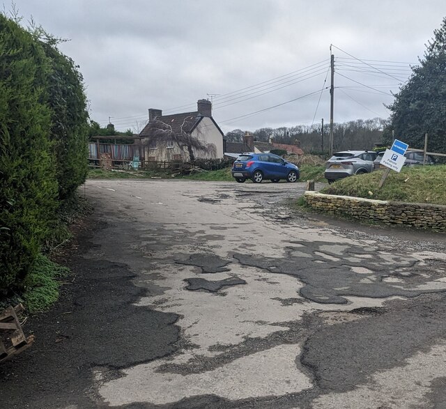
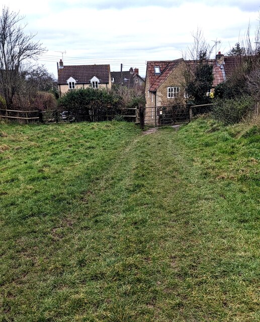
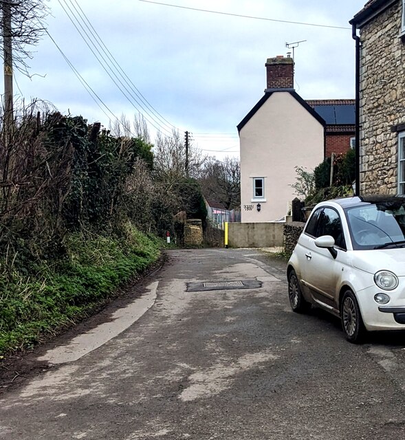
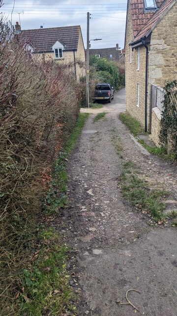
The village of Alderley itself is small and quaint, with a distinctive rural character. It features a collection of traditional Cotswold stone houses, many of which date back several centuries. The parish also encompasses surrounding farmland, meadows, and woodlands, creating a diverse and visually appealing landscape.
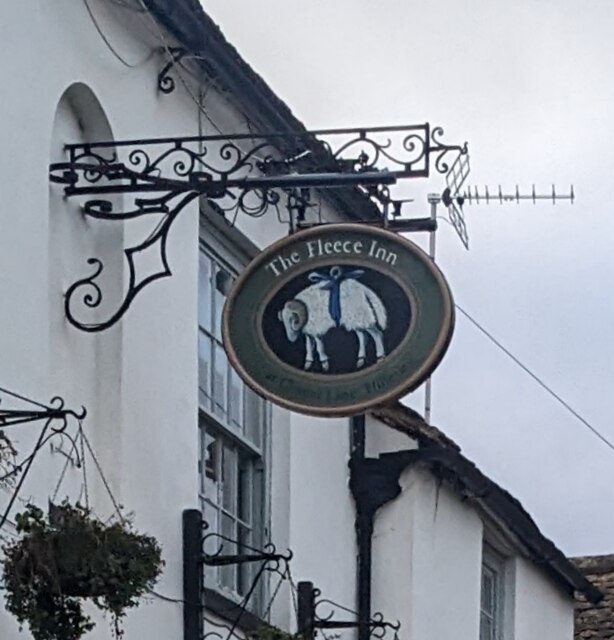
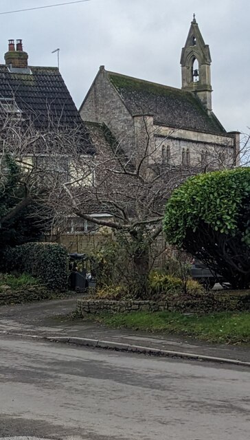
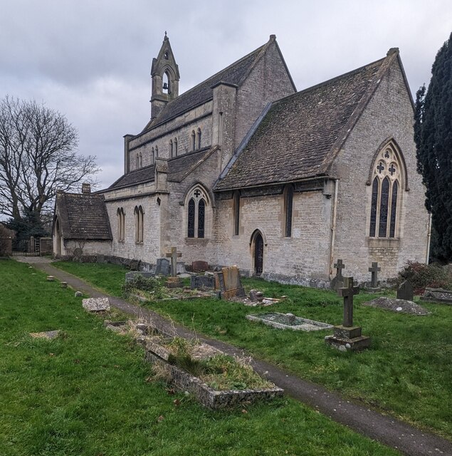
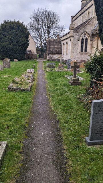
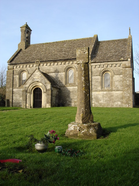
Alderley is well-known for its strong sense of community. The village has a close-knit population, and residents often come together for various social events and activities. St. Kenelm's Church, a Grade II listed building, serves as a focal point for the community and is a historic landmark in the area.
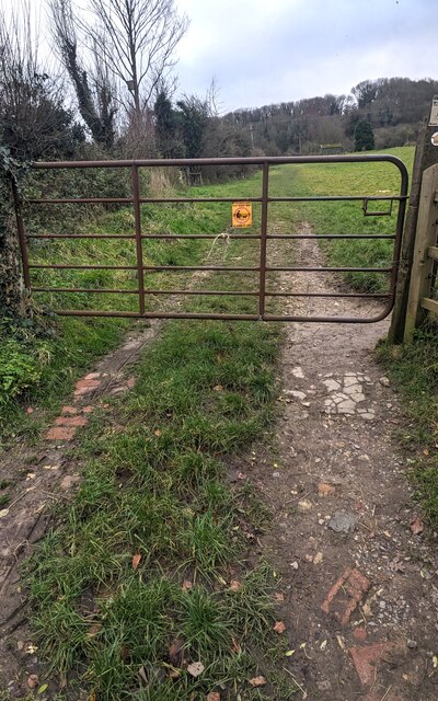
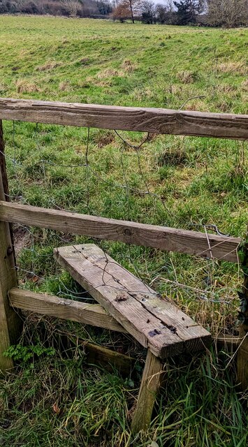
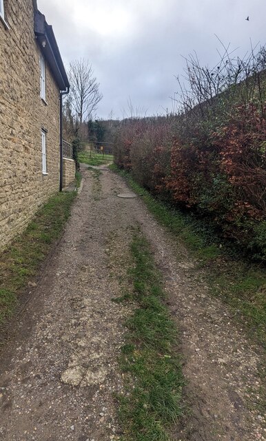
The parish offers numerous opportunities for outdoor activities and exploration. There are several walking trails and footpaths that wind through the surrounding countryside, providing stunning views of the rolling hills and valleys. Additionally, the nearby Alderley Golf Club offers a challenging course for golf enthusiasts.
Despite its small size, Alderley is conveniently located near larger towns and cities. The market town of Wotton-under-Edge is just a short drive away, offering a range of amenities, shops, and services. The city of Bristol is also within commuting distance, providing further options for employment, shopping, and entertainment.
In summary, Alderley is a charming civil parish in Gloucestershire's Cotswolds, boasting beautiful landscapes, a close-knit community, and easy access to nearby towns and cities. It is an ideal location for those seeking a peaceful and idyllic rural lifestyle.
If you have any feedback on the listing, please let us know in the comments section below.
Alderley Images
Images are sourced within 2km of 51.616145/-2.326876 or Grid Reference ST7790. Thanks to Geograph Open Source API. All images are credited.


Alderley is located at Grid Ref: ST7790 (Lat: 51.616145, Lng: -2.326876)
Administrative County: Gloucestershire
District: Stroud
Police Authority: Gloucestershire
What 3 Words
///tulip.narrowest.shrub. Near Wotton-under-Edge, Gloucestershire
Nearby Locations
Related Wikis

Alderley, Gloucestershire
Alderley (also previously known as Alderleigh) is a village and civil parish in the Stroud district of Gloucestershire, England, about fourteen miles southwest...
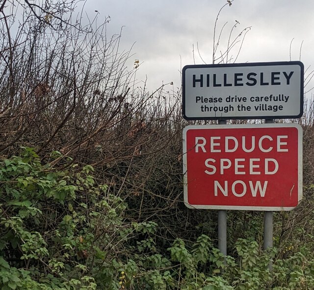
Hillesley and Tresham
Hillesley and Tresham is a civil parish in the Stroud District of Gloucestershire, England. It had a population of 591 according to the 2001 census, decreasing...
Rose Hill School, Alderley
Rose Hill School was a co-educational, boarding and day, Pre-preparatory and Preparatory School for children aged 2–14 years old. It was situated in Cotswold...

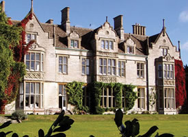
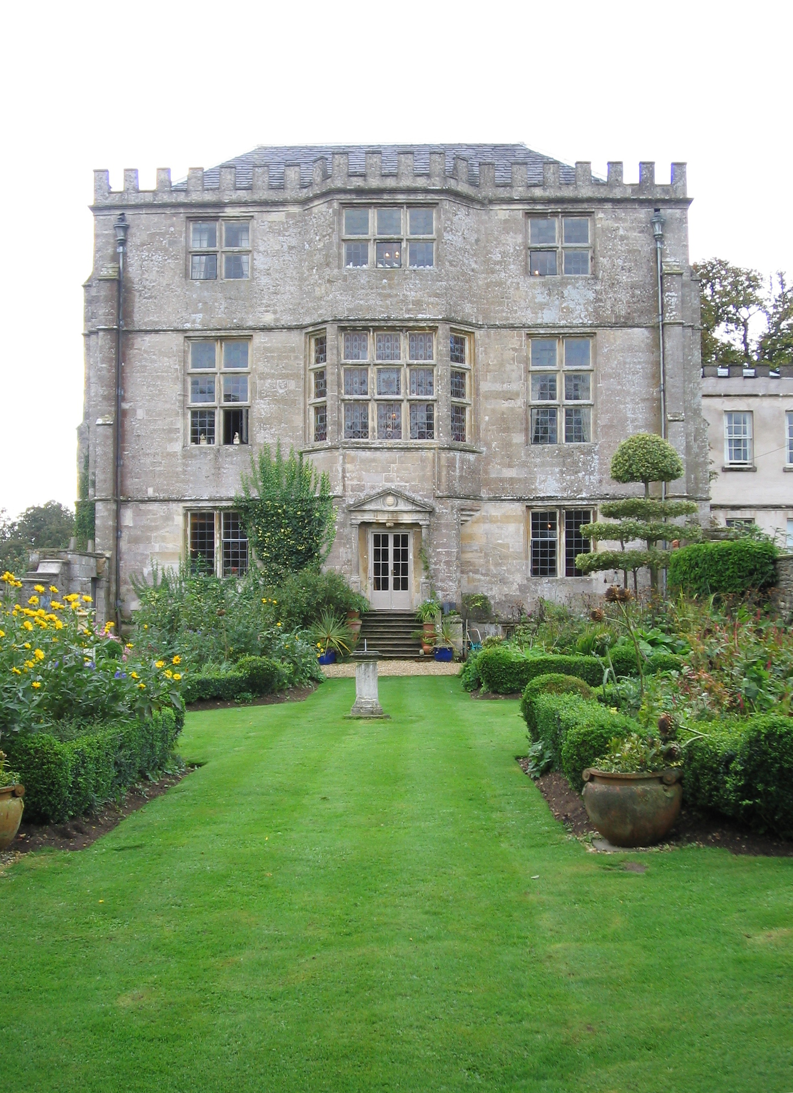
Alderley House
Alderley House is a mid-19th century 23,843 square feet (2,215.1 m2) Grade II listed country house designed by Lewis Vulliamy and built for Robert Blagden...

Hillesley
Hillesley is a village in Gloucestershire, England. It was transferred from the county of Avon in 1991 and is now in Stroud District. The village forms...
Tresham
Tresham is a village in Gloucestershire, England. It was transferred back from the county of Avon in 1991, having been in Gloucestershire before 1972....

Nind Nature Reserve
Nind Nature Reserve (grid reference ST755915) is a 3.75-hectare (9.3-acre) nature reserve in Gloucestershire.The site is managed by the Gloucestershire...
Newark Park
Newark Park is a Grade I listed country house of Tudor origins located near the village of Ozleworth, Wotton-under-Edge, Gloucestershire. The house sits...
Nearby Amenities
Located within 500m of 51.616145,-2.326876Have you been to Alderley?
Leave your review of Alderley below (or comments, questions and feedback).