Foxholes Wood

Wood, Forest in Gloucestershire Stroud

England

Foxholes Wood

The Fleece Inn, Hillesley, Gloucestershire Viewed across Chapel Lane.
The Fleece Inn, Hillesley, Gloucestershire Credit: Jaggery

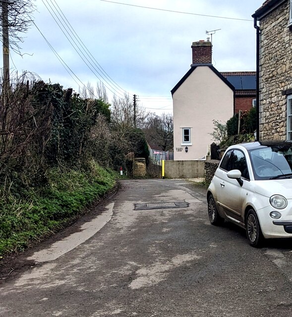
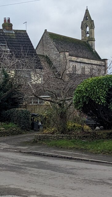
Foxholes Wood is a picturesque woodland located in the county of Gloucestershire, England. Covering an area of approximately 50 acres, it is situated near the village of Aylburton, just a few miles away from the bustling town of Lydney. The woodland is owned and managed by the Forestry Commission, and is a popular destination for both locals and tourists alike.

One of the prominent features of Foxholes Wood is its diverse range of tree species. The woodland is predominantly made up of broadleaf trees, including oak, beech, ash, and birch. These towering trees provide a dense canopy, creating a cool and peaceful atmosphere within the wood. The forest floor is carpeted with an array of wildflowers and ferns, adding to the natural beauty of the area.

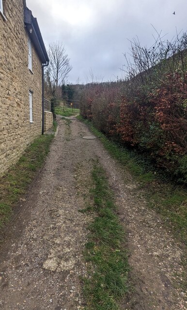
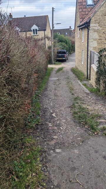
The wood is intersected by several well-marked footpaths, allowing visitors to explore its many enchanting corners. These paths lead to hidden glades, babbling streams, and small ponds, providing opportunities for peaceful walks and picnics. Wildlife is abundant in Foxholes Wood, with a wide variety of bird species, including woodpeckers and nuthatches, making it a haven for birdwatchers. Deer, badgers, and foxes can also be spotted within the wood, adding to its charm.

Furthermore, Foxholes Wood has a rich history, dating back centuries. The area was once used as a hunting ground by local lords, and remnants of ancient earthworks and ditches can still be seen today. There are also traces of charcoal kilns, highlighting the wood's historical importance in the production of charcoal.

Overall, Foxholes Wood is a tranquil and picturesque woodland, offering visitors a chance to immerse themselves in nature and explore its rich history.

If you have any feedback on the listing, please let us know in the comments section below.

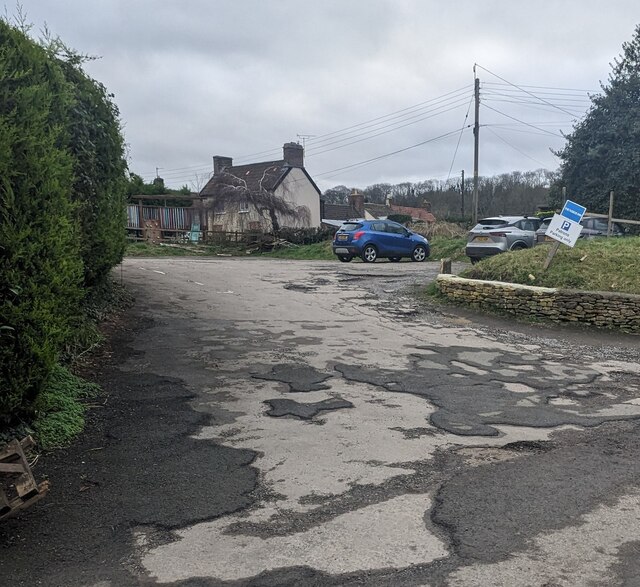
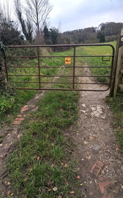
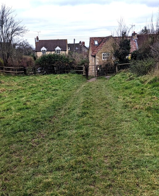
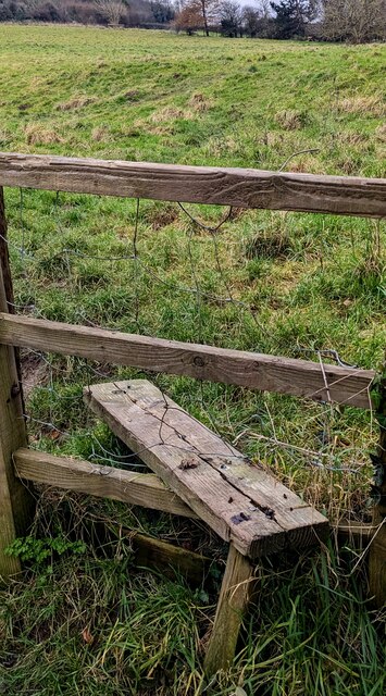
Foxholes Wood Images

Images are sourced within 2km of 51.612705/-2.3226978 or Grid Reference ST7790. Thanks to Geograph Open Source API. All images are credited.

The Fleece Inn, Hillesley, Gloucestershire Viewed across Chapel Lane.
The Fleece Inn, Hillesley, Gloucestershire
Viewed across Chapel Lane.
The Fleece Inn name sign, Hillesley, Gloucestershire Hanging from a wall bracket here. <a title="https://www.geograph.org.uk/photo/7671003" href="https://www.geograph.org.uk/photo/7671003">Link</a>
The Fleece Inn name sign, Hillesley, Gloucestershire
Hanging from a wall bracket here. Link
Yellow box, Chapel Lane, Hillesley, Gloucestershire Defibrillator box at an entrance to the Fleece Inn. <a title="https://www.geograph.org.uk/photo/7671003" href="https://www.geograph.org.uk/photo/7671003">Link</a>
Yellow box, Chapel Lane, Hillesley, Gloucestershire
Defibrillator box at an entrance to the Fleece Inn. Link
Chapel Lane houses, Hillesley, Gloucestershire The Fleece Inn <a title="https://www.geograph.org.uk/photo/7671003" href="https://www.geograph.org.uk/photo/7671003">Link</a> is behind the camera.
Chapel Lane houses, Hillesley, Gloucestershire
The Fleece Inn Link is behind the camera.
Fleece Inn Car Park, Hillesley, Gloucestershire Accessed from Chapel Lane a few metres from the inn. <a title="https://www.geograph.org.uk/photo/7671003" href="https://www.geograph.org.uk/photo/7671003">Link</a>
Fleece Inn Car Park, Hillesley, Gloucestershire
Accessed from Chapel Lane a few metres from the inn. Link
Gate across a public footpath, Hillesley, Gloucestershire SE of Chapel Lane. Text on the small yellow notice on the gate includes
POOP SCOOP AREA and CLEAN IT UP.
Gate across a public footpath, Hillesley, Gloucestershire
SE of Chapel Lane. Text on the small yellow notice on the gate includes POOP SCOOP AREA and CLEAN IT UP.
Public footpath through a field,  Hillesley, Gloucestershire SE of this <a title="https://www.geograph.org.uk/photo/7671047" href="https://www.geograph.org.uk/photo/7671047">Link</a> gate.
Public footpath through a field, Hillesley, Gloucestershire
SE of this Link gate.
NW along a public footpath, Hillesley, Gloucestershire Ahead for Chapel Lane and the Fleece Inn. <a title="https://www.geograph.org.uk/photo/7671003" href="https://www.geograph.org.uk/photo/7671003">Link</a>
NW along a public footpath, Hillesley, Gloucestershire
Ahead for Chapel Lane and the Fleece Inn. Link
Stile access to a public footpath, Hillesley, Gloucestershire No need for walkers to use this stile today - the adjacent gate <a title="https://www.geograph.org.uk/photo/7671047" href="https://www.geograph.org.uk/photo/7671047">Link</a> is not locked.
Stile access to a public footpath, Hillesley, Gloucestershire
No need for walkers to use this stile today - the adjacent gate Link is not locked.
Public footpath notices, Hillesley, Gloucestershire Gloucestershire County Council information for dog walkers.
The notices are alongside this <a title="https://www.geograph.org.uk/photo/7671047" href="https://www.geograph.org.uk/photo/7671047">Link</a> gate
Public footpath notices, Hillesley, Gloucestershire
Gloucestershire County Council information for dog walkers. The notices are alongside this Link gate
ENE along Chapel Lane, Hillesley, Gloucestershire Ahead for the former Baptist Chapel <a title="https://www.geograph.org.uk/photo/3662562" href="https://www.geograph.org.uk/photo/3662562">Link</a>
ENE along Chapel Lane, Hillesley, Gloucestershire
Ahead for the former Baptist Chapel Link
From Chapel Lane towards a public footpath, Hillesley, Gloucestershire Looking to the SE from Chapel Lane towards this <a title="https://www.geograph.org.uk/photo/7671047" href="https://www.geograph.org.uk/photo/7671047">Link</a> gate.
From Chapel Lane towards a public footpath, Hillesley, Gloucestershire
Looking to the SE from Chapel Lane towards this Link gate.
Towards Chapel Lane from a public footpath, Hillesley, Gloucestershire This <a title="https://www.geograph.org.uk/photo/7671047" href="https://www.geograph.org.uk/photo/7671047">Link</a> gate is behind the camera.
Towards Chapel Lane from a public footpath, Hillesley, Gloucestershire
This Link gate is behind the camera.
Towards the village church,  Hillesley, Gloucestershire Looking across High Street towards the Church of St Giles.
Towards the village church, Hillesley, Gloucestershire
Looking across High Street towards the Church of St Giles.
HILLESLEY  - Please drive carefully through the village Alongside the minor road from  Kingswood (Gloucestershire).
HILLESLEY - Please drive carefully through the village
Alongside the minor road from Kingswood (Gloucestershire).
Grade II Listed St Giles, Hillesley, Gloucestershire The church in the Church of England Diocese of Gloucester dates from 1851.
Grade II Listed in 1983.
Grade II Listed St Giles, Hillesley, Gloucestershire
The church in the Church of England Diocese of Gloucester dates from 1851. Grade II Listed in 1983.
Churchyard path, Hillesley, Gloucestershire Looking west from the High Street entrance.
The Church of St Giles <a title="https://www.geograph.org.uk/photo/7673274" href="https://www.geograph.org.uk/photo/7673274">Link</a> is on the right.
Churchyard path, Hillesley, Gloucestershire
Looking west from the High Street entrance. The Church of St Giles Link is on the right.
House opposite the churchyard, Hillesley, Gloucestershire Viewed from St Giles churchyard.
House opposite the churchyard, Hillesley, Gloucestershire
Viewed from St Giles churchyard.
Show me another place!

Foxholes Wood is located at Grid Ref: ST7790 (Lat: 51.612705, Lng: -2.3226978)

Administrative County: Gloucestershire

District: Stroud

Police Authority: Gloucestershire

What 3 Words

///sheets.mainland.socialite. Near Wotton-under-Edge, Gloucestershire

Related Wikis

Hillesley and Tresham

Hillesley and Tresham is a civil parish in the Stroud District of Gloucestershire, England. It had a population of 591 according to the 2001 census, decreasing...

Alderley, Gloucestershire

Alderley (also previously known as Alderleigh) is a village and civil parish in the Stroud district of Gloucestershire, England, about fourteen miles southwest...

Rose Hill School, Alderley

Rose Hill School was a co-educational, boarding and day, Pre-preparatory and Preparatory School for children aged 2–14 years old. It was situated in Cotswold...
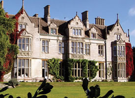
Alderley House

Alderley House is a mid-19th century 23,843 square feet (2,215.1 m2) Grade II listed country house designed by Lewis Vulliamy and built for Robert Blagden...
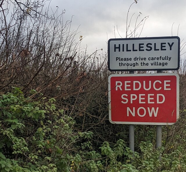
Hillesley

Hillesley is a village in Gloucestershire, England. It was transferred from the county of Avon in 1991 and is now in Stroud District. The village forms...

Tresham

Tresham is a village in Gloucestershire, England. It was transferred back from the county of Avon in 1991, having been in Gloucestershire before 1972....

Midger

Midger (grid reference ST797895) is a 65.7-hectare (162-acre) biological Site of Special Scientific Interest straddling the border of Gloucestershire and...

Nind Nature Reserve

Nind Nature Reserve (grid reference ST755915) is a 3.75-hectare (9.3-acre) nature reserve in Gloucestershire.The site is managed by the Gloucestershire...

Nearby Amenities

Located within 500m of 51.612705,-2.3226978
Power: pole
Lat/Long: 51.6088416/-2.3257912
The data included in this document is from www.openstreetmap.org. The data is made available under ODbL.

Have you been to Foxholes Wood?

Leave your review of Foxholes Wood below (or comments, questions and feedback).