Alderholt
Civil Parish in Dorset East Dorset
England
Alderholt

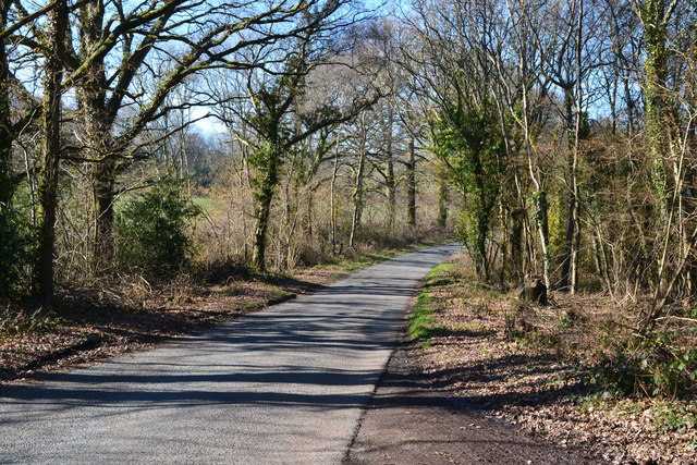
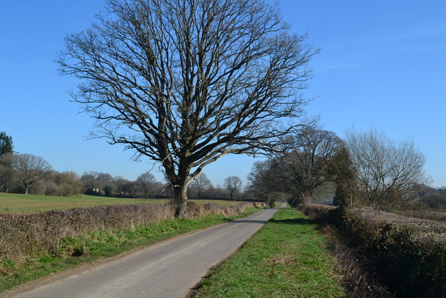
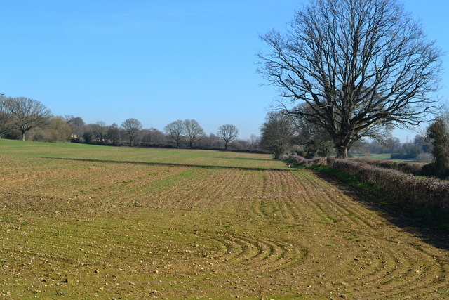
Alderholt is a civil parish located in the county of Dorset, England. Situated on the southeastern edge of the Cranborne Chase and West Wiltshire Downs Area of Outstanding Natural Beauty, it offers a picturesque countryside setting. The parish is surrounded by beautiful landscapes, including rolling hills, woodlands, and meadows, making it a popular destination for nature lovers and outdoor enthusiasts.
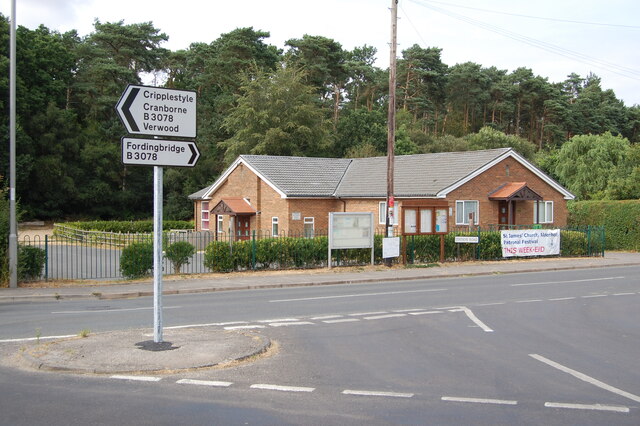
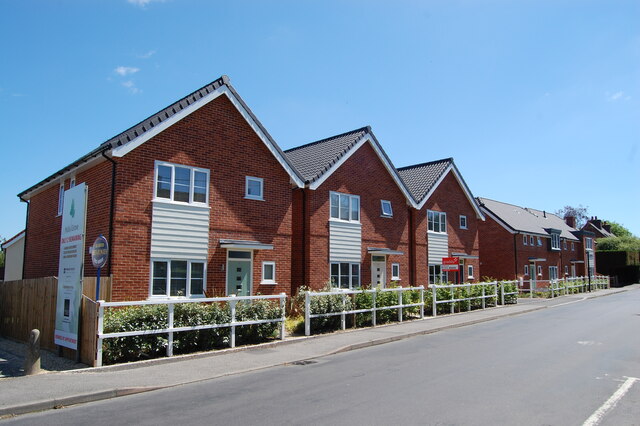
The village of Alderholt itself is a small and close-knit community with a population of around 3,000 residents. It has a charming and quintessentially English feel, characterized by its traditional thatched cottages and historic buildings. The village is well-served with amenities, including a primary school, a post office, a village hall, and a selection of local shops and pubs.
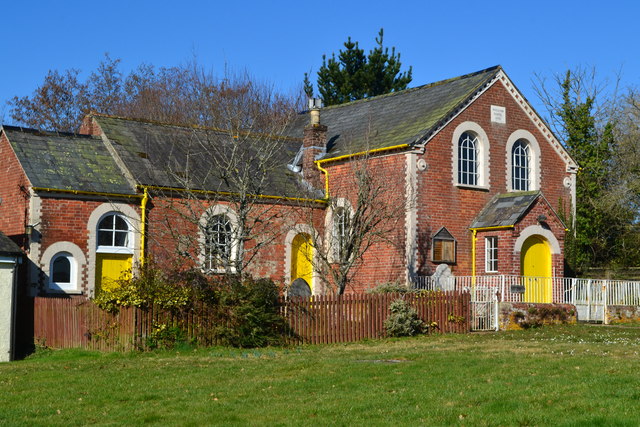
Alderholt boasts a rich history, dating back to at least the medieval period. The village was mentioned in the Domesday Book of 1086, and remnants of its past can still be seen today. The local church, St. James, is a notable landmark, with parts of its structure dating back to the 13th century.
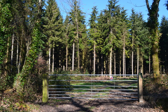
For those seeking recreational activities, Alderholt offers a range of options. The surrounding countryside provides ample opportunities for walking, cycling, and horse riding, with numerous trails and bridleways to explore. Additionally, nearby attractions such as the New Forest National Park and the historical city of Salisbury are within easy reach, providing further options for leisure and entertainment.
Overall, Alderholt is a charming and idyllic parish, offering residents and visitors a tranquil rural setting with a strong sense of community and a wealth of natural beauty to explore.
If you have any feedback on the listing, please let us know in the comments section below.
Alderholt Images
Images are sourced within 2km of 50.911294/-1.848569 or Grid Reference SU1012. Thanks to Geograph Open Source API. All images are credited.


Alderholt is located at Grid Ref: SU1012 (Lat: 50.911294, Lng: -1.848569)
Administrative County: Dorset
District: East Dorset
Police Authority: Dorset
What 3 Words
///corrode.daffodils.surveyors. Near Alderholt, Dorset
Nearby Locations
Related Wikis
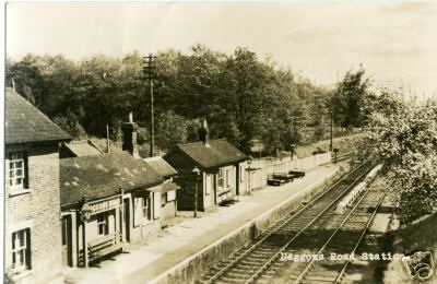
Daggons Road railway station
Daggons Road was a railway station serving the village of Alderholt, in Dorset, to the south west of Fordingbridge, in Hampshire. It was one of many casualties...

Alderholt
Alderholt is a large village and civil parish in east Dorset, England; situated 3 miles (4.8 km) west of Fordingbridge. The parish includes the hamlets...

Lower Daggons
Lower Daggons is a hamlet in the New Forest district of Hampshire, England. At the 2011 Census the Post Office affirmed the population was included in...
Broxhill
Bull Hill, Dorset, Daggons and Broxhill are adjoining hamlets (mainly of Alderholt village) notable for planted woodland and tree cultivation south of...

Cripplestyle
Cripplestyle is a hamlet in the civil parish of Alderholt in the county of Dorset, England. It lies close to the Dorset-Hampshire border. The nearest town...
Lopshill
Lopshill is a hamlet in the New Forest district in Hampshire, England. It is in the civil parish of Damerham. It is about 4 miles (7 km) from the New...

Crendell
Crendell is a hamlet in the civil parish of Alderholt in the East Dorset district of Dorset, England. The hamlet is close to the Dorset-Hampshire border...

Sandleheath
Sandleheath is a village and civil parish about 1.8 miles (2.9 km) west of Fordingbridge in the New Forest District of Hampshire, England. It has a...
Related Videos
Mum, family and I
Trip to the coast, Poole quay, milford on sea, and Three legged cross pub.

UK Bonsai Association Workshop With Peter Warren
CLICK TO SEE MORE BONSAI VIDEOS - https://bit.ly/36ffPt1 Part of the The UK Bonsai Association's mission is to spread the ...

Peter Walks on Water by Mike Botto
Sermon from the 9th August 2020. Mike challenges us to believe that God believes in us!

Dorset Heavy Horse Center | Full Tour | Family Day Out, Activity Park, Vintage Fairground Rides
Fantastic Family day out in Dorset at a home for rare breeds of heavy horses. Come along and treasure a unique experience ...
Nearby Amenities
Located within 500m of 50.911294,-1.848569Have you been to Alderholt?
Leave your review of Alderholt below (or comments, questions and feedback).