Alconbury Weston

Civil Parish in Huntingdonshire Huntingdonshire

England

Alconbury Weston

Old Milestone, Ermine Street On the Great North Road (ex A1). On the NE side of the road.

Inscription: from / London / 66 / Miles / to / Stilton / 9 / Miles

Milestone Society National ID:  HU_LY66
Old Milestone, Ermine Street Credit: Ivan Clare

Alconbury Weston is a civil parish located in the district of Huntingdonshire, in the county of Cambridgeshire, England. Situated approximately 8 miles northwest of Huntingdon town, the parish covers an area of about 3 square miles.

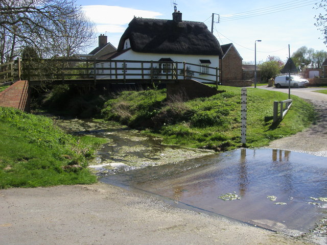
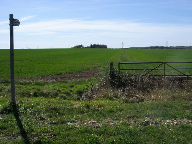
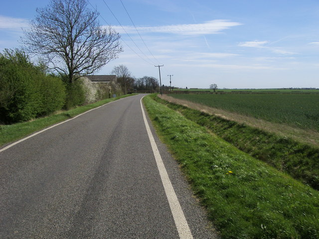
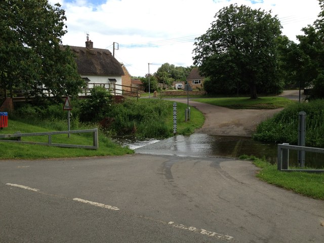
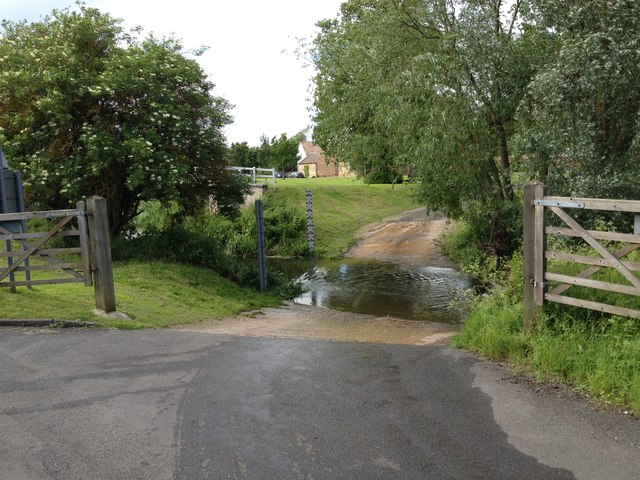
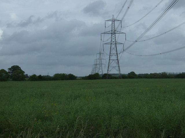
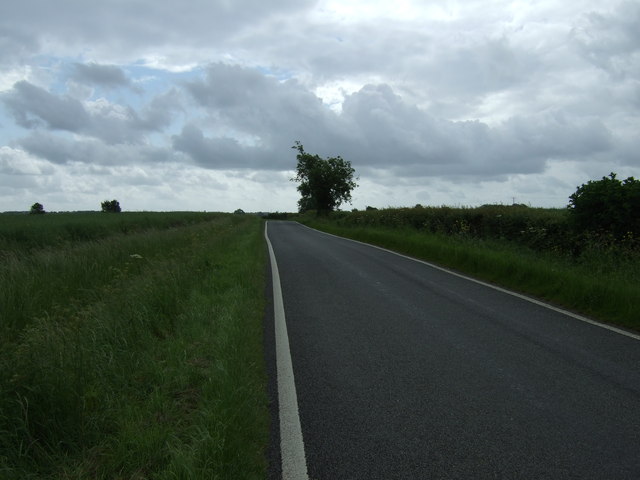
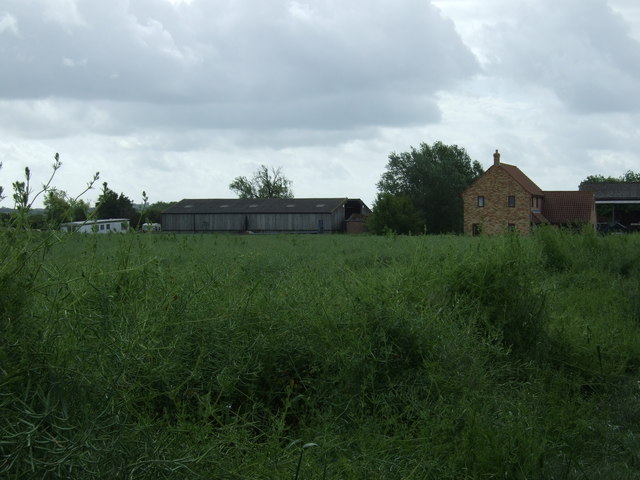
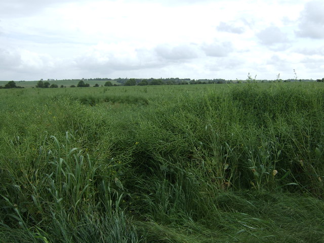
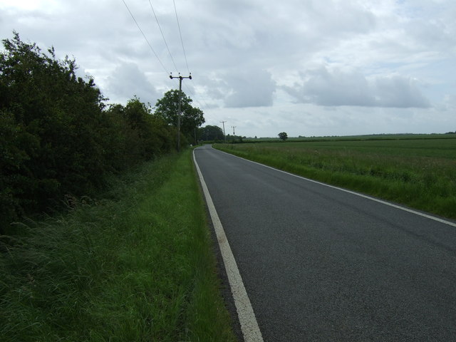
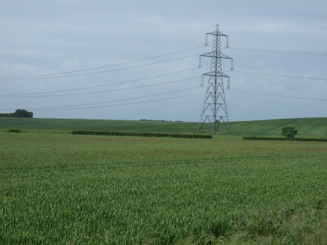
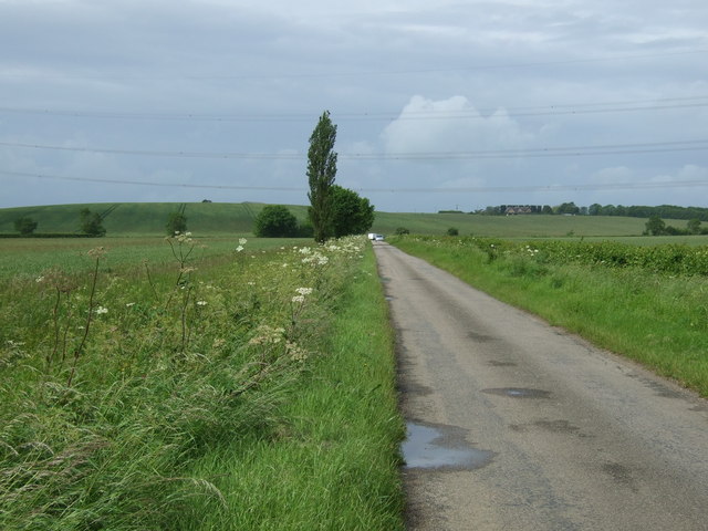
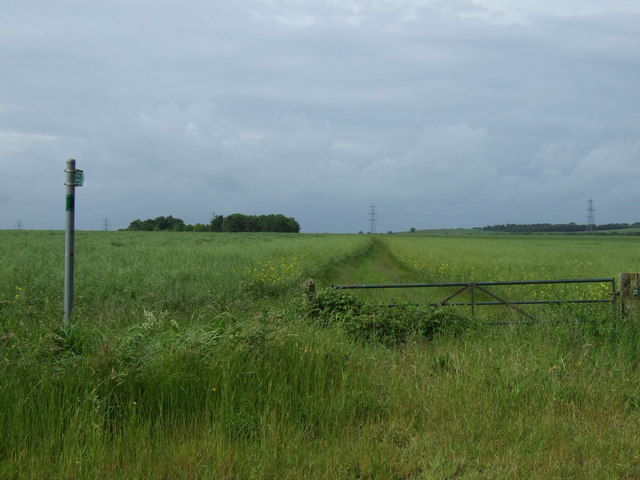
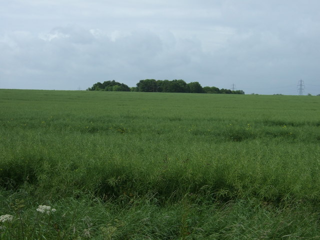
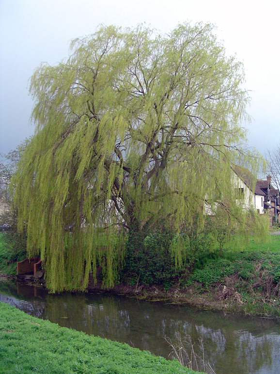
The parish is primarily a rural area with a small population of around 300 residents. It is surrounded by picturesque countryside, featuring open fields, meadows, and woodlands. The landscape is dotted with charming cottages and farmhouses, adding to its scenic beauty.

Historically, Alconbury Weston was mentioned in the Domesday Book of 1086, indicating its long-standing presence. The village has seen minimal development over the years, preserving its traditional and rustic character. It offers a peaceful and tranquil environment, making it an attractive place for those seeking a quiet and idyllic lifestyle.

The parish does not have its own church, but it is served by the nearby All Saints Church in the neighboring village of Alconbury. There are also limited amenities within the parish, with the nearest shops and services located in the nearby towns of Huntingdon and St. Ives.

Alconbury Weston is well-connected to surrounding areas, with good road links to major towns and cities. The A1(M) motorway is easily accessible, providing convenient access to London and other parts of the country. Additionally, the area benefits from regular bus services, ensuring residents have access to public transportation.

Overall, Alconbury Weston offers a peaceful and picturesque rural setting, making it a desirable place for those seeking a quiet and scenic lifestyle away from the hustle and bustle of urban areas.

If you have any feedback on the listing, please let us know in the comments section below.

Alconbury Weston Images

Images are sourced within 2km of 52.375839/-0.277222 or Grid Reference TL1776. Thanks to Geograph Open Source API. All images are credited.

Old Milestone, Ermine Street On the Great North Road (ex A1). On the NE side of the road.

Inscription: from / London / 66 / Miles / to / Stilton / 9 / Miles

Milestone Society National ID:  HU_LY66
Old Milestone, Ermine Street
On the Great North Road (ex A1). On the NE side of the road. Inscription: from / London / 66 / Miles / to / Stilton / 9 / Miles Milestone Society National ID: HU_LY66
Joining the A1(M) The junction of the A1(M) and A14.
Joining the A1(M)
The junction of the A1(M) and A14.
A1(M), Alconbury Hill The A1 is the longest numbered road in the UK at 410 miles long. It connects London with Edinburgh, via the east of England. 
For much of its path it follows the Great North Road the old coaching route between London and Edinburgh. Several sections of the route are classified as motorway A1(M). The modern A1 bypasses the towns the Great North Road passed through and is dual carriageway for most of its route through England.
A1(M), Alconbury Hill
The A1 is the longest numbered road in the UK at 410 miles long. It connects London with Edinburgh, via the east of England. For much of its path it follows the Great North Road the old coaching route between London and Edinburgh. Several sections of the route are classified as motorway A1(M). The modern A1 bypasses the towns the Great North Road passed through and is dual carriageway for most of its route through England.
The A14(M) joins the A1(M) North of the junction the A1(M) has eight lanes for some distance.
The A14(M) joins the A1(M)
North of the junction the A1(M) has eight lanes for some distance.
Alconbury Brook The ford on Alconbury Brook at Alconbury Weston
Alconbury Brook
The ford on Alconbury Brook at Alconbury Weston
Footpath to Park Farm Footpath to Park Farm off the Buckworth Road
Footpath to Park Farm
Footpath to Park Farm off the Buckworth Road
Road to Alconbury Weston Road to Alconbury Weston by Brickyard Farm
Road to Alconbury Weston
Road to Alconbury Weston by Brickyard Farm
Ford at Alconbury Weston This gated ford is found in Alconbury Weston. The ford on the Alconbury Brook provides access between High Street and Hamerton Road.
Ford at Alconbury Weston
This gated ford is found in Alconbury Weston. The ford on the Alconbury Brook provides access between High Street and Hamerton Road.
Alconbury Ford This gated ford is found in Alconbury.
Alconbury Ford
This gated ford is found in Alconbury.
Crop field and pylons
High Street (Roman Road) heading east
Farmland, Brickyard Farm
Crop field, Brickyard Farm
High Street (Roman Road)
Farmland near Buckworth
Minor road towards Buckworth
Footpath near Corner Farm
Farmland, Four Winds Farm
Show me another place!

Alconbury Weston is located at Grid Ref: TL1776 (Lat: 52.375839, Lng: -0.277222)

Administrative County: Cambridgeshire

District: Huntingdonshire

Police Authority: Cambridgeshire

What 3 Words

///satellite.offstage.udder. Near Alconbury, Cambridgeshire

Related Wikis

Alconbury Weston

Alconbury Weston – in Huntingdonshire (now part of Cambridgeshire), England – is a village and civil parish, lying just outside of the Fens, having just...

Upton, Huntingdonshire

Upton is a village and former civil parish, now in the parish of Upton and Coppingford, in the Huntingdonshire district, in the county of Cambridgeshire...

Alconbury

Alconbury is a village and civil parish in Cambridgeshire, England. Alconbury is situated within Huntingdonshire which is a non-metropolitan district of...

Buckworth

Buckworth is a village and civil parish in Cambridgeshire, England. Buckworth lies approximately 7 miles (11 km) northwest of Huntingdon and covers an...

Nearby Amenities

Located within 500m of 52.375839,-0.277222
Created By: Merkaartor 0.12
Lat/Long: 52.3755861/-0.2730112
Created By: Merkaartor 0.12
Lat/Long: 52.3766111/-0.272389
Created By: Merkaartor 0.12
Lat/Long: 52.3751669/-0.2738266
Bus Stop
Buckworth Road
Bus: yes
Naptan AtcoCode: 0500HALCW002
Naptan Bearing: SE
Naptan CommonName: Buckworth Road
Naptan Indicator: opp
Naptan Landmark: Buckworth Road
Naptan NaptanCode: cmbdmpgp
Naptan ShortCommonName: Buckworth Road
Naptan Street: North Road
Naptan Verified: no
Public Transport: platform
Source: naptan_import
Lat/Long: 52.3743864/-0.270525
Bus Stop
Buckworth Road
Bus: yes
Naptan AtcoCode: 0500HALCW005
Naptan Bearing: N
Naptan CommonName: Buckworth Road
Naptan Indicator: near
Naptan Landmark: Buckworth Road
Naptan NaptanCode: cmbdmpja
Naptan ShortCommonName: Buckworth Road
Naptan Street: North Road
Naptan Verified: no
Public Transport: platform
Source: naptan_import
Lat/Long: 52.3746251/-0.2708567
Ford: yes
Lat/Long: 52.3778153/-0.2708948
Barrier: stile
Foot: yes
Lat/Long: 52.3779196/-0.2758702
Barrier: stile
Foot: yes
Lat/Long: 52.3783808/-0.2746681
Traffic Calming: cushion
Lat/Long: 52.3758374/-0.2707811
The data included in this document is from www.openstreetmap.org. The data is made available under ODbL.

Have you been to Alconbury Weston?

Leave your review of Alconbury Weston below (or comments, questions and feedback).