Alconbury

Civil Parish in Huntingdonshire Huntingdonshire

England

Alconbury

Bridleway towards the A1
Bridleway towards the A1 Credit: Jonathan Thacker

The requested URL returned error: 429 Too Many Requests

If you have any feedback on the listing, please let us know in the comments section below.
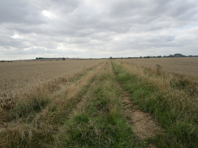
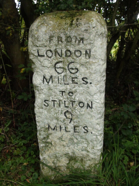
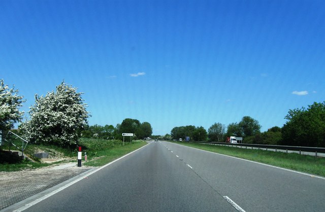
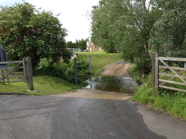
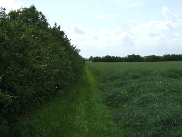
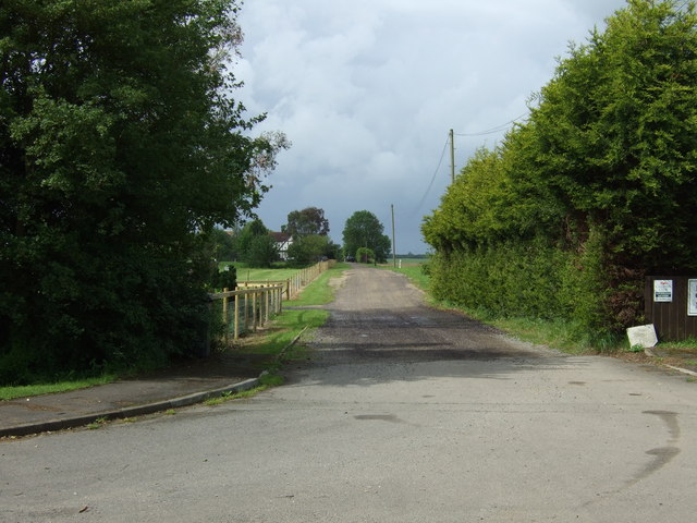
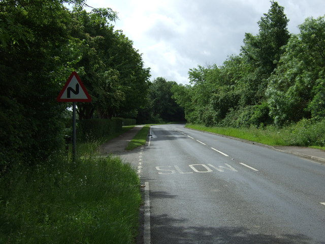
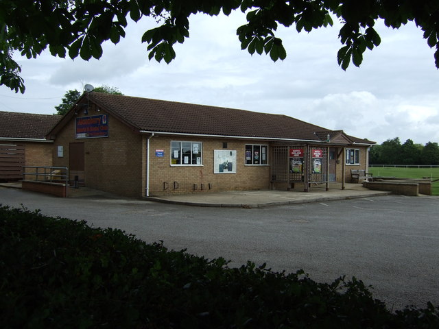
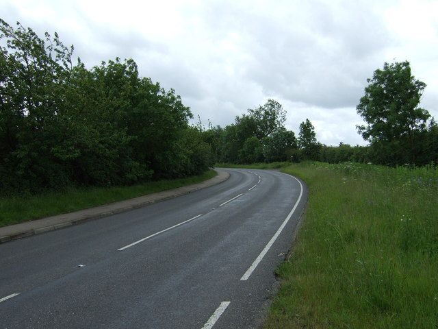
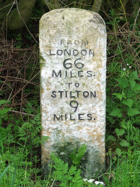
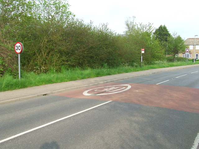
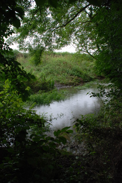
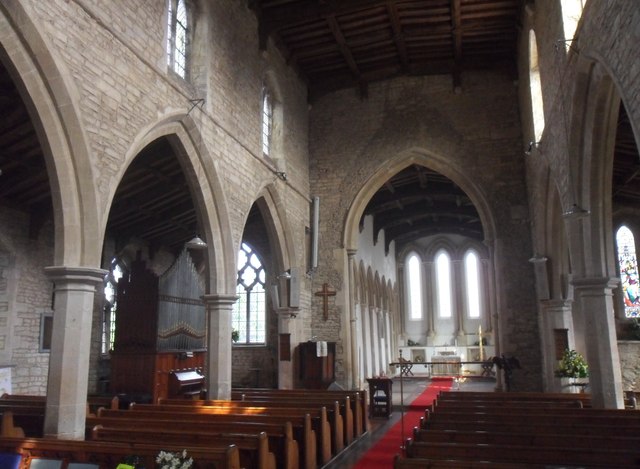
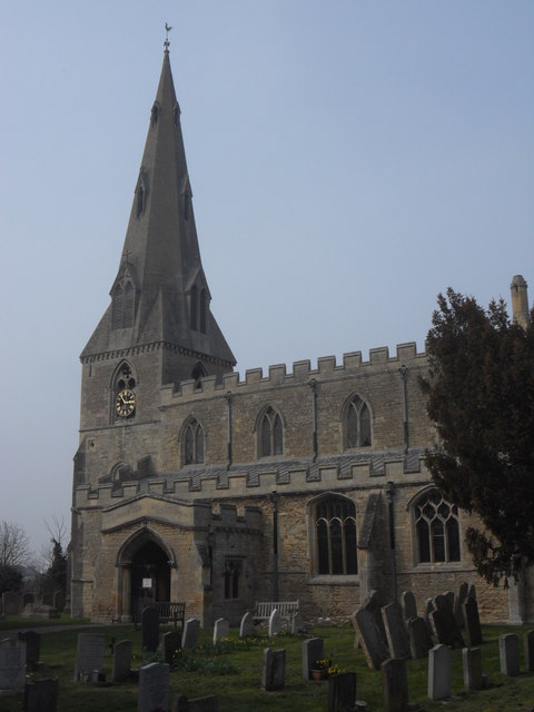
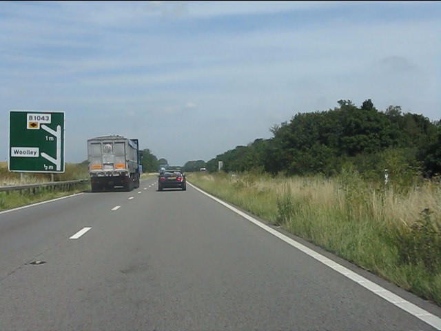
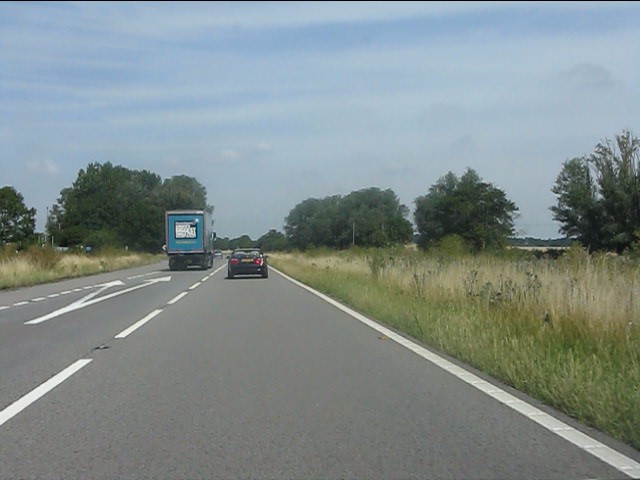
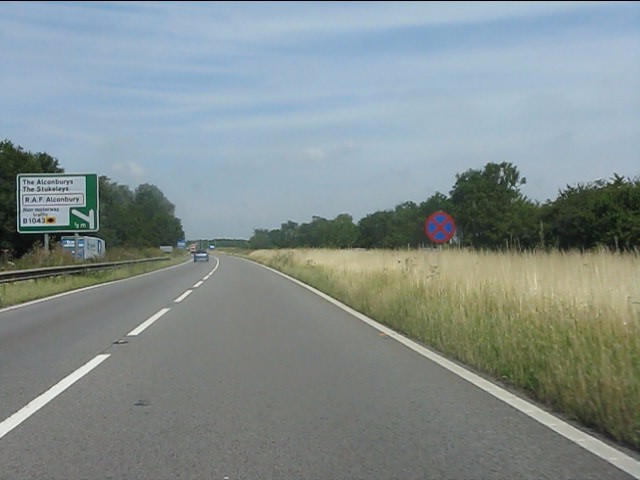
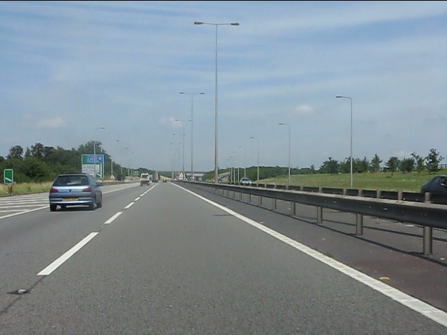
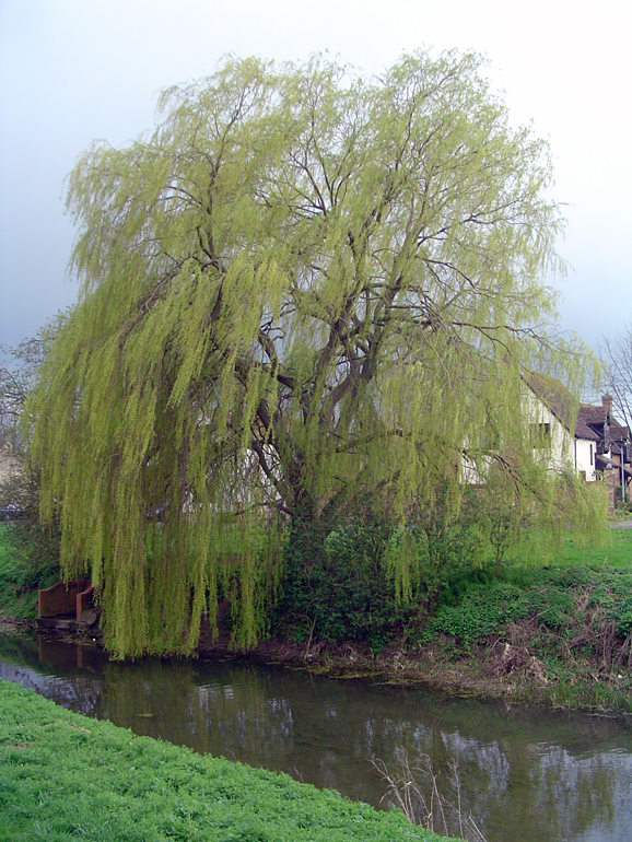
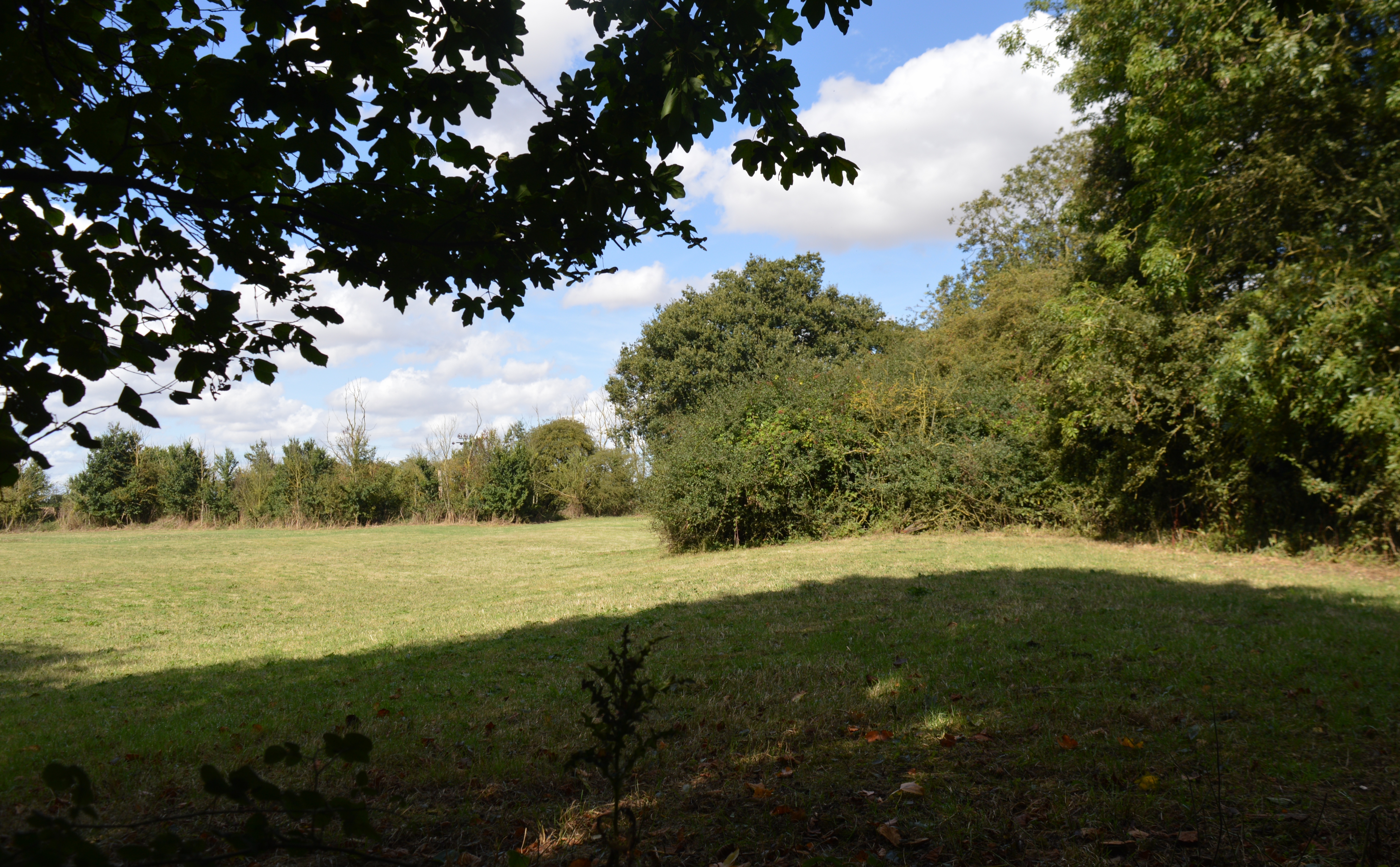
Alconbury Images

Images are sourced within 2km of 52.355716/-0.262512 or Grid Reference TL1874. Thanks to Geograph Open Source API. All images are credited.

Bridleway towards the A1
Old Milestone, Ermine Street On the Great North Road (ex A1). On the NE side of the road.

Inscription: from / London / 66 / Miles / to / Stilton / 9 / Miles

Milestone Society National ID:  HU_LY66
Old Milestone, Ermine Street
On the Great North Road (ex A1). On the NE side of the road. Inscription: from / London / 66 / Miles / to / Stilton / 9 / Miles Milestone Society National ID: HU_LY66
A1 turning for Woolley
Alconbury Ford This gated ford is found in Alconbury.
Alconbury Ford
This gated ford is found in Alconbury.
Hedgerow and field
Hedgerow and field
Track to Mill Farm
Track to Mill Farm
Great North Road towards Alconbury
Alconbury Sports & Social Club
Great North Road towards Alconbury
Old Milestone Old milestone at Alconbury, Cambridgeshire for overall view see <a title="https://www.geograph.org.uk/photo/2999278" href="https://www.geograph.org.uk/photo/2999278">Link</a>
Old Milestone
Old milestone at Alconbury, Cambridgeshire for overall view see Link
Old Milestone Old milestone out of sight in the ditch next to the 30 mph sign at Alconbury, Cambridgeshire for close up view see <a title="https://www.geograph.org.uk/photo/2999262" href="https://www.geograph.org.uk/photo/2999262">Link</a>
Old Milestone
Old milestone out of sight in the ditch next to the 30 mph sign at Alconbury, Cambridgeshire for close up view see Link
Ford on the Alconbury Brook This ford is found adjacent to the wooden footbridge at the end of Polecat Lane. It appears to be used mainly by horse riders.
Ford on the Alconbury Brook
This ford is found adjacent to the wooden footbridge at the end of Polecat Lane. It appears to be used mainly by horse riders.
Interior of St Peter & St Paul's, Alconbury
St Peter & St Paul's, Alconbury
A1 - half-mile to the Woolley exit At this point the A1 is a dual carriageway road of 1950s/60s design: no emergency lane (hard shoulder) and, remarkably for 2013, no anti-collision barriers in the central reservation.  All will change in a mile when the road is transformed into a motorway.
A1 - half-mile to the Woolley exit
At this point the A1 is a dual carriageway road of 1950s/60s design: no emergency lane (hard shoulder) and, remarkably for 2013, no anti-collision barriers in the central reservation. All will change in a mile when the road is transformed into a motorway.
A1 at the junction for Woolley The complete absence of any collision barriers is noteworthy.
A1 at the junction for Woolley
The complete absence of any collision barriers is noteworthy.
A1 at Matcham's Bridge The A1 here is a straightforward dual-carriageway road, open to all vehicles, though the sign to the right indicates that no stopping is permitted on the main carriageway.  A lay-by features on the left to enable vehicle drivers to take a break.  The left-hand sign has been updated with additional text squeezed in to indicate that non-motorway traffic must leave at the next exit.
A1 at Matcham's Bridge
The A1 here is a straightforward dual-carriageway road, open to all vehicles, though the sign to the right indicates that no stopping is permitted on the main carriageway. A lay-by features on the left to enable vehicle drivers to take a break. The left-hand sign has been updated with additional text squeezed in to indicate that non-motorway traffic must leave at the next exit.
A1 - 100 metres to the Alconbury exit
Show me another place!

Alconbury is located at Grid Ref: TL1874 (Lat: 52.355716, Lng: -0.262512)

Administrative County: Cambridgeshire

District: Huntingdonshire

Police Authority: Cambridgeshire

What 3 Words

///proofread.perfume.wedding. Near Alconbury, Cambridgeshire

Nearby Locations

Alconbury

Related Wikis

Alconbury

Alconbury is a village and civil parish in Cambridgeshire, England. Alconbury is situated within Huntingdonshire which is a non-metropolitan district of...

Alconbury Weald

Alconbury Weald is a new settlement in Cambridgeshire, England, lying to the north-west of the town of Huntingdon. The site was previously part of RAF...

Alconbury Weston

Alconbury Weston – in Huntingdonshire (now part of Cambridgeshire), England – is a village and civil parish, lying just outside of the Fens, having just...

Brampton Meadow

Brampton Meadow is a one hectare biological Site of Special Scientific Interest north-west of Brampton in Cambridgeshire, England.The site has a rich variety...

Related Videos

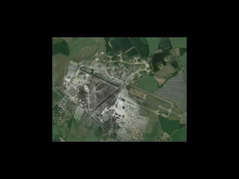
RAF Alconbury Travelling back to the past

A travel back to RAF Alconbury past 2018-1940s.

If You Leave Your Details With Us So We Can Check With The UAV's And The ICO And All That 🎥🤣

PART 3 OF #CampBeagle Protest. Links to all parts will be below as they are published - PART 1 - https://youtu.be/I2nTPwKXf-8 ...

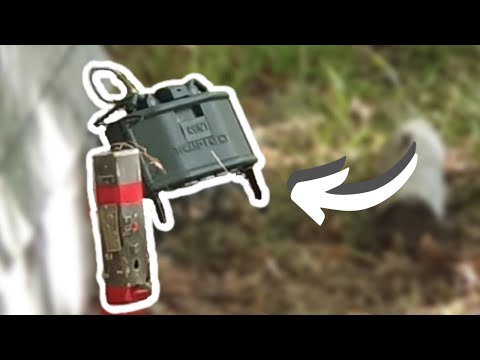
I Took An Airsoft CLAYMORE To An Airsoft Event! (OVERPOWERED!)

Just want to quickly thank the awesome sports in this video who took their hits and the folks down at Maddog Airsoft (High Harthay ...

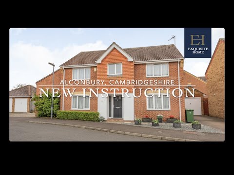
Extended, Four Bedroom Detached Family Home For Sale in Alconbury, Cambridgeshire

Standing on a small development built in 1999 and backing on to open farmland is this detached double fronted house for sale, ...

Nearby Amenities

Located within 500m of 52.355716,-0.262512
Created By: Merkaartor 0.12
Lat/Long: 52.3522369/-0.2598829
Created By: Merkaartor 0.12
Lat/Long: 52.352663/-0.261011
Created By: Merkaartor 0.12
Lat/Long: 52.3528399/-0.2622709
Created By: Merkaartor 0.12
Lat/Long: 52.3528983/-0.2636396
Created By: Merkaartor 0.12
Lat/Long: 52.352859/-0.264838
Created By: Merkaartor 0.12
Lat/Long: 52.3528067/-0.2653562
Created By: Merkaartor 0.12
Lat/Long: 52.3527689/-0.265673
Created By: Merkaartor 0.12
Lat/Long: 52.3528393/-0.2660751
Created By: Merkaartor 0.12
Lat/Long: 52.353081/-0.26642
Created By: Merkaartor 0.12
Lat/Long: 52.353469/-0.26664
Created By: Merkaartor 0.12
Lat/Long: 52.353665/-0.266936
Created By: Merkaartor 0.12
Lat/Long: 52.3538459/-0.2672599
Created By: Merkaartor 0.12
Lat/Long: 52.354253/-0.268538
Power: pole
Lat/Long: 52.3562583/-0.2571167
Power: pole
Lat/Long: 52.3576982/-0.2569666
Power: pole
Lat/Long: 52.3553197/-0.2568646
Power: pole
Lat/Long: 52.3572379/-0.2573716
Noexit: yes
Lat/Long: 52.3546142/-0.2583591
Noexit: yes
Lat/Long: 52.3550535/-0.2562981
Noexit: yes
Lat/Long: 52.3549496/-0.2576086
Operator: GPSS
Pipeline: marker
Substance: oil
Support: pole
Lat/Long: 52.3590424/-0.2604546
Operator: GPSS
Pipeline: marker
Substance: oil
Support: pole
Lat/Long: 52.35598/-0.2591164
The data included in this document is from www.openstreetmap.org. The data is made available under ODbL.

Have you been to Alconbury?

Leave your review of Alconbury below (or comments, questions and feedback).