Alciston

Civil Parish in Sussex Wealden

England

Alciston

View WNW towards Mount Caburn This was taken from the permissive path that links the Old Coach Road to Charleston Farmhouse.
View WNW towards Mount Caburn Credit: Ian Cunliffe

Alciston is a small civil parish located in Sussex, England. It is situated within the Wealden District, approximately 12 miles east of Lewes and 7 miles north of Eastbourne. The parish covers an area of around 3 square miles and has a population of approximately 200 people.

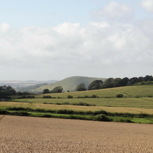
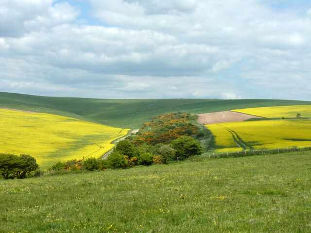
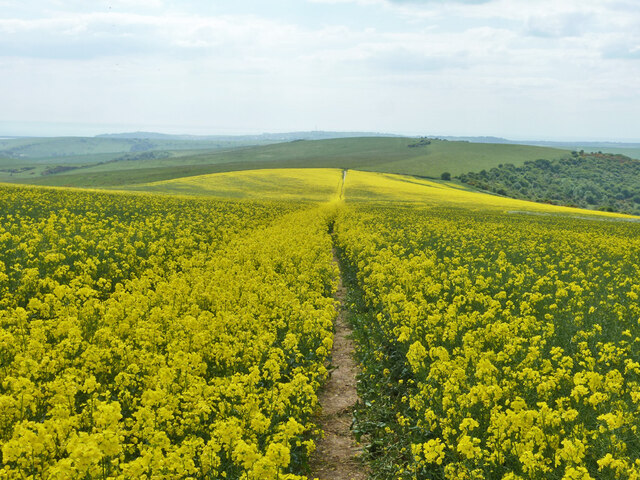
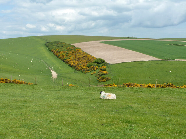
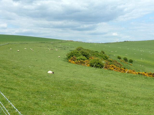
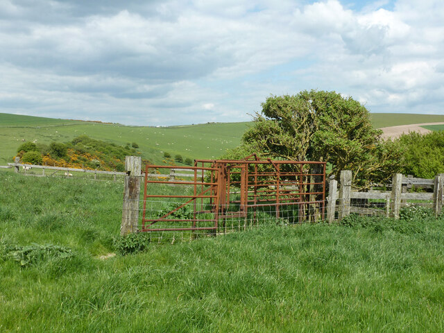
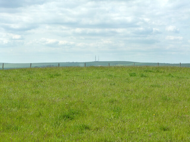
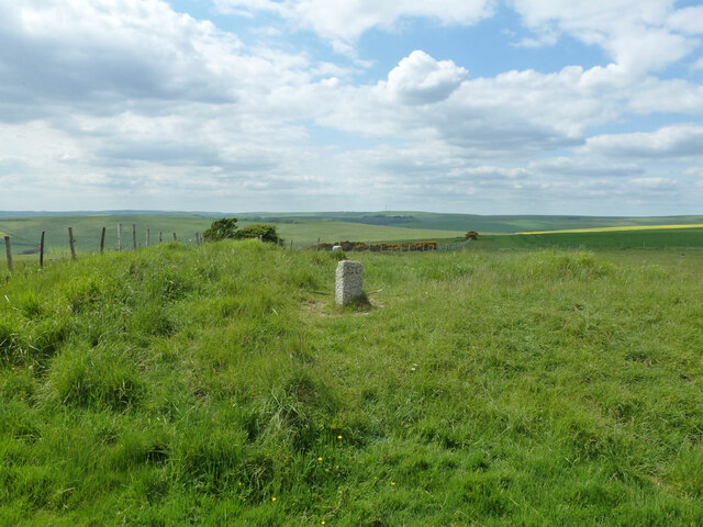
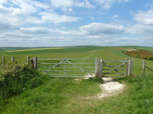
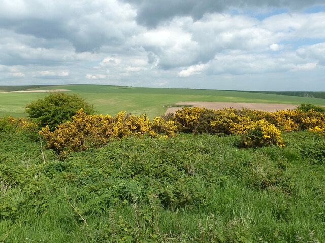
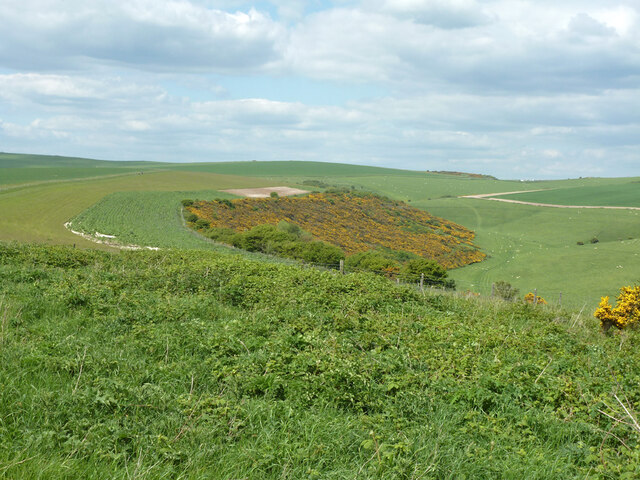
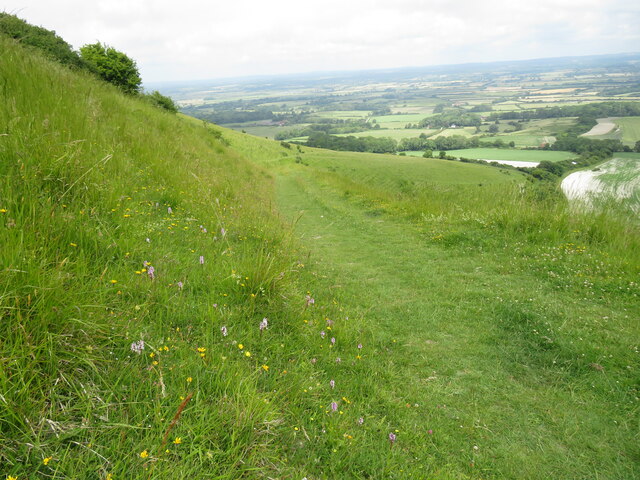
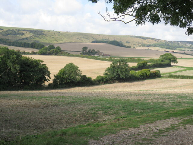
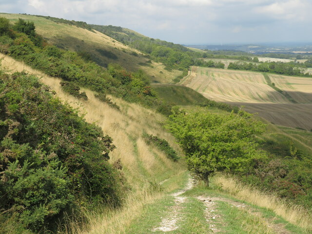
The village of Alciston is nestled in the picturesque South Downs National Park, surrounded by rolling hills and beautiful countryside. It is known for its charming and traditional appearance, with many historic buildings and thatched cottages lining its streets. The village church, St. Mary the Virgin, dates back to the 12th century and is a prominent feature of the area.

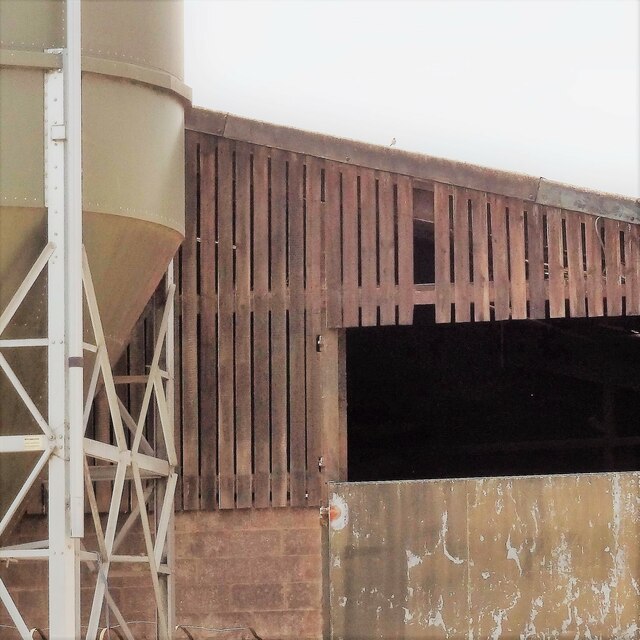
Agriculture has played a significant role in the economy of Alciston for centuries, with farming being the main occupation of many residents. The area is known for its fertile soil and is particularly suited for arable farming and grazing livestock.

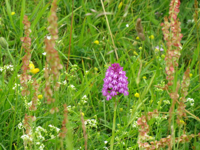
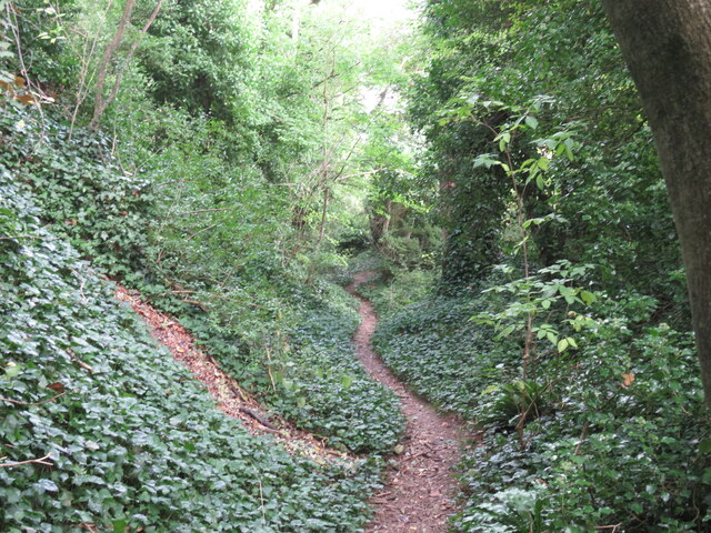
Alciston is also popular with tourists and visitors who come to explore the South Downs and enjoy the peaceful rural setting. The surrounding area offers numerous walking and cycling routes, providing stunning views of the countryside.

Although small in size, Alciston has a strong sense of community and residents take pride in preserving the village's heritage and natural beauty. Local amenities include a village hall and a pub, providing a focal point for social activities and gatherings.

Overall, Alciston offers a tranquil and idyllic setting, making it a desirable place to live or visit for those seeking a rural retreat in the heart of Sussex.

If you have any feedback on the listing, please let us know in the comments section below.

Alciston Images

Images are sourced within 2km of 50.827794/0.12371 or Grid Reference TQ4905. Thanks to Geograph Open Source API. All images are credited.

View WNW towards Mount Caburn This was taken from the permissive path that links the Old Coach Road to Charleston Farmhouse.
View WNW towards Mount Caburn
This was taken from the permissive path that links the Old Coach Road to Charleston Farmhouse.
Barn and tank at Charleston Farm
Tilton Bottom
Tilton Bottom
A raped bridleway Public bridleway Alciston 15c, which becomes South Heighton 6c at the parish boundary at the end of the rape.
A raped bridleway
Public bridleway Alciston 15c, which becomes South Heighton 6c at the parish boundary at the end of the rape.
View up Bostal Bottom The bottom curves around to the left, a continuation of Blackstone Bottom, down below to the right.
View up Bostal Bottom
The bottom curves around to the left, a continuation of Blackstone Bottom, down below to the right.
View towards Bopeep car park Bopeep Bostal reaches the crest of the downs at the low point, where there is a small car park.
View towards Bopeep car park
Bopeep Bostal reaches the crest of the downs at the low point, where there is a small car park.
Derelict cattle crush The cattle were driven along an alley from the right, and trapped by the neck by a lever operated gate in order to subject them to some indignity or the other. They were then released to the left. There were no cattle to be seen in this area, it is largely sheep and arable now.
Derelict cattle crush
The cattle were driven along an alley from the right, and trapped by the neck by a lever operated gate in order to subject them to some indignity or the other. They were then released to the left. There were no cattle to be seen in this area, it is largely sheep and arable now.
Slight earthwork near bridleway As usual, hard to photograph unless a low sun gives good shadows, not the case here. This seems to be one of two bowl barrows 'reduced in height by ploughing' so 'no more than 0.3 m high' which are listed as Ancient Monuments hereabouts.
Slight earthwork near bridleway
As usual, hard to photograph unless a low sun gives good shadows, not the case here. This seems to be one of two bowl barrows 'reduced in height by ploughing' so 'no more than 0.3 m high' which are listed as Ancient Monuments hereabouts.
Five Lords' Burgh with two boundary stones A bowl barrow, a scheduled Ancient Monument. It is currently the meeting point of three parishes, South Heighton, Alciston and Alfriston. In Victorian times there were four parishes; Denton has been absorbed into South Heighton. Historic England relay the story that there were once five parishes, hence the name.  The near stone has 'L G' or possibly 'L C' on it.
Five Lords' Burgh with two boundary stones
A bowl barrow, a scheduled Ancient Monument. It is currently the meeting point of three parishes, South Heighton, Alciston and Alfriston. In Victorian times there were four parishes; Denton has been absorbed into South Heighton. Historic England relay the story that there were once five parishes, hence the name. The near stone has 'L G' or possibly 'L C' on it.
Bridleway gate, Five Lords' Burgh Five Lords' Burgh, a not very impressive barrow, is just to the left.
Bridleway gate, Five Lords' Burgh
Five Lords' Burgh, a not very impressive barrow, is just to the left.
View east from near Five Lords' Burgh
View north from near Five Lords' Burgh
Tilton Bostal Bridleway that leads off South Downs Way to provide flowery and gradual descent to Tilton, one-time home of the economist Maynard Keynes, and his associates in the Bloomsbury set at nearby Charleston
Tilton Bostal
Bridleway that leads off South Downs Way to provide flowery and gradual descent to Tilton, one-time home of the economist Maynard Keynes, and his associates in the Bloomsbury set at nearby Charleston
Pyramid orchid at Tilton Bostal Thin chalk soils on steep north-facing scarp slopes of the South Downs provide rich array of cowslips, followed here by orchids
Pyramid orchid at Tilton Bostal
Thin chalk soils on steep north-facing scarp slopes of the South Downs provide rich array of cowslips, followed here by orchids
View south from Berwick Church New Barn on the coach road in centre, Bopeep chalk pits top right.
View south from Berwick Church
New Barn on the coach road in centre, Bopeep chalk pits top right.
Bridleway above New Barn Bridleway from Berwick Church crosses the Old Coach Road and climbs fairly gently past old chalk workings here, before joining the South Downs Way.
Bridleway above New Barn
Bridleway from Berwick Church crosses the Old Coach Road and climbs fairly gently past old chalk workings here, before joining the South Downs Way.
Sunken lane above Alciston This is only recorded on the Explorer map as a public footpath crossing what appears to be a large field. In fact it is an old cartway which, with the erosive power of rainwater, has become a deep sunken lane, and is clearly still used by horse-riders.
Sunken lane above Alciston
This is only recorded on the Explorer map as a public footpath crossing what appears to be a large field. In fact it is an old cartway which, with the erosive power of rainwater, has become a deep sunken lane, and is clearly still used by horse-riders.
Horse and carriage on the old coach road The old coach road from Firle to Alfriston provides an all-weather route for horse-riders, cyclists and walkers. It is classed as a byway - and is enjoying an upgrade.
Horse and carriage on the old coach road
The old coach road from Firle to Alfriston provides an all-weather route for horse-riders, cyclists and walkers. It is classed as a byway - and is enjoying an upgrade.
Show me another place!

Alciston is located at Grid Ref: TQ4905 (Lat: 50.827794, Lng: 0.12371)

Administrative County: East Sussex

District: Wealden

Police Authority: Sussex

What 3 Words

///latitudes.mildest.voices. Near Newhaven, East Sussex

Nearby Locations

Loose Plantations Alciston

Related Wikis

Firle Hill Climb

Firle Hill Climb is a disused hillclimbing course near Lewes, East Sussex, England, sometimes referred to as Bo Peep Hill Climb. The event was celebrated...

Alciston

Alciston is a village and civil parish in the Wealden district of East Sussex, England. It is inland, just off the A27 road, about ten miles (16 km) north...

Firle

Firle (; Sussex dialect: Furrel ) is a village and civil parish in the Lewes district of East Sussex, England. Firle refers to an old-English/Anglo-Saxon...

Charleston Farmhouse

Charleston, in East Sussex, is a property associated with the Bloomsbury group, that is open to the public. It was the country home of Vanessa Bell and...

Selmeston

Selmeston is a village and civil parish in the Wealden District of East Sussex, England. It is located eight miles (13 km) east of Lewes, to the north...

Firle Beacon

Firle Beacon is a hill in the South Downs of southern England. It is 217 metres high and is a Marilyn. It commands a far-reaching view. When the prevailing...

Berwick, East Sussex

Berwick (pronounced BUR-wik or, more recently, BERR-ik) is a village and civil parish in the Wealden district of East Sussex in England. The village...

Long Burgh Long Barrow

Long Burgh Long Barrow, is an unchambered long barrow located near to the village of Alfriston in the south-eastern English county of East Sussex. Probably...

Nearby Amenities

Located within 500m of 50.827794,0.12371
Bench
Backrest: yes
Material: wood
Seats: 4
Lat/Long: 50.8260515/0.1202698
Bench
Backrest: yes
Material: wood
Seats: 4
Lat/Long: 50.8259873/0.120341
Bench
Backrest: yes
Material: wood
Seats: 4
Lat/Long: 50.8258885/0.1204894
Bench
Backrest: yes
Material: wood
Seats: 4
Lat/Long: 50.8258345/0.1205666
Information: guidepost
Tourism: information
Lat/Long: 50.8258251/0.1193041
The data included in this document is from www.openstreetmap.org. The data is made available under ODbL.

Have you been to Alciston?

Leave your review of Alciston below (or comments, questions and feedback).