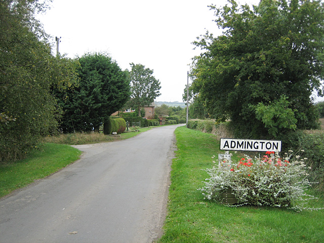
Admington
Civil Parish in Gloucestershire Stratford-on-Avon
England
Admington

Admington is a civil parish located in the county of Gloucestershire, England. Situated in the picturesque Vale of Evesham, Admington is a small and charming rural community with a population of around 100 residents.
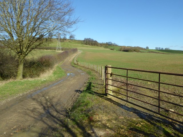
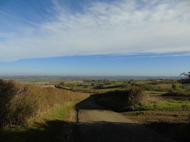
The parish is known for its idyllic countryside landscapes, characterized by rolling hills, meadows, and farmland. Admington is surrounded by beautiful natural features, including the nearby River Stour and the Cotswold Hills, which provide stunning views and opportunities for outdoor activities.
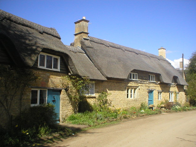
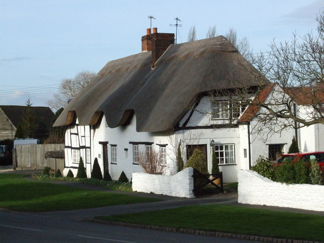
The village itself is small and consists of a handful of traditional stone cottages and farmhouses, giving it a quaint and timeless atmosphere. The historic St. Mary's Church, dating back to the 13th century, is a notable landmark within the parish.
Admington's economy primarily revolves around agriculture, with farming being the main occupation of many residents. The fertile soil and favorable climate contribute to the success of local farms, which primarily produce crops such as wheat, barley, and vegetables.
The parish lacks significant amenities, such as shops or schools, but its close proximity to the nearby towns of Stratford-upon-Avon and Shipston-on-Stour ensures access to essential services and amenities.
Admington is a close-knit community that values its rural heritage and enjoys a peaceful and tranquil lifestyle. The parish offers a haven for those seeking a rural retreat and a connection to nature, with its stunning landscapes and a strong sense of community spirit.
If you have any feedback on the listing, please let us know in the comments section below.
Admington Images
Images are sourced within 2km of 52.103745/-1.715469 or Grid Reference SP1945. Thanks to Geograph Open Source API. All images are credited.


Admington is located at Grid Ref: SP1945 (Lat: 52.103745, Lng: -1.715469)
Administrative County: Warwickshire
District: Stratford-on-Avon
Police Authority: Warwickshire
What 3 Words
///doubts.delivers.ombudsman. Near Mickleton, Gloucestershire
Nearby Locations
Related Wikis
Admington
Admington is a village and civil parish in the Stratford-on-Avon district of the English county of Warwickshire. The name Admington means "estate associated...

Ilmington
Ilmington is a village and civil parish about 3.5 miles (5.6 km) north-west of Shipston-on-Stour and 8 miles (13 km) south of Stratford-upon-Avon in the...

Ilmington Downs
The Ilmington Downs are a large open area situated in Warwickshire, just above the small village of Ilmington. It is the highest point in Warwickshire...

Ebrington Hill
Ebrington Hill is a hill in Warwickshire, England, which at 261 m (856 ft) is the highest in the county. It is situated between the villages of Ebrington...
Touch FM (Stratford-upon-Avon)
102 Touch FM was an Independent Local Radio station broadcasting to the town of Stratford-upon-Avon and much of the counties of Warwickshire, Worcestershire...
Hidcote Bartrim
Hidcote Bartrim is a hamlet and former civil parish, now in the parish of Ebrington, in the Cotswold district of Gloucestershire, England. The nearest...
Quinton, Warwickshire
Quinton is a civil parish in the Stratford-on-Avon district of Warwickshire, England, about six miles south of Stratford-upon-Avon. According to the 2001...

Hidcote Manor Garden
Hidcote Manor Garden is a garden in the United Kingdom, located at the village of Hidcote Bartrim, near Chipping Campden, Gloucestershire. It is one of...
Nearby Amenities
Located within 500m of 52.103745,-1.715469Have you been to Admington?
Leave your review of Admington below (or comments, questions and feedback).