Adlington

Civil Parish in Lancashire Chorley

England

Adlington

Coppull Hall Barn at entrance to Coppull Hall.
Coppull Hall Credit: Peter McDermott

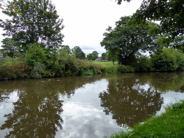
Adlington is a civil parish located in the borough of Chorley, Lancashire, England. Situated in the northwest region of the country, it lies approximately 8 miles northeast of the city of Preston and 16 miles northwest of Manchester. Adlington is nestled between the West Pennine Moors and the River Douglas, providing residents with picturesque surroundings and natural beauty.

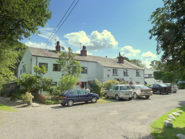
The civil parish covers an area of around 4 square miles and is home to a population of approximately 6,000 people. Historically, Adlington was a rural community known for agriculture and textile industries. Today, it has evolved into a residential area with a mix of housing developments, including traditional stone-built cottages and modern estates.

Adlington boasts a range of amenities and facilities to cater to its residents. The village center features a variety of local shops, cafes, restaurants, and pubs, providing a sense of community and convenience. The area also has primary and secondary schools, ensuring that education is easily accessible for families.

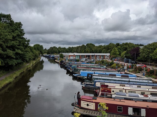
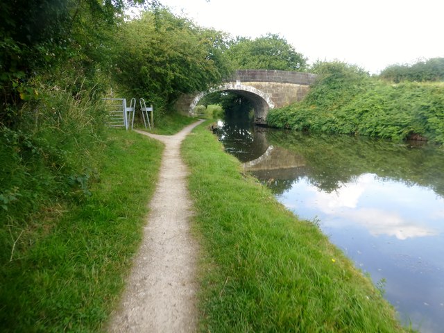
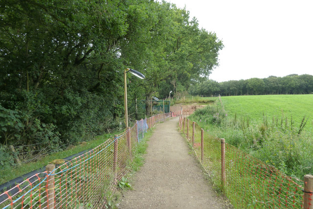
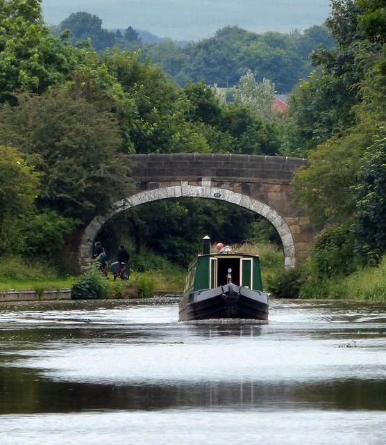
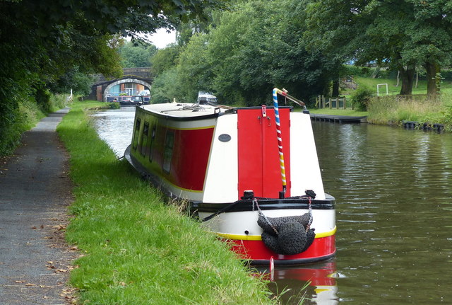
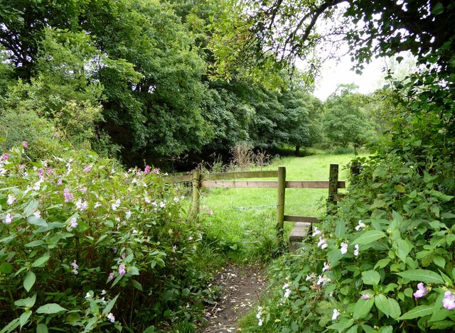
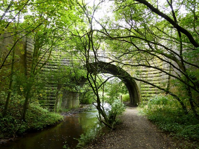
For outdoor enthusiasts, Adlington offers plenty of opportunities to explore its natural surroundings. The West Pennine Moors provide a haven for hikers, cyclists, and nature lovers, with numerous walking trails and country parks to enjoy. The Leeds and Liverpool Canal also runs through Adlington, offering scenic paths for leisurely strolls or boating activities.

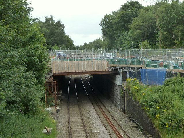
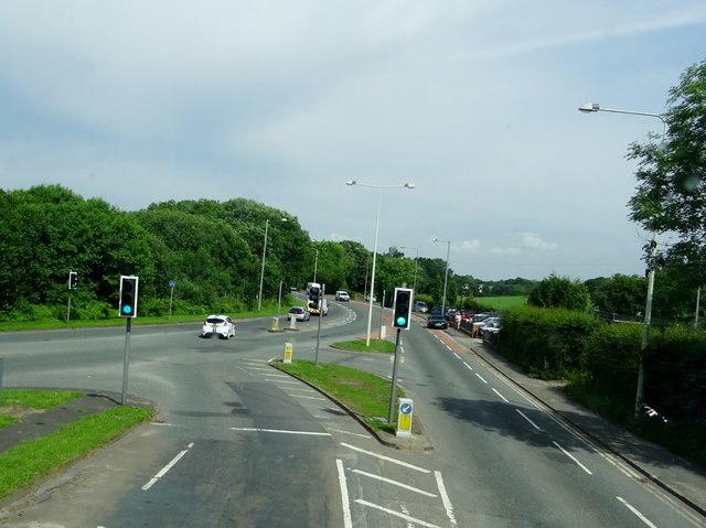
Transport links in Adlington are well-connected. The village has its own railway station, Adlington (Lancs), which provides regular services to Manchester, Preston, and other nearby towns. The M61 motorway is easily accessible, allowing for convenient travel by car to surrounding areas.

Overall, Adlington, Lancashire is a charming civil parish that offers a peaceful and scenic lifestyle, combined with convenient amenities and connections to nearby towns and cities.

If you have any feedback on the listing, please let us know in the comments section below.
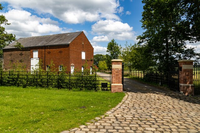
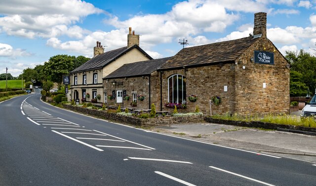
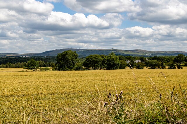
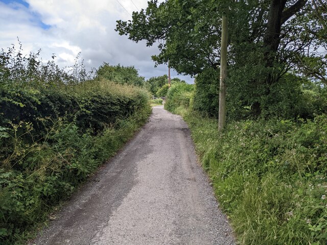
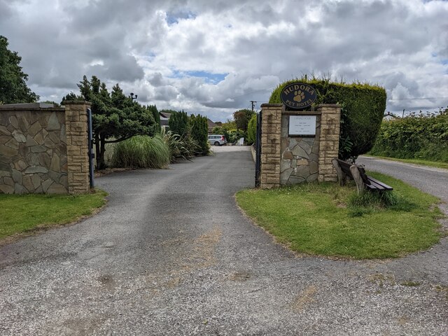
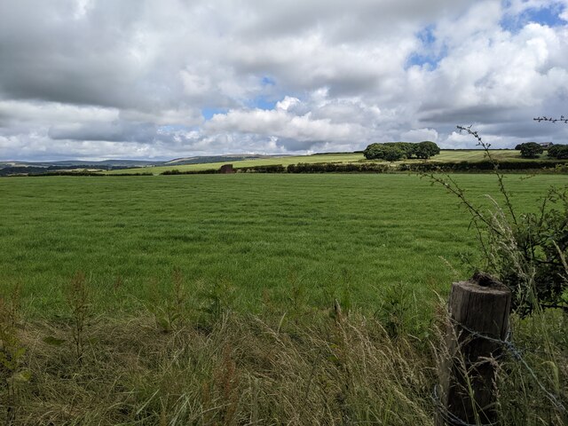
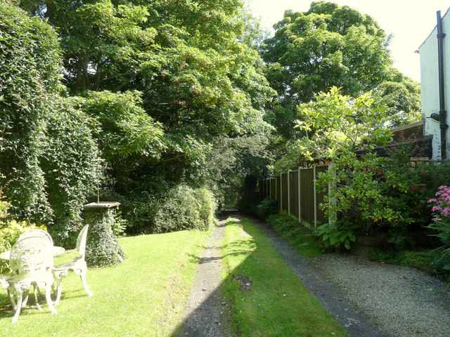
Adlington Images

Images are sourced within 2km of 53.612377/-2.611661 or Grid Reference SD5913. Thanks to Geograph Open Source API. All images are credited.

Coppull Hall Barn at entrance to Coppull Hall.
Coppull Hall
Barn at entrance to Coppull Hall.
White Crow Hotel
White Crow Hotel
Coppull Brow Farm
Coppull Brow Farm
A fine bridleway near Aberdeen Farm
The gateway to Hudora Pet Hotel Presumably a 'posh' version of kennels.
The gateway to Hudora Pet Hotel
Presumably a 'posh' version of kennels.
Fields near Aberdeen Farm
Looking towards the colourful boats at White Bear Marina
Martin's Lane, Heath Charnock
Houses on Martin's Lane, Heath Charnock
Approaching Weavers Bridge Weavers Bridge is Bridge 65 on the Leeds-Liverpool Canal and is also known locally as the Anderton Bridge.
Approaching Weavers Bridge
Weavers Bridge is Bridge 65 on the Leeds-Liverpool Canal and is also known locally as the Anderton Bridge.
Temporary Footpath alongside the A673 at Heath Charnock Due to work on the bridge over the railway
Temporary Footpath alongside the A673 at Heath Charnock
Due to work on the bridge over the railway
Work on A673 bridge over railway at Heath Charnock
Waterhouse Bridge No 67 Crossing the Leeds and Liverpool Canal near Adlington.
Waterhouse Bridge No 67
Crossing the Leeds and Liverpool Canal near Adlington.
Narrowboat moored along the Leeds and Liverpool Canal In the distance is Park Road Bridge No 69 in Adlington.
Narrowboat moored along the Leeds and Liverpool Canal
In the distance is Park Road Bridge No 69 in Adlington.
A673 meets the A6 at Skew Bridge
Reflections on the water Trees reflected on the Leeds and Liverpool Canal at Adlington.
Reflections on the water
Trees reflected on the Leeds and Liverpool Canal at Adlington.
Stile on a grassy path Leading to a somewhat overgrown and indistinct path on the bank of the River Douglas.
Stile on a grassy path
Leading to a somewhat overgrown and indistinct path on the bank of the River Douglas.
Aqueduct over the River Douglas The 40 foot high single span aqueduct carries the Leeds and Liverpool Canal over the River Douglas. It was built circa 1800, probably by John Rennie, and is a Grade 2 listed building.
Aqueduct over the River Douglas
The 40 foot high single span aqueduct carries the Leeds and Liverpool Canal over the River Douglas. It was built circa 1800, probably by John Rennie, and is a Grade 2 listed building.
Show me another place!

Adlington is located at Grid Ref: SD5913 (Lat: 53.612377, Lng: -2.611661)

Administrative County: Lancashire

District: Chorley

Police Authority: Lancashire

What 3 Words

///magazine.peanut.inherits. Near Adlington, Lancashire

Nearby Locations

Adlington

Related Wikis

White Bear railway station

White Bear railway station, on Station Road, Adlington, Lancashire, England, was on the Lancashire Union Railway line between St Helens and Blackburn....

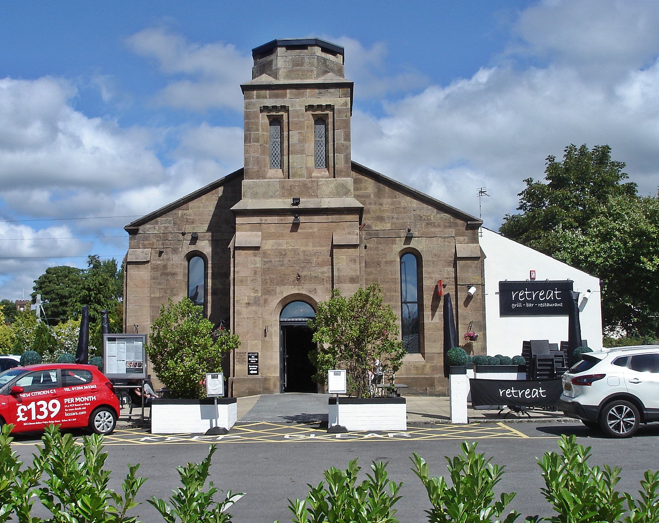
Christ Church, Adlington

Christ Church is on Church Street, Adlington, Lancashire, England. It is a redundant Anglican church, and is recorded in the National Heritage List for...

Adlington railway station (Lancashire)

Adlington railway station serves the town of Adlington in Lancashire, England. It is a two-platform station on the Bolton - Chorley - Preston line. This...

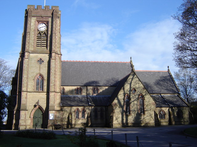
St Paul's Church, Adlington

St Paul's Church is in Railway Road, Adlington, Lancashire, England. It is an active Anglican parish church in the deanery of Chorley, the archdeaconry...

Adlington, Lancashire

Adlington is a village and civil parish in Lancashire, England, near the West Pennine Moors and approximately three miles (five kilometres) south of Chorley...

Rawlinson Bridge railway station

Rawlinson Bridge was the first railway station in the Borough of Chorley in Lancashire, England. The station was located in the village of Heath Charnock...

Rivington Water Treatment Works

Rivington Water Treatment Works is a water treatment plant in Rivington, Lancashire, England. It is located below the Lower Rivington Reservoir, the last...

Adlington Hall, Lancashire

Adlington Hall was a Georgian country house, now demolished, in Adlington, Lancashire, England, between Wigan and Chorley. The house was constructed in...

Related Videos

Hidden in plain sight....The (almost) secret WW2 pillbox at Standish, Wigan

Mr H goes on an early morning bimble to take a look at a WW2 pillbox that now sits forgotten and partially hidden on the edge of a ...

Haigh hall

Some drone footage of Haigh hall, Wigan.

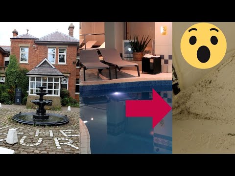
I Stayed In A Spa Hotel - I Was Shocked!

Join me as I seek out accommodation in the UK to stay, in this vlog I travel to Kilhey Court, This 4 Star Spa Hotel is situated in ...

Jack Catterall collecting his Suzi Wong fight kit ahead of his fight vs Jorge Linares in Liverpool

Suzi Wong fight kit made for professional boxer Shabaz Masoud. Inspired by the luxury of Rolls Royce.

Nearby Amenities

Located within 500m of 53.612377,-2.611661
Mini Roundabout
Direction: clockwise
Lat/Long: 53.6126364/-2.6044385
White Bear
Abandoned Railway: station
Note: site of White Bear Railway Station
Railway: site
Source: npe
Lat/Long: 53.6130812/-2.6065607
Mini Roundabout
Direction: clockwise
Lat/Long: 53.6119486/-2.6047739
Source: Yahoo imagery
Lat/Long: 53.6104477/-2.617325
Source: Yahoo imagery
Lat/Long: 53.6102219/-2.6166974
Source: Yahoo imagery
Lat/Long: 53.6101094/-2.6163269
Source: Yahoo imagery
Lat/Long: 53.6099121/-2.6157092
Source: Yahoo imagery
Lat/Long: 53.6098036/-2.6154157
Source: Yahoo imagery
Lat/Long: 53.6099317/-2.6164723
Source: Yahoo imagery
Lat/Long: 53.6095958/-2.6165139
Source: Yahoo imagery
Lat/Long: 53.609317/-2.6166364
Source: Yahoo imagery
Lat/Long: 53.6091026/-2.6165484
Source: Yahoo imagery
Lat/Long: 53.6089977/-2.6163014
Source: Yahoo imagery
Lat/Long: 53.6090201/-2.6158928
Source: Yahoo imagery
Lat/Long: 53.6091449/-2.6157231
Source: Yahoo imagery
Lat/Long: 53.6095589/-2.615585
Source: Yahoo imagery
Lat/Long: 53.6103384/-2.6154745
Source: Yahoo imagery
Lat/Long: 53.6120961/-2.6135554
Source: Yahoo imagery
Lat/Long: 53.6119884/-2.6132683
Source: Yahoo imagery
Lat/Long: 53.6122693/-2.6127297
Source: Yahoo imagery
Lat/Long: 53.6124475/-2.6121307
Source: Yahoo imagery
Lat/Long: 53.6124442/-2.6119379
Source: Yahoo imagery
Lat/Long: 53.6124553/-2.6114694
Source: Yahoo imagery
Lat/Long: 53.6126899/-2.6109595
Source: Yahoo imagery
Lat/Long: 53.6126861/-2.6097748
Source: Yahoo imagery
Lat/Long: 53.6124339/-2.6089731
Source: Yahoo imagery
Lat/Long: 53.6130922/-2.6100739
Source: Yahoo imagery
Lat/Long: 53.6137587/-2.6114336
Source: Yahoo imagery
Lat/Long: 53.6134122/-2.6115678
Source: Yahoo imagery
Lat/Long: 53.6131315/-2.6111902
Source: Yahoo imagery
Lat/Long: 53.61265/-2.6119332
Source: Yahoo imagery
Lat/Long: 53.6129294/-2.6124779
Turning Circle
Source: Yahoo imagery
Lat/Long: 53.6126545/-2.6131292
Source: Yahoo imagery
Lat/Long: 53.6113966/-2.61146
Source: Yahoo imagery
Lat/Long: 53.6109593/-2.6115217
Source: Yahoo imagery
Lat/Long: 53.6106078/-2.611869
Source: Yahoo imagery
Lat/Long: 53.6112702/-2.6101324
Source: Yahoo imagery
Lat/Long: 53.6100243/-2.6104118
Source: Yahoo imagery
Lat/Long: 53.6099333/-2.6106639
Source: Yahoo imagery
Lat/Long: 53.6100257/-2.6117521
Source: Yahoo imagery
Lat/Long: 53.6100198/-2.6117991
Source: Yahoo imagery
Lat/Long: 53.6099776/-2.6128299
Source: Yahoo imagery
Lat/Long: 53.6100949/-2.6132725
Source: Yahoo imagery
Lat/Long: 53.6102429/-2.613624
Source: Yahoo imagery
Lat/Long: 53.6111069/-2.608651
Source: Yahoo imagery
Lat/Long: 53.6107136/-2.6087998
Source: Yahoo imagery
Lat/Long: 53.6094302/-2.6172897
Source: Yahoo imagery
Lat/Long: 53.610534/-2.6172059
Source: Yahoo imagery
Lat/Long: 53.6109106/-2.6167034
Source: Yahoo imagery
Lat/Long: 53.6107839/-2.6156498
Source: Yahoo imagery
Lat/Long: 53.6126913/-2.6141599
Source: Yahoo imagery
Lat/Long: 53.6141037/-2.6117578
Source: Yahoo imagery
Lat/Long: 53.6130387/-2.6102324
Source: Yahoo imagery
Lat/Long: 53.6132441/-2.6097211
Source: Yahoo imagery
Lat/Long: 53.6120982/-2.6087022
Source: Yahoo imagery
Lat/Long: 53.6105893/-2.6076799
Source: Yahoo imagery
Lat/Long: 53.6107698/-2.6096452
Source: Yahoo imagery
Lat/Long: 53.6096298/-2.6103713
Source: Yahoo imagery
Lat/Long: 53.6097887/-2.6117839
Source: Yahoo imagery
Lat/Long: 53.6096004/-2.6117971
Source: Yahoo imagery
Lat/Long: 53.6098044/-2.6133708
Source: Yahoo imagery
Lat/Long: 53.6107869/-2.6161862
Police
Adlington
Lat/Long: 53.6131902/-2.6050358
Premier
Addr City: Chorley
Addr Housenumber: 2-6
Addr Postcode: PR7 4EZ
Addr Street: Market Place
Addr Suburb: Adlington
Brand: Premier
Brand Wikidata: Q7240340
Opening Hours: Mo-Su 08:00-20:00
Shop: convenience
Website: https://www.premier-stores.co.uk/our-stores/adlington-convenience-store
Lat/Long: 53.6120352/-2.604881
Pub
The Bridge
Lat/Long: 53.6118424/-2.6074668
Bus Stop
Windsor Avenue
Bus: yes
Naptan AtcoCode: 2500IMG2461
Naptan CommonName: Windsor Avenue
Naptan Indicator: opp
Naptan NaptanCode: langdapm
Naptan Verified: no
Public Transport: platform
Lat/Long: 53.6104374/-2.6141703
Source: Yahoo imagery
Lat/Long: 53.6118417/-2.6071973
Bus Stop
Sandy Lane
Bus: yes
Naptan AtcoCode: 2500IMG2462
Naptan CommonName: Sandy Lane
Naptan Indicator: by
Naptan NaptanCode: langdapt
Naptan Verified: no
Public Transport: platform
Lat/Long: 53.6117504/-2.6122849
Bus Stop
Primary School
Bus: yes
Naptan AtcoCode: 2500IMG2463
Naptan CommonName: Primary School
Naptan Indicator: o/s
Naptan NaptanCode: langdapw
Naptan Verified: no
Public Transport: platform
Lat/Long: 53.6120946/-2.608239
Cafe
White Bear Marina
Lat/Long: 53.6127711/-2.6065647
Pub
Spinners Arms
Lat/Long: 53.6141469/-2.6049348
Post Box
Collection Times: Mo-Fr 09:00; Sa 07:00
Mapillary: 767067030670526
Operator: Royal Mail
Post Box Type: lamp
Ref: PR7 44
Royal Cypher: EIIR
Royal Cypher Wikidata: Q33102113
Lat/Long: 53.6116668/-2.6121972
Post Box
Collection Times: Mo-Fr 16:45, Sa 11:00
Mapillary: 467861504422228
Operator: Royal Mail
Post Box Type: pillar
Ref: PR7 72
Lat/Long: 53.6124449/-2.6046892
Post Office
Adlington Post Office
Addr City: Chorley
Addr Housenumber: 18-20
Addr Postcode: PR7 4EZ
Addr Street: Market Place
Addr Suburb: Adlington
Check Date Opening Hours: 2021-08-24
Mapillary: 992950401443386
Opening Hours: Mo-Fr 09:00-17:30; Sa 09:00-12:00
Operator: Post Office
Ref Pol Id: 11608
Lat/Long: 53.6125023/-2.6046946
Barrier: bollard
Lat/Long: 53.6118518/-2.6069557
Turning Circle
Lat/Long: 53.6109181/-2.6122355
Bus Stop
White Bear
Bus: yes
Naptan AtcoCode: 2500575
Naptan CommonName: White Bear
Naptan Indicator: opp
Naptan NaptanCode: lanawpdw
Naptan Verified: no
Public Transport: platform
Lat/Long: 53.6113737/-2.6050544
Bus Stop
Market Place
Bench: no
Bin: no
Bus: yes
Lit: no
Naptan AtcoCode: 250015581
Naptan CommonName: Market Place
Naptan Indicator: by
Naptan NaptanCode: lanaptdg
Naptan Verified: no
Public Transport: platform
Shelter: yes
Tactile Paving: no
Lat/Long: 53.6122932/-2.6045234
Bus Stop
Anderton Street
Bus: yes
Naptan AtcoCode: 250010045
Naptan CommonName: Anderton Street
Naptan Indicator: opp
Naptan NaptanCode: lanadamd
Naptan Verified: no
Public Transport: platform
Lat/Long: 53.6134157/-2.6047209
Bus Stop
Gabbot Street
Bus: yes
Naptan AtcoCode: 2500ADL00004
Naptan CommonName: Gabbot Street
Naptan Indicator: by
Naptan NaptanCode: lanjwdgj
Naptan Verified: no
Public Transport: platform
Lat/Long: 53.6137555/-2.6050734
Bus Stop
Sandy Lane
Bus: yes
Naptan AtcoCode: 2500DCL493
Naptan CommonName: Sandy Lane
Naptan Indicator: opp
Naptan NaptanCode: landmawd
Naptan Verified: no
Public Transport: platform
Lat/Long: 53.6116884/-2.6121026
Power: pole
Lat/Long: 53.6080356/-2.6099068
Crossing
Crossing: marked
Lat/Long: 53.6117465/-2.6048505
Turning Loop
Lat/Long: 53.6148826/-2.6117152
Entrance: main
Lat/Long: 53.6122494/-2.6086155
Defibrillator
Access: yes
Defibrillator Location: on wall outside The White Bear
Emergency: defibrillator
Ref: CPAD1082
Lat/Long: 53.6117935/-2.604665
Nu Yu
Addr City: Chorley
Addr Postcode: PR7 4LA
Addr Street: Station Road
Addr Subdistrict: Adlington
Addr Suburb: Adlington
Shop: beauty
Lat/Long: 53.6117877/-2.605178
Linacre Hire
Addr City: Chorley
Addr Postcode: PR7 4EZ
Addr Street: Market Street
Addr Subdistrict: Adlington
Addr Suburb: Adlington
Shop: tool_hire
Lat/Long: 53.6118546/-2.6046127
Pub
White Bear
Addr City: Chorley
Addr Postcode: PR7 4HE
Addr Street: Market Street
Addr Subdistrict: Adlington
Addr Suburb: Adlington
Lat/Long: 53.6117233/-2.604614
Restaurant
Adlington Spice
Cuisine: indian
Lat/Long: 53.6106834/-2.6053999
PsychoMonkey
Addr City: Chorley
Addr Housenumber: 32
Addr Postcode: PR7 4HE
Addr Street: Market Street
Addr Subdistrict: Adlington
Addr Suburb: Adlington
Shop: tattoo
Lat/Long: 53.6107268/-2.6053785
Direction: SE
Generator Method: photovoltaic
Generator Output Electricity: yes
Generator Solar Modules: 16
Generator Source: solar
Generator Type: solar_photovoltaic_panel
Location: roof
Power: generator
Lat/Long: 53.6128053/-2.6133272
Direction: SE
Generator Method: photovoltaic
Generator Output Electricity: yes
Generator Solar Modules: 16
Generator Source: solar
Generator Type: solar_photovoltaic_panel
Location: roof
Power: generator
Lat/Long: 53.6127568/-2.6134425
Turning Circle
Lat/Long: 53.6130026/-2.6122637
Turning Circle
Lat/Long: 53.61369/-2.6115248
The data included in this document is from www.openstreetmap.org. The data is made available under ODbL.

Have you been to Adlington?

Leave your review of Adlington below (or comments, questions and feedback).