Bridgwater
Settlement in Somerset Sedgemoor
England
Bridgwater
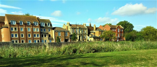
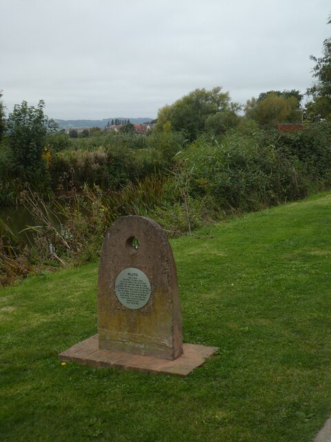
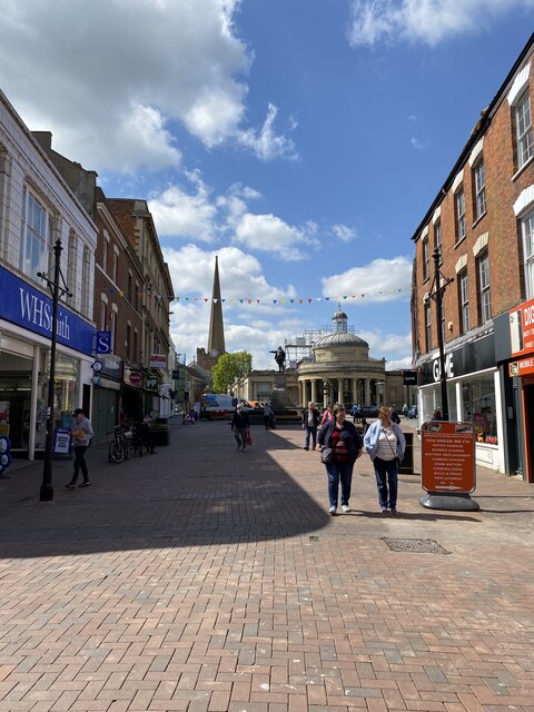
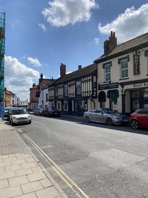
Bridgwater is a historic market town and civil parish located in the county of Somerset, England. Situated on the River Parrett, it lies approximately 10 miles (16 km) north-east of the larger town of Taunton. With a population of around 41,000, Bridgwater is the largest town in the Sedgemoor district.
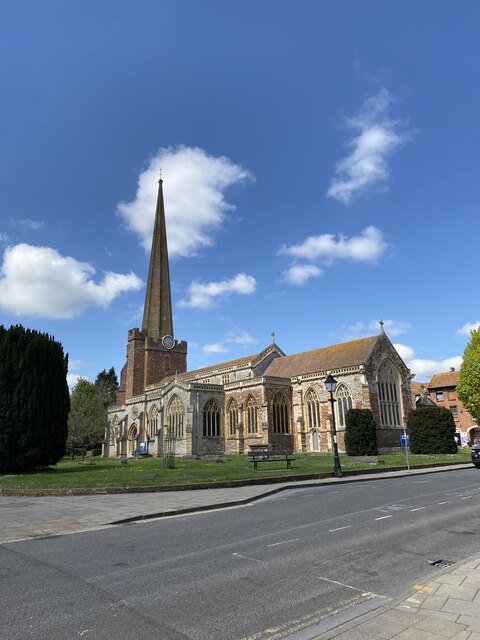
The town has a rich history that dates back to the Roman times, and evidence of its past can be seen in several architectural landmarks. The most notable of these is the Bridgwater Castle, a motte-and-bailey castle built in the 12th century by the Normans. Today, only fragments of the castle remain, including the impressive 24-meter tall motte.
Bridgwater is also famous for its annual carnival, one of the largest illuminated processions in Europe. The event attracts thousands of visitors each year, who come to witness the colorful floats, music, and entertainment.
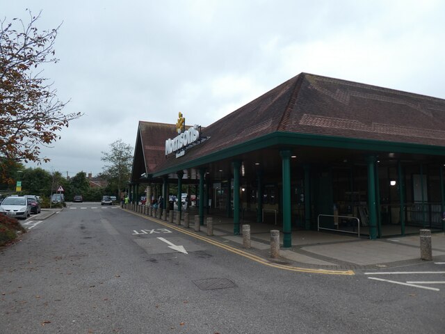
Economically, Bridgwater is an important industrial center, particularly in the fields of manufacturing and distribution. The town is home to the largest industrial estate in Somerset, which houses a variety of businesses, including food processing, logistics, and engineering companies.
In terms of education, Bridgwater offers a range of primary and secondary schools, as well as Bridgwater & Taunton College, which provides further education and vocational courses.
Overall, Bridgwater combines its rich history, vibrant community, and industrial significance to create a town that offers a mix of heritage, entertainment, and economic opportunities.
If you have any feedback on the listing, please let us know in the comments section below.
Bridgwater Images
Images are sourced within 2km of 51.12778/-3.006409 or Grid Reference ST2936. Thanks to Geograph Open Source API. All images are credited.

Bridgwater is located at Grid Ref: ST2936 (Lat: 51.12778, Lng: -3.006409)
Administrative County: Somerset
District: Sedgemoor
Police Authority: Avon and Somerset
What 3 Words
///breath.grownup.wobbling. Near Bridgwater, Somerset
Nearby Locations
Related Wikis

Bridgwater Town Hall
Bridgwater Town Hall is a municipal building in the High Street, Bridgwater, Somerset, England. The town hall, which was the headquarters of Bridgwater...

Scott Cinema, Bridgwater
Scott Cinema (originally the Odeon Cinema) was a cinema in Bridgwater, Somerset England. Built in 1936, it was notable for its Art Deco style. == History... ==
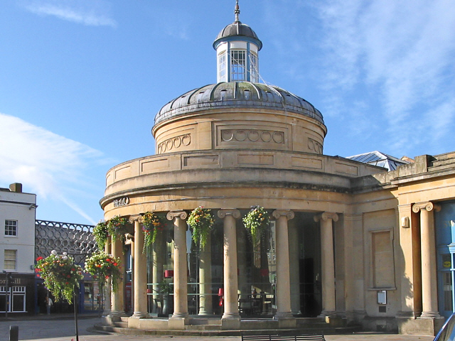
Corn Exchange, Bridgwater
The Corn Exchange is a commercial building in Cornhill, Bridgwater, Somerset, England. The structure, which is now used as a chain restaurant, is a Grade...

Blake Statue
The Blake Statue in Bridgwater, Somerset, England was unveiled in 1900 to commemorate naval commander Robert Blake. The hollow bronze life size sculpture...

King Square, Bridgwater
King Square in Bridgwater within the English county of Somerset was laid out with large Georgian houses between 1770 and 1800 on the site of Bridgwater...
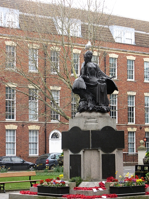
Bridgwater War Memorial
Bridgwater War Memorial is a Grade II* listed war memorial located on King Square in Bridgwater, Somerset, England, on the site previously occupied by...

Bridgwater Friary
Bridgwater Friary was a Franciscan monastery in Bridgwater, Somerset, England, established in 1245 and dissolved in 1538. It was founded by William Briwere...
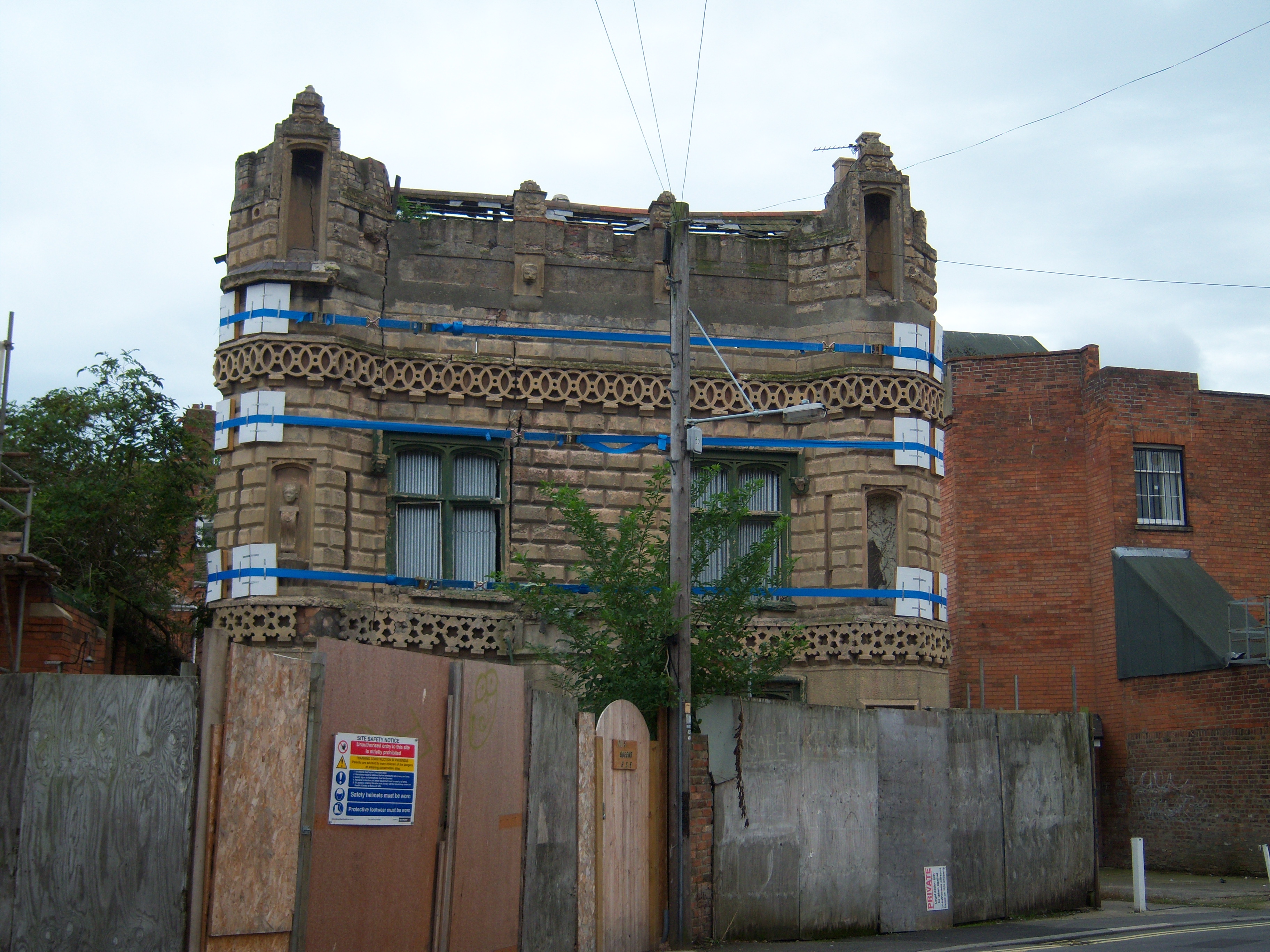
Castle House, Bridgwater
Castle House is a house in Bridgwater, Somerset, England. Castle House is associated with two important Sedgemoor families, the Boards and the Ackermans...
Nearby Amenities
Located within 500m of 51.12778,-3.006409Have you been to Bridgwater?
Leave your review of Bridgwater below (or comments, questions and feedback).