Northfield

Settlement in Somerset Sedgemoor

England

Northfield

Carnival night With a very appropriate theme given the weather conditions, the 2005 Bridgwater Carnival entry from Sidvale Carnival club negotiates the Bath Bridge, where the A39 Bath Road crosses over the railway, during the 2005 Bridgwater carnival procession.
Carnival night Credit: Phil Williams

Northfield is a picturesque village located in the county of Somerset, in southwestern England. Situated approximately 5 miles southeast of the bustling town of Shepton Mallet, Northfield nestles amidst the rolling hills and lush countryside of the Mendip Hills Area of Outstanding Natural Beauty.

The village is characterized by its quaint charm and traditional architecture, with many buildings dating back to the 18th and 19th centuries. The centerpiece of Northfield is its historic parish church, St. Michael's, which was constructed in the 12th century and serves as a reminder of the area's rich heritage.

Surrounded by idyllic landscapes, Northfield offers ample opportunities for outdoor activities and exploration. The nearby Mendip Hills provide a stunning backdrop for hiking, cycling, and horseback riding, while the picturesque Cheddar Gorge, with its dramatic limestone cliffs and underground caves, is just a short drive away.

Despite its rural setting, Northfield benefits from good transport links, with the A37 road passing through the village, connecting it to nearby towns and cities. The village also has a bus service, providing convenient access to the wider region.

Northfield is a close-knit community, with a range of amenities catering to its residents. These include a local pub, a village hall, and a small convenience store. For more extensive shopping and entertainment options, the nearby town of Shepton Mallet offers a wider range of facilities.

Overall, Northfield offers a peaceful and picturesque setting, making it an appealing place to live for those seeking a rural lifestyle within easy reach of amenities and outdoor activities.

If you have any feedback on the listing, please let us know in the comments section below.
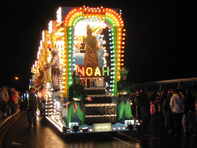
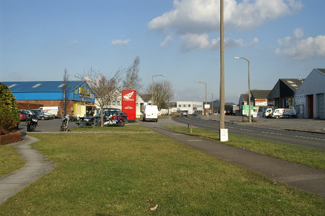
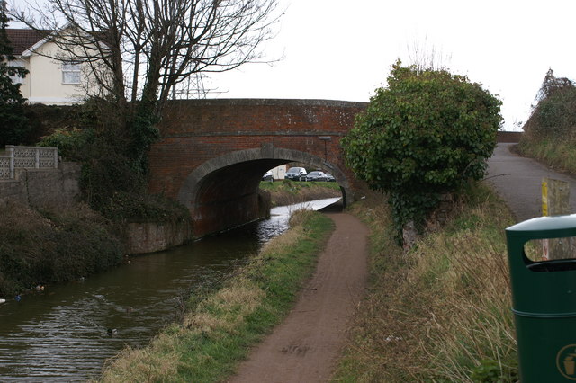
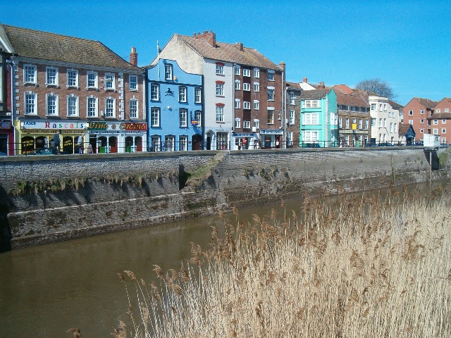
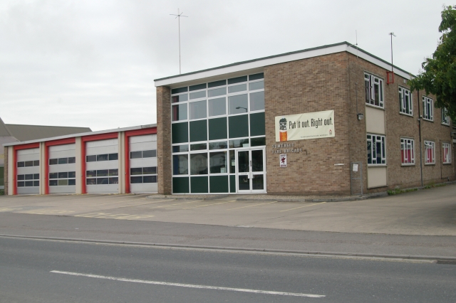
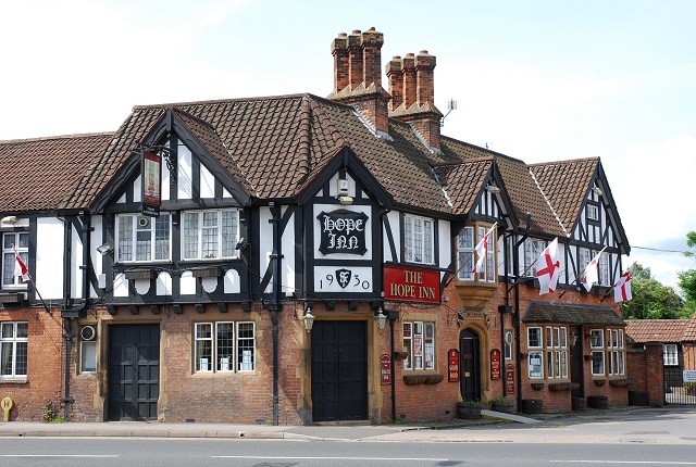
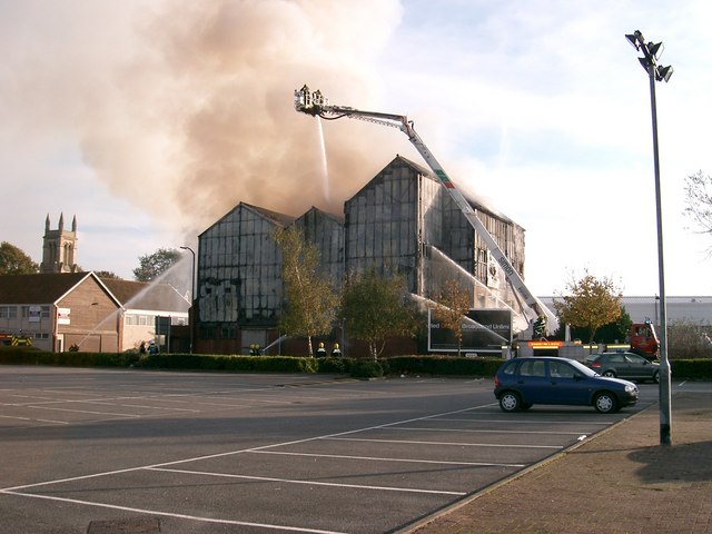
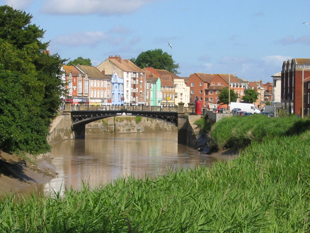
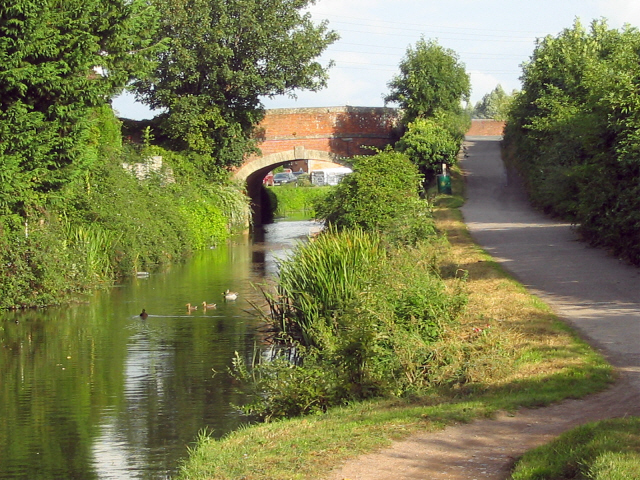
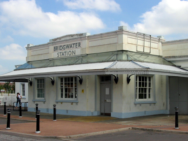
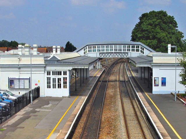
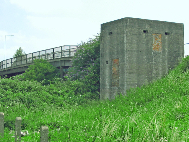
Northfield Images

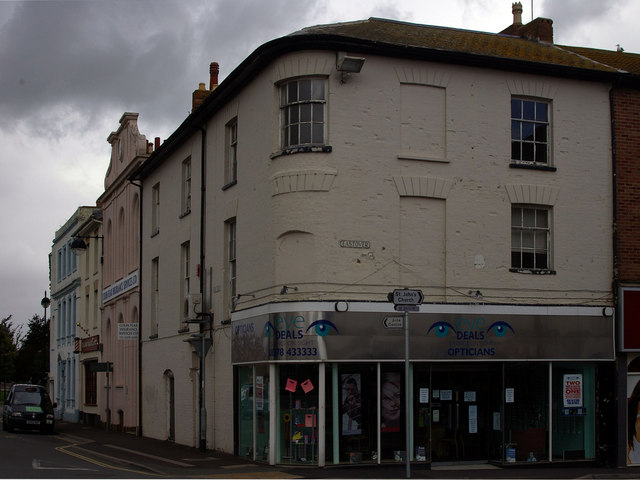
Images are sourced within 2km of 51.123874/-3.01308 or Grid Reference ST2936. Thanks to Geograph Open Source API. All images are credited.

Carnival night With a very appropriate theme given the weather conditions, the 2005 Bridgwater Carnival entry from Sidvale Carnival club negotiates the Bath Bridge, where the A39 Bath Road crosses over the railway, during the 2005 Bridgwater carnival procession.
Carnival night
With a very appropriate theme given the weather conditions, the 2005 Bridgwater Carnival entry from Sidvale Carnival club negotiates the Bath Bridge, where the A39 Bath Road crosses over the railway, during the 2005 Bridgwater carnival procession.
Riverside Business Park, Bridgwater
Bridgwater & Taunton Canal Bridge is A38
Bridgwater & Taunton Canal
Bridge is A38
West Quay and the River Parrett Looking across the River Parrett from the eastern end of the town bridge to West Quay. The River Parrett has a considerable tidal range and a tidal gauge can be seen to the right of the view. The buildings have a Dutch look about them and were influenced by settlers from Holland who came to the town in its past. The site of Bridgwater Castle - destroyed by Cromwell - lies behind the pale green building. The only remnants of the castle are its Watergate and part of its curtain wall, neither visible in this view.
West Quay and the River Parrett
Looking across the River Parrett from the eastern end of the town bridge to West Quay. The River Parrett has a considerable tidal range and a tidal gauge can be seen to the right of the view. The buildings have a Dutch look about them and were influenced by settlers from Holland who came to the town in its past. The site of Bridgwater Castle - destroyed by Cromwell - lies behind the pale green building. The only remnants of the castle are its Watergate and part of its curtain wall, neither visible in this view.
Bridgwater Fire Station Bridgwater Fire Station, Salmon Parade, Bridgwater, Somerset.
Bridgwater Fire Station
Bridgwater Fire Station, Salmon Parade, Bridgwater, Somerset.
The Hope Inn Built in 1930, this large public house stands on the Taunton Road in Bridgwater and was the scene of the photographer's first stag night party in 1987.
The Hope Inn
Built in 1930, this large public house stands on the Taunton Road in Bridgwater and was the scene of the photographer's first stag night party in 1987.
Fire at Bigwood and Staple (disused printworks) The semi-derelict building was destroyed by the fire, and was demolished soon after the fire.  The road was closed for over a week, because the damaged building was considered unsafe.
Fire at Bigwood and Staple (disused printworks)
The semi-derelict building was destroyed by the fire, and was demolished soon after the fire. The road was closed for over a week, because the damaged building was considered unsafe.
Bridgwater Town Bridge The River Parrett entering Bridgwater from the south, with West Quay beyond the bridge.
Bridgwater Town Bridge
The River Parrett entering Bridgwater from the south, with West Quay beyond the bridge.
Bridgwater and Taunton Canal Bridge over the A38 Taunton Road, Bridgwater
Bridgwater and Taunton Canal
Bridge over the A38 Taunton Road, Bridgwater
Bridgwater Railway Station (1841) Designed by Isambard Kingdom Brunel and regarded as one of the best surviving GWR stations.
Bridgwater Railway Station (1841)
Designed by Isambard Kingdom Brunel and regarded as one of the best surviving GWR stations.
Bridgwater Railway Station (1841) Designed by Isambard Kingdom Brunel and regarded as one of the best surviving GWR stations. On the Taunton to Bristol line.
Bridgwater Railway Station (1841)
Designed by Isambard Kingdom Brunel and regarded as one of the best surviving GWR stations. On the Taunton to Bristol line.
Pill box near Bridgwater Station There's one at each end of this bridge, where the A372 crosses the railway. Part of the 'Taunton Stop Line', intended to halt any German advance into the West Country.
Pill box near Bridgwater Station
There's one at each end of this bridge, where the A372 crosses the railway. Part of the 'Taunton Stop Line', intended to halt any German advance into the West Country.
Corner of Eastover and East Quay Looking down towards the Taxi rank
Corner of Eastover and East Quay
Looking down towards the Taxi rank
Salmon Parade Looking towards Bridgwater Hospital at the end of the road. Note old advertising above the garish modern billboard.
Salmon Parade
Looking towards Bridgwater Hospital at the end of the road. Note old advertising above the garish modern billboard.
Buildings on West Quay to the south of Castle Street
Crane on West Quay Reminder of when Bridgwater was a busy waterway.
Crane on West Quay
Reminder of when Bridgwater was a busy waterway.
Eastquay, Bridgwater From the west bank of the River Parrett
Eastquay, Bridgwater
From the west bank of the River Parrett
The Parrett Bore at Bridgwater On seven or eight days each month, a tidal surge flows upstream from the Bristol Channel, reaching as far a Bridgwater.
The Parrett Bore at Bridgwater
On seven or eight days each month, a tidal surge flows upstream from the Bristol Channel, reaching as far a Bridgwater.
Show me another place!

Northfield is located at Grid Ref: ST2936 (Lat: 51.123874, Lng: -3.01308)

Administrative County: Somerset

District: Sedgemoor

Police Authority: Avon and Somerset

What 3 Words

///origin.chemistry.audit. Near Bridgwater, Somerset

Related Wikis

Bridgwater Friary

Bridgwater Friary was a Franciscan monastery in Bridgwater, Somerset, England, established in 1245 and dissolved in 1538. It was founded by William Briwere...

Scott Cinema, Bridgwater

Scott Cinema (originally the Odeon Cinema) was a cinema in Bridgwater, Somerset England. Built in 1936, it was notable for its Art Deco style. == History... ==

Haygrove School

Haygrove School is a co-educational secondary school in Bridgwater, Somerset, England, with 1,106 students aged between 11 and 16. It is located on Durleigh...

Bridgwater Town Hall

Bridgwater Town Hall is a municipal building in the High Street, Bridgwater, Somerset, England. The town hall, which was the headquarters of Bridgwater...

Nearby Amenities

Located within 500m of 51.123874,-3.01308
Turning Circle
Lat/Long: 51.1264194/-3.0185384
Post Box
Brand: Royal Mail
Brand Wikidata: Q638098
Brand Wikipedia: en:Royal Mail
Operator: Royal Mail
Operator Wikidata: Q638098
Post Box Type: lamp
Ref: TA6 48
Royal Cypher: EIIR
Royal Cypher Wikidata: Q33102113
Lat/Long: 51.126774/-3.01537
Noexit: yes
Lat/Long: 51.1273373/-3.0131612
Traffic Signals
Crossing: traffic_signals
Crossing Ref: pelican
Lat/Long: 51.1275443/-3.0138236
Bicycle Parking
Bicycle Parking: stands
Capacity: 2
Covered: no
Lat/Long: 51.1263737/-3.010071
Barrier: bollard
Bicycle: yes
Foot: yes
Lat/Long: 51.1273465/-3.0113827
Barrier: stile
Bicycle: yes
Foot: yes
Lat/Long: 51.1239528/-3.0065666
Post Box
Brand: Royal Mail
Brand Wikidata: Q638098
Brand Wikipedia: en:Royal Mail
Collection Times: Mo-Fr 17:30; Sa 12:30
Drive Through: no
Operator: Royal Mail
Operator Wikidata: Q638098
Post Box Type: wall
Ref: TA6 56
Royal Cypher: EIIR
Royal Cypher Wikidata: Q33102113
Lat/Long: 51.1260143/-3.0110636
Barrier: bollard
Lat/Long: 51.1248022/-3.012642
Post Box
Brand: Royal Mail
Brand Wikidata: Q638098
Brand Wikipedia: en:Royal Mail
Operator: Royal Mail
Operator Wikidata: Q638098
Post Box Type: lamp
Ref: TA6 11D
Royal Cypher: EIIR
Royal Cypher Wikidata: Q33102113
Lat/Long: 51.1230869/-3.0177029
Bus Stop
Malt Shovel (W bound)
Bench: no
Bus: yes
Naptan AtcoCode: 3600SOA56610
Naptan Bearing: W
Naptan CommonName: Malt Shovel
Naptan Indicator: W-bound
Naptan NaptanCode: sotdmwmd
Naptan PlusbusZoneRef: BRDGWTR
Naptan Street: North Street
Naptan Verified: no
Public Transport: platform
Shelter: no
Tactile Paving: no
Lat/Long: 51.1280862/-3.0107804
Bus Stop
Wembdon Road (SE bound)
Bench: no
Bus: yes
Naptan AtcoCode: 3600SOA10323
Naptan Bearing: SE
Naptan CommonName: Wembdon Road
Naptan Indicator: SE-bound
Naptan NaptanCode: sotamgjw
Naptan PlusbusZoneRef: BRDGWTR
Naptan Street: Wembdon Road
Naptan Verified: no
Public Transport: platform
Shelter: no
Tactile Paving: no
Lat/Long: 51.1271633/-3.0163578
Bus Stop
Wembdon Road (W bound)
Bench: no
Bus: yes
Naptan AtcoCode: 3600SOA10324
Naptan Bearing: W
Naptan CommonName: Wembdon Road
Naptan Indicator: W-bound
Naptan NaptanCode: sotamgjt
Naptan PlusbusZoneRef: BRDGWTR
Naptan Street: Wembdon Road
Naptan Verified: no
Public Transport: platform
Shelter: no
Tactile Paving: no
Lat/Long: 51.127072/-3.0163947
Bus Stop
Park Road (NE bound)
Bench: no
Bus: yes
Naptan AtcoCode: 3600SOA10340
Naptan Bearing: NE
Naptan CommonName: Park Road
Naptan Indicator: NE-bound
Naptan NaptanCode: sotamgjm
Naptan PlusbusZoneRef: BRDGWTR
Naptan Street: Durleigh Road
Naptan Verified: no
Public Transport: platform
Shelter: no
Tactile Paving: no
Lat/Long: 51.1235054/-3.0166308
Bus Stop
Park Road (SW bound)
Bench: no
Bus: yes
Naptan AtcoCode: 3600SOA10339
Naptan Bearing: SW
Naptan CommonName: Park Road
Naptan Indicator: SW-bound
Naptan NaptanCode: sotamgjp
Naptan PlusbusZoneRef: BRDGWTR
Naptan Street: Durleigh Road
Naptan Verified: no
Public Transport: platform
Shelter: no
Tactile Paving: no
Lat/Long: 51.1234426/-3.0165817
Bus Stop
The Shops (NE bound)
Bench: no
Bus: yes
Public Transport: platform
Shelter: no
Tactile Paving: no
Lat/Long: 51.1254109/-3.0119413
Bus Stop
The Shops (SW bound)
Bench: no
Bus: yes
Public Transport: platform
Shelter: no
Tactile Paving: no
Lat/Long: 51.1254246/-3.0115759
Noexit: yes
Lat/Long: 51.1238139/-3.0178295
Barrier: yes
Lat/Long: 51.1205945/-3.017605
Noexit: yes
Lat/Long: 51.1211424/-3.016574
Somerset Space Walk - Pluto
Artist Name: Pip Youngman
Artwork Type: sculpture
Tourism: artwork
Lat/Long: 51.1242605/-3.0073263
Cafe
The Purple Spoon
Lat/Long: 51.1243712/-3.0068694
Traffic Signals
Traffic Signals Direction: forward
Lat/Long: 51.1272797/-3.0088
Traffic Signals
Traffic Signals Direction: forward
Lat/Long: 51.1271275/-3.008908
Traffic Signals
Traffic Signals Direction: forward
Lat/Long: 51.1273127/-3.0090354
Traffic Signals
Traffic Signals Direction: forward
Lat/Long: 51.1271513/-3.0091255
Noexit: yes
Lat/Long: 51.121109/-3.0166531
Leisure: slipway
Lat/Long: 51.1242387/-3.007124
The data included in this document is from www.openstreetmap.org. The data is made available under ODbL.

Have you been to Northfield?

Leave your review of Northfield below (or comments, questions and feedback).