Aby with Greenfield

Civil Parish in Lincolnshire East Lindsey

England

Aby with Greenfield

Direction Sign – Signpost at Aby village Located on the west side of a T junction in Aby in Aby with Greenfield parish. 3 arms and no finial. See also <a title="https://www.geograph.org.uk/photo/1003737" href="https://www.geograph.org.uk/photo/1003737">Link</a>.

Milestone Society National ID: LI_TF4178
Direction Sign – Signpost at Aby village Credit: A Riley

Aby with Greenfield is a civil parish located in the East Lindsey district of Lincolnshire, England. It is situated about 9 miles north-east of the town of Horncastle and covers an area of approximately 12 square kilometers.

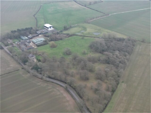
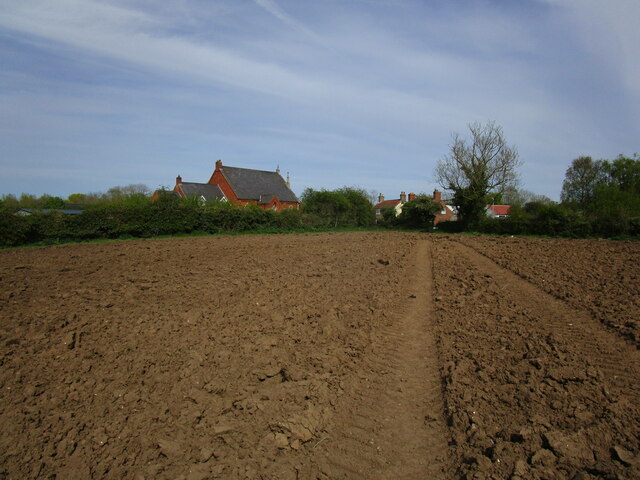
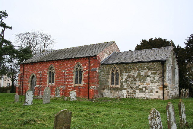
The parish is comprised of two villages, Aby and Greenfield, which are situated close to each other. Aby is the larger of the two villages and is home to the parish church, St. John the Baptist, which dates back to the 12th century. The church is notable for its medieval stained glass and impressive tower.

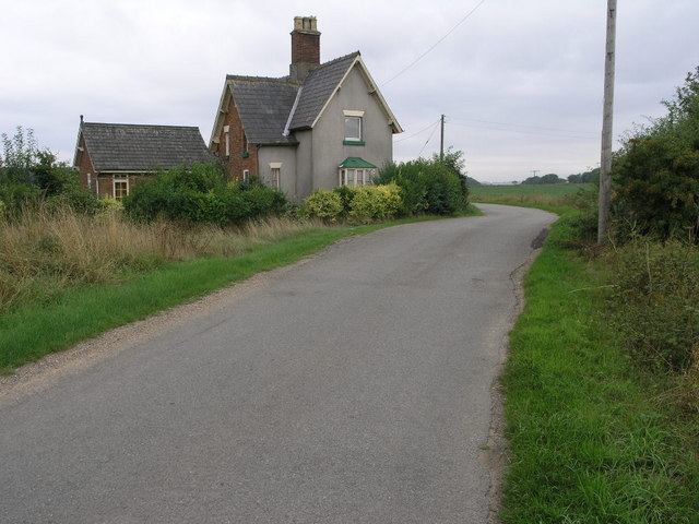
Greenfield is a smaller village, characterized by its picturesque countryside surroundings. It is mainly residential, with a small number of local amenities such as a village hall and a pub. The village offers a tranquil and peaceful atmosphere, making it an ideal place for those seeking a rural lifestyle.

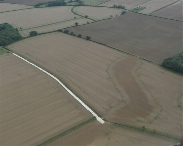
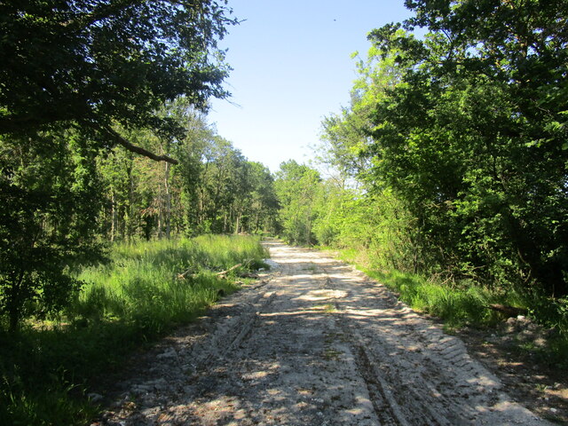
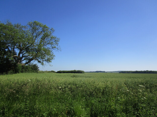
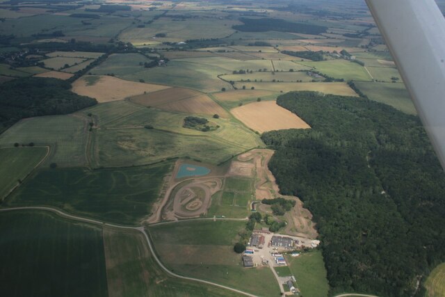
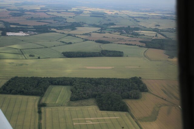
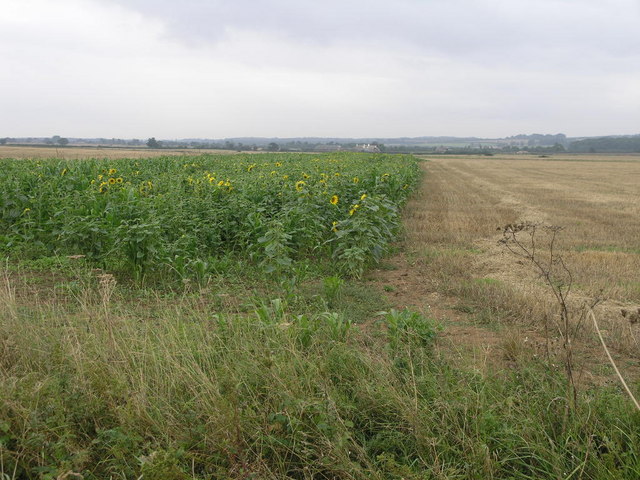
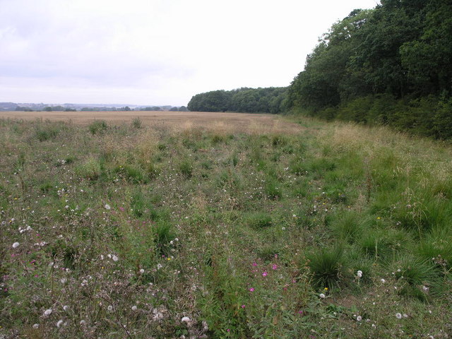
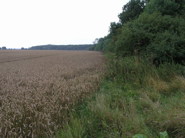
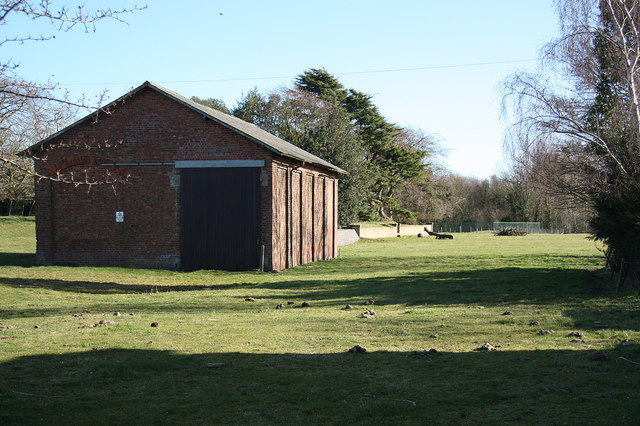
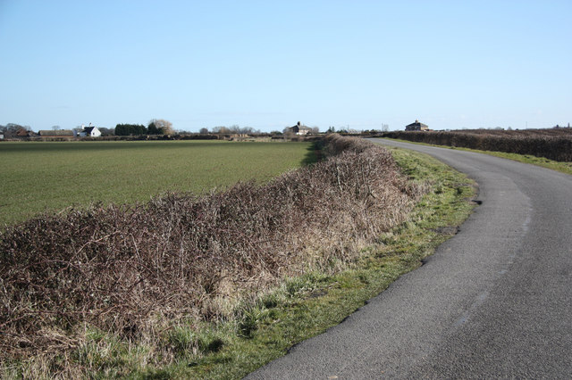
The area surrounding Aby with Greenfield is predominantly agricultural, with vast farmlands and open fields. It is known for its fertile soil, which supports a variety of crops and livestock farming. The landscape is dotted with charming cottages, farmhouses, and traditional agricultural buildings, adding to the area's rural charm.

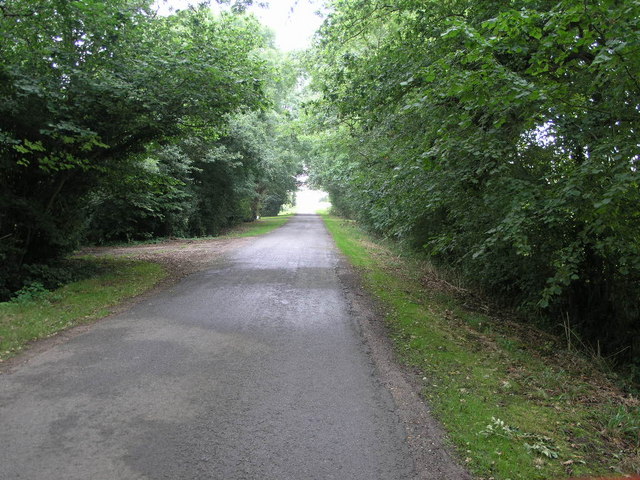
Aby with Greenfield is well-connected to neighboring towns and villages via the local road network. It offers a quiet and idyllic setting for residents and attracts visitors who appreciate the beauty of the countryside.

If you have any feedback on the listing, please let us know in the comments section below.

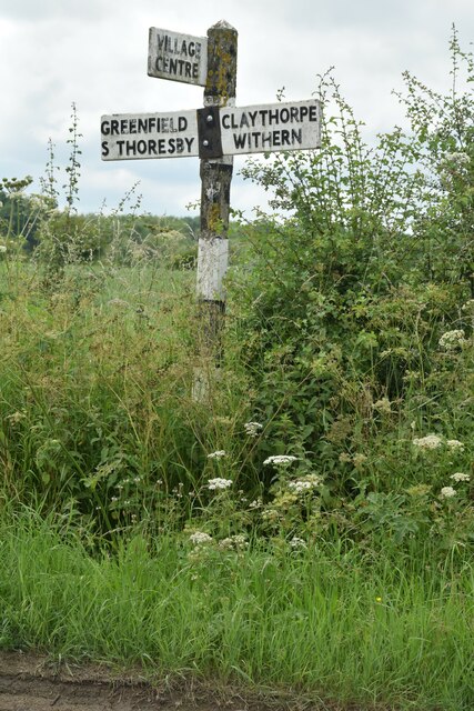
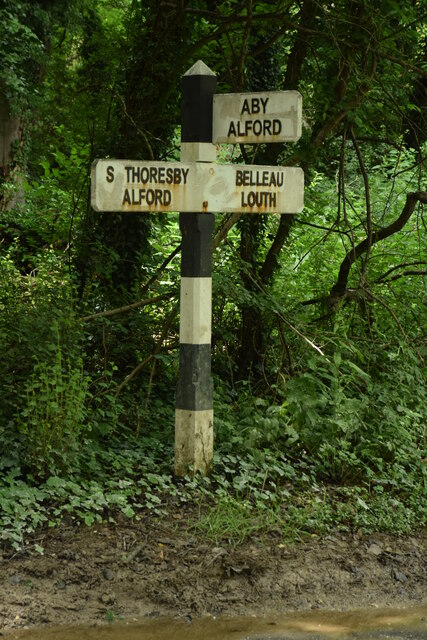
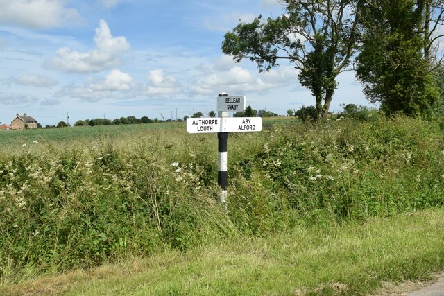
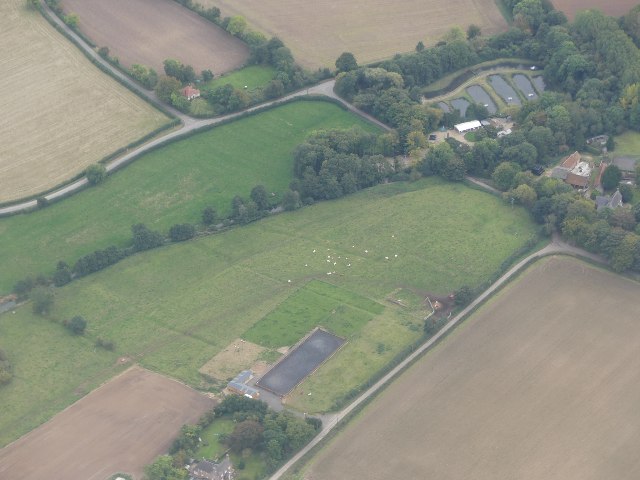
Aby with Greenfield Images

Images are sourced within 2km of 53.282769/0.134978 or Grid Reference TF4278. Thanks to Geograph Open Source API. All images are credited.

Direction Sign – Signpost at Aby village Located on the west side of a T junction in Aby in Aby with Greenfield parish. 3 arms and no finial. See also <a title="https://www.geograph.org.uk/photo/1003737" href="https://www.geograph.org.uk/photo/1003737">Link</a>.

Milestone Society National ID: LI_TF4178
Direction Sign – Signpost at Aby village
Located on the west side of a T junction in Aby in Aby with Greenfield parish. 3 arms and no finial. See also Link. Milestone Society National ID: LI_TF4178
Direction Sign – Signpost northeast of South Thoresby Located on the west side of a T junction northeast of the village in South Thoresby parish. 3 arms and no finial. See also <a title="https://www.geograph.org.uk/photo/1738562" href="https://www.geograph.org.uk/photo/1738562">Link</a>.

Milestone Society National ID: LI_TF4077
Direction Sign – Signpost northeast of South Thoresby
Located on the west side of a T junction northeast of the village in South Thoresby parish. 3 arms and no finial. See also Link. Milestone Society National ID: LI_TF4077
Direction Sign – Signpost between Claythorpe and Belleau Located on the northeast side of the T junction between Claythorpe and Belleau in Claythorpe parish. 3 arms and no finial. See also <a title="https://www.geograph.org.uk/photo/1740021" href="https://www.geograph.org.uk/photo/1740021">Link</a>.

Milestone Society National ID: LI_TF4079
Direction Sign – Signpost between Claythorpe and Belleau
Located on the northeast side of the T junction between Claythorpe and Belleau in Claythorpe parish. 3 arms and no finial. See also Link. Milestone Society National ID: LI_TF4079
Claythorpe: aerial 2021
Aby Grange: aerial 2022
Waterway near the Old Gatehouse, SE of Swinn Wood: aerial 2022
Dog-leg in Viking Link cable near Rigsby Wood: aerial 2022 Viking Link is a 1,400 MW HVDC submarine power cable under construction between the United Kingdom and Denmark. See: <span class="nowrap"><a title="https://en.wikipedia.org/wiki/Viking_Link" rel="nofollow ugc noopener" href="https://en.wikipedia.org/wiki/Viking_Link">Link</a><img style="margin-left:2px;" alt="External link" title="External link - shift click to open in new window" src="https://s1.geograph.org.uk/img/external.png" width="10" height="10"/></span>

It comes onshore south of Sandilands (alongside Boy Grift Drain) and is to finish at Bicker Fen substation.

See also <a href="https://www.geograph.org.uk/photo/7292244">TF4275 : Viking Link cable installation SE of Haugh: aerial 2022 </a>, <a href="https://www.geograph.org.uk/photo/6818182">TF3674 : Red Hill, Brinkhill and Viking Link cable run from Sandilands: aerial 2021</a> and <a href="https://www.geograph.org.uk/photo/6818114">TF3973 : Viking Link cable run passing Ulceby cross: aerial 2021</a>.
Dog-leg in Viking Link cable near Rigsby Wood: aerial 2022
Viking Link is a 1,400 MW HVDC submarine power cable under construction between the United Kingdom and Denmark. See: LinkExternal link It comes onshore south of Sandilands (alongside Boy Grift Drain) and is to finish at Bicker Fen substation. See also TF4275 : Viking Link cable installation SE of Haugh: aerial 2022 , TF3674 : Red Hill, Brinkhill and Viking Link cable run from Sandilands: aerial 2021 and TF3973 : Viking Link cable run passing Ulceby cross: aerial 2021.
Footpath approaching Aby The former Methodist chapel, now a house, on the left.
Footpath approaching Aby
The former Methodist chapel, now a house, on the left.
Track in Greenfield Wood Not a public right of way.
Track in Greenfield Wood
Not a public right of way.
Wheatfield off Greenfield Lane
Across Aby to Mother Wood and a leisure facility: aerial 2023
Rigsby Wood: aerial 2023
Claythorpe Mill.
Claythorpe Mill.
Sunflower Strip This narrow strip of sunflowers stands high above the surrounding harvested fields either side.
Sunflower Strip
This narrow strip of sunflowers stands high above the surrounding harvested fields either side.
Swinn Wood A footpath follows the edge of Swinn Wood on its way to nearby Aby.
Swinn Wood
A footpath follows the edge of Swinn Wood on its way to nearby Aby.
Old Gatehouse The gate was for the Alford to Louth railway line that once crossed the road here.
Old Gatehouse
The gate was for the Alford to Louth railway line that once crossed the road here.
Tree Tunnel The trees on this lane east of Claythorpe touch over the road and form a tunnel.  Clearly not on a bus route.
Tree Tunnel
The trees on this lane east of Claythorpe touch over the road and form a tunnel. Clearly not on a bus route.
Mother Wood This area of woodland called Mother Wood covers at least half of this square.
Mother Wood
This area of woodland called Mother Wood covers at least half of this square.
Show me another place!

Aby with Greenfield is located at Grid Ref: TF4278 (Lat: 53.282769, Lng: 0.134978)

Administrative County: Lincolnshire

District: East Lindsey

Police Authority: Lincolnshire

What 3 Words

///fried.group.shakes. Near Alford, Lincolnshire

Nearby Locations

Aby with Greenfield

Related Wikis

Aby with Greenfield

Aby with Greenfield is a civil parish in the East Lindsey district of Lincolnshire, England. The population of the civil parish at the 2011 Census was...

Greenfield Priory

Greenfield Priory was a Cistercian priory in Greenfield, near Aby, Lincolnshire, England. It was founded before the year 1153 by Eudo of Grainsby and...

Aby, Lincolnshire

Aby ( AY-bee) is a village in the East Lindsey district of Lincolnshire, England. It is approximately 30 miles (48 km) east from the city and county town...
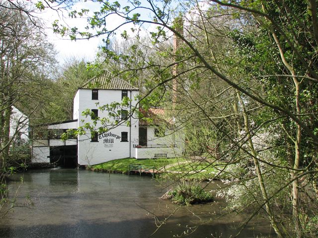
Claythorpe

Claythorpe is a hamlet about 5 miles (8 km) north-west from the town of Alford, Lincolnshire, England, most notable for its water mill. The population...

Aby for Claythorpe railway station

Aby for Claythorpe was a railway station on the East Lincolnshire Railway which served the hamlets of Aby and Claythorpe in Lincolnshire between 1848 and...

Beesby, East Lindsey

Beesby is a village and (as Beesby in the Marsh) a former civil parish, now in the parish of Beesby with Saleby, in the East Lindsey district of Lincolnshire...

Ailby

Ailby is a hamlet in the East Lindsey district of Lincolnshire, England. It is situated less than 1 mile (1.6 km) north-west from Alford, and forms part...

Belleau, Lincolnshire

Belleau is a hamlet and civil parish in the East Lindsey district of Lincolnshire, England. It is situated approximately 7 miles (11 km) south-east of...

Have you been to Aby with Greenfield?

Leave your review of Aby with Greenfield below (or comments, questions and feedback).