Abthorpe

Civil Parish in Northamptonshire

England

Abthorpe

St John the Baptist's, Abthorpe
St John the Baptist's, Abthorpe Credit: Andrew Smith

Abthorpe is a small village and civil parish located in South Northamptonshire, England. Situated approximately 5 miles southeast of Towcester, the village is nestled in the heart of the picturesque Northamptonshire countryside.

With a population of around 300 residents, Abthorpe offers a peaceful and close-knit community atmosphere. The village is known for its historic charm and traditional English architecture, with many of its buildings dating back several centuries. The local church, St. John the Baptist, is a prominent feature of the village and adds to its character.

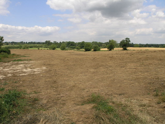
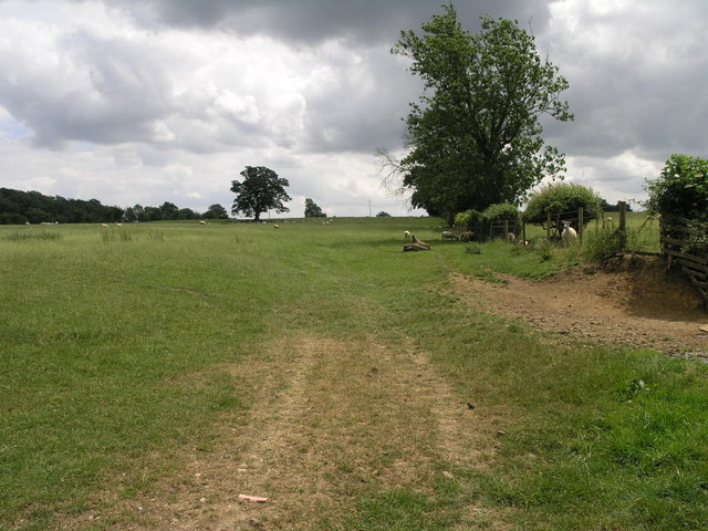
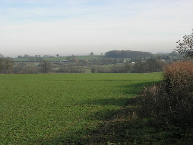
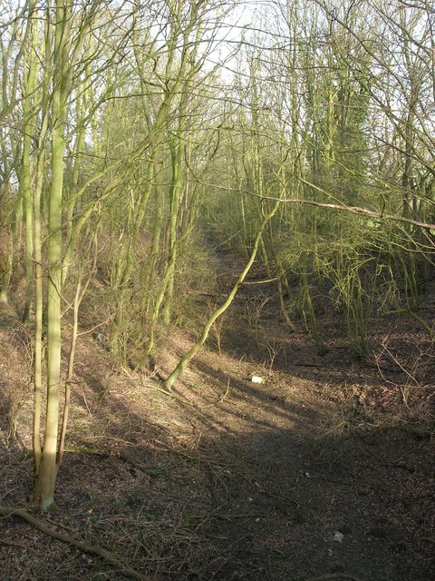
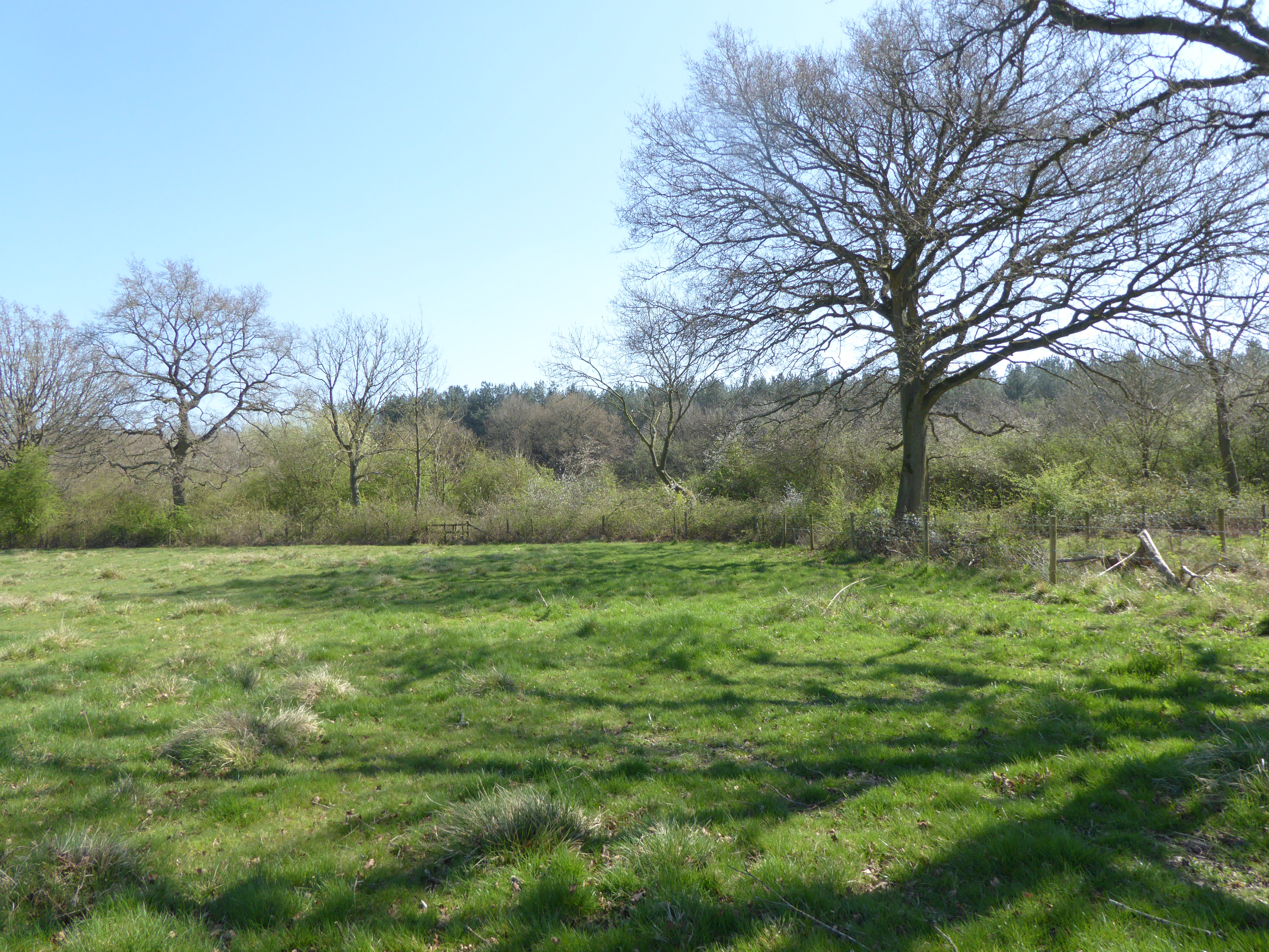
Abthorpe is surrounded by rolling hills and beautiful countryside, making it an ideal location for outdoor enthusiasts and nature lovers. The village is surrounded by farmland, providing a scenic backdrop for leisurely walks and bike rides. The nearby Whittlewood Forest offers further opportunities for exploration and outdoor activities.

Despite its small size, Abthorpe is well-connected to larger towns and cities in the area. The village is conveniently located near the A43 road, providing easy access to Northampton, Milton Keynes, and the M1 motorway. The nearby town of Towcester offers a range of amenities, including shops, restaurants, and schools, ensuring that residents have easy access to everyday necessities.

In summary, Abthorpe is a charming and tranquil village in Northamptonshire, offering a close-knit community, historic architecture, and stunning natural surroundings. Its idyllic location and convenient access to nearby towns make it an attractive place to live for those seeking a rural lifestyle with modern conveniences.

If you have any feedback on the listing, please let us know in the comments section below.

Abthorpe Images

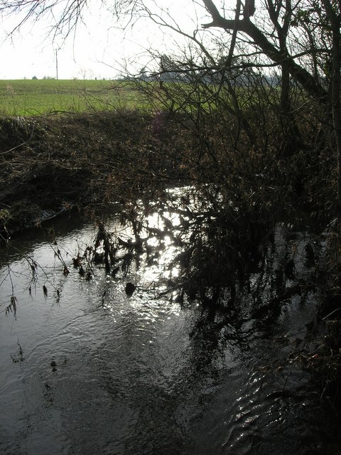
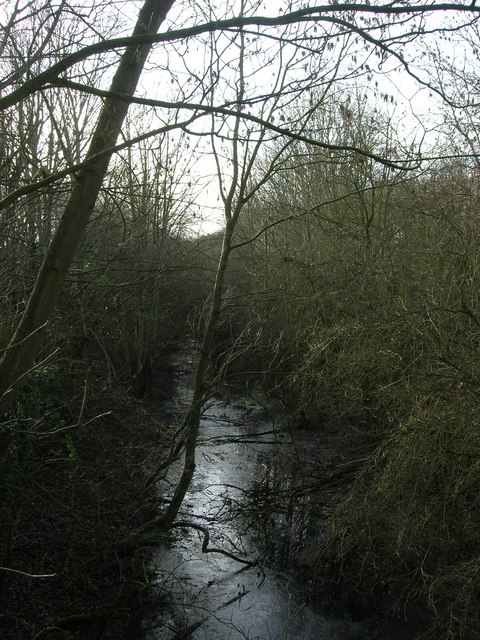
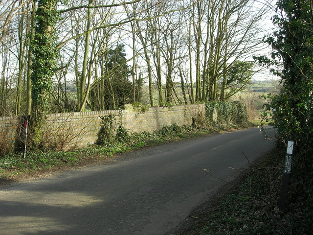
Images are sourced within 2km of 52.106559/-1.045046 or Grid Reference SP6545. Thanks to Geograph Open Source API. All images are credited.

St John the Baptist's, Abthorpe
Field to the River The River Tove runs in the bottom of this shallow valley.  A footpath across this field follows along the course of the river.
Field to the River
The River Tove runs in the bottom of this shallow valley. A footpath across this field follows along the course of the river.
Bridleway to Handley This bridleway climbs up the River Tove valley on its way to Handley Barn.
Bridleway to Handley
This bridleway climbs up the River Tove valley on its way to Handley Barn.
River Tove
River Tove
Dismantled Railway The track bed is now flooded and looks more like a stream.
Dismantled Railway
The track bed is now flooded and looks more like a stream.
Winter field
Winter field
Bridge over dismantled railway Bridge carrying the Blakesley-Abthorpe road
Bridge over dismantled railway
Bridge carrying the Blakesley-Abthorpe road
Dismantled railway line
River Tove River Tove from Ox Bridge.
River Tove
River Tove from Ox Bridge.
Main bridleway through Bucknell Wood This wide metalled track leads all the way down to the car park at the other end.  The track continues behind the photographer,  but as only a smaller, rough bridleway.  Other tracks lead off to the left and right.
Main bridleway through Bucknell Wood
This wide metalled track leads all the way down to the car park at the other end. The track continues behind the photographer, but as only a smaller, rough bridleway. Other tracks lead off to the left and right.
Mushroom carved from tree stump This is quite small (approximately 2 feet high) and off a small path,  so you can  only see it when you're almost on top of it.
Mushroom carved from tree stump
This is quite small (approximately 2 feet high) and off a small path, so you can only see it when you're almost on top of it.
Junction of many paths Bucknell Wood is full of paths and bridleways.  This is one of several points where many come together.
Junction of many paths
Bucknell Wood is full of paths and bridleways. This is one of several points where many come together.
Avenue of trees In the middle of Bucknell Woods is this planted venue of trees.
Avenue of trees
In the middle of Bucknell Woods is this planted venue of trees.
Bucknell Wood These woods are large and not commonly known,  so you can walk for hours and never meet anyone.  This board is on the edge of the small car park,  next to the picnic area.

Forestry Commission website for Bucknells Wood - <span class="nowrap"><a title="http://www.forestry.gov.uk/website/wildwoods.nsf/LUWebDocsByKey/EnglandNorthamptonshireWhittlewoodForestBucknellsWood" rel="nofollow ugc noopener" href="http://www.forestry.gov.uk/website/wildwoods.nsf/LUWebDocsByKey/EnglandNorthamptonshireWhittlewoodForestBucknellsWood">Link</a><img style="margin-left:2px;" alt="External link" title="External link - shift click to open in new window" src="https://s1.geograph.org.uk/img/external.png" width="10" height="10"/></span>
Bucknell Wood
These woods are large and not commonly known, so you can walk for hours and never meet anyone. This board is on the edge of the small car park, next to the picnic area. Forestry Commission website for Bucknells Wood - LinkExternal link
Bucknell Wood picnic area This picnic area, with several permanent tables, is next to the small car park.  The approach road is very rough - so drive carefully!
Bucknell Wood picnic area
This picnic area, with several permanent tables, is next to the small car park. The approach road is very rough - so drive carefully!
J.B. Mushrooms, Silverthorpe Six large polytunnels.  Not sure how these relate to mushroom growing,  since that requires a darker environment and cooler temperatures.
J.B. Mushrooms, Silverthorpe
Six large polytunnels. Not sure how these relate to mushroom growing, since that requires a darker environment and cooler temperatures.
Oak Grove Farm
Oak Grove Farm
Footpath near Handley Barn The footpath follows the line of this track off the Silverstone - Blakesley road.
Footpath near Handley Barn
The footpath follows the line of this track off the Silverstone - Blakesley road.
Show me another place!

Abthorpe is located at Grid Ref: SP6545 (Lat: 52.106559, Lng: -1.045046)

Unitary Authority: West Northamptonshire

Police Authority: Northamptonshire

What 3 Words

///remarked.magically.basket. Near Silverstone, Northamptonshire

Nearby Locations

Abthorpe

Related Wikis

South Northamptonshire (UK Parliament constituency)

South Northamptonshire is a constituency represented in the House of Commons of the UK Parliament since its 2010 recreation by Andrea Leadsom, a Conservative...

Abthorpe

Abthorpe is a village and civil parish in the valley of the River Tove in West Northamptonshire, England, about 4 miles (6.4 km) west of Towcester, 2 miles...

Bucknell Wood Meadows

Bucknell Wood Meadows is a 9.2-hectare (23-acre) biological Site of Special Scientific Interest north-west of Silverstone in Northamptonshire.This site...

Slapton, Northamptonshire

Slapton is a small village in Northamptonshire, England, about 4 miles (6.4 km) from Towcester and the same from Silverstone. It is close to the A43 road...

Nearby Amenities

Located within 500m of 52.106559,-1.045046
Barrier: footgate
Bicycle: yes
Foot: yes
Horse: yes
Lat/Long: 52.1068972/-1.0498378
Barrier: step_over
Lat/Long: 52.1085541/-1.0455117
Barrier: stile
Steps: 1
Lat/Long: 52.1059579/-1.0422785
Barrier: footgate
Bicycle: yes
Foot: yes
Horse: yes
Lat/Long: 52.1051236/-1.04789
Barrier: horse_jump
Note: ...
Note 1: No signs, Almost just a wood fence
Lat/Long: 52.1045544/-1.0497766
Power: pole
Source: Bing
Lat/Long: 52.1044874/-1.039333
Barrier: footgate
Bicycle: yes
Foot: yes
Horse: yes
Lat/Long: 52.1047465/-1.0477095
Power: pole
Lat/Long: 52.1050476/-1.0405438
Note: check power lines
Lat/Long: 52.1055939/-1.0399685
Direction: WSW
Generator Method: photovoltaic
Generator Output Electricity: yes
Generator Solar Modules: 14
Generator Source: solar
Generator Type: solar_photovoltaic_panel
Location: roof
Power: generator
Lat/Long: 52.1060408/-1.0406706
The data included in this document is from www.openstreetmap.org. The data is made available under ODbL.

Have you been to Abthorpe?

Leave your review of Abthorpe below (or comments, questions and feedback).