Abbots Langley

Civil Parish in Hertfordshire Three Rivers

England

Abbots Langley

Canal lock, Kings Langley Lock on Grand Union Canal, at the SE side of Kings Langley looking N from the road bridge at TL076021.
Canal lock, Kings Langley Credit: Rob Hinkley

Abbots Langley is a civil parish located in the county of Hertfordshire in England. It is situated approximately 25 miles northwest of central London and is part of the Three Rivers District. This picturesque village is surrounded by beautiful countryside and offers a peaceful and idyllic setting for its residents.

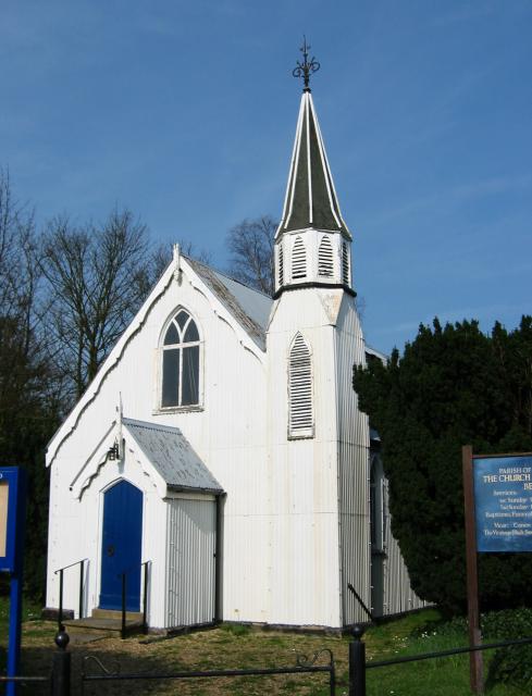
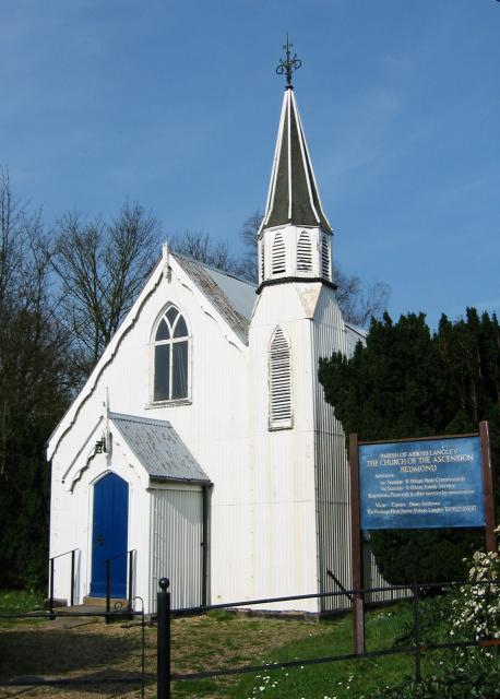
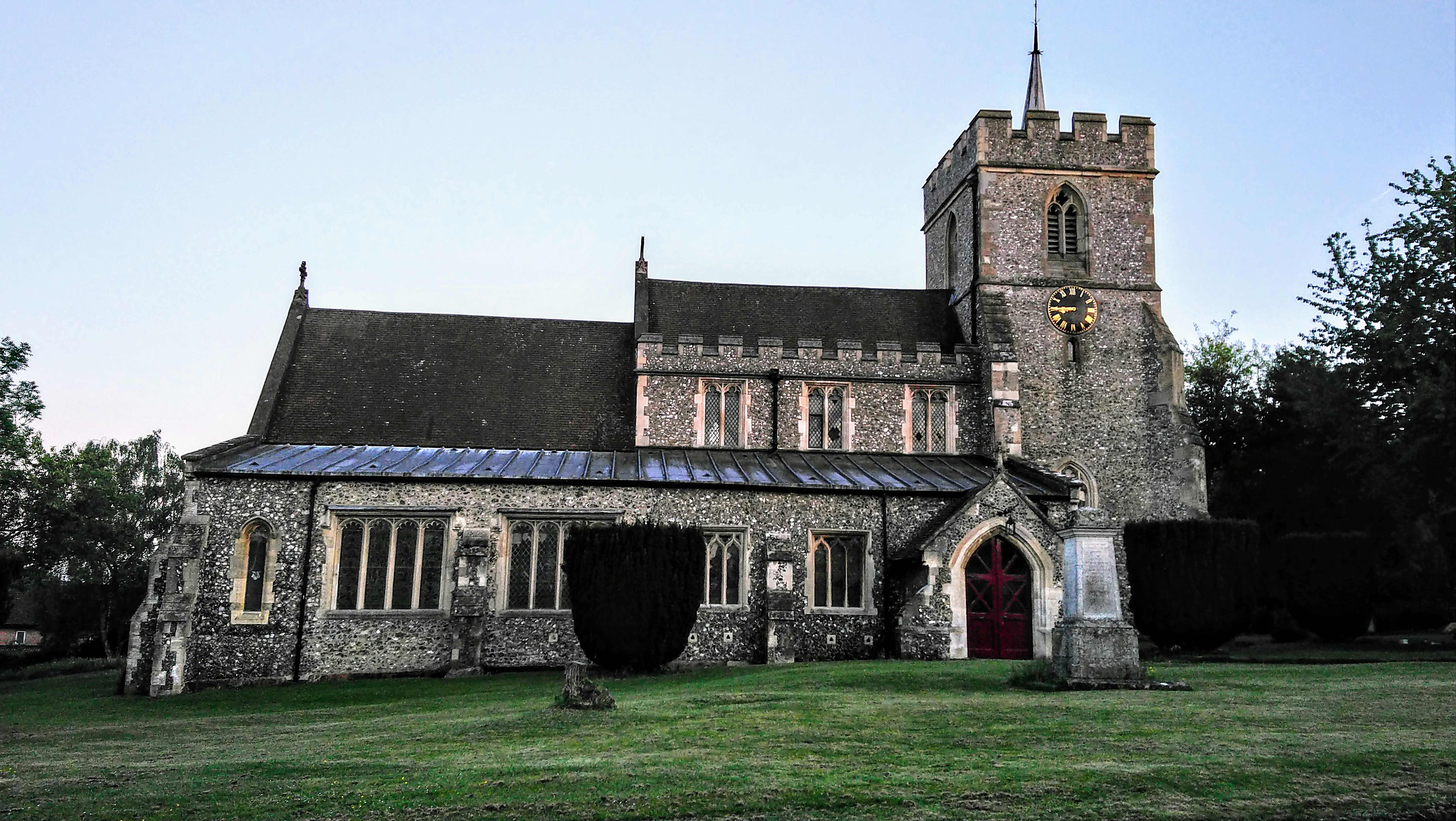
The history of Abbots Langley dates back to the 12th century when it was a prosperous farming community. It was named after the abbots of St. Albans Abbey, who owned the land in the area. Today, remnants of the village's rich history can still be seen in its charming architecture, including the 14th-century Church of St. Lawrence and the historic High Street.

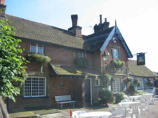
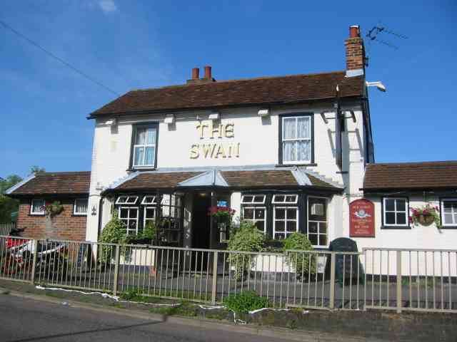
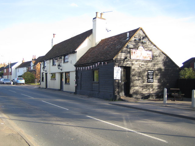
The village is well-served by amenities and facilities for its residents. It has a range of shops, including local businesses, supermarkets, and boutiques. Abbots Langley also boasts several pubs, restaurants, and cafes, offering a variety of dining options.

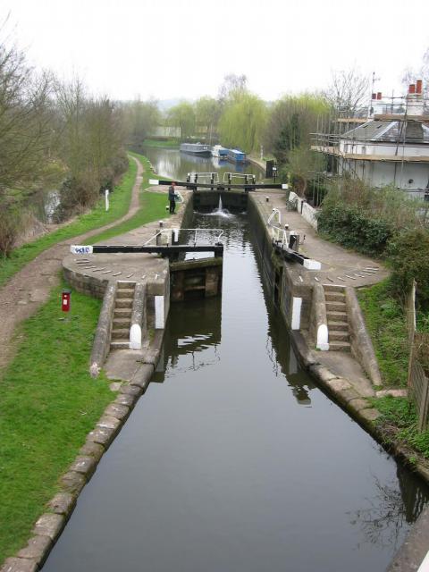
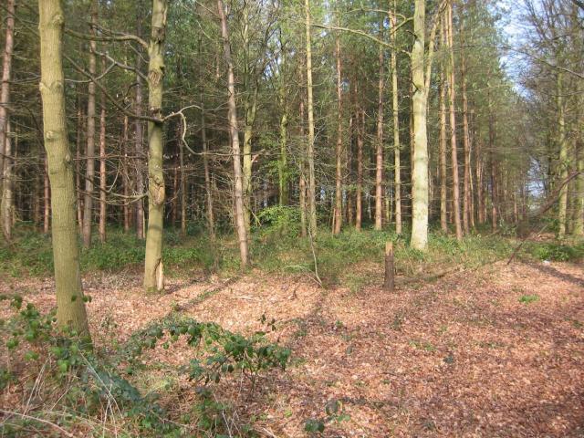
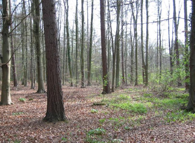
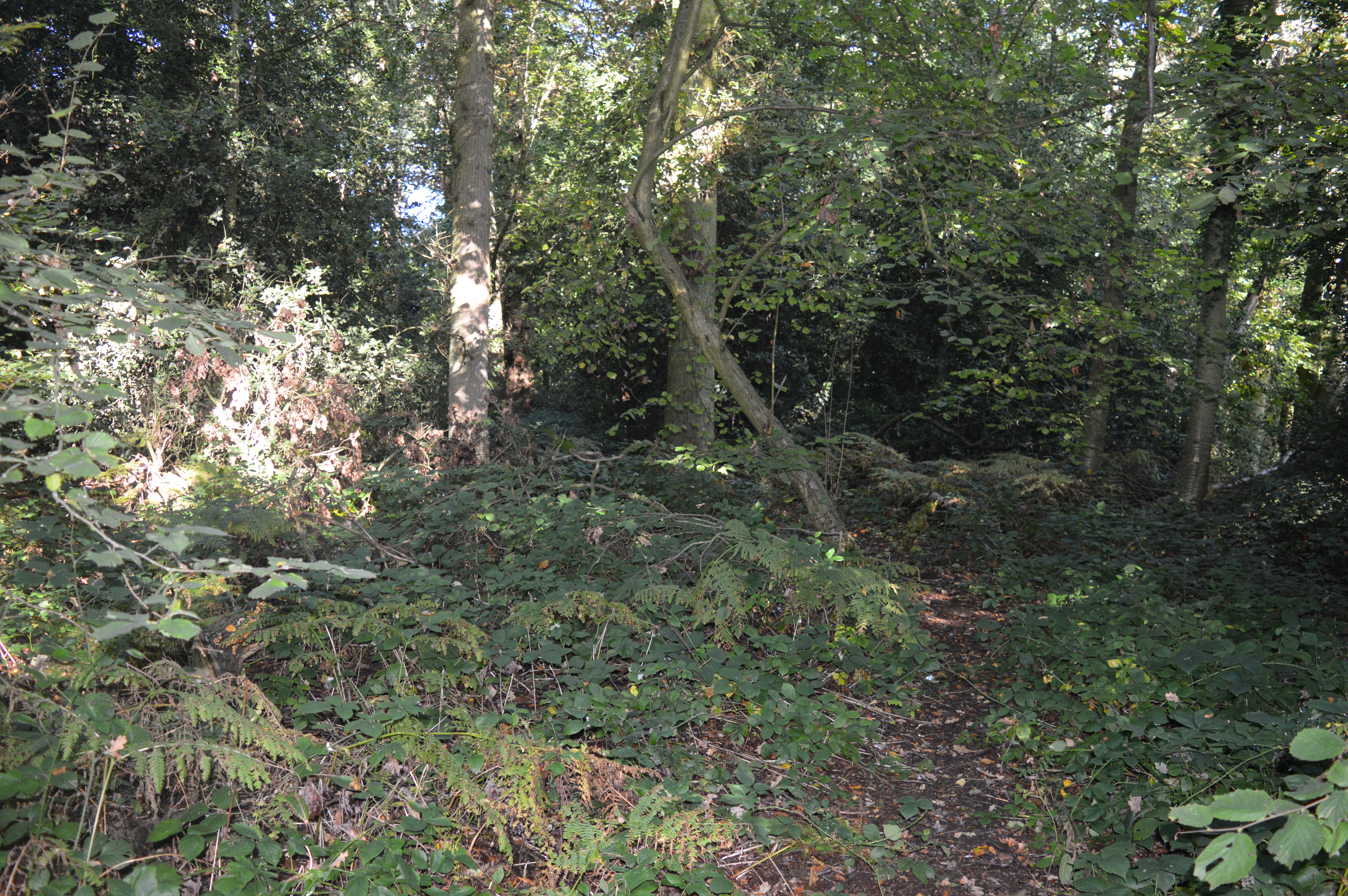
For outdoor enthusiasts, Abbots Langley offers plenty of green spaces to explore. The nearby Leavesden Country Park is a popular destination for walking, jogging, and picnicking. Additionally, the Grand Union Canal runs through the village, providing opportunities for boating, fishing, and cycling along its scenic towpath.

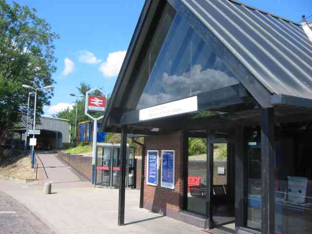
Transport links in Abbots Langley are excellent, with easy access to major roads including the M1 and M25 motorways. The village is served by regular bus services, connecting it to nearby towns and cities. The nearest railway station is Kings Langley, providing direct train services to London Euston in approximately 30 minutes.

Overall, Abbots Langley offers a charming and peaceful environment, combined with excellent amenities and transport links, making it an attractive place to live for both families and professionals.

If you have any feedback on the listing, please let us know in the comments section below.

Abbots Langley Images

Images are sourced within 2km of 51.721885/-0.428025 or Grid Reference TL0803. Thanks to Geograph Open Source API. All images are credited.

Canal lock, Kings Langley Lock on Grand Union Canal, at the SE side of Kings Langley looking N from the road bridge at TL076021.
Canal lock, Kings Langley
Lock on Grand Union Canal, at the SE side of Kings Langley looking N from the road bridge at TL076021.
Corrugated tin church, Bedmond The Church Of The Ascension at Bedmond, in the NE corner of the grid square, is very small and seems to be built almost entirely from sheets of corrugated metal.
Corrugated tin church, Bedmond
The Church Of The Ascension at Bedmond, in the NE corner of the grid square, is very small and seems to be built almost entirely from sheets of corrugated metal.
Tin church, Bedmond Another photo of the little sheet-metal church in Bedmond.
Tin church, Bedmond
Another photo of the little sheet-metal church in Bedmond.
Potterscrouch Plantations Looking East from the forestry track in Potterscrouch Plantations at TL104047.
Potterscrouch Plantations
Looking East from the forestry track in Potterscrouch Plantations at TL104047.
Plantation Looking SW from the track through the woods at TL104047.
Plantation
Looking SW from the track through the woods at TL104047.
The "Funny Farm"  Bedmond I presume that this farm is available for children
that hands on stuff
The "Funny Farm" Bedmond
I presume that this farm is available for children that hands on stuff
White Hart Inn Bedmond Just a confirmation that it exists.
White Hart Inn Bedmond
Just a confirmation that it exists.
The Swan Inn, Pimlico  Herts Evidence that the people of Pimlico get thirsty
The Swan Inn, Pimlico Herts
Evidence that the people of Pimlico get thirsty
Railway Station at Kings Langley A simple fresh design in keeping with the Tilting trains zooming by overhead
Railway Station at Kings Langley
A simple fresh design in keeping with the Tilting trains zooming by overhead
Housing in the Ovaltine Factory, Kings Langley The factory has been gutted and is now being re-developed.
Housing in the Ovaltine Factory, Kings Langley
The factory has been gutted and is now being re-developed.
Generator at Kings Langley This wind turbine is powering the redeveloped Ovaltine Egg farm
Generator at Kings Langley
This wind turbine is powering the redeveloped Ovaltine Egg farm
RES  at Old Ovaltine Egg Farm Kings Langley All the original buildings have been redeveloped into offices and research rooms.
This is Beaufort Court and houses Renewable Energy Systems <span class="nowrap"><a title="http://www.beaufortcourt.com/" rel="nofollow ugc noopener" href="http://www.beaufortcourt.com/">Link</a><img style="margin-left:2px;" alt="External link" title="External link - shift click to open in new window" src="https://s1.geograph.org.uk/img/external.png" width="10" height="10"/></span>
RES at Old Ovaltine Egg Farm Kings Langley
All the original buildings have been redeveloped into offices and research rooms. This is Beaufort Court and houses Renewable Energy Systems LinkExternal link
C of E Church Kings Langley I took a fancy to the red door
C of E Church Kings Langley
I took a fancy to the red door
Rose and Crown Pub Kings Langley This pub is opposite to the church at the Tee junction.
Rose and Crown Pub Kings Langley
This pub is opposite to the church at the Tee junction.
The Boys Home Pub Abbots Langley A strange name for a pub but probably the original one.
The Boys Home Pub Abbots Langley
A strange name for a pub but probably the original one.
The Library at Abbots Langley This building has a very friendly air about it and floods of light inside from a top level rooflight
The Library at Abbots Langley
This building has a very friendly air about it and floods of light inside from a top level rooflight
R.C Church in Abbots Langley The huge bas relief panel over the entrance gives it prominence when seen from the High Street.
R.C Church in Abbots Langley
The huge bas relief panel over the entrance gives it prominence when seen from the High Street.
Kings Langley Common See <a title="https://www.geograph.org.uk/photo/98404" href="https://www.geograph.org.uk/photo/98404">Link</a> for view looking down same road.
Kings Langley Common
See Link for view looking down same road.
Show me another place!

Abbots Langley is located at Grid Ref: TL0803 (Lat: 51.721885, Lng: -0.428025)

Administrative County: Hertfordshire

District: Three Rivers

Police Authority: Hertfordshire

What 3 Words

///hiding.saying.intro. Near Abbots Langley, Hertfordshire

Related Wikis

Nearby Amenities

Located within 500m of 51.721885,-0.428025
High View Park
Naptan AtcoCode: 210021800710
Naptan Bearing: NE
Naptan BusStopType: CUS
Naptan CommonName: High View Park
Naptan Crossing: Grosvenor Square
Naptan Indicator: o/s
Naptan Landmark: Grosvenor Square
Naptan NaptanCode: hrtajtad
Naptan ShortCommonName: NA
Naptan Street: Toms Lane
Naptan Verified: no
Source: naptan_import
Lat/Long: 51.7177818/-0.4306342
Bus Stop
High View Park
Bus: yes
Naptan AtcoCode: 210021806030
Naptan Bearing: SW
Naptan CommonName: High View Park
Naptan Crossing: Benmore Farm
Naptan Indicator: opp
Naptan Landmark: Benmore Farm
Naptan NaptanCode: hrtagmtp
Naptan ShortCommonName: NA
Naptan Street: Toms Lane
Naptan Verified: no
Public Transport: platform
Source: naptan_import
Lat/Long: 51.7177002/-0.4305791
Post Box
Collection Times: Mo-Fr 16:00; Sa 07:45
Operator: Royal Mail
Operator Wikidata: Q638098
Post Box Type: lamp
Ref: HP3 151
Royal Cypher: EIIR
Royal Cypher Wikidata: Q33102113
Source: survey
Survey Date: 2016-03-13
Lat/Long: 51.7244626/-0.43235
Barrier: stile
Lat/Long: 51.7238122/-0.4266831
Barrier: kissing_gate
Lat/Long: 51.7216364/-0.434395
Barrier: kissing_gate
Lat/Long: 51.7228368/-0.4333649
Barrier: kissing_gate
Lat/Long: 51.7237645/-0.432927
Barrier: kissing_gate
Lat/Long: 51.724396/-0.432506
Barrier: kissing_gate
Lat/Long: 51.7250419/-0.4284834
Barrier: stile
Lat/Long: 51.7250158/-0.427558
Traffic Calming: bump
Lat/Long: 51.7182523/-0.4314061
Traffic Calming: bump
Lat/Long: 51.7179138/-0.4310285
Traffic Calming: bump
Lat/Long: 51.7194891/-0.4327818
Traffic Calming: bump
Lat/Long: 51.7191981/-0.4325892
Traffic Calming: bump
Lat/Long: 51.7187968/-0.4323234
Traffic Calming: bump
Lat/Long: 51.7190226/-0.431478
The data included in this document is from www.openstreetmap.org. The data is made available under ODbL.

Have you been to Abbots Langley?

Leave your review of Abbots Langley below (or comments, questions and feedback).