Aldeby
Settlement in Norfolk South Norfolk
England
Aldeby

Aldeby is a small village located in the county of Norfolk, England. Situated on the banks of the River Waveney, it is part of the South Norfolk district. The village covers an area of approximately 7 square miles and is home to a population of around 900 residents.
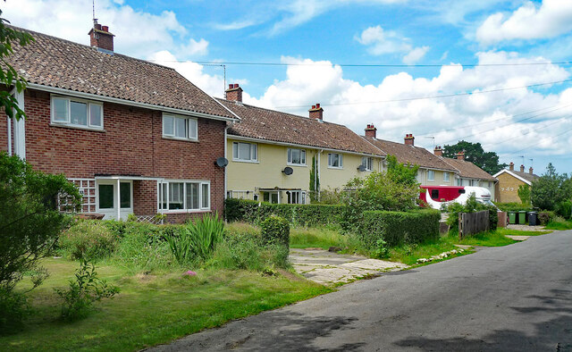
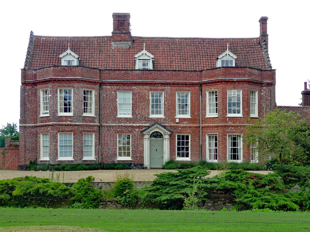
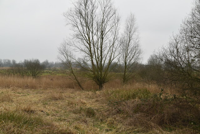
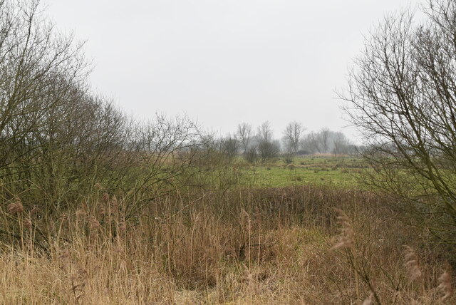
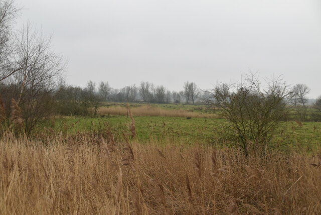
Aldeby is known for its picturesque countryside and tranquil setting. Surrounded by farmland and rolling hills, it offers a peaceful and idyllic escape from the hustle and bustle of city life. The village itself features a mix of traditional cottages, farmhouses, and modern housing developments.
The village boasts a range of amenities to cater to the needs of its residents. These include a primary school, a village hall, a post office, and a local shop. Additionally, there are several pubs and restaurants, providing a warm and friendly atmosphere for locals and visitors alike.
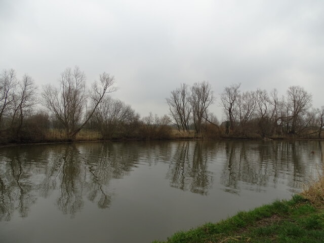
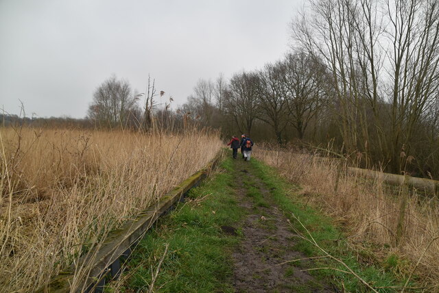
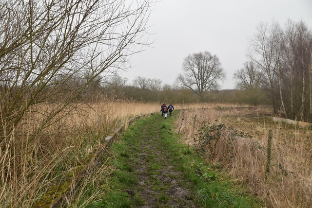
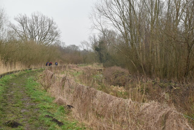
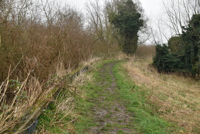
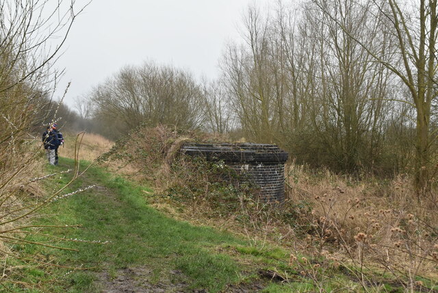
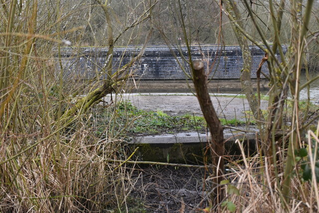
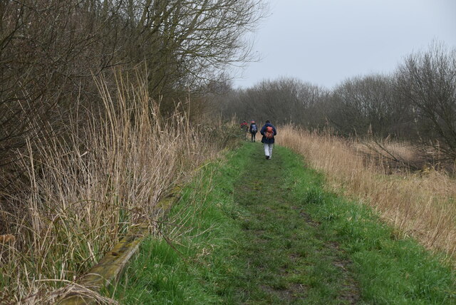
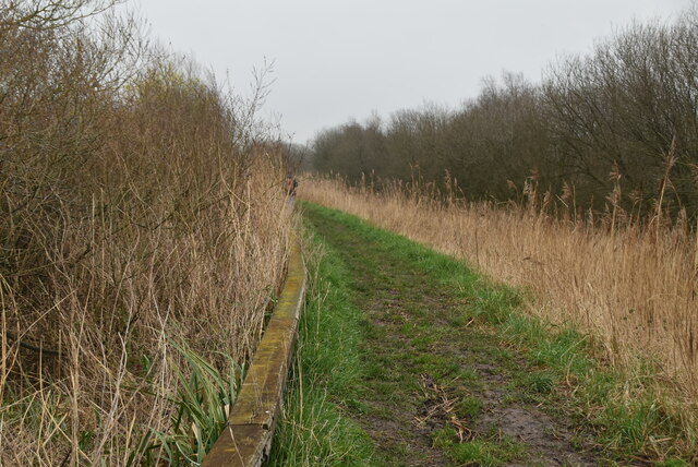
Aldeby is also popular with outdoor enthusiasts, offering ample opportunities for walking, cycling, and fishing. The River Waveney is particularly renowned for its fishing spots, attracting anglers from far and wide. The village is also surrounded by nature reserves and country parks, allowing visitors to explore the diverse flora and fauna that the area has to offer.
Overall, Aldeby is a charming village that exudes a sense of community and natural beauty. Its convenient location, combined with its peaceful ambiance, makes it an attractive place to live or visit for those seeking a slower pace of life and a connection with nature.
If you have any feedback on the listing, please let us know in the comments section below.
Aldeby Images
Images are sourced within 2km of 52.485965/1.607628 or Grid Reference TM4593. Thanks to Geograph Open Source API. All images are credited.


Aldeby is located at Grid Ref: TM4593 (Lat: 52.485965, Lng: 1.607628)
Administrative County: Norfolk
District: South Norfolk
Police Authority: Norfolk
What 3 Words
///museum.fruits.over. Near Beccles, Suffolk
Related Wikis

Aldeby
Aldeby is a village and civil parish in the English county of Norfolk. It is bounded to the south by the River Waveney, on the other side of which is Suffolk...
Wheatacre
Wheatacre is a civil parish in the English county of Norfolk. It covers an area of 4.38 km2 (1.69 sq mi) and had a population of 112 in 43 households at...

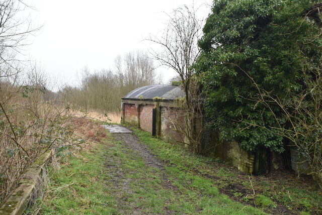
Aldeby railway station
Aldeby railway station was a station in Aldeby, in the English county of Norfolk. It was on the line between Great Yarmouth and Beccles; the station was...

Stanley and Alder Carrs, Aldeby
Stanley and Alder Carrs, Aldeby is a 42.7-hectare (106-acre) biological Site of Special Scientific Interest east of Gillingham in Norfolk. It is part of...
Nearby Amenities
Located within 500m of 52.485965,1.607628Have you been to Aldeby?
Leave your review of Aldeby below (or comments, questions and feedback).