Castle Caereinion
Community in Montgomeryshire
Wales
Castle Caereinion
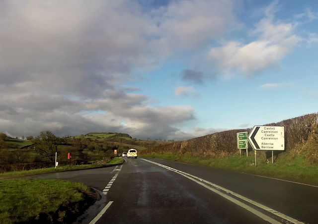
Castle Caereinion is a community located in Montgomeryshire, Wales. It is situated near the River Banwy and lies approximately 4 miles west of Welshpool. The community is home to a population of around 700 residents.
The name "Caereinion" is derived from the Welsh words "Caer" meaning fort and "Einion" which is a personal name. The area is known for its historical significance, as it was once the site of a medieval fortress, although no remains of the castle can be seen today.
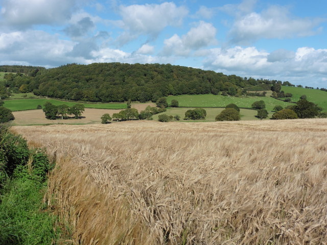
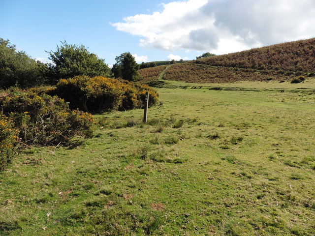
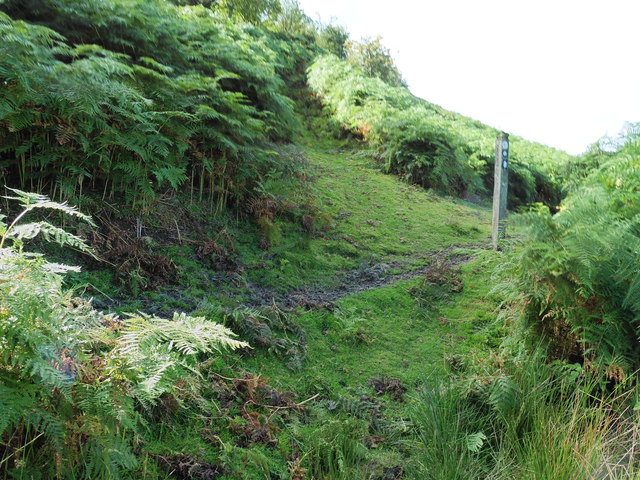
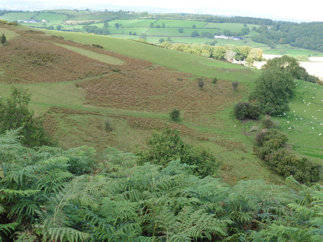
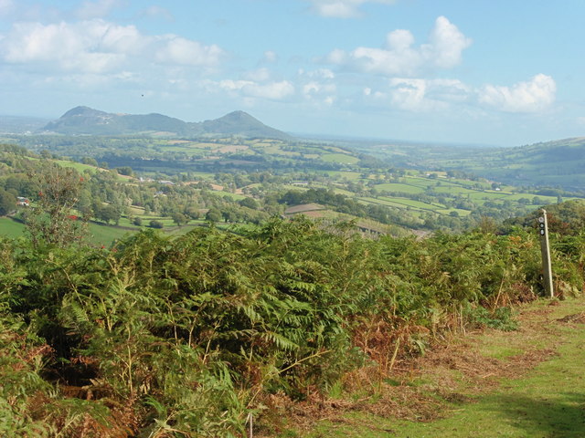
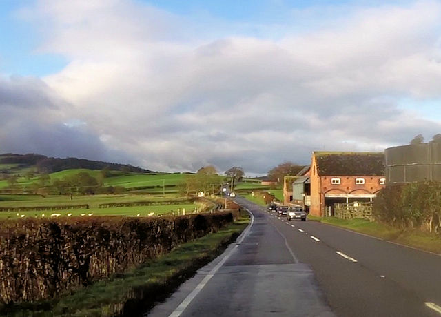
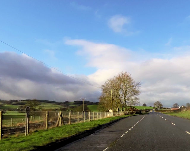
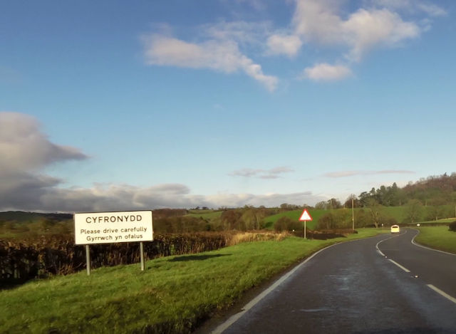
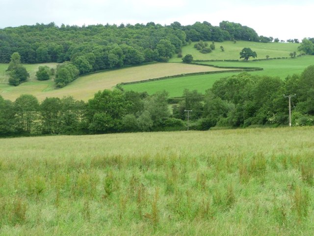
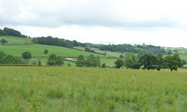
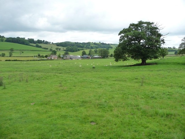
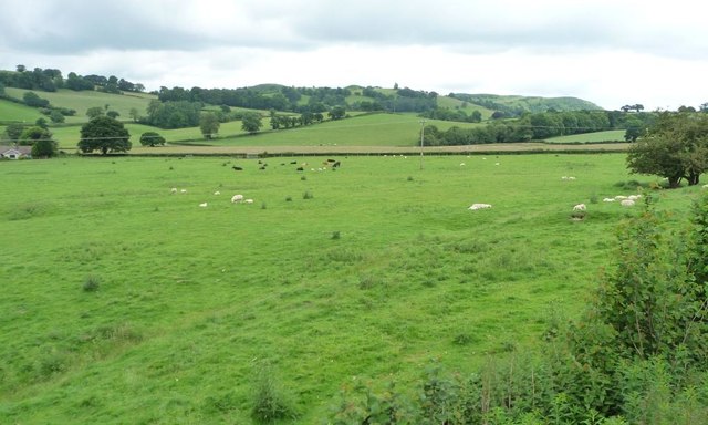
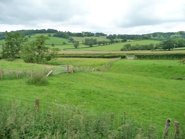
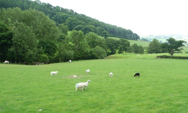
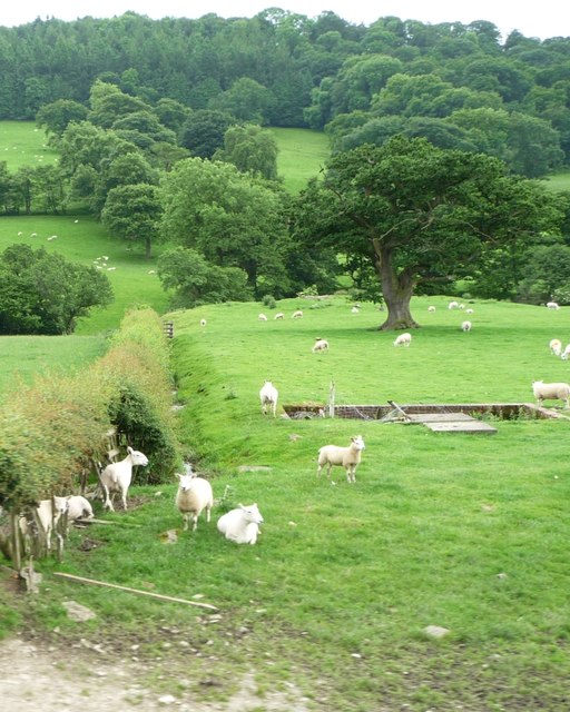
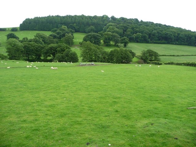
The community is predominantly rural, with picturesque countryside surroundings and rolling hills. The landscape is dotted with traditional stone-built houses and farms, contributing to the area's charming character.
Castle Caereinion is well-connected to nearby towns and cities, with Welshpool providing easy access to transportation links such as trains and buses. The community benefits from a close-knit and friendly atmosphere, with various community events and organizations strengthening the social fabric of the area.
In terms of amenities, Castle Caereinion offers a primary school, a village hall, and a local pub, providing essential services and a focal point for residents to gather and socialize. The surrounding natural beauty makes the community an appealing destination for outdoor enthusiasts, with numerous walks, trails, and fishing spots available nearby.
Overall, Castle Caereinion is a tranquil and idyllic community, offering a peaceful rural lifestyle amidst scenic surroundings.
If you have any feedback on the listing, please let us know in the comments section below.
Castle Caereinion Images
Images are sourced within 2km of 52.650461/-3.240657 or Grid Reference SJ1606. Thanks to Geograph Open Source API. All images are credited.
Castle Caereinion is located at Grid Ref: SJ1606 (Lat: 52.650461, Lng: -3.240657)
Unitary Authority: Powys
Police Authority: Dyfed Powys
Also known as: Castell Caereinion
What 3 Words
///flash.deleting.kiosk. Near Llanfair Caereinion, Powys
Nearby Locations
Related Wikis

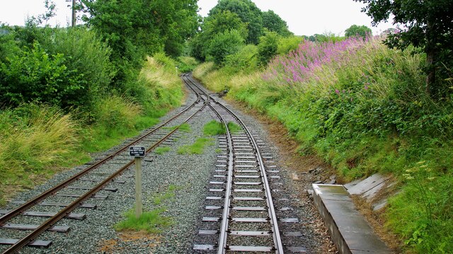
Castle Caereinion railway station
Castle Caereinion railway station is a railway station on the 2 ft 6 in (762 mm) narrow gauge Welshpool and Llanfair Light Railway in Mid Wales. It serves...

Castle Caereinion
Castle Caereinion (Welsh: Castell Caereinion) is a small village and community in Montgomeryshire, Powys, Wales upon the River Banwy, around 8 miles west...
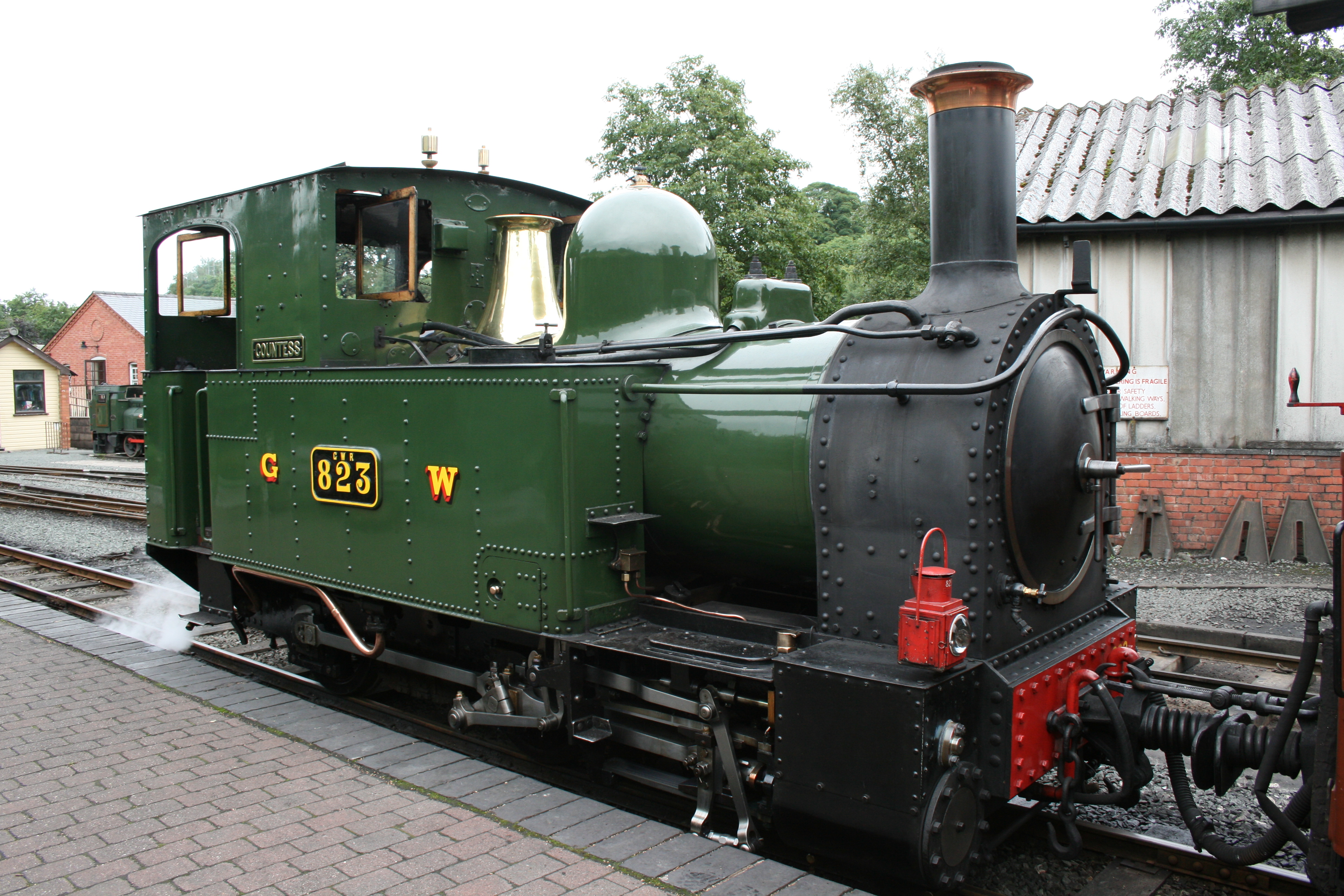
Welshpool and Llanfair Light Railway
The Welshpool and Llanfair Light Railway (W&LLR) (Welsh: Rheilffordd y Trallwng a Llanfair Caereinion) is a 2 ft 6 in (762 mm) narrow gauge heritage railway...

Sylfaen railway station
Sylfaen Halt railway station, located in the tiny hamlet of Sylfaen on the A548, is an unstaffed request halt on the narrow gauge Welshpool and Llanfair...
Nearby Amenities
Located within 500m of 52.650461,-3.240657Have you been to Castle Caereinion?
Leave your review of Castle Caereinion below (or comments, questions and feedback).