Castell Caereinion
Community in Montgomeryshire
Wales
Castell Caereinion
The requested URL returned error: 429 Too Many Requests
If you have any feedback on the listing, please let us know in the comments section below.
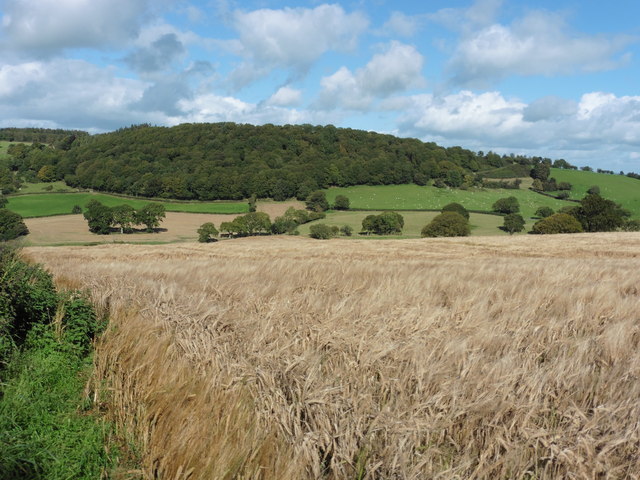
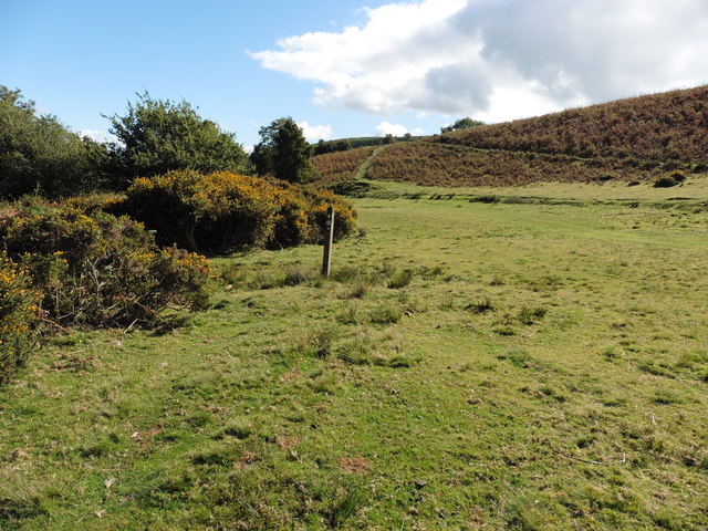
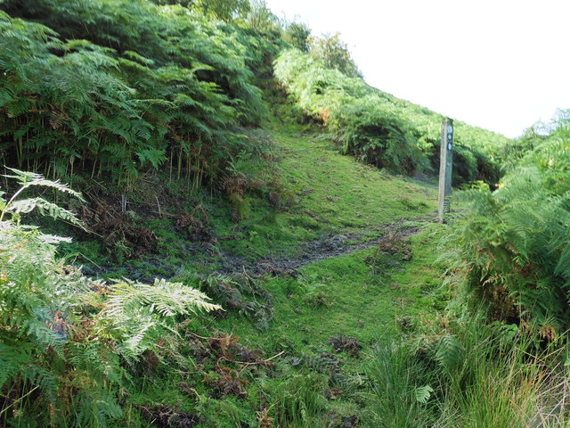
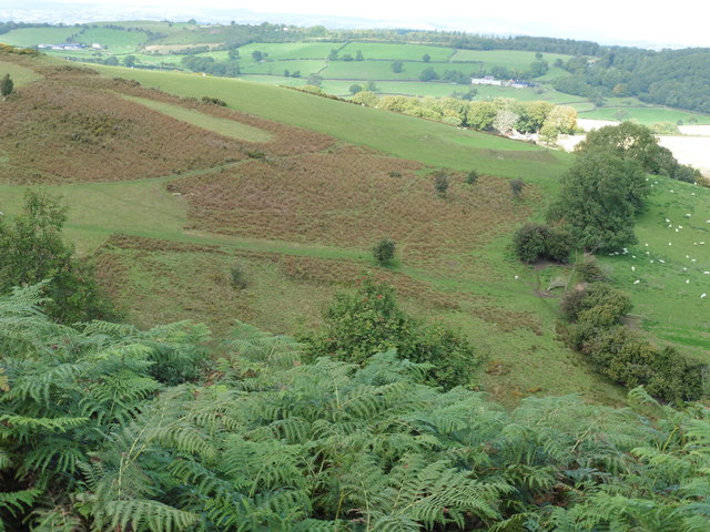
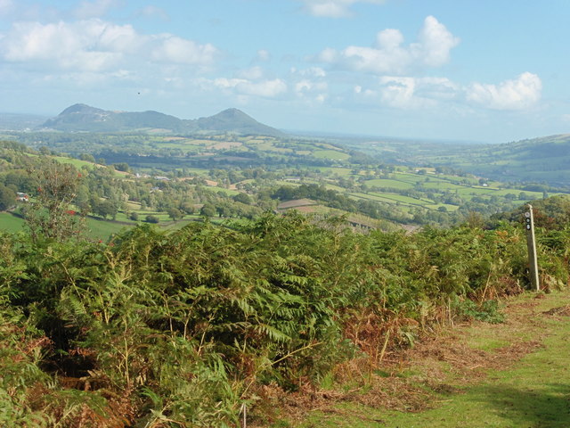
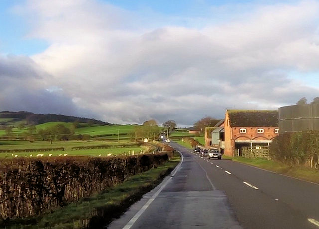
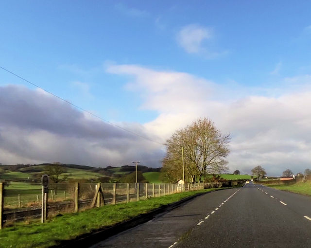
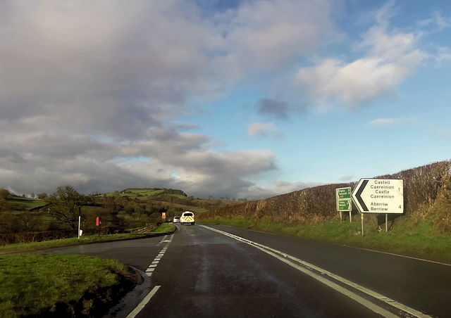
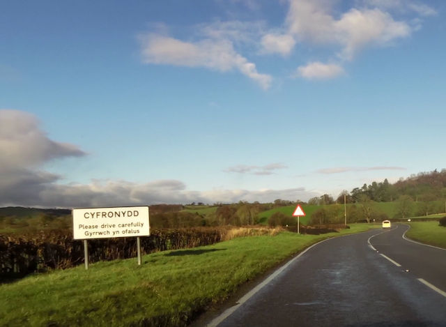
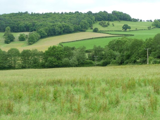
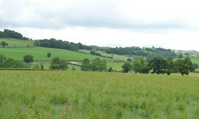
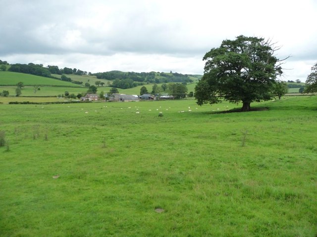
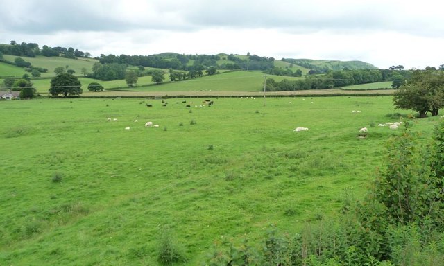
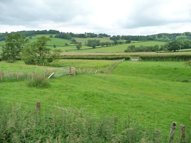
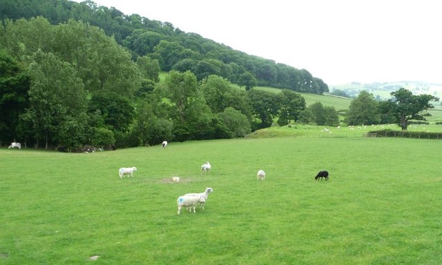
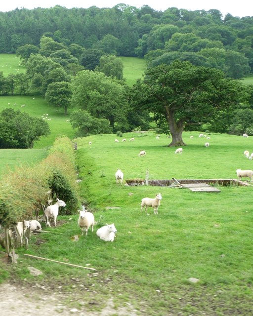
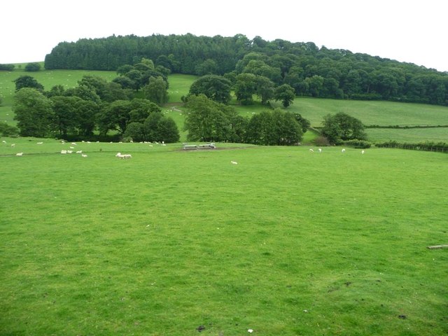
Castell Caereinion Images
Images are sourced within 2km of 52.650461/-3.240657 or Grid Reference SJ1606. Thanks to Geograph Open Source API. All images are credited.
Castell Caereinion is located at Grid Ref: SJ1606 (Lat: 52.650461, Lng: -3.240657)
Unitary Authority: Powys
Police Authority: Dyfed Powys
Also known as: Castle Caereinion
What 3 Words
///flash.deleting.kiosk. Near Llanfair Caereinion, Powys
Nearby Locations
Related Wikis

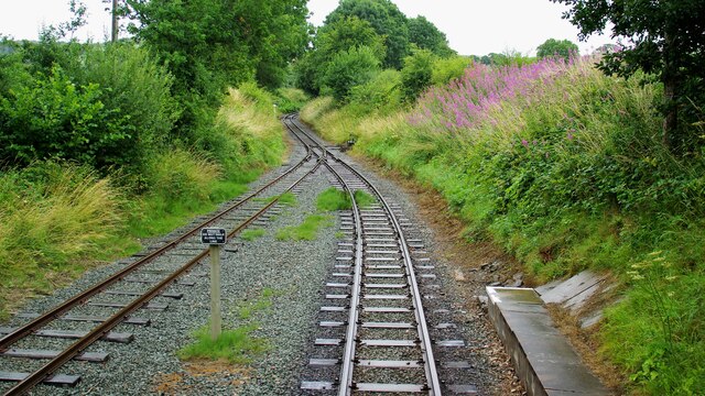
Castle Caereinion railway station
Castle Caereinion railway station is a railway station on the 2 ft 6 in (762 mm) narrow gauge Welshpool and Llanfair Light Railway in Mid Wales. It serves...

Castle Caereinion
Castle Caereinion (Welsh: Castell Caereinion) is a small village and community in Montgomeryshire, Powys, Wales upon the River Banwy, around 8 miles west...
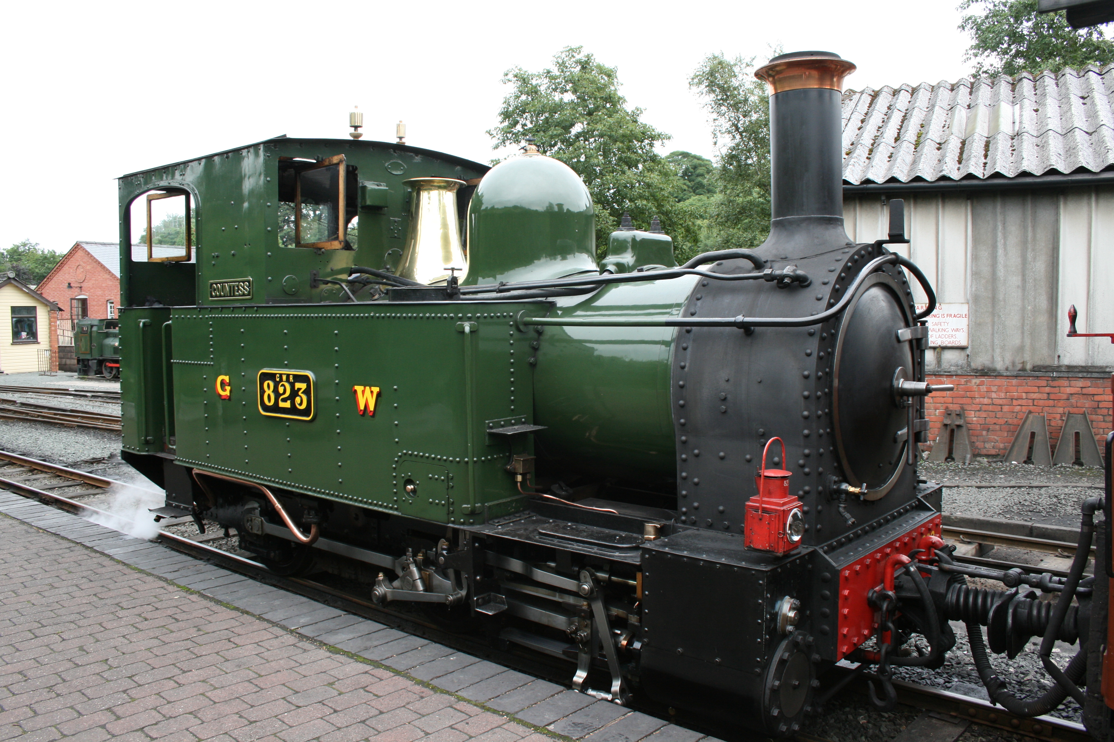
Welshpool and Llanfair Light Railway
The Welshpool and Llanfair Light Railway (W&LLR) (Welsh: Rheilffordd y Trallwng a Llanfair Caereinion) is a 2 ft 6 in (762 mm) narrow gauge heritage railway...

Sylfaen railway station
Sylfaen Halt railway station, located in the tiny hamlet of Sylfaen on the A548, is an unstaffed request halt on the narrow gauge Welshpool and Llanfair...
Nearby Amenities
Located within 500m of 52.650461,-3.240657Have you been to Castell Caereinion?
Leave your review of Castell Caereinion below (or comments, questions and feedback).