Bwcle
Community in Flintshire
Wales
Bwcle

The requested URL returned error: 429 Too Many Requests
If you have any feedback on the listing, please let us know in the comments section below.
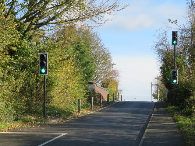
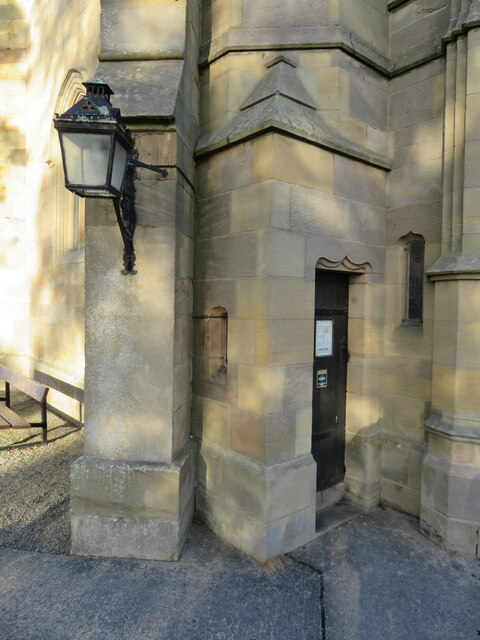
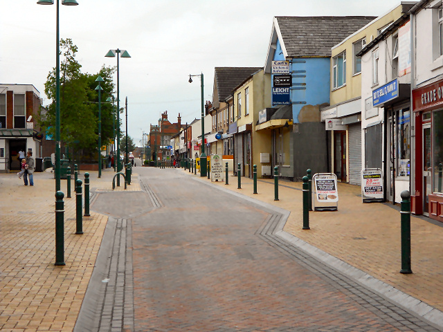
Bwcle Images
Images are sourced within 2km of 53.169468/-3.076907 or Grid Reference SJ2864. Thanks to Geograph Open Source API. All images are credited.


Bwcle is located at Grid Ref: SJ2864 (Lat: 53.169468, Lng: -3.076907)
Unitary Authority: Flintshire
Police Authority: North Wales
Also known as: Buckley
What 3 Words
///unpainted.inkjet.hotels. Near Buckley, Flintshire
Nearby Locations
Related Wikis

District of Alyn and Deeside
Alyn and Deeside (Welsh: Alun a Glannau Dyfrdwy) was one of six local government districts in the county of Clwyd, north-east Wales from 1974 to 1996....

Elfed High School
Elfed High School (Welsh: Ysgol Uwchradd Elfed) is an 11–16 mixed, English-medium community secondary school in Buckley, Flintshire, Wales. == History... ==

St Matthew's Church, Buckley
St Matthew's Church, is in the town of Buckley, Flintshire, Wales. It is an active Anglican parish church in the Borderlands Mission Area, the archdeaconry...
Buckley, Flintshire
Buckley (Welsh: Bwcle [ˈbʊklɛ]) is a town and community in Flintshire, north-east Wales, two miles (3 km) from the county town of Mold and contiguous with...
Nearby Amenities
Located within 500m of 53.169468,-3.076907Have you been to Bwcle?
Leave your review of Bwcle below (or comments, questions and feedback).