Buan

Community in Caernarfonshire

Wales

Buan

On Carn Fadryn - view towards Yr Eifl
On Carn Fadryn - view towards Yr Eifl Credit: Colin Park

Buan is a small community located in the historic county of Caernarfonshire, Wales. Situated in the northern part of the country, it is nestled between the Llŷn Peninsula and Snowdonia National Park. Buan is a rural area known for its picturesque landscapes and close-knit community.

The community of Buan covers a relatively small area, with a population of around 800 residents. The village itself is centered around a charming square, which features a few local shops, a post office, and a small primary school. The village also has a parish church, St. Bodfan's Church, which dates back to the 14th century and is a notable historical landmark.

The surrounding countryside of Buan is predominantly agricultural, with rolling hills and fertile fields. This area is known for sheep farming and dairy production, and many residents are involved in these industries. The landscape is dotted with traditional stone-built farmhouses and cottages, adding to the area's rustic charm.

Buan is also located near the coast, with beautiful sandy beaches just a short drive away. This makes it a popular destination for tourists during the summer months, who come to enjoy the idyllic scenery and explore the nearby coastal paths.

Overall, Buan offers a peaceful and picturesque setting for both residents and visitors. Its rural charm, close community, and proximity to natural beauty spots make it an attractive place to live or visit in Caernarfonshire.

If you have any feedback on the listing, please let us know in the comments section below.
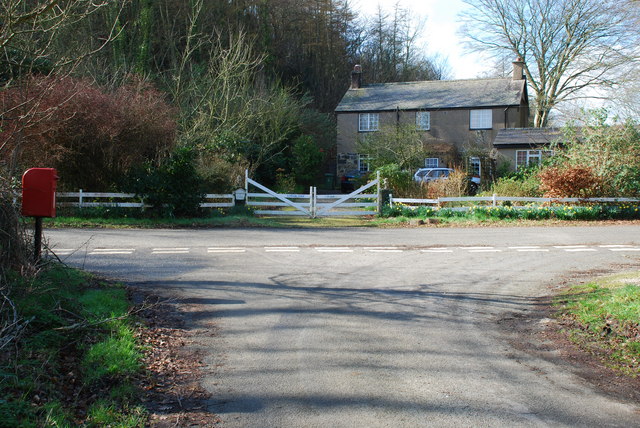
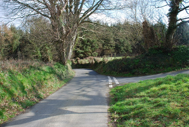
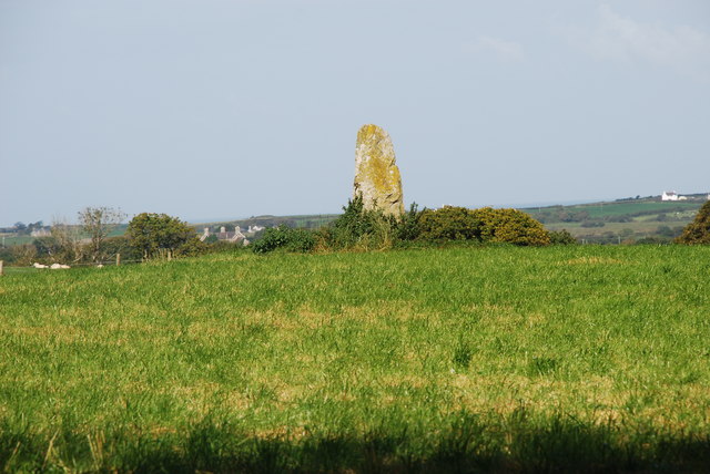
Buan Images

Images are sourced within 2km of 52.900113/-4.520312 or Grid Reference SH3036. Thanks to Geograph Open Source API. All images are credited.

On Carn Fadryn - view towards Yr Eifl
Llwybr Caerau Uchaf / Upper Caerau Path Cerddwyr yn dilyn llwybr cyhoeddus tuag at Ffarm Caerau Uchaf.

Walkers following a public footpath towards Caerau Uchaf Farm (trans. upper forts).
Llwybr Caerau Uchaf / Upper Caerau Path
Cerddwyr yn dilyn llwybr cyhoeddus tuag at Ffarm Caerau Uchaf. Walkers following a public footpath towards Caerau Uchaf Farm (trans. upper forts).
Field with ewes and lambs Warm Spring sunshine has started the grass growing and is getting the new lambs off to a good start. This view is to the East taking in the B4415 as it drops towards Rhyd-y-clafdy.
Field with ewes and lambs
Warm Spring sunshine has started the grass growing and is getting the new lambs off to a good start. This view is to the East taking in the B4415 as it drops towards Rhyd-y-clafdy.
Disused quarry A small, disused quarry at the roadside is developed in a localised outcrop of a rhyolitic tuff called the Bodgadle Member, of Ordovician, Caradoc age and associated with volcanic activity in the Pwllheli and Llanbedrog area. This rock has a very pale colour when weathered and can be seen as distinctive outcrops on the edge of the hill (e.g. <a href="https://www.geograph.org.uk/photo/1989291">SH3135 : View across pastureland towards Bodgadle Farm</a>).
Disused quarry
A small, disused quarry at the roadside is developed in a localised outcrop of a rhyolitic tuff called the Bodgadle Member, of Ordovician, Caradoc age and associated with volcanic activity in the Pwllheli and Llanbedrog area. This rock has a very pale colour when weathered and can be seen as distinctive outcrops on the edge of the hill (e.g. SH3135 : View across pastureland towards Bodgadle Farm).
Road junction near Garnfadryn Both roads lead to Botwnnog, the one on the right via Garnfadryn.
Road junction near Garnfadryn
Both roads lead to Botwnnog, the one on the right via Garnfadryn.
Milestone - Pwllheli 5
Cae Silwair / Silage field
Lane to Cors-yr-hafod Looking south.
Lane to Cors-yr-hafod
Looking south.
Woodland on Foel Ddu Foel Ddu means 'Black hill'.
Woodland on Foel Ddu
Foel Ddu means 'Black hill'.
Crossroads at Groesffordd I think that "Groesffordd" means "Crossroads" in Welsh, but it is the name of this place, and it does have a crossroads.
Crossroads at Groesffordd
I think that "Groesffordd" means "Crossroads" in Welsh, but it is the name of this place, and it does have a crossroads.
Lodge Isaf
Lodge Isaf
Cyffordd - Junction Nant y Gledrydd
Maen Hir Madryn Standing Stone Near Madryn Castle, this large standing stone overlooks the countryside towards Caernarfon Bay.
Maen Hir Madryn Standing Stone
Near Madryn Castle, this large standing stone overlooks the countryside towards Caernarfon Bay.
Maen Hir Madryn Standing Stone see <a href="https://www.geograph.org.uk/photo/555279">SH2936 : Maen Hir Madryn Standing Stone</a>
Maen Hir Madryn Standing Stone
Maen Hir Madryn Standing Stone see <a href="https://www.geograph.org.uk/photo/555279">SH2936 : Maen Hir Madryn Standing Stone</a>
Maen Hir Madryn Standing Stone
Maen Hir Meillionen Standing Stone Not shown on OS maps, this standing stone is only a short distance from
<a href="https://www.geograph.org.uk/photo/555279">SH2936 : Maen Hir Madryn Standing Stone</a>
Maen Hir Meillionen Standing Stone
Not shown on OS maps, this standing stone is only a short distance from SH2936 : Maen Hir Madryn Standing Stone
Narrow Lane near Maesoglan Heading east towards Maesoglan.
Narrow Lane near Maesoglan
Heading east towards Maesoglan.
View west towards the crossroads at Groesffordd The Welsh "croesffordd" (here mutated to "groesffordd") simply means "crossroads"
View west towards the crossroads at Groesffordd
The Welsh "croesffordd" (here mutated to "groesffordd") simply means "crossroads"
Show me another place!

Buan is located at Grid Ref: SH3036 (Lat: 52.900113, Lng: -4.520312)

Unitary Authority: Gwynedd

Police Authority: North Wales

What 3 Words

///automate.tummy.iron. Near Nefyn, Gwynedd

Nearby Locations

Buan

Related Wikis

Cors Geirch National Nature Reserve

Cors Geirch National Nature Reserve is an extensive wetland site on the Llŷn Peninsula, in the central part of the valley that runs between Nefyn and Pwllheli...

Llandudwen

Llandudwen is a former civil parish in the Welsh county of Gwynedd. It was abolished in 1934, and divided between Buan and Tudweiliog. == References ==

Llanfihangel Bachellaeth

Llanfihangel Bachellaeth is a former civil parish in the Welsh county of Gwynedd. It was abolished in 1934, and incorporated into Buan. == References ==

Boduan

Boduan is a village in Gwynedd, Wales, about 4 miles from Pwllheli. It is in the historic county of Caernarfonshire. It was due to host the National Eisteddfod...

Have you been to Buan?

Leave your review of Buan below (or comments, questions and feedback).