Bodedern
Community in Anglesey
Wales
Bodedern
Bodedern is a community located in the western part of the Isle of Anglesey in North Wales, United Kingdom. It covers an area of approximately 9 square kilometers and is situated about 11 kilometers southwest of Holyhead, the largest town on the island.
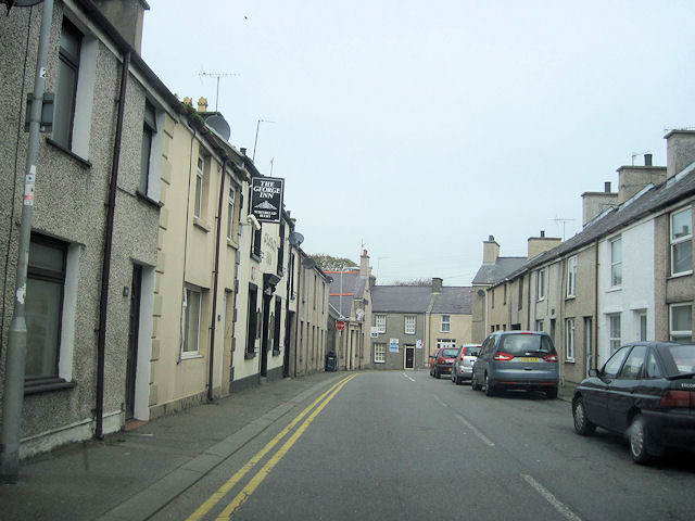
The community is predominantly rural, characterized by rolling hills, farmland, and scattered residential areas. Bodedern itself is a small village that serves as the administrative center for the surrounding area. It has a population of approximately 1,000 people, making it a tight-knit community where residents often know each other.
Despite its small size, Bodedern offers a range of amenities and services to its residents. These include a primary school, a church, a post office, a convenience store, and a few small businesses. The village also has a community center that hosts various events and activities throughout the year, fostering a sense of community spirit.
Nature lovers can enjoy the beautiful surrounding countryside, with plenty of walking and cycling routes in the area. Bodedern is also in close proximity to the stunning coastline of Anglesey, providing opportunities for beach walks and water activities.
Overall, Bodedern is a peaceful and picturesque community that offers a rural lifestyle with easy access to nearby towns and amenities. Its strong sense of community and beautiful natural surroundings make it an attractive place to live or visit.
If you have any feedback on the listing, please let us know in the comments section below.
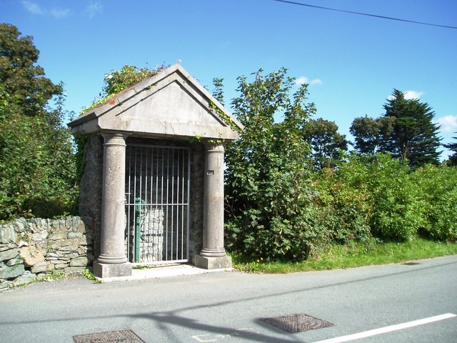
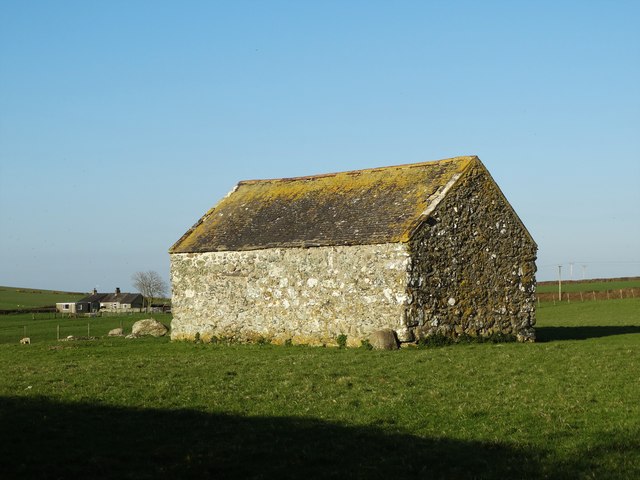
Bodedern Images
Images are sourced within 2km of 53.294631/-4.493754 or Grid Reference SH3380. Thanks to Geograph Open Source API. All images are credited.


![Road junction west of Bodedern The village sign for Bodedern is seen across the road [B5109], whilst a minor road heads left for Llanfigael.](https://s3.geograph.org.uk/geophotos/06/61/90/6619079_98678b98.jpg)

Bodedern is located at Grid Ref: SH3380 (Lat: 53.294631, Lng: -4.493754)
Unitary Authority: Isle of Anglesey
Police Authority: North Wales
What 3 Words
///cube.probe.perfumed. Near Bodedern, Isle of Anglesey
Nearby Locations
Related Wikis

Bodedern Athletic F.C.
CPD Boded F.C. is a Welsh football team based in the village of Bodedern, Anglesey. They play in the North Wales Coast West Football League which is the...

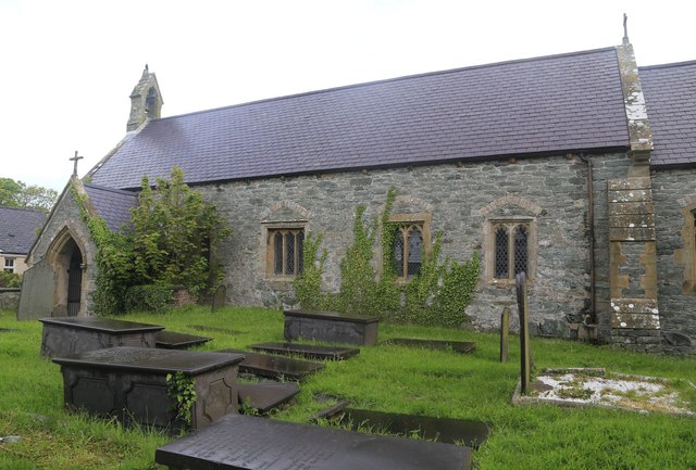
St Edern's Church, Bodedern
St Edern's Church, Bodedern (sometimes referred to as St Edeyrn's Church) is a medieval parish church in the village of Bodedern, in Anglesey, north Wales...

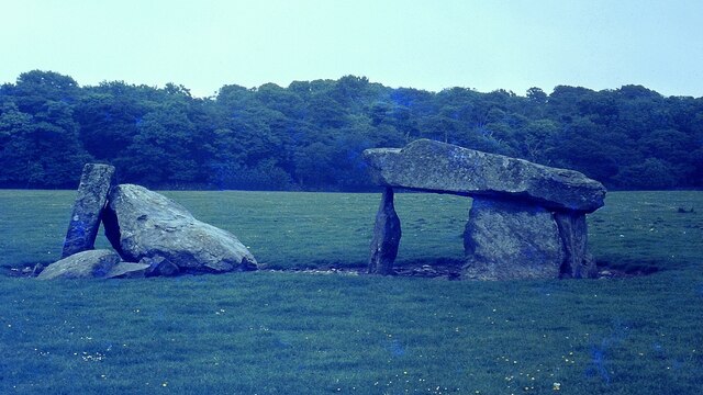
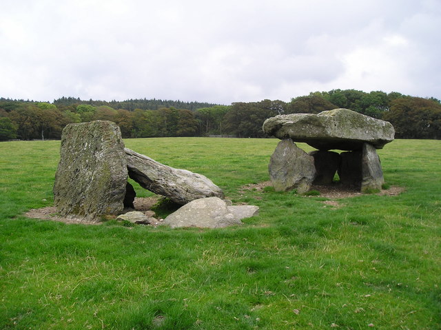
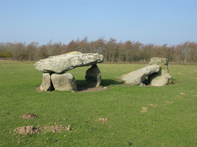
Presaddfed Burial Chamber
Presaddfed Burial Chamber is a listed monument in Anglesey, north Wales, comprising two Neolithic chamber tombs. It is a scheduled ancient monument and...
Presaddfed Hall
Presaddfed Hall is a small Grade II* listed country house that stands amongst woodlands to the northeast of Bodedern, Wales, at the southern tip of Llyn...
Related Videos
THE GARDEN| Short video| Travel
Another short video to test out the zhiyun smooth 4 of my beautiful garden in the progress of getting ready for summer ...

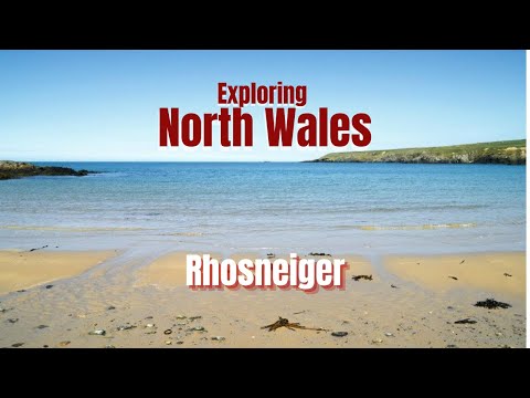
Anglesey : Rhosneiger
Episode 6 in a 6 part series of vlogs Kelly & Terry in Anglesey (Again) September 2021. Welcome to the channel, If your new to us ...
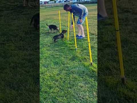
Campsite dog area. Our 4 month old Teckle Albert weaving! just for fun 🐾
The most amazing campsite Bryn ednyfed caravan site. perfect dogs agility area beside the camping sections and enclosed with a ...
Nearby Amenities
Located within 500m of 53.294631,-4.493754Have you been to Bodedern?
Leave your review of Bodedern below (or comments, questions and feedback).