Alway

Community in Monmouthshire

Wales

Alway

Road from Caerleon to Christchurch The B4236 New Road heads SE past the left turn for Lulworth Road.
Road from Caerleon to Christchurch Credit: Jaggery

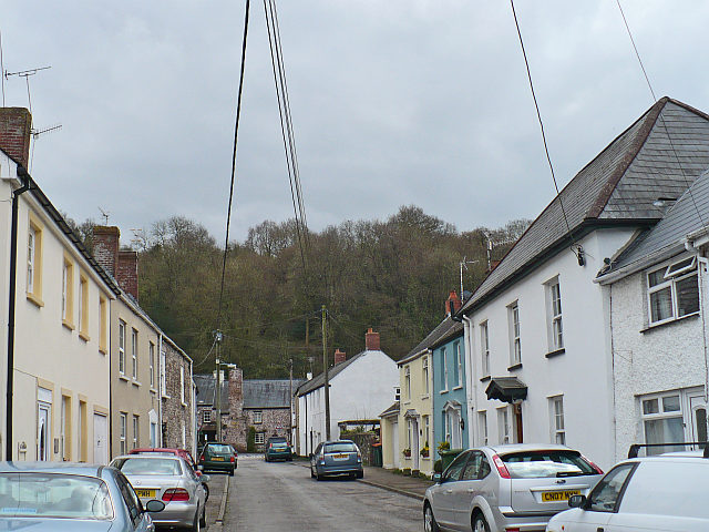
Alway is a small community located in the county of Monmouthshire, Wales. It is situated on the eastern bank of the River Usk, just south of the city of Newport. Alway is a residential area with a population of approximately 2,000 people.

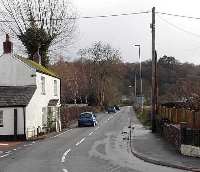
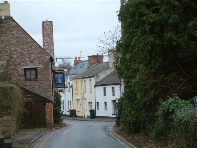
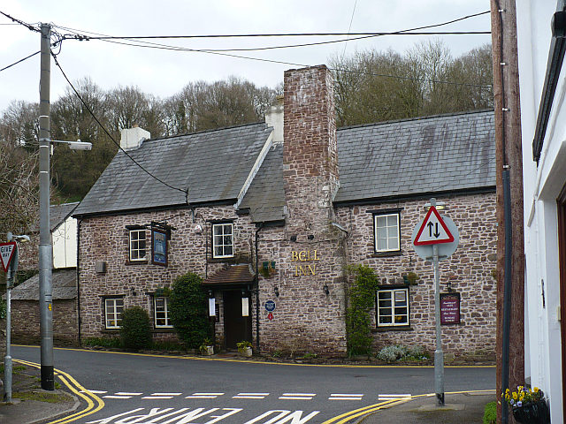
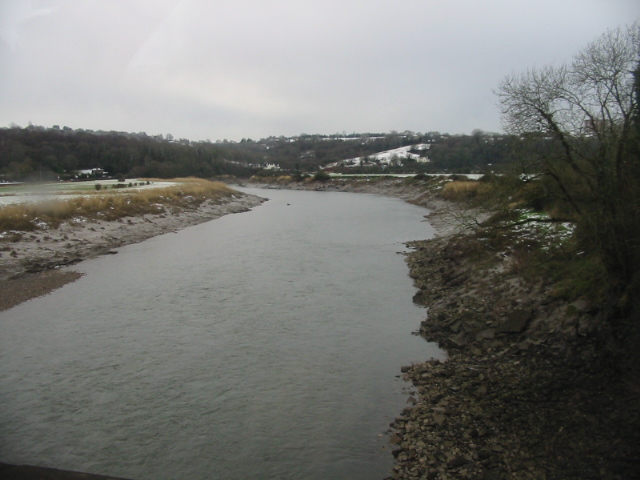
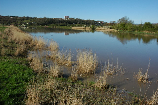
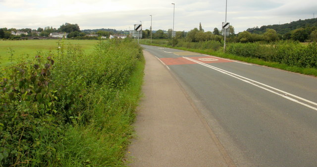
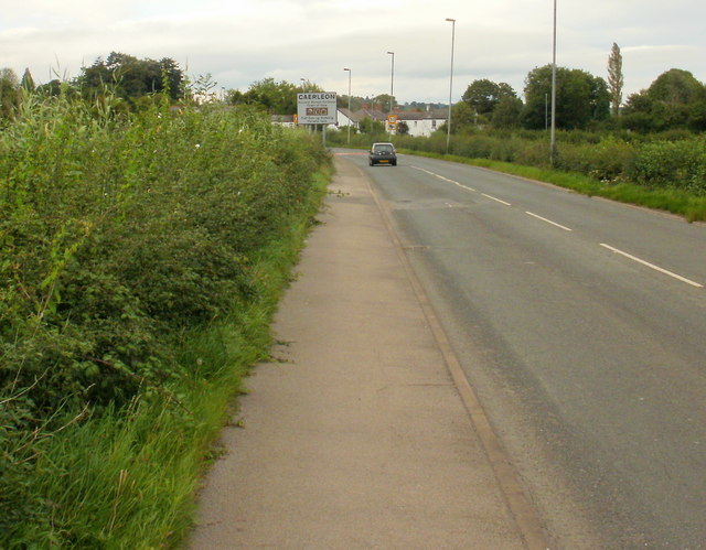
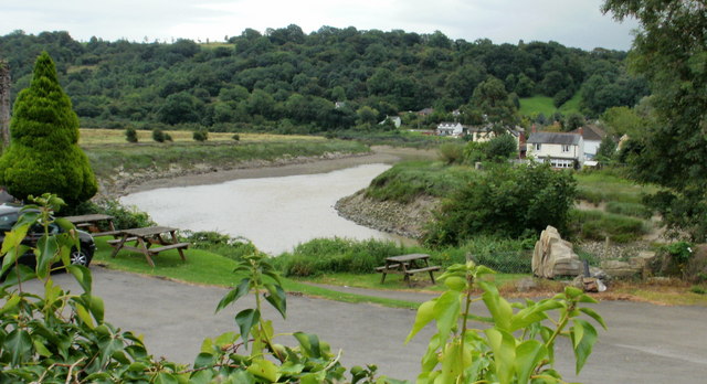
The community is known for its picturesque surroundings, with the river and the nearby countryside providing beautiful views. Alway is also conveniently located, with easy access to the A48 road, which connects to Newport and the wider region.

While Alway itself is primarily a residential area, it is in close proximity to a range of amenities and services. The nearby city of Newport offers a variety of shopping centers, restaurants, and entertainment options. Additionally, there are several primary and secondary schools in the area, making it an attractive location for families.

For those who enjoy outdoor activities, Alway is a great base for exploring the surrounding natural beauty. The River Usk is a popular spot for fishing, kayaking, and boating, while the nearby countryside offers opportunities for hiking and cycling.

Overall, Alway is a charming community that offers a peaceful and scenic lifestyle while still being well-connected to urban amenities. Its location on the banks of the River Usk and its proximity to Newport make it an attractive place to live for both families and individuals seeking a balanced lifestyle.

If you have any feedback on the listing, please let us know in the comments section below.
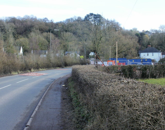
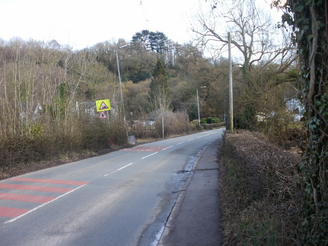
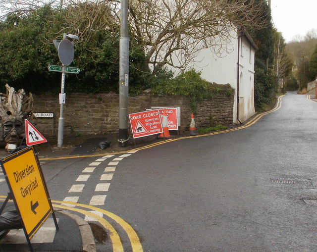
Alway Images

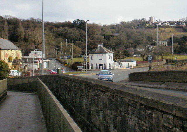
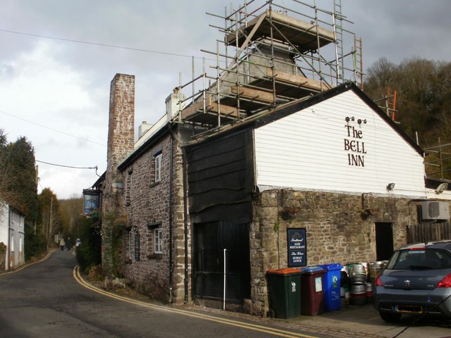
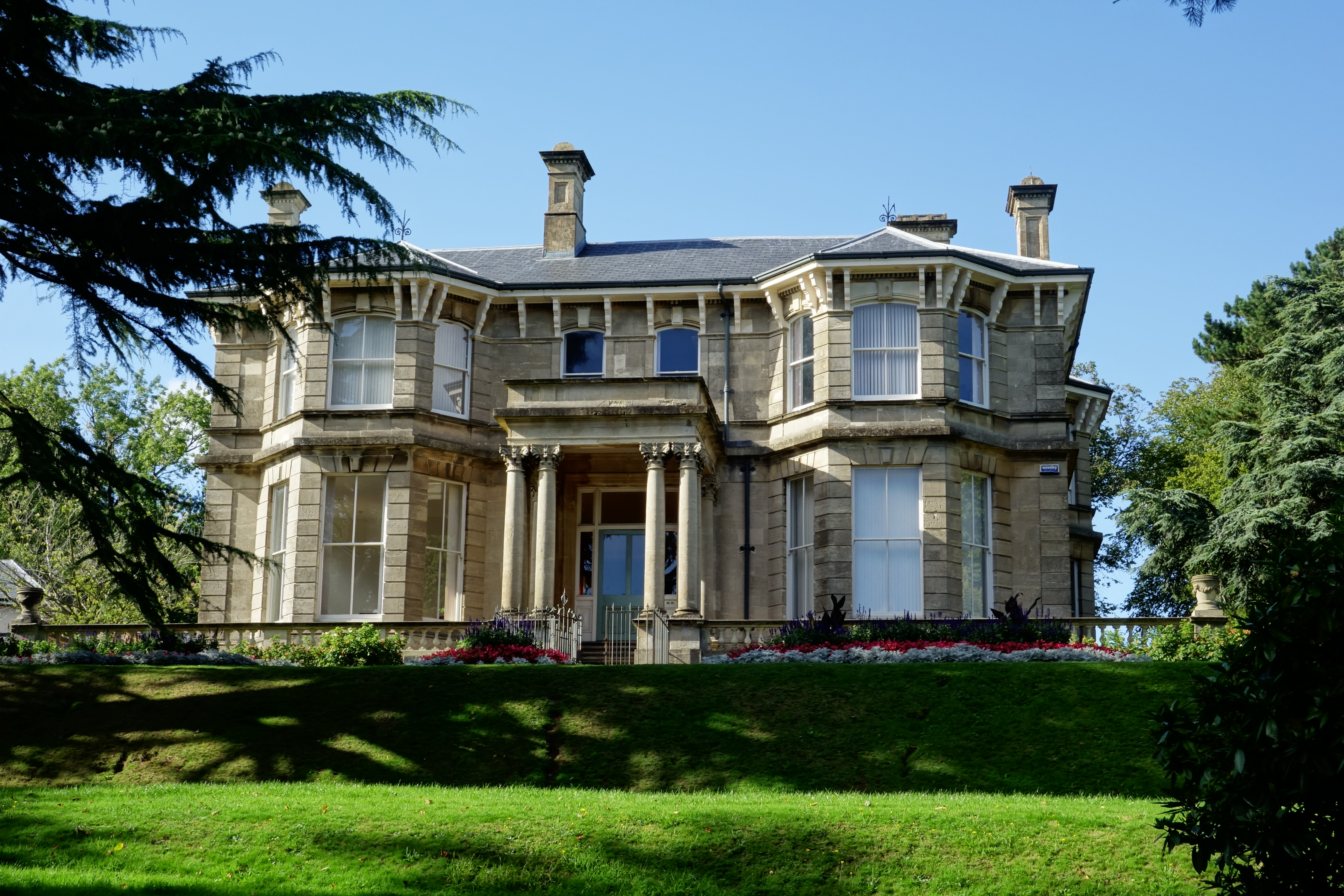
Images are sourced within 2km of 51.588572/-2.954023 or Grid Reference ST3488. Thanks to Geograph Open Source API. All images are credited.

Road from Caerleon to Christchurch The B4236 New Road heads SE past the left turn for Lulworth Road.
Road from Caerleon to Christchurch
The B4236 New Road heads SE past the left turn for Lulworth Road.
The Bell Inn, The Village
Celtic Warrior in The Village A tree stump has been carved into a huge scary face and placed on a street corner in "The Village" near Caerleon.
Celtic Warrior in The Village
A tree stump has been carved into a huge scary face and placed on a street corner in "The Village" near Caerleon.
Church of the Holy Spirit, The Village This Grade II listed church, which is partially hidden from the road, was built in 1814 as a Chapel for Tabernacle Congregationalists.  In 1898 it was taken over by the Anglican Church as a Chapel-of-ease (Holy Spirit) for the parish church of  Christchurch. It ceased being used in 2003 and is likely to be converted to residential accommodation.
Church of the Holy Spirit, The Village
This Grade II listed church, which is partially hidden from the road, was built in 1814 as a Chapel for Tabernacle Congregationalists. In 1898 it was taken over by the Anglican Church as a Chapel-of-ease (Holy Spirit) for the parish church of Christchurch. It ceased being used in 2003 and is likely to be converted to residential accommodation.
The Bell Inn An early 17th century coaching inn.
The Bell Inn
An early 17th century coaching inn.
Isca Road Looking towards <a href="https://www.geograph.org.uk/photo/747198">ST3490 : The Bell Inn</a>.
Isca Road
Looking towards ST3490 : The Bell Inn.
Toll House Dating from 1820.
The tower on the hill belongs to the parish church <a href="https://www.geograph.org.uk/photo/120779">ST3489 : Holy Trinity Church, Christchurch</a>.
Toll House
Dating from 1820. The tower on the hill belongs to the parish church ST3489 : Holy Trinity Church, Christchurch.
View SW along the River Usk On a grey and cold February afternoon
View SW along the River Usk
On a grey and cold February afternoon
The River Usk at Caerleon The River Usk at high tide viewed here from beside the road bridge at Caerleon.
The River Usk at Caerleon
The River Usk at high tide viewed here from beside the road bridge at Caerleon.
Caerleon Road nearing Caerleon On the final stretch of Caerleon Road, with the river bridge visible in the distance, the road passes through the Usk valley, with fields on each side of the road. The flatness of the terrain contrasts with the scene along the road a little further from Caerleon. <a title="https://www.geograph.org.uk/photo/1590669" href="https://www.geograph.org.uk/photo/1590669">Link</a>
Caerleon Road nearing Caerleon
On the final stretch of Caerleon Road, with the river bridge visible in the distance, the road passes through the Usk valley, with fields on each side of the road. The flatness of the terrain contrasts with the scene along the road a little further from Caerleon. Link
Approaching Caerleon from Newport Caerleon Road approaches the sign at the Caerleon border.
Approaching Caerleon from Newport
Caerleon Road approaches the sign at the Caerleon border.
Old Tollhouse, The Old Village, Caerleon On the edge of the Old Village, Caerleon, between the buildings, is New Road, which heads away from Caerleon Road towards Christchurch. On the right, the  octagonal building was built in 1820 to serve as a toll house for the turnpike road to Newport.
Old Tollhouse, The Old Village, Caerleon
On the edge of the Old Village, Caerleon, between the buildings, is New Road, which heads away from Caerleon Road towards Christchurch. On the right, the octagonal building was built in 1820 to serve as a toll house for the turnpike road to Newport.
River and woods view, Caerleon The view southeastwards to woods beyond the River Usk, from the edge of Hanbury Arms car park.
River and woods view, Caerleon
The view southeastwards to woods beyond the River Usk, from the edge of Hanbury Arms car park.
Mirror on sharp bend in New Road, Caerleon New Road heads away from Caerleon towards Christchurch. To help drivers see what's coming, a mirror above the hedge on the right is located adjacent to a sharp bend in the road.
Mirror on sharp bend in New Road, Caerleon
New Road heads away from Caerleon towards Christchurch. To help drivers see what's coming, a mirror above the hedge on the right is located adjacent to a sharp bend in the road.
New Road : steep hill ahead As it approaches Belmont Hill on the way to Christchurch, New Road passes a  sign warning of a 17% (or 1 in 6) incline ahead.
New Road : steep hill ahead
As it approaches Belmont Hill on the way to Christchurch, New Road passes a sign warning of a 17% (or 1 in 6) incline ahead.
Migratory toad crossing, Bulmore Road A temporary sign at the corner of Isca Road states that Bulmore Road is closed ahead from 6pm to 6am because the road passes across a migratory toad crossing.
A resident informed me that the actual toad crossing was about a mile further along Bulmore Road. The overnight road closure seems to be having the intended result : I saw no squashed toads (nor any other creature) on Bulmore Road.
Migratory toad crossing, Bulmore Road
A temporary sign at the corner of Isca Road states that Bulmore Road is closed ahead from 6pm to 6am because the road passes across a migratory toad crossing. A resident informed me that the actual toad crossing was about a mile further along Bulmore Road. The overnight road closure seems to be having the intended result : I saw no squashed toads (nor any other creature) on Bulmore Road.
The view from Caerleon Bridge Looking southeastwards from the footbridge alongside the stone road bridge, which was built in the early nineteenth century to replace a wooden bridge destroyed in a storm in 1779.
On the left edge of the photo is the Ship Inn. <a title="https://www.geograph.org.uk/photo/1591134" href="https://www.geograph.org.uk/photo/1591134">Link</a>
The white building in the centre is the former tollhouse <a title="https://www.geograph.org.uk/photo/1592186" href="https://www.geograph.org.uk/photo/1592186">Link</a> at the start of the former turnpike road to Newport.
On a hill at top right is the Holy Trinity Church, Christchurch. <a title="https://www.geograph.org.uk/photo/1726658" href="https://www.geograph.org.uk/photo/1726658">Link</a>
The view from Caerleon Bridge
Looking southeastwards from the footbridge alongside the stone road bridge, which was built in the early nineteenth century to replace a wooden bridge destroyed in a storm in 1779. On the left edge of the photo is the Ship Inn. Link The white building in the centre is the former tollhouse Link at the start of the former turnpike road to Newport. On a hill at top right is the Holy Trinity Church, Christchurch. Link
Bell Inn viewed from the south The Bell Inn, The Old Village, is undergoing structural work. This view was taken from the south, from Bulmore Road. Links to views from other angles :
From the north <a title="https://www.geograph.org.uk/photo/120778" href="https://www.geograph.org.uk/photo/120778">Link</a>
From the west <a title="https://www.geograph.org.uk/photo/747198" href="https://www.geograph.org.uk/photo/747198">Link</a>
Bell Inn viewed from the south
The Bell Inn, The Old Village, is undergoing structural work. This view was taken from the south, from Bulmore Road. Links to views from other angles : From the north Link From the west Link
Show me another place!

Alway is located at Grid Ref: ST3488 (Lat: 51.588572, Lng: -2.954023)

Unitary Authority: Newport

Police Authority: Gwent

What 3 Words

///normal.epic.brush. Near Caerleon, Newport

Related Wikis

Alway

Alway is an electoral district (ward) and coterminous community (formerly civil parish) of the city of Newport. The ward is bounded by the Great Western...
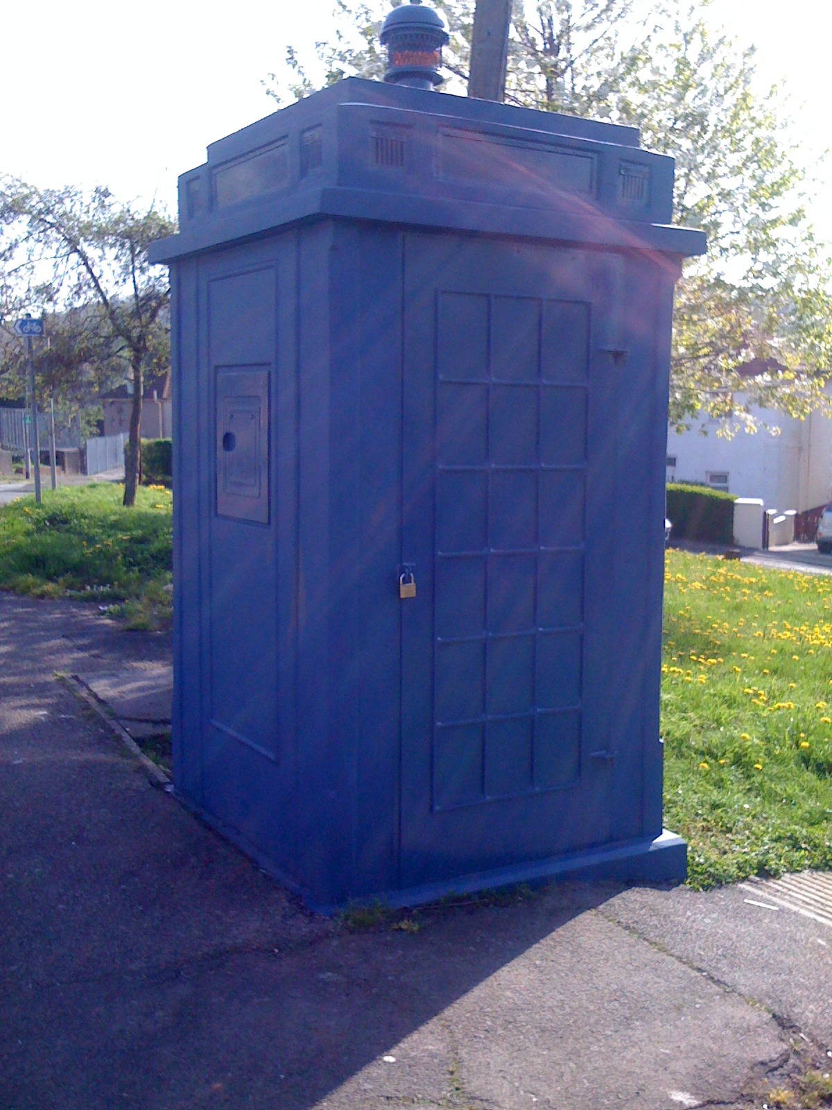
Somerton TARDIS

The Somerton TARDIS is a Police box on Acacia Avenue beside the B4237 road (Chepstow Road) in the Somerton area of Newport, South Wales. This police box...

Beechwood Park, Newport

Beechwood Park is a thirty-acre public park situated in the eastern Beechwood area of the city of Newport, South Wales. The park is listed on the Cadw/ICOMOS...

Somerton, Newport

Somerton is an area in the south-east of Newport. The northern half of the area is located in the Alway ward with the southern half in the Lliswerry ward...

Somerton railway station, Newport

Somerton railway station is a proposed station to serve the Somerton suburb of the city of Newport, Wales. Following the decision by First Minister Mark...

Treberth

Treberth is a suburb within the electoral ward of Ringland, Newport. Treberth used to be a Post War Development in Ringland, Newport until the prefabs...

Bishpool

Bishpool is a suburb within the electoral ward of Ringland, Newport. It lies to the western side of Ringland. Its facilities include Bishpool Methodist...

Somerton Park

Somerton Park was a football, greyhound racing and speedway stadium in Newport, South Wales. == Football == In April 1912, Newport County had been accepted...

Nearby Amenities

Located within 500m of 51.588572,-2.954023
Created By: GPSBabel-1.3.6
Lat/Long: 51.586176/-2.955077
Created By: GPSBabel-1.3.6
Lat/Long: 51.585918/-2.954799
Created By: GPSBabel-1.3.6
Lat/Long: 51.585736/-2.954462
Created By: GPSBabel-1.3.6
Lat/Long: 51.588744/-2.960541
Turning Circle
Lat/Long: 51.589053/-2.959879
Created By: GPSBabel-1.3.6
Lat/Long: 51.58888/-2.960262
Created By: GPSBabel-1.3.6
Lat/Long: 51.590045/-2.957857
Created By: GPSBabel-1.3.6
Lat/Long: 51.591345/-2.956119
Created By: GPSBabel-1.3.6
Lat/Long: 51.592113/-2.956966
Created By: GPSBabel-1.3.6
Lat/Long: 51.591884/-2.956915
Turning Circle
Lat/Long: 51.5913701/-2.9527069
Turning Circle
Lat/Long: 51.5876883/-2.9588839
Turning Circle
Lat/Long: 51.5905017/-2.9495522
Turning Circle
Lat/Long: 51.5917138/-2.9518954
Turning Circle
Lat/Long: 51.5921435/-2.9525099
Turning Circle
Lat/Long: 51.5859384/-2.9502846
Turning Circle
Lat/Long: 51.5891692/-2.9493525
Ladyhill
Is In City: Newport
Place: suburb
Lat/Long: 51.5889277/-2.9541073
Lawrence Hill
Is In City: Newport
Place: suburb
Population: 5794
Population Date: 2021-03-21
Source Population: https://www.nomisweb.co.uk
Wikidata: Q107032604
Lat/Long: 51.5919912/-2.955
Traffic Signals
Lat/Long: 51.5883941/-2.9595536
Traffic Signals
Lat/Long: 51.5913091/-2.9510385
Turning Circle
Lat/Long: 51.5903084/-2.9551835
Addr City: Newport
Addr Housenumber: 1; 2; 5; 6
Addr Postcode: NP19 8AX
Addr Street: Glanmor Court
Entrance: main
Lat/Long: 51.5905066/-2.958648
Addr City: Newport
Addr Housenumber: 3
Addr Postcode: NP19 8AX
Addr Street: Glanmor Court
Entrance: main
Lat/Long: 51.5906218/-2.9587504
Addr City: Newport
Addr Housenumber: 4; 7; 8
Addr Postcode: NP19 8AX
Addr Street: Glanmor Court
Entrance: main
Lat/Long: 51.5906116/-2.9584089
Fast Food
Dragon Palace
Addr City: Newport
Addr Housenumber: 472
Addr Postcode: NP19 9DG
Addr Street: Chepstow Road
Contact Facebook: https://www.facebook.com/DragonPalaceNewport/
Cuisine: chinese
Drive Through: no
Opening Hours: Mo 17:30-22:30; Tu off; We-Su 17:30-22:30
Phone: +44 1633 273 034
Lat/Long: 51.5885749/-2.9587702
Turning Circle
Lat/Long: 51.5880929/-2.9555121
Social Facility
Alway Contact Centre
Addr City: Newport
Addr Postcode: NP19 9SY
Addr Street: Henry Wood Walk
Alt Name: Alway Family Contact Centre
Phone: +44 1633 290 326
Lat/Long: 51.5866016/-2.950178
Crossing
Crossing: marked
Crossing Island: no
Tactile Paving: yes
Lat/Long: 51.5883772/-2.9592601
Telephone
Booth: KX100
Covered: booth
Mapillary: 2531975700281484
Survey Date: 2019-07-07
Lat/Long: 51.5883156/-2.9593846
Waste Basket
Lat/Long: 51.5882974/-2.9594407
Bench
Lat/Long: 51.5882821/-2.95947
Communication Mobile Phone: yes
Height: 12.5
Man Made: mast
Tower Construction: monopole
Tower Type: communication
Lat/Long: 51.5884688/-2.9589988
Communication Mobile Phone: yes
Man Made: mast
Tower Type: communication
Lat/Long: 51.589655/-2.9485055
Communication Mobile Phone: yes
Man Made: mast
Tower Type: communication
Lat/Long: 51.5897402/-2.9481726
Bus Stop
Lawrence Hill
Bus: yes
Name Cy: Bryn Lawrence
Network: Newport Bus
Operator: Newport Bus
Public Transport: platform
Shelter: yes
Lat/Long: 51.5881354/-2.960848
Community Centre
Somerton RASCAL Hope Centre
Access: yes
Addr City: Newport
Addr Housenumber: 9
Addr Postcode: NP19 9AX
Addr Street: Poplar Road
Addr Suburb: Somerton
Alt Name: RASCAL Hope Centre
Community Centre: warm_hub
Description: Warm hub
Internet Access: yes
Internet Access Fee: no
Operator Cy: Cyngor Dinas Casnewydd
Operator En: Newport City Council
Phone: +44 1633 281 669
Lat/Long: 51.587468/-2.9579991
Bus Stop
Acacia Avenue
Bus: yes
Name Cy: Rhodfa Acacia
Naptan AtcoCode: 5310AWB35147
Naptan NaptanCode: nwpdwdm
Network: Newport Bus
Operator: Newport Bus
Public Transport: platform
Shelter: yes
Lat/Long: 51.5885626/-2.959304
Crossing
Crossing: marked
Crossing Island: yes
Tactile Paving: yes
Lat/Long: 51.5883655/-2.9596642
Direction: SSE
Generator Method: photovoltaic
Generator Output Electricity: yes
Generator Solar Modules: 17
Generator Source: solar
Generator Type: solar_photovoltaic_panel
Location: roof
Power: generator
Lat/Long: 51.5859704/-2.9561378
Direction: SSE
Generator Method: photovoltaic
Generator Output Electricity: yes
Generator Solar Modules: 15
Generator Source: solar
Generator Type: solar_photovoltaic_panel
Location: roof
Power: generator
Lat/Long: 51.5856557/-2.9563155
Direction: SSE
Generator Method: photovoltaic
Generator Output Electricity: yes
Generator Solar Modules: 15
Generator Source: solar
Generator Type: solar_photovoltaic_panel
Location: roof
Power: generator
Lat/Long: 51.5856736/-2.9562408
Direction: SSE
Generator Method: photovoltaic
Generator Output Electricity: yes
Generator Solar Modules: 17
Generator Source: solar
Generator Type: solar_photovoltaic_panel
Location: roof
Power: generator
Lat/Long: 51.5852708/-2.9555256
Direction: SE
Generator Method: photovoltaic
Generator Output Electricity: yes
Generator Solar Modules: 12
Generator Source: solar
Generator Type: solar_photovoltaic_panel
Location: roof
Power: generator
Lat/Long: 51.5864988/-2.9537653
Direction: SE
Generator Method: photovoltaic
Generator Output Electricity: yes
Generator Solar Modules: 12
Generator Source: solar
Generator Type: solar_photovoltaic_panel
Location: roof
Power: generator
Lat/Long: 51.5868939/-2.9543996
Direction: SE
Generator Method: photovoltaic
Generator Output Electricity: yes
Generator Solar Modules: 10
Generator Source: solar
Generator Type: solar_photovoltaic_panel
Location: roof
Power: generator
Lat/Long: 51.5874494/-2.9542879
Direction: SE
Generator Method: photovoltaic
Generator Output Electricity: yes
Generator Solar Modules: 16
Generator Source: solar
Generator Type: solar_photovoltaic_panel
Location: roof
Power: generator
Lat/Long: 51.5880931/-2.9544747
Direction: SE
Generator Method: photovoltaic
Generator Output Electricity: yes
Generator Solar Modules: 15
Generator Source: solar
Generator Type: solar_photovoltaic_panel
Location: roof
Power: generator
Lat/Long: 51.5889264/-2.953
Direction: 145
Generator Method: photovoltaic
Generator Output Electricity: yes
Generator Solar Modules: 6
Generator Source: solar
Generator Type: solar_photovoltaic_panel
Location: roof
Power: generator
Lat/Long: 51.5906323/-2.9490666
Direction: 145
Generator Method: photovoltaic
Generator Output Electricity: yes
Generator Solar Modules: 14
Generator Source: solar
Generator Type: solar_photovoltaic_panel
Location: roof
Power: generator
Lat/Long: 51.5906582/-2.9489965
Bus Stop
East Grove Road (NW-bound)
Bus: yes
Name Cy: Ffordd East Grove (tua'r gogledd-orllewin)
Network: Newport Bus
Operator: Newport Bus
Public Transport: platform
Shelter: yes
Lat/Long: 51.5882883/-2.9565518
Bus Stop
East Grove Road (SE-bound)
Bus: yes
Name Cy: Ffordd East Grove (tua'r de-ddwyrain)
Network: Newport Bus
Operator: Newport Bus
Public Transport: platform
Shelter: yes
Lat/Long: 51.5876601/-2.95601
Bus Stop
Farmwood Close (E-bound)
Bus: yes
Name Cy: Clos Farmwood (tua'r dwyrain)
Naptan AtcoCode: 5310AWB35099
Naptan NaptanCode: nwpatwd
Network: Newport Bus
Operator: Newport Bus
Public Transport: platform
Shelter: yes
Lat/Long: 51.5900348/-2.9541432
Bus Stop
Farmwood Close (W-bound)
Bus: yes
Name Cy: Clos Farmwood (tua'r gorllewin)
Naptan AtcoCode: 5310AWB35103
Naptan NaptanCode: nwpatwg
Network: Newport Bus
Operator: Newport Bus
Public Transport: platform
Shelter: yes
Lat/Long: 51.5897415/-2.9545562
Bus Stop
Glanwern Grove (E-bound)
Bus: yes
Name Cy: Llwyn Glanwern (tua'r dwyrain)
Naptan AtcoCode: 5310AWB35111
Naptan NaptanCode: nwpatwt
Network: Newport Bus
Operator: Newport Bus
Public Transport: platform
Shelter: yes
Lat/Long: 51.5915462/-2.9505839
Bus Stop
Glanwern Grove (W-bound)
Bus: yes
Name Cy: Llwyn Glanwern (tua'r gorllewin)
Naptan AtcoCode: 5310AWB35107
Naptan NaptanCode: nwpatwp
Network: Newport Bus
Operator: Newport Bus
Public Transport: platform
Shelter: yes
Lat/Long: 51.5911429/-2.951292
Direction: 145
Generator Method: photovoltaic
Generator Output Electricity: yes
Generator Solar Modules: 18
Generator Source: solar
Generator Type: solar_photovoltaic_panel
Location: roof
Power: generator
Lat/Long: 51.5914534/-2.9529221
Direction: 145
Generator Method: photovoltaic
Generator Output Electricity: yes
Generator Solar Modules: 17
Generator Source: solar
Generator Type: solar_photovoltaic_panel
Location: roof
Power: generator
Lat/Long: 51.5912771/-2.9524221
Direction: 145
Generator Method: photovoltaic
Generator Output Electricity: yes
Generator Solar Modules: 16
Generator Source: solar
Generator Type: solar_photovoltaic_panel
Location: roof
Power: generator
Lat/Long: 51.5914873/-2.9519697
Direction: 145
Generator Method: photovoltaic
Generator Output Electricity: yes
Generator Solar Modules: 12
Generator Source: solar
Generator Type: solar_photovoltaic_panel
Location: roof
Power: generator
Lat/Long: 51.5915156/-2.951887
Direction: 145
Generator Method: photovoltaic
Generator Output Electricity: yes
Generator Solar Modules: 15
Generator Source: solar
Generator Type: solar_photovoltaic_panel
Location: roof
Power: generator
Lat/Long: 51.5911908/-2.9526044
Direction: 145
Generator Method: photovoltaic
Generator Output Electricity: yes
Generator Solar Modules: 12
Generator Source: solar
Generator Type: solar_photovoltaic_panel
Location: roof
Power: generator
Lat/Long: 51.5910351/-2.9530347
Direction: 145
Generator Method: photovoltaic
Generator Output Electricity: yes
Generator Solar Modules: 12
Generator Source: solar
Generator Type: solar_photovoltaic_panel
Location: roof
Power: generator
Lat/Long: 51.5911488/-2.9535648
Direction: 145
Generator Method: photovoltaic
Generator Output Electricity: yes
Generator Solar Modules: 15
Generator Source: solar
Generator Type: solar_photovoltaic_panel
Location: roof
Power: generator
Lat/Long: 51.590876/-2.9534276
Direction: 145
Generator Method: photovoltaic
Generator Output Electricity: yes
Generator Solar Modules: 18
Generator Source: solar
Generator Type: solar_photovoltaic_panel
Location: roof
Power: generator
Lat/Long: 51.5907622/-2.9537103
Direction: 145
Generator Method: photovoltaic
Generator Output Electricity: yes
Generator Solar Modules: 12
Generator Source: solar
Generator Type: solar_photovoltaic_panel
Location: roof
Power: generator
Lat/Long: 51.59068/-2.9539137
Direction: 145
Generator Method: photovoltaic
Generator Output Electricity: yes
Generator Solar Modules: 18
Generator Source: solar
Generator Type: solar_photovoltaic_panel
Location: roof
Power: generator
Lat/Long: 51.5907468/-2.9545751
Direction: 145
Generator Method: photovoltaic
Generator Output Electricity: yes
Generator Solar Modules: 18
Generator Source: solar
Generator Type: solar_photovoltaic_panel
Location: roof
Power: generator
Lat/Long: 51.5903425/-2.9555277
Direction: 145
Generator Method: photovoltaic
Generator Output Electricity: yes
Generator Solar Modules: 12
Generator Source: solar
Generator Type: solar_photovoltaic_panel
Location: roof
Power: generator
Lat/Long: 51.5901771/-2.9550127
Direction: 165
Generator Method: photovoltaic
Generator Output Electricity: yes
Generator Solar Modules: 18
Generator Source: solar
Generator Type: solar_photovoltaic_panel
Location: roof
Power: generator
Lat/Long: 51.5897024/-2.9568364
Direction: 165
Generator Method: photovoltaic
Generator Output Electricity: yes
Generator Solar Modules: 10
Generator Source: solar
Generator Type: solar_photovoltaic_panel
Location: roof
Power: generator
Lat/Long: 51.5899131/-2.9569483
Direction: 170
Generator Method: photovoltaic
Generator Output Electricity: yes
Generator Solar Modules: 10
Generator Source: solar
Generator Type: solar_photovoltaic_panel
Location: roof
Power: generator
Lat/Long: 51.5894217/-2.9584302
Bus Stop
Garage
Bus: yes
Name Cy: Garej
Network: Newport Bus
Operator: Newport Bus
Public Transport: platform
Shelter: yes
Lat/Long: 51.5918923/-2.9495537
Entrance: main
Lat/Long: 51.5858468/-2.9524691
Bench
Lat/Long: 51.5864097/-2.9529652
Bench
Lat/Long: 51.5864168/-2.952895
Bench
Lat/Long: 51.5864229/-2.9528346
Direction: SE
Generator Method: photovoltaic
Generator Output Electricity: yes
Generator Solar Modules: 6
Generator Source: solar
Generator Type: solar_photovoltaic_panel
Location: roof
Power: generator
Lat/Long: 51.5874735/-2.9543198
Direction: 185
Generator Method: photovoltaic
Generator Output Electricity: yes
Generator Solar Modules: 4
Generator Source: solar
Generator Type: solar_photovoltaic_panel
Location: roof
Power: generator
Lat/Long: 51.5851491/-2.9499827
Direction: 185
Generator Method: photovoltaic
Generator Output Electricity: yes
Generator Solar Modules: 4
Generator Source: solar
Generator Type: solar_photovoltaic_panel
Location: roof
Power: generator
Lat/Long: 51.5851391/-2.9498284
Direction: 165
Generator Method: photovoltaic
Generator Output Electricity: yes
Generator Solar Modules: 17
Generator Source: solar
Generator Type: solar_photovoltaic_panel
Location: roof
Power: generator
Lat/Long: 51.588168/-2.9501148
Direction: SE
Generator Method: photovoltaic
Generator Output Electricity: yes
Generator Solar Modules: 13
Generator Source: solar
Generator Type: solar_photovoltaic_panel
Location: roof
Power: generator
Lat/Long: 51.5869181/-2.9533052
Direction: SE
Generator Method: photovoltaic
Generator Output Electricity: yes
Generator Solar Modules: 17
Generator Source: solar
Generator Type: solar_photovoltaic_panel
Location: roof
Power: generator
Lat/Long: 51.5874964/-2.9536405
Direction: SE
Generator Method: photovoltaic
Generator Output Electricity: yes
Generator Solar Modules: 12
Generator Source: solar
Generator Type: solar_photovoltaic_panel
Location: roof
Power: generator
Lat/Long: 51.5874097/-2.953729
Direction: SE
Generator Method: photovoltaic
Generator Output Electricity: yes
Generator Solar Modules: 12
Generator Source: solar
Generator Type: solar_photovoltaic_panel
Location: roof
Power: generator
Lat/Long: 51.5871248/-2.9530773
Direction: SE
Generator Method: photovoltaic
Generator Output Electricity: yes
Generator Solar Modules: 10
Generator Source: solar
Generator Type: solar_photovoltaic_panel
Location: roof
Power: generator
Lat/Long: 51.5883446/-2.9525355
Direction: S
Generator Method: photovoltaic
Generator Output Electricity: yes
Generator Solar Modules: 17
Generator Source: solar
Generator Type: solar_photovoltaic_panel
Location: roof
Power: generator
Lat/Long: 51.5887796/-2.9508027
Direction: 165
Generator Method: photovoltaic
Generator Output Electricity: yes
Generator Solar Modules: 16
Generator Source: solar
Generator Type: solar_photovoltaic_panel
Location: roof
Power: generator
Lat/Long: 51.5872439/-2.9482667
Direction: 165
Generator Method: photovoltaic
Generator Output Electricity: yes
Generator Solar Modules: 16
Generator Source: solar
Generator Type: solar_photovoltaic_panel
Location: roof
Power: generator
Lat/Long: 51.5869773/-2.9495689
Direction: SE
Generator Method: photovoltaic
Generator Output Electricity: yes
Generator Solar Modules: 17
Generator Source: solar
Generator Type: solar_photovoltaic_panel
Location: roof
Power: generator
Lat/Long: 51.5862665/-2.9500812
Direction: SE
Generator Method: photovoltaic
Generator Output Electricity: yes
Generator Solar Modules: 15
Generator Source: solar
Generator Type: solar_photovoltaic_panel
Location: roof
Power: generator
Lat/Long: 51.5861065/-2.9497647
Direction: 165
Generator Method: photovoltaic
Generator Output Electricity: yes
Generator Solar Modules: 15
Generator Source: solar
Generator Type: solar_photovoltaic_panel
Location: roof
Power: generator
Lat/Long: 51.5867973/-2.9486771
Direction: 190
Generator Method: photovoltaic
Generator Output Electricity: yes
Generator Solar Modules: 16
Generator Source: solar
Generator Type: solar_photovoltaic_panel
Location: roof
Power: generator
Lat/Long: 51.5848182/-2.9503012
Direction: 185
Generator Method: photovoltaic
Generator Output Electricity: yes
Generator Solar Modules: 8
Generator Source: solar
Generator Type: solar_photovoltaic_panel
Location: roof
Power: generator
Lat/Long: 51.5851459/-2.9499334
Direction: 185
Generator Method: photovoltaic
Generator Output Electricity: yes
Generator Solar Modules: 8
Generator Source: solar
Generator Type: solar_photovoltaic_panel
Location: roof
Power: generator
Lat/Long: 51.5851422/-2.9498766
Direction: 145
Generator Method: photovoltaic
Generator Output Electricity: yes
Generator Solar Modules: 4
Generator Source: solar
Generator Type: solar_photovoltaic_panel
Location: roof
Power: generator
Lat/Long: 51.590625/-2.9491032
Direction: 145
Generator Method: photovoltaic
Generator Output Electricity: yes
Generator Solar Modules: 9
Generator Source: solar
Generator Type: solar_photovoltaic_panel
Location: roof
Power: generator
Lat/Long: 51.5890175/-2.9563784
Direction: 145
Generator Method: photovoltaic
Generator Output Electricity: yes
Generator Solar Modules: 12
Generator Source: solar
Generator Type: solar_photovoltaic_panel
Location: roof
Power: generator
Lat/Long: 51.590506/-2.9543057
Direction: 145
Generator Method: photovoltaic
Generator Output Electricity: yes
Generator Solar Modules: 12
Generator Source: solar
Generator Type: solar_photovoltaic_panel
Location: roof
Power: generator
Lat/Long: 51.590846/-2.9543567
Direction: 145
Generator Method: photovoltaic
Generator Output Electricity: yes
Generator Solar Modules: 16
Generator Source: solar
Generator Type: solar_photovoltaic_panel
Location: roof
Power: generator
Lat/Long: 51.5888296/-2.958954
Direction: 215
Generator Method: photovoltaic
Generator Output Electricity: yes
Generator Solar Modules: 17
Generator Source: solar
Generator Type: solar_photovoltaic_panel
Location: roof
Power: generator
Lat/Long: 51.5927623/-2.951763
Always Amateur Boxing Club
Access: customers
Addr City: Newport
Addr Housenumber: 183
Addr Postcode: NP19 9RW
Addr Street: Lliswerry Road
Alt Name: Always Boxing Club
Club: sport
Contact Facebook: https://www.facebook.com/groups/513836895347636/
Opening Hours: Mo 18:00-19:15; Tu 17:00-18:15; We 18:00-19:15; Th off; Fr 18:00-19:15; Sa Off; Su Off
Sport: boxing
Lat/Long: 51.5857229/-2.9497522
The data included in this document is from www.openstreetmap.org. The data is made available under ODbL.

Have you been to Alway?

Leave your review of Alway below (or comments, questions and feedback).