Abergavenny

Community in Monmouthshire

Wales

Abergavenny

Steep road down from the moorland
Steep road down from the moorland Credit: Rob Purvis

Abergavenny is a charming community located in the county of Monmouthshire, Wales. Situated in the southeastern part of the country, it lies at the border between England and Wales, making it an ideal destination for exploring both regions. With a population of around 13,000 people, Abergavenny offers a peaceful and welcoming atmosphere to residents and visitors alike.

The town is renowned for its picturesque setting, nestled within the beautiful Usk Valley and surrounded by the scenic Brecon Beacons National Park. This natural backdrop provides a plethora of outdoor activities for nature enthusiasts, including hiking, cycling, and fishing. The town is also famous for hosting the annual Abergavenny Food Festival, which attracts thousands of visitors from across the UK to celebrate the region's culinary delights.

Abergavenny boasts a rich history that is evident in its architecture and landmarks. The imposing Abergavenny Castle, dating back to the 11th century, stands as a testament to the town's medieval past. The town's historic Market Hall, built in 1837, is a bustling hub for local traders and a popular spot for shoppers.

The community is well-served with amenities, including a range of independent shops, cafes, and restaurants that offer a variety of cuisines. Abergavenny also has excellent transport links, with regular train services connecting it to Cardiff, Newport, and Hereford.

Overall, Abergavenny's blend of natural beauty, rich history, and vibrant community make it a delightful place to visit or call home.

If you have any feedback on the listing, please let us know in the comments section below.
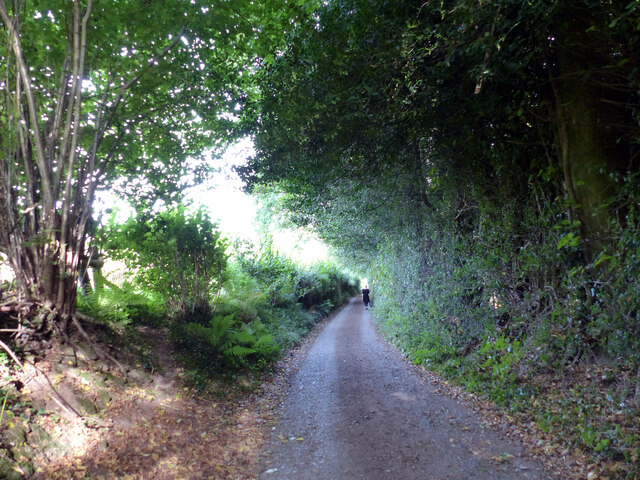
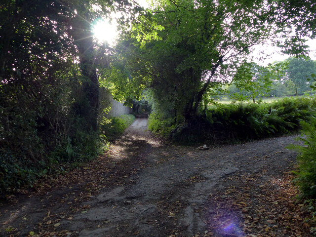
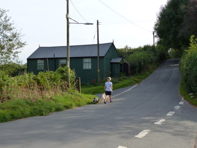
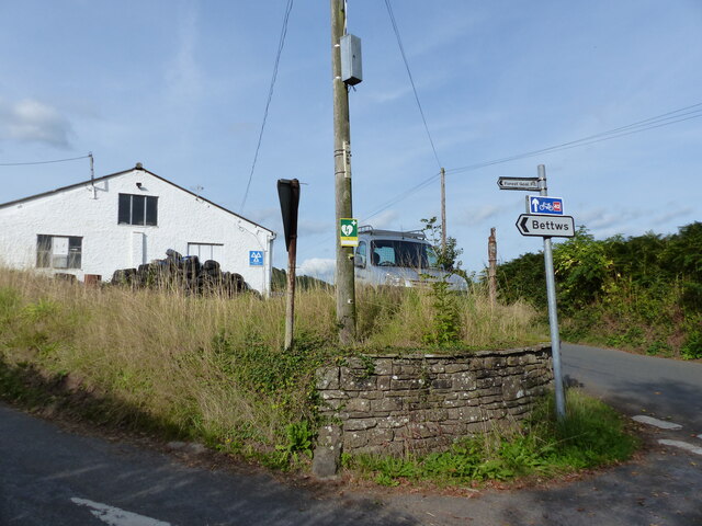
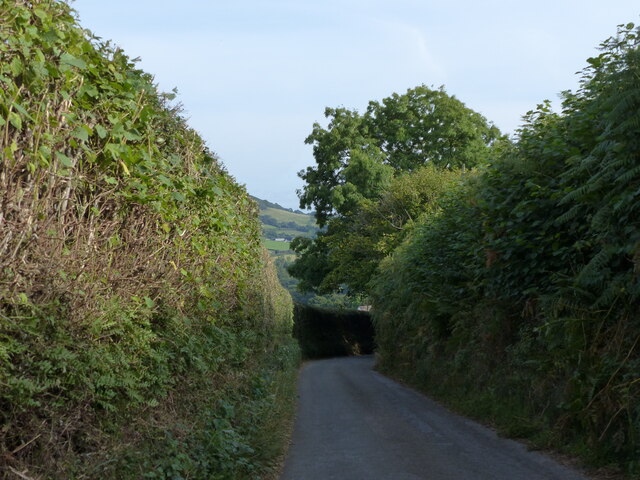
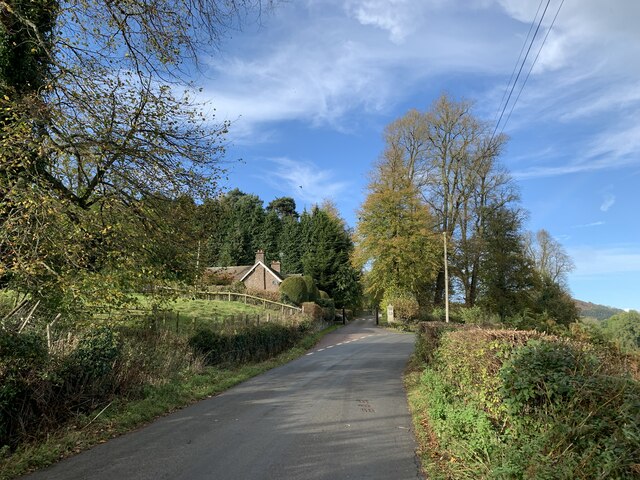
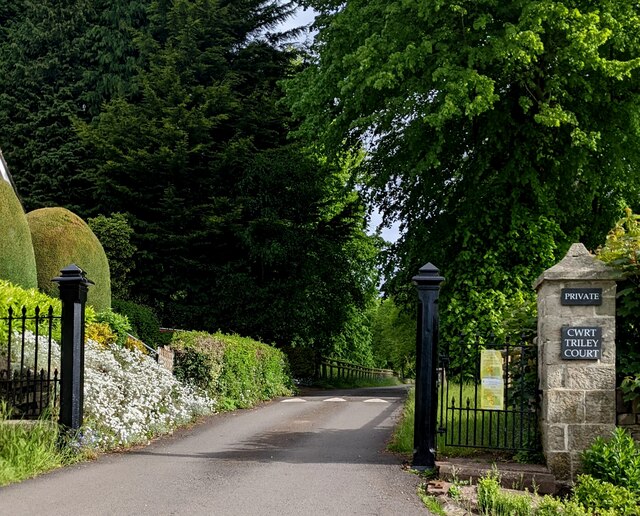
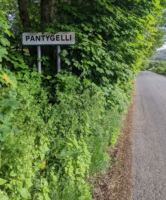
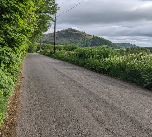
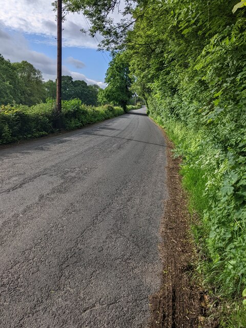
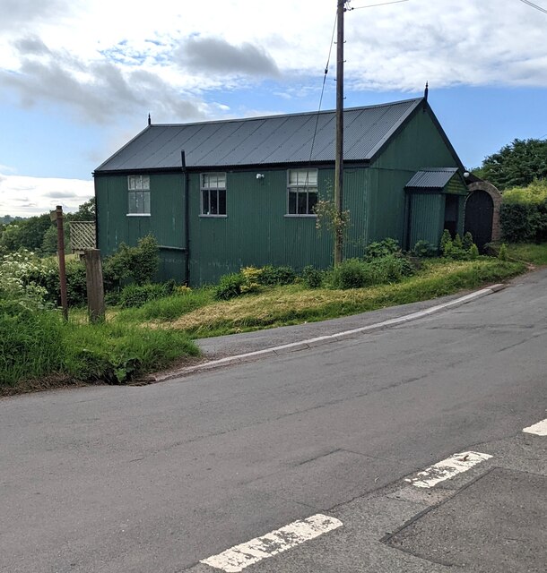
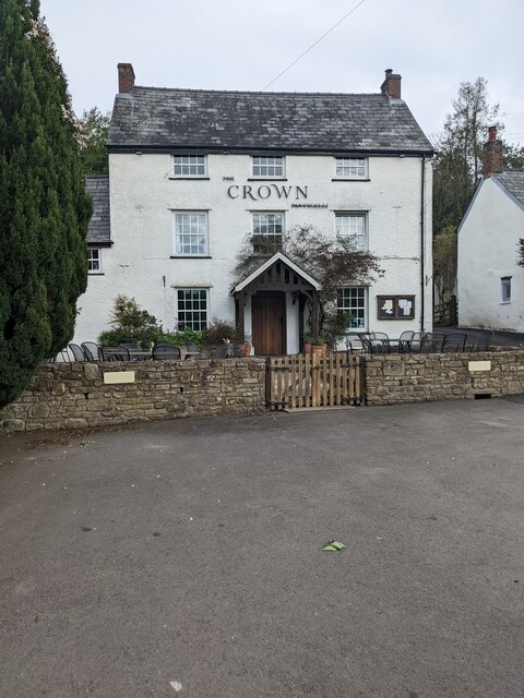
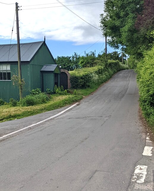
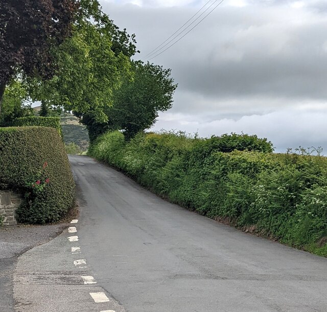
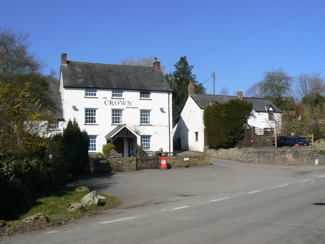
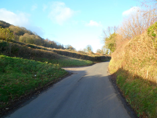
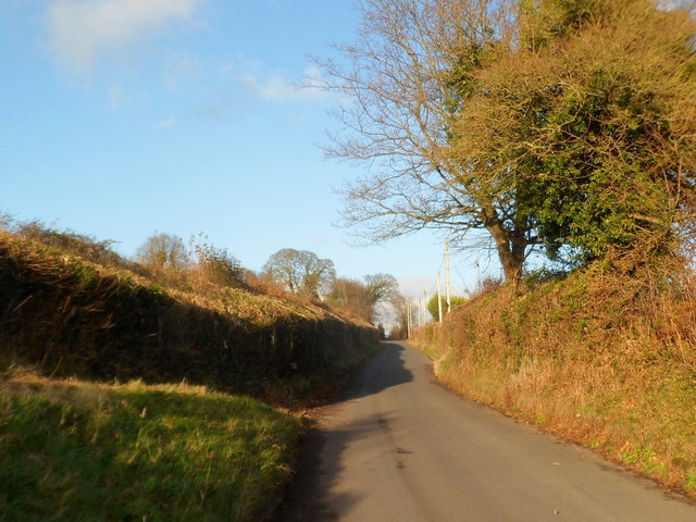
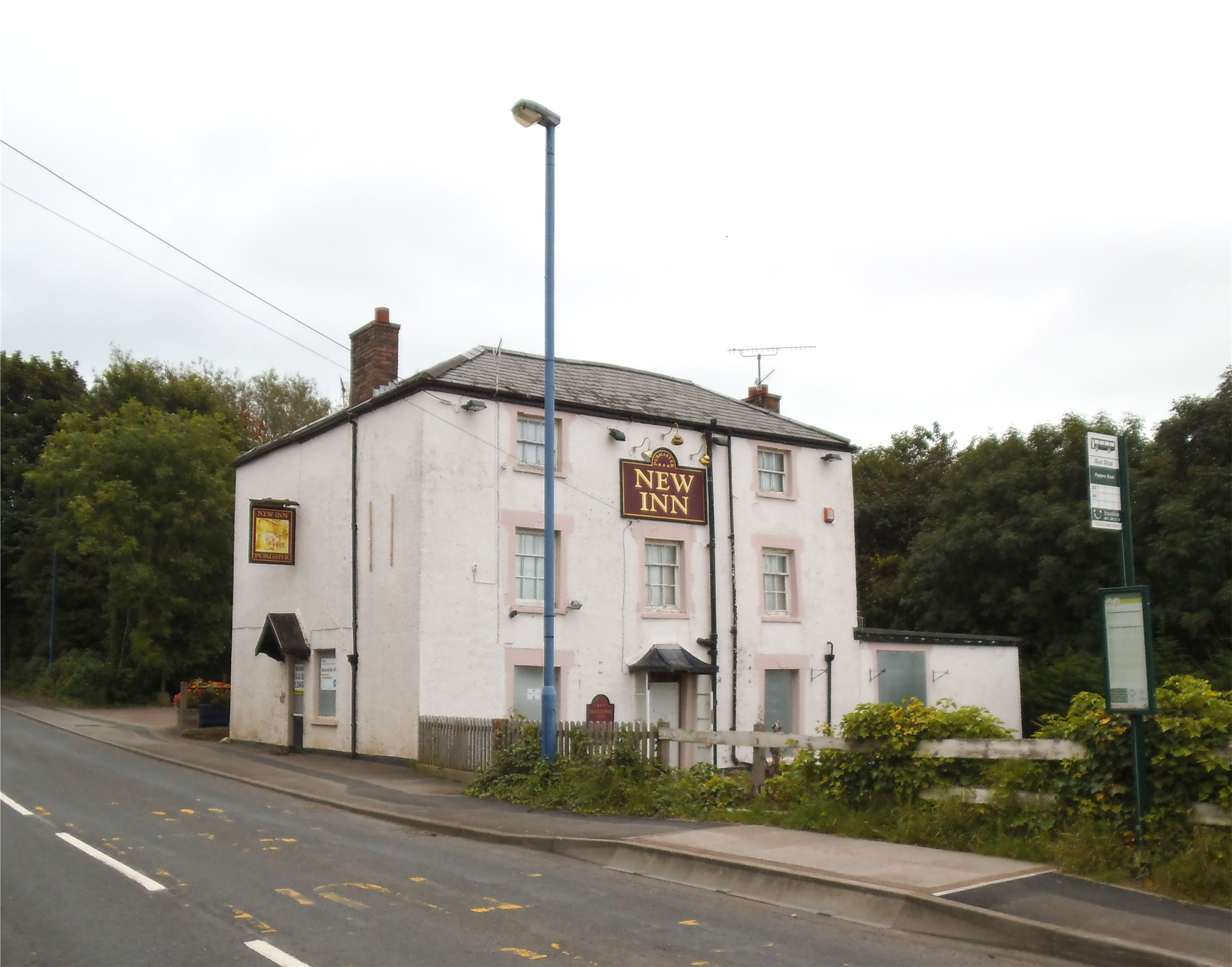
Abergavenny Images

Images are sourced within 2km of 51.849662/-3.038848 or Grid Reference SO2817. Thanks to Geograph Open Source API. All images are credited.

Steep road down from the moorland
Lane behind Triley Court, looking south
Chapel and dog walker at Pantygelli
Lane to Bettws leaving the Old Hereford Road, next to MOT test centre
Downhill towards Pantygelli
Entrance to Triley Court From the Old Hereford Road.
Entrance to Triley Court
From the Old Hereford Road.
Entrance to Triley Court, Pantygelli From Old Hereford Road in rural Monmouthshire. 
Triley Court is Cwrt Triley in Welsh.
Entrance to Triley Court, Pantygelli
From Old Hereford Road in rural Monmouthshire. Triley Court is Cwrt Triley in Welsh.
Pantygelli boundary sign Alongside Old Hereford Road at the southern edge of Pantygelli, a hamlet in rural Monmouthshire.
Pantygelli boundary sign
Alongside Old Hereford Road at the southern edge of Pantygelli, a hamlet in rural Monmouthshire.
North along Old Hereford Road, Pantygelli In rural Monmouthshire.
North along Old Hereford Road, Pantygelli
In rural Monmouthshire.
Old Hereford Road away from Pantygelli, Monmouthshire Looking south. A Pantygelli boundary sign <a title="https://www.geograph.org.uk/photo/7179129" href="https://www.geograph.org.uk/photo/7179129">Link</a> is behind the camera.
Old Hereford Road away from Pantygelli, Monmouthshire
Looking south. A Pantygelli boundary sign Link is behind the camera.
Corrugated metal building, Pantygelli, Monmouthshire Former Mission Hall and Sunday School dating from 1926. In 2022 the converted building alongside Old Hereford Road provides holiday accommodation for up to four people.
Corrugated metal building, Pantygelli, Monmouthshire
Former Mission Hall and Sunday School dating from 1926. In 2022 the converted building alongside Old Hereford Road provides holiday accommodation for up to four people.
The Crown Pantygelli Pub set back from the west side of Old Hereford Road 
in Pantygelli in rural Monmouthshire.
The Crown Pantygelli
Pub set back from the west side of Old Hereford Road in Pantygelli in rural Monmouthshire.
South along Old Hereford Road, Pantygelli, Monmouthshire Now (May 2022) in use as holiday accommodation, 
a dark green corrugated building <a title="https://www.geograph.org.uk/photo/7179176" href="https://www.geograph.org.uk/photo/7179176">Link</a> is on the left.
South along Old Hereford Road, Pantygelli, Monmouthshire
Now (May 2022) in use as holiday accommodation, a dark green corrugated building Link is on the left.
Hedge-lined road, Pantygelli, Monmouthshire Looking north along Old Hereford Road. Ahead for Bettws and Forest Coal Pit.
Hedge-lined road, Pantygelli, Monmouthshire
Looking north along Old Hereford Road. Ahead for Bettws and Forest Coal Pit.
Crown Inn, Pantygelli
Junction of Old Hereford Road and Deri Road, Abergavenny Looking north along Old Hereford Road. Deri Road joins from the left.
Junction of Old Hereford Road and Deri Road, Abergavenny
Looking north along Old Hereford Road. Deri Road joins from the left.
Old Hereford Road heads away from Abergavenny Viewed from the junction <a title="https://www.geograph.org.uk/photo/2799307" href="https://www.geograph.org.uk/photo/2799307">Link</a> with Deri Road.
Old Hereford Road heads away from Abergavenny
Viewed from the junction Link with Deri Road.
The Crown, Pantygelli A gastro-pub type hostelry on the Old Hereford Road.
The Crown, Pantygelli
A gastro-pub type hostelry on the Old Hereford Road.
Show me another place!

Abergavenny is located at Grid Ref: SO2817 (Lat: 51.849662, Lng: -3.038848)

Unitary Authority: Monmouthshire

Police Authority: Gwent

Also known as: Y Fenni

What 3 Words

///tugging.lawyer.surviving. Near Abergavenny, Monmouthshire

Nearby Locations

The Park Abergavenny

Related Wikis

Abergavenny Priory Deer Park

Abergavenny Priory Deer Park, to the north of the town of Abergavenny in Monmouthshire, Wales, was a mediaeval deer park. Today, the site is listed on...

Sugar Loaf, Monmouthshire

The Sugar Loaf, sometimes called Sugar Loaf (Welsh: Mynydd Pen-y-fâl or Y Fâl), is a hill situated 2 miles (3.2 km) north-west of Abergavenny in Monmouthshire...

Abergavenny fireworks display

The Abergavenny fireworks display is an annual organized fireworks display held each year on 5 November, Guy Fawkes Night in Abergavenny, Wales. The event...

Mardy, Monmouthshire

The Mardy (Welsh: Y Maerdy) is a village in Monmouthshire, south east Wales. == Location == Mardy is located immediately to the north of the market town...

Pen-y-Pound, Abergavenny

Pen-y-Pound is a cricket ground in Abergavenny, Wales. It is the home of Abergavenny Cricket Club, who play in the South Wales Cricket League. The ground...

King Henry VIII 3-19 School, Abergavenny

King Henry VIII 3-19 School Abergavenny (Welsh: Ysgol y Brenin Harri VIII) is an English-language comprehensive school situated in the town of Abergavenny...

Abergavenny Town F.C.

Abergavenny Town Football Club is a Welsh association football club based in the town of Abergavenny, Monmouthshire, The team play in the Cymru South,...

St Peter's Church, Llanwenarth

The Church of St Peter, Llanwenarth, Monmouthshire is a parish church with reported origins in the 6/7th centuries. The current building dates from the...

Nearby Amenities

Located within 500m of 51.849662,-3.038848
Barrier: stile
Foot: yes
Material: wood
Step Count: 1
Stile: stepover
Lat/Long: 51.8461016/-3.0366736
Ford: yes
Lat/Long: 51.8472937/-3.0338499
Ford: yes
Lat/Long: 51.8493224/-3.035515
The data included in this document is from www.openstreetmap.org. The data is made available under ODbL.

Have you been to Abergavenny?

Leave your review of Abergavenny below (or comments, questions and feedback).