The Park

Wood, Forest in Monmouthshire

Wales

The Park

Steep road down from the moorland
Steep road down from the moorland Credit: Rob Purvis

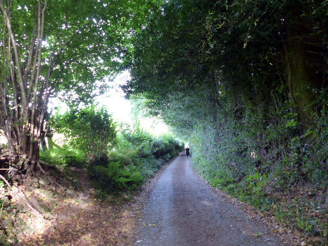
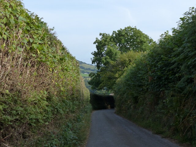
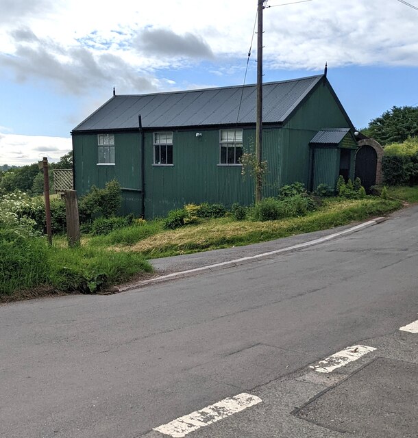
The Park in Monmouthshire is a picturesque woodland area that offers visitors a tranquil and idyllic retreat from the hustle and bustle of everyday life. Located in the heart of the county, this forested paradise spans over 200 acres and boasts a diverse range of flora and fauna.

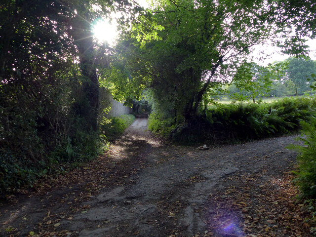
The Park is renowned for its ancient oak trees, which create a majestic canopy overhead, allowing dappled sunlight to filter through and illuminate the forest floor. These trees are not only a sight to behold but also provide a habitat for a variety of bird species, including woodpeckers and owls.

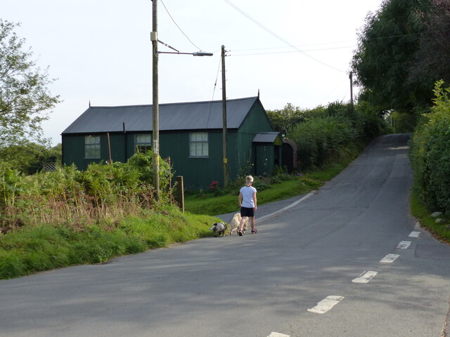
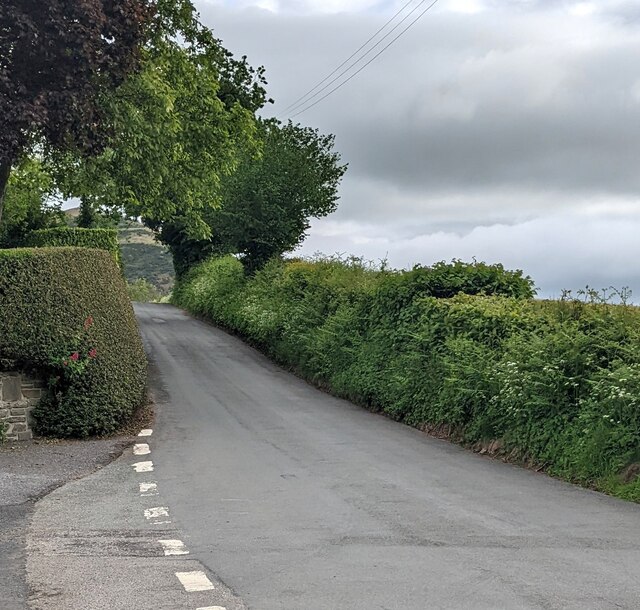
Visitors to The Park can explore its many walking trails, each offering a unique perspective of the woodland. The trails meander through the forest, passing babbling brooks, wildflower meadows, and hidden clearings. Nature enthusiasts will be delighted by the abundance of wildlife that can be spotted along the way, such as deer, foxes, and squirrels.

In addition to its natural beauty, The Park also offers a range of recreational activities. There are designated picnic areas where visitors can enjoy a leisurely lunch surrounded by the sights and sounds of nature. For those seeking more adventure, there are opportunities for mountain biking, horseback riding, and even orienteering.

The Park is a haven for both locals and tourists alike, providing a peaceful retreat where one can reconnect with nature. Its serene atmosphere and stunning scenery make it a must-visit destination for anyone seeking solace in the beauty of the outdoors.

If you have any feedback on the listing, please let us know in the comments section below.
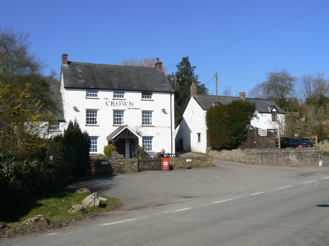
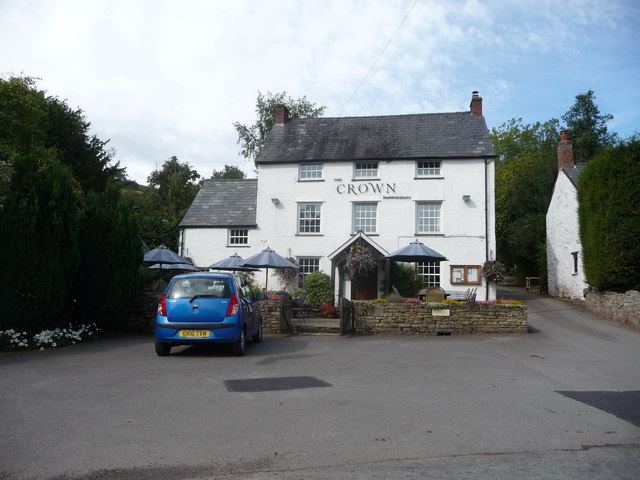
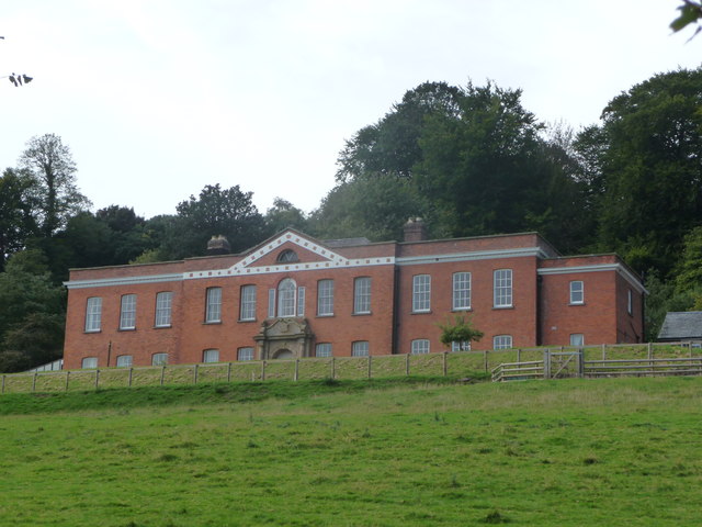
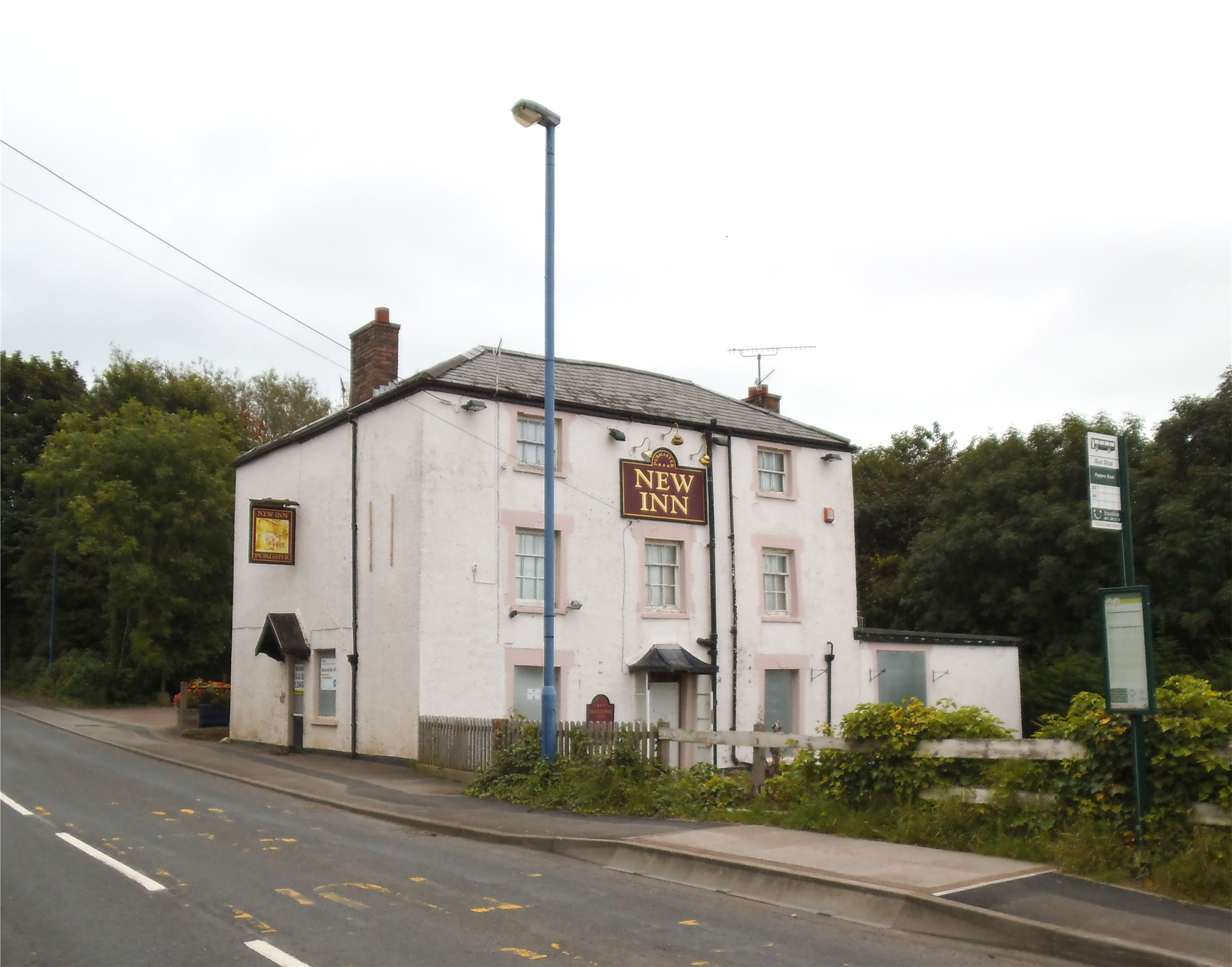
The Park Images

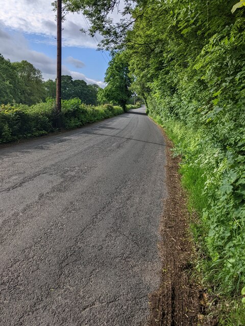
Images are sourced within 2km of 51.854738/-3.0427612 or Grid Reference SO2817. Thanks to Geograph Open Source API. All images are credited.

Steep road down from the moorland
Lane behind Triley Court, looking south
Chapel and dog walker at Pantygelli
Lane to Bettws leaving the Old Hereford Road, next to MOT test centre
Downhill towards Pantygelli
Pantygelli boundary sign Alongside Old Hereford Road at the southern edge of Pantygelli, a hamlet in rural Monmouthshire.
Pantygelli boundary sign
Alongside Old Hereford Road at the southern edge of Pantygelli, a hamlet in rural Monmouthshire.
North along Old Hereford Road, Pantygelli In rural Monmouthshire.
North along Old Hereford Road, Pantygelli
In rural Monmouthshire.
Old Hereford Road away from Pantygelli, Monmouthshire Looking south. A Pantygelli boundary sign <a title="https://www.geograph.org.uk/photo/7179129" href="https://www.geograph.org.uk/photo/7179129">Link</a> is behind the camera.
Old Hereford Road away from Pantygelli, Monmouthshire
Looking south. A Pantygelli boundary sign Link is behind the camera.
Corrugated metal building, Pantygelli, Monmouthshire Former Mission Hall and Sunday School dating from 1926. In 2022 the converted building alongside Old Hereford Road provides holiday accommodation for up to four people.
Corrugated metal building, Pantygelli, Monmouthshire
Former Mission Hall and Sunday School dating from 1926. In 2022 the converted building alongside Old Hereford Road provides holiday accommodation for up to four people.
The Crown Pantygelli Pub set back from the west side of Old Hereford Road 
in Pantygelli in rural Monmouthshire.
The Crown Pantygelli
Pub set back from the west side of Old Hereford Road in Pantygelli in rural Monmouthshire.
South along Old Hereford Road, Pantygelli, Monmouthshire Now (May 2022) in use as holiday accommodation, 
a dark green corrugated building <a title="https://www.geograph.org.uk/photo/7179176" href="https://www.geograph.org.uk/photo/7179176">Link</a> is on the left.
South along Old Hereford Road, Pantygelli, Monmouthshire
Now (May 2022) in use as holiday accommodation, a dark green corrugated building Link is on the left.
Hedge-lined road, Pantygelli, Monmouthshire Looking north along Old Hereford Road. Ahead for Bettws and Forest Coal Pit.
Hedge-lined road, Pantygelli, Monmouthshire
Looking north along Old Hereford Road. Ahead for Bettws and Forest Coal Pit.
Crown Inn, Pantygelli
The Crown, Pantygelli A gastro-pub type hostelry on the Old Hereford Road.
The Crown, Pantygelli
A gastro-pub type hostelry on the Old Hereford Road.
Triley Court, Abergavenny One of a few striking country houses situated near Abergavenny, this one was a care home for many years until legislation changes made it untenable and I believe it may still be on the market. It would make a great hotel/country club maybe.

I know the selling agents were stating it is 'a Queen Anne style country house' but a bit of Googling reveals that it was built in the late Georgian period for or by a Thomas Philips Price, a man who inherited a fortune off an uncle and became an MP (Liberal) and High Sherriff of Monmouthshire, as well as sinking coal mines in the South Wales Valleys and living in Florence.

The property commands great views over the valley towards the Skirrid/Ysgyryd Fawr. It is conspicuous from the A465 Hereford to Abergavenny road.
Triley Court, Abergavenny
One of a few striking country houses situated near Abergavenny, this one was a care home for many years until legislation changes made it untenable and I believe it may still be on the market. It would make a great hotel/country club maybe. I know the selling agents were stating it is 'a Queen Anne style country house' but a bit of Googling reveals that it was built in the late Georgian period for or by a Thomas Philips Price, a man who inherited a fortune off an uncle and became an MP (Liberal) and High Sherriff of Monmouthshire, as well as sinking coal mines in the South Wales Valleys and living in Florence. The property commands great views over the valley towards the Skirrid/Ysgyryd Fawr. It is conspicuous from the A465 Hereford to Abergavenny road.
Triley Court near Abergavenny This elegant country house is brick built in the late Georgian period (early 1800's) and has a triangular pediment with a decorated string course. The house alone is 16,000 square feet and the estate includes other cottages, a lake I believe, glasshouses and formal and kitchen gardens.

It would make a great film set - if they do any more Jane Austens and the like.
Triley Court near Abergavenny
This elegant country house is brick built in the late Georgian period (early 1800's) and has a triangular pediment with a decorated string course. The house alone is 16,000 square feet and the estate includes other cottages, a lake I believe, glasshouses and formal and kitchen gardens. It would make a great film set - if they do any more Jane Austens and the like.
Fields near Great Gott
Tafarn y Crown Inn, Pantygelli Tafarn Ye Old Crown Inn, Pantygelli.

Ye old Crown Inn, Pantygelli (trans. hollow of the grove).
Tafarn y Crown Inn, Pantygelli
Tafarn Ye Old Crown Inn, Pantygelli. Ye old Crown Inn, Pantygelli (trans. hollow of the grove).
Show me another place!

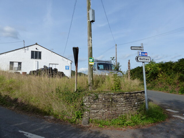
The Park is located at Grid Ref: SO2817 (Lat: 51.854738, Lng: -3.0427612)

Unitary Authority: Monmouthshire

Police Authority: Gwent

What 3 Words

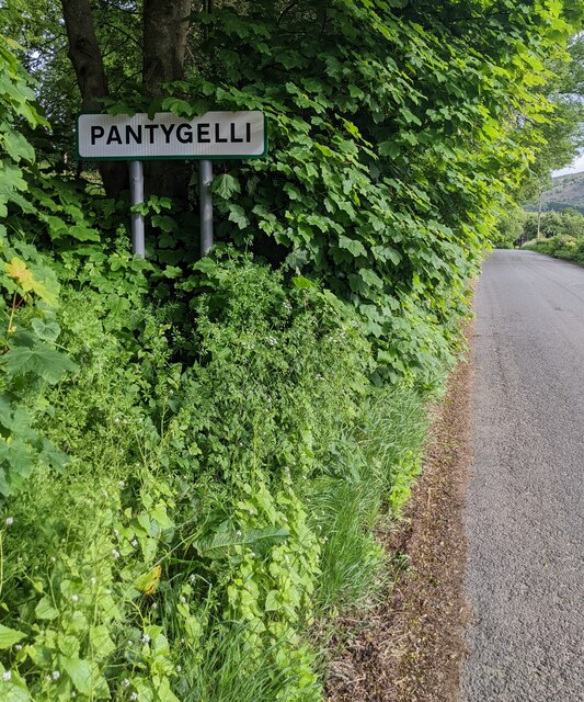
///trades.flagging.guarding. Near Abergavenny, Monmouthshire

Nearby Locations

Abergavenny The Park

Related Wikis

Abergavenny Priory Deer Park

Abergavenny Priory Deer Park, to the north of the town of Abergavenny in Monmouthshire, Wales, was a mediaeval deer park. Today, the site is listed on...

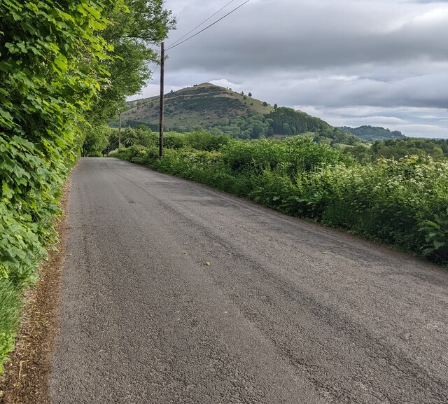
Sugar Loaf, Monmouthshire

The Sugar Loaf, sometimes called Sugar Loaf (Welsh: Mynydd Pen-y-fâl or Y Fâl), is a hill situated 2 miles (3.2 km) north-west of Abergavenny in Monmouthshire...

Bryn Arw

Bryn Arw is a hill in the Black Mountains of the Brecon Beacons National Park in Monmouthshire, south Wales. It lies 4 km north of the town of Abergavenny...

Mardy, Monmouthshire

The Mardy (Welsh: Y Maerdy) is a village in Monmouthshire, south east Wales. == Location == Mardy is located immediately to the north of the market town...

Abergavenny fireworks display

The Abergavenny fireworks display is an annual organized fireworks display held each year on 5 November, Guy Fawkes Night in Abergavenny, Wales. The event...

Pen-y-Pound, Abergavenny

Pen-y-Pound is a cricket ground in Abergavenny, Wales. It is the home of Abergavenny Cricket Club, who play in the South Wales Cricket League. The ground...

St Peter's Church, Llanwenarth

The Church of St Peter, Llanwenarth, Monmouthshire is a parish church with reported origins in the 6/7th centuries. The current building dates from the...

King Henry VIII 3-19 School, Abergavenny

King Henry VIII 3-19 School Abergavenny (Welsh: Ysgol y Brenin Harri VIII) is an English-language comprehensive school situated in the town of Abergavenny...

Nearby Amenities

Located within 500m of 51.854738,-3.0427612
Ford: yes
Lat/Long: 51.858156/-3.0455629
Ford: yes
Lat/Long: 51.8570927/-3.0404768
Ford: yes
Lat/Long: 51.8529547/-3.0447942
The data included in this document is from www.openstreetmap.org. The data is made available under ODbL.

Have you been to The Park?

Leave your review of The Park below (or comments, questions and feedback).