Youlthorpe
Settlement in Yorkshire
England
Youlthorpe
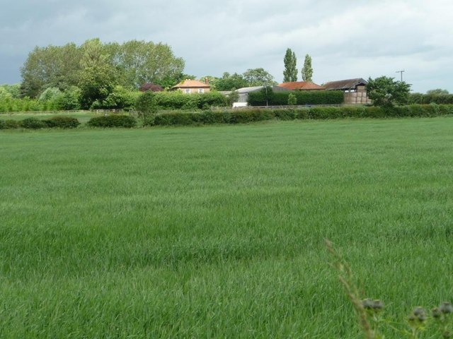
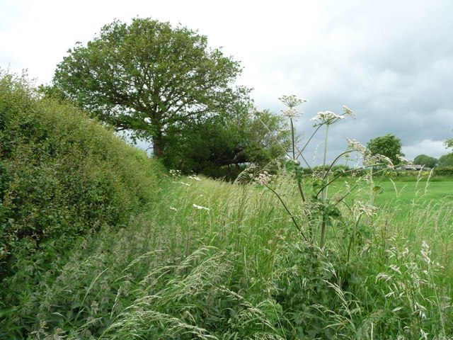
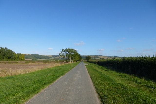
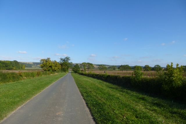
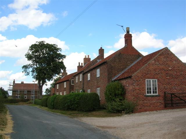
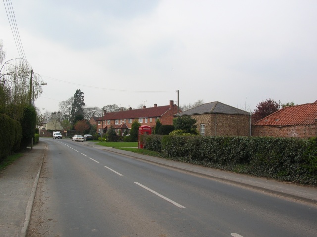
Youlthorpe is a small village located in the East Riding of Yorkshire, England. Situated approximately 10 miles northwest of the city of York, the village is nestled in the picturesque countryside, surrounded by fields and farmland. With a population of around 200 residents, Youlthorpe boasts a close-knit community that takes pride in its peaceful and idyllic setting.
The village is characterized by its charming traditional architecture, with many buildings dating back to the 18th and 19th centuries. The centerpiece of Youlthorpe is the St. Mary's Church, a beautiful Grade II listed building that has been a focal point of the community for centuries.
Despite its small size, Youlthorpe offers a range of amenities to its residents. The village has a local pub, The Plough Inn, which serves as a meeting point for locals and visitors alike. The pub offers a warm and friendly atmosphere, along with a selection of traditional dishes and ales.
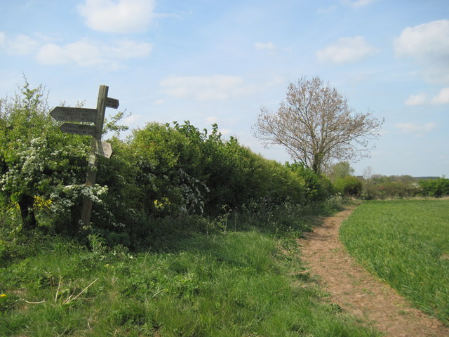
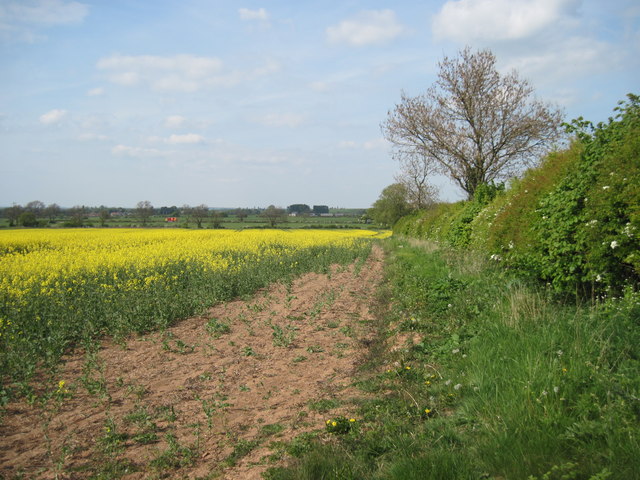
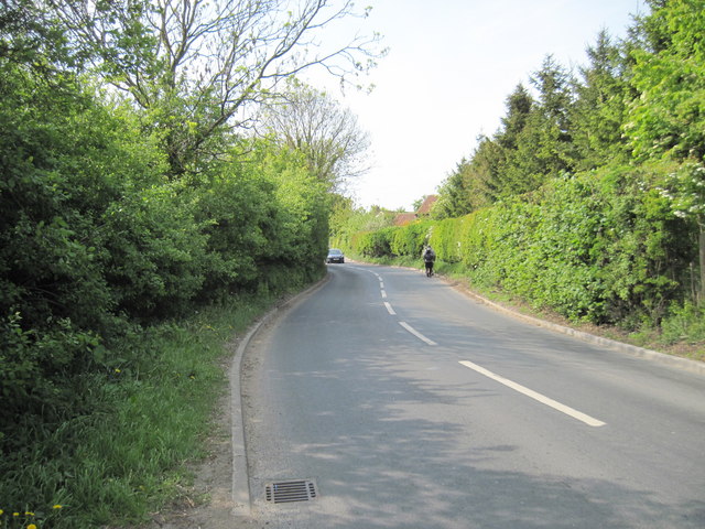
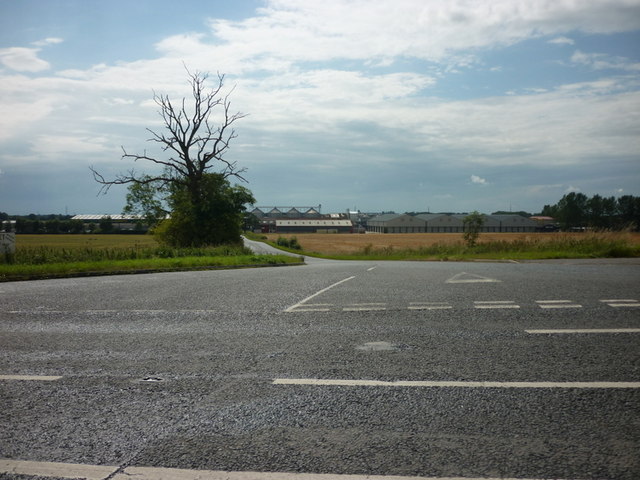
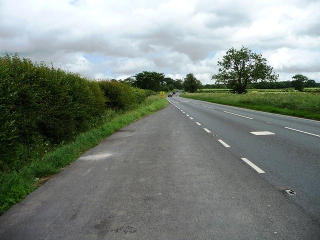
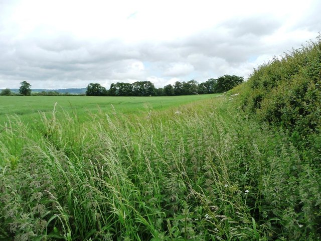
Residents of Youlthorpe enjoy a peaceful rural lifestyle, with ample opportunities for outdoor activities. The surrounding countryside provides scenic walking and cycling routes, allowing residents to explore the natural beauty of the area. The village is also close to several nature reserves and country parks, offering further opportunities for outdoor recreation.
Overall, Youlthorpe is a charming and tranquil village that offers a sense of community and a rural lifestyle, making it an appealing place to live for those seeking a peaceful retreat in the heart of Yorkshire.
If you have any feedback on the listing, please let us know in the comments section below.
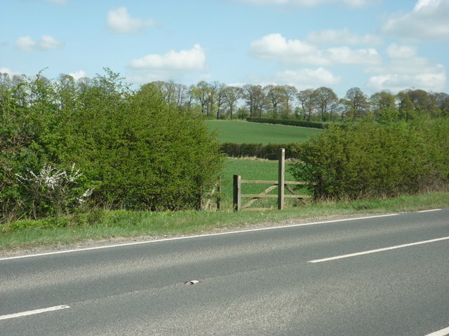
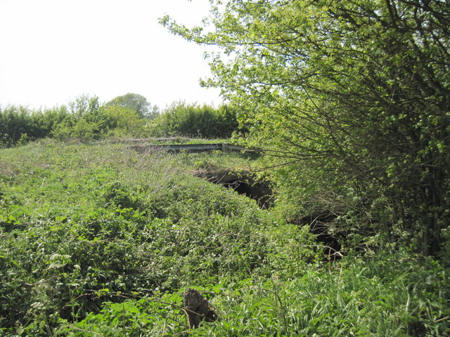
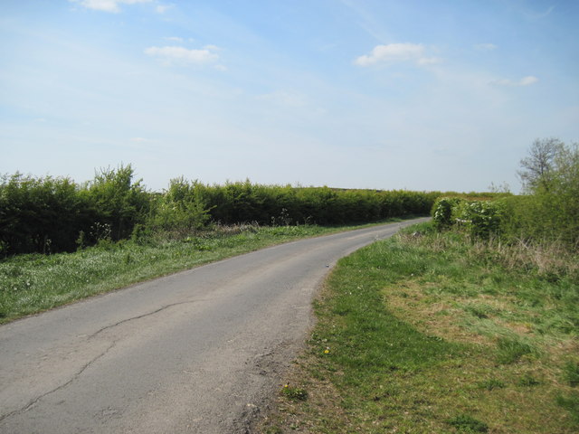
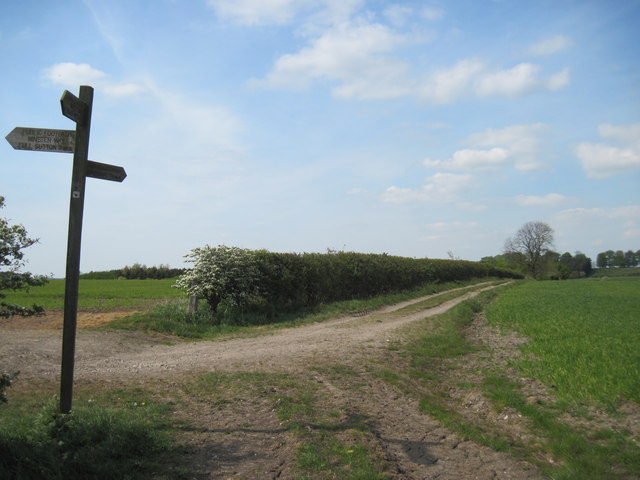
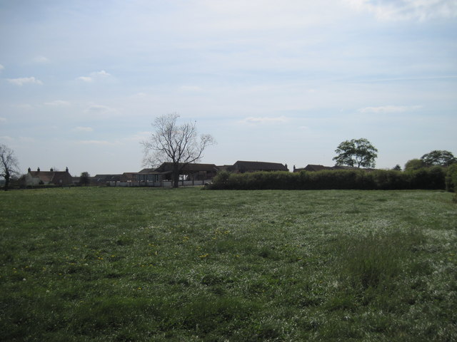
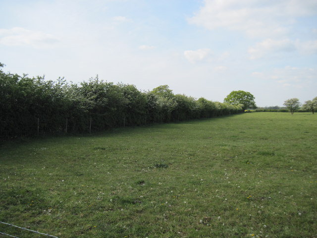
Youlthorpe Images
Images are sourced within 2km of 53.991128/-0.83252514 or Grid Reference SE7655. Thanks to Geograph Open Source API. All images are credited.


Youlthorpe is located at Grid Ref: SE7655 (Lat: 53.991128, Lng: -0.83252514)
Division: East Riding
Unitary Authority: East Riding of Yorkshire
Police Authority: Humberside
What 3 Words
///redeeming.sweeper.outfitter. Near Full Sutton, East Yorkshire
Nearby Locations
Related Wikis
Youlthorpe
Youlthorpe is a hamlet in the East Riding of Yorkshire, England. It forms part of the civil parish of Bishop Wilton. It is situated approximately 10 miles...

Gowthorpe
Gowthorpe is a hamlet in the East Riding of Yorkshire, England. It is situated approximately 4 miles (6 km) north-west of Pocklington town centre and 3...
Full Sutton
Full Sutton is a village and civil parish in the East Riding of Yorkshire, England. It is situated approximately 2 miles (3 kilometres) east of the village...

Bugthorpe
Bugthorpe is a village and civil parish in the East Riding of Yorkshire, England, about 11 miles (18 km) east of York and 16 miles (26 km) west of Driffield...

Skirpenbeck
Skirpenbeck is a village and civil parish in the East Riding of Yorkshire, England. It is situated 2 miles (3.2 km) north-west of Stamford Bridge just...

HM Prison Full Sutton
HM Prison Full Sutton is a Category A and B men's prison in the village of Full Sutton, near Pocklington in the East Riding of Yorkshire, England. Full...

Fangfoss
Fangfoss is a village and civil parish in the East Riding of Yorkshire, England. It is situated approximately 11 miles (18 km) to the east of the city...

Full Sutton Airfield
Full Sutton Airfield (ICAO: EGNU) is an unlicensed aerodrome located 8 nautical miles (15 km; 9.2 mi) east of York in the East Riding of Yorkshire, England...
Nearby Amenities
Located within 500m of 53.991128,-0.83252514Have you been to Youlthorpe?
Leave your review of Youlthorpe below (or comments, questions and feedback).